Plizio Visual Lab
Ugam Range
Weather…
Water temperature…
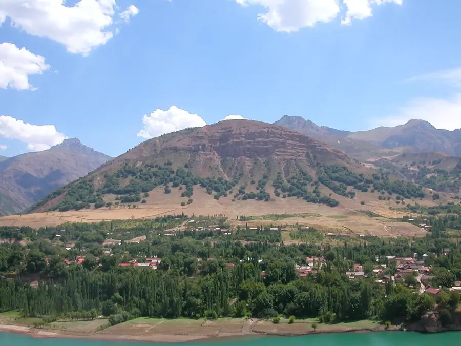
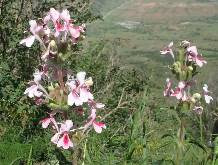
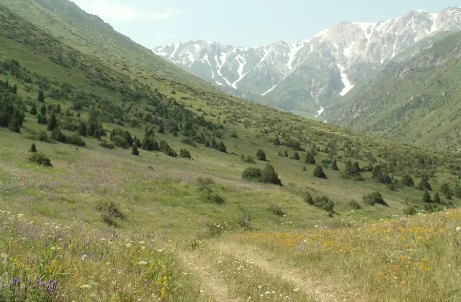
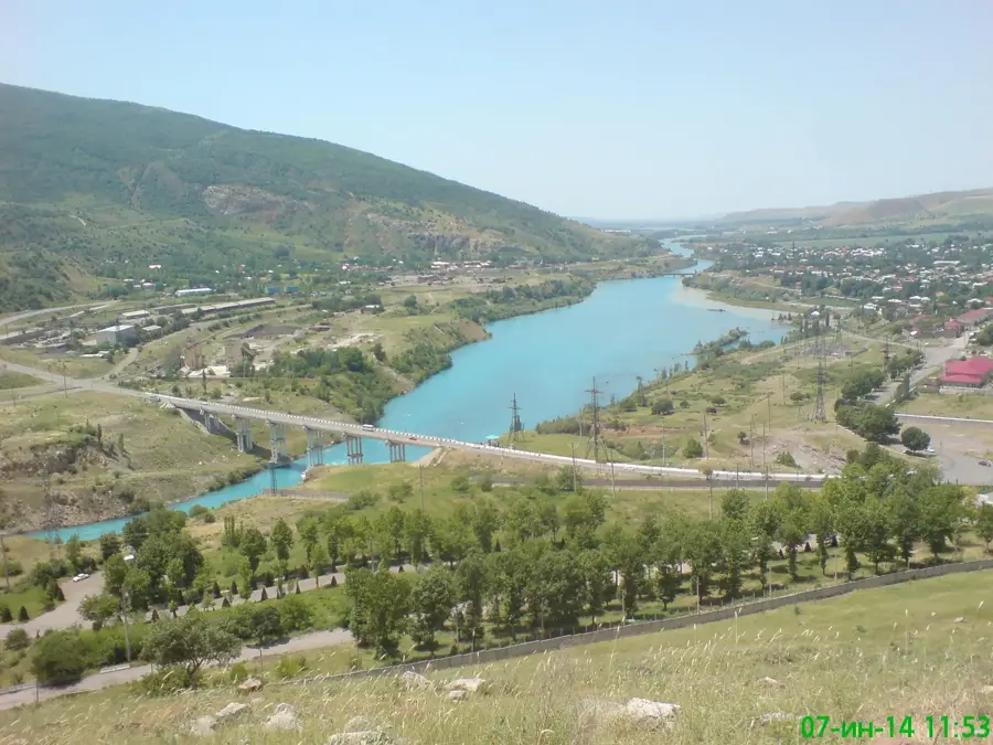
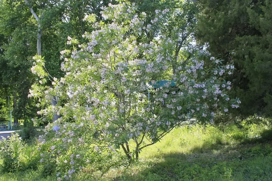
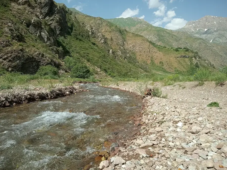
The Ugam Range is an impressive mountain chain within the Western Tien Shan system, spanning the border between Uzbekistan and Kazakhstan. Its highest point is Sairam Peak, reaching an elevation of 4,238 meters and often remaining snow-capped year-round. The range is characterized by rugged peaks, extensive alpine meadows, and deep, forested valleys that host rare species such as the Sievers' apple tree. A significant portion of the Uzbek territory lies within the Ugam-Chatkal National Park, established to protect unique ecosystems and vital water resources for the Tashkent region. Geologically, the range is composed of limestones and granites, facilitating the creation of numerous karst features, including caves and deep canyons. The Ugam and Pskem rivers, which originate here, are central to feeding the Charvak hydropower system. The region also serves as a critical refuge for the endangered snow leopard and the golden eagle.
- Location: Uzbekistan
- Nearby: Beldersay (18 km)
Best time to visit & climate
The most pleasant time to visit is Jun–Aug.
| Jan | Feb | Mar | Apr | May | Jun | Jul | Aug | Sep | Oct | Nov | Dec | |
|---|---|---|---|---|---|---|---|---|---|---|---|---|
| Avg °C | -5 | -3 | 3 | 9 | 14 | 20 | 23 | 22 | 16 | 9 | 2 | -4 |
| Rain mm | 62 | 76 | 76 | 73 | 46 | 22 | 8 | 6 | 9 | 41 | 71 | 70 |
📋 Practical info
Geography
Facts
- The highest point is Sairam Peak at 4,238 meters.
- Part of the protected Ugam-Chatkal National Park area.
- The range extends for approximately 115 kilometers.
- Host to the wild Sievers' apple, ancestor of domestic apples.
- Major contributor to the water volume of Charvak Reservoir.
- Features significant karst systems and deep canyons.
Explore nearby
Notable places around
Route planner — Car & Motorhome
Where do you start? We build the route here, with stops and country notes along the way.
© OpenStreetMap contributors · OpenRouteService
Sights in the town Ugam Range (1)
Sights nearby
Frequently asked questions
What characterizes the Ugam Mountains?
Are the routes well marked?
Is the water in the streams drinkable?
How is the accommodation?
When is the best time for hiking?
Ugam Range: where is it located?
Ugam Range: when is the best time to visit?
Ugam Range: why is it worth visiting?

Nearby cities

History & landmarks
More places