Plizio Visual Lab
Cuchilla del Ombú

Weather…
Water temperature…
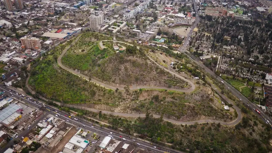
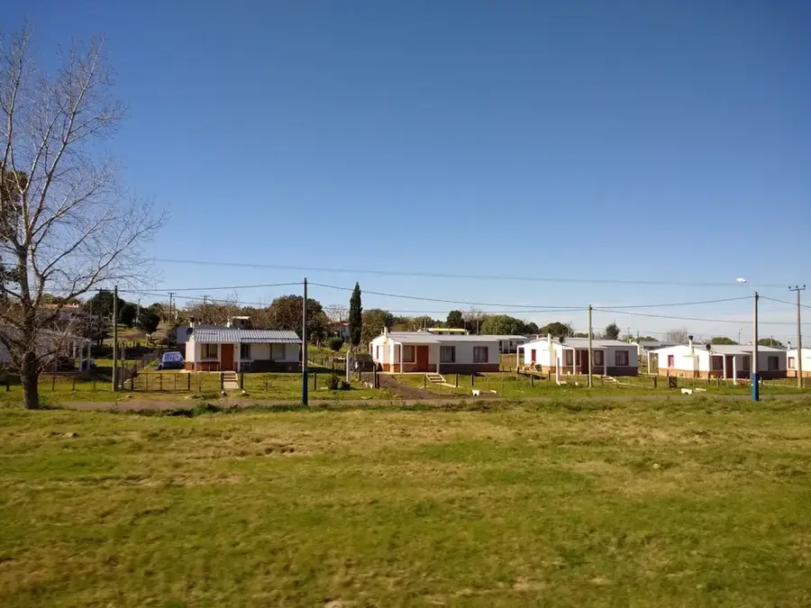
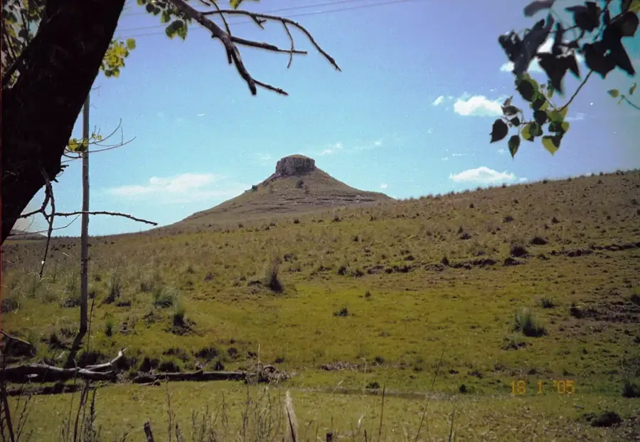
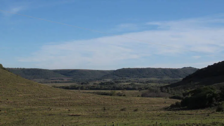
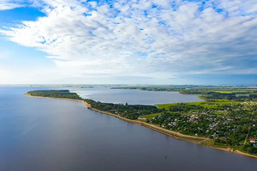
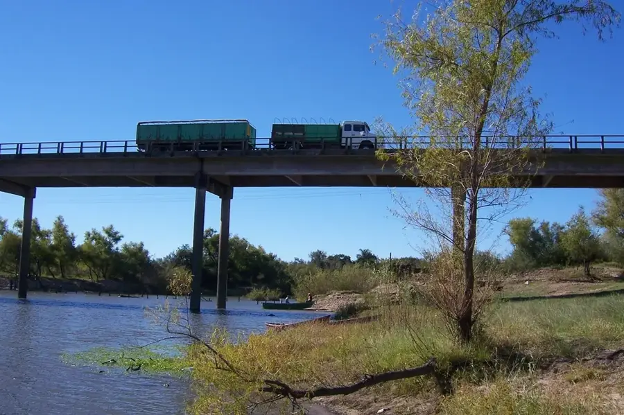
The Cuchilla del Ombú is a hill range in northeastern Uruguay, stretching through the departments of Cerro Largo and Tacuarembó. It is another branch of the Cuchilla Grande system. The range is named after the Ombú tree, an iconic tree-like herb of the Pampas, which can be found in the region. The elevations of the Cuchilla del Ombú are modest, averaging between 150 and 250 meters. Its geology is characterized by a crystalline rock base, covered in many places by younger sandstone and basalt layers. The landscape consists of gently rolling plains and hills, used primarily for cattle ranching, which is the dominant economic activity. The range influences local drainage systems, separating the basins of streams that flow north towards the Río Negro and south towards other tributaries.
- Location: Uruguay
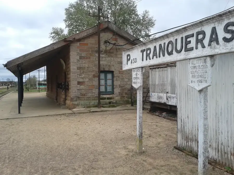
- Nearby: Tranqueras (33 km)
Best time to visit & climate
The most pleasant time to visit is Mar, Nov, Dec.
| Jan | Feb | Mar | Apr | May | Jun | Jul | Aug | Sep | Oct | Nov | Dec | |
|---|---|---|---|---|---|---|---|---|---|---|---|---|
| Avg °C | 25 | 24 | 21 | 18 | 14 | 11 | 10 | 12 | 14 | 17 | 20 | 23 |
| Rain mm | 120 | 146 | 116 | 152 | 123 | 94 | 79 | 110 | 122 | 163 | 123 | 117 |
📋 Practical info
Geography
Facts
- Located in the Cerro Largo and Tacuarembó departments.
- Named after the Ombú tree found in the region.
- Reaches average altitudes of 150-250 meters.
- Part of the Cuchilla Grande system.
- The main economic activity is cattle ranching.
- Influences the local watersheds.
Explore nearby
Notable places around
Route planner — Car & Motorhome
Where do you start? We build the route here, with stops and country notes along the way.
© OpenStreetMap contributors · OpenRouteService
Sights nearby
Frequently asked questions
What is special?
Is it good for walking?
Is it family-friendly?
When is it best?
Is there service?
Cuchilla del Ombú: where is it located?
Cuchilla del Ombú: when is the best time to visit?
Cuchilla del Ombú: why is it worth visiting?

Nearby cities

Nature
More places