Plizio Visual Lab
Cuchilla de Peralta
Weather…
Water temperature…
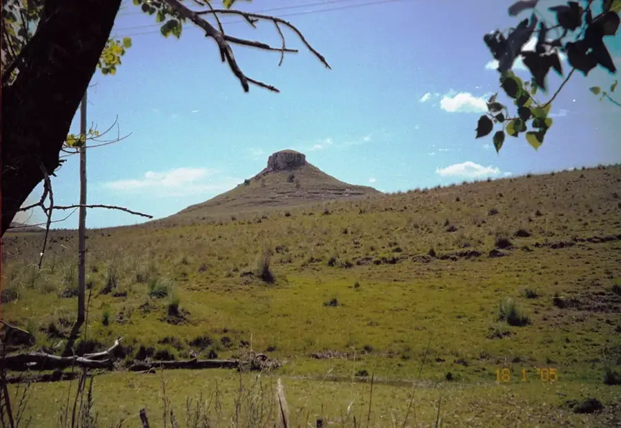
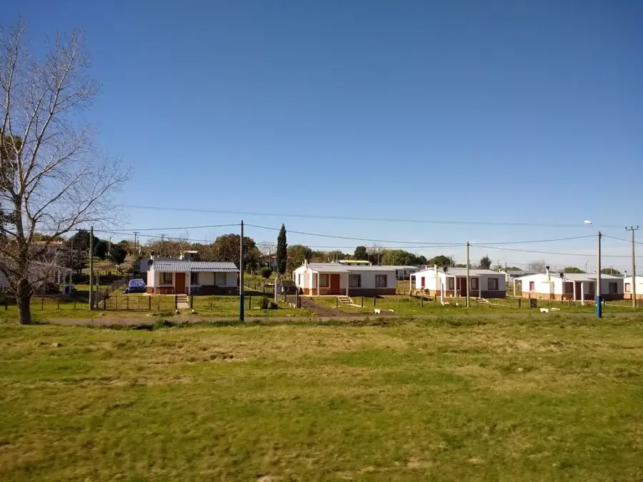
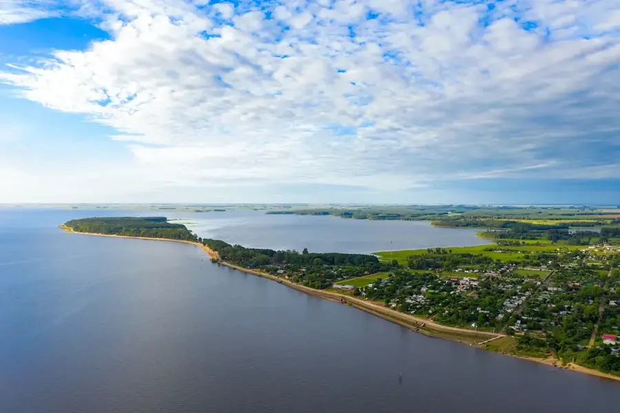
The Cuchilla de Peralta is a secondary hill range in central Uruguay, running mainly through the Tacuarembó Department. It is part of the extensive Cuchilla Grande system, which forms the backbone of Uruguay's topography. The Peralta range reaches moderate altitudes, typically between 200 and 300 meters. Geologically, it is composed of a mix of Precambrian crystalline rocks and younger sedimentary coverings. The landscape is dominated by rolling hills covered in natural grasslands, historically used for sheep and cattle ranching. The range acts as a local watershed for smaller rivers and streams that feed into the Río Negro. Although not as prominent as other Uruguayan hill ranges, the Cuchilla de Peralta plays a significant role in the region's rural economy and hydrography.
- Location: Uruguay
- Nearby: Paso de los Toros (28 km)
Best time to visit & climate
The most pleasant time to visit is Mar, Nov, Dec.
| Jan | Feb | Mar | Apr | May | Jun | Jul | Aug | Sep | Oct | Nov | Dec | |
|---|---|---|---|---|---|---|---|---|---|---|---|---|
| Avg °C | 25 | 24 | 21 | 18 | 14 | 11 | 10 | 12 | 14 | 17 | 20 | 23 |
| Rain mm | 118 | 143 | 111 | 146 | 120 | 93 | 79 | 112 | 119 | 144 | 106 | 109 |
📋 Practical info
Geography
Facts
- Located mainly in the Tacuarembó Department.
- Part of the Cuchilla Grande system.
- Reaches altitudes between 200 and 300 meters.
- Composed of Precambrian and sedimentary rocks.
- Important region for sheep and cattle ranching.
- Acts as a local watershed for tributaries of the Río Negro.
Explore nearby
Notable places around
Route planner — Car & Motorhome
Where do you start? We build the route here, with stops and country notes along the way.
© OpenStreetMap contributors · OpenRouteService
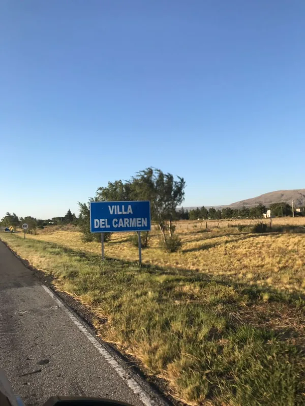
Sights in the town Cuchilla de Peralta (1)
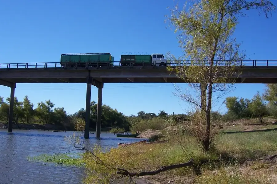
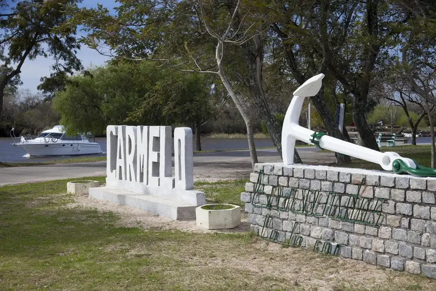
Sights nearby
Frequently asked questions
Is the area easily accessible?
Are there views there?
Is there accommodation?
How long to stay?
Is it family-friendly?
Cuchilla de Peralta: where is it located?
Cuchilla de Peralta: when is the best time to visit?
Cuchilla de Peralta: why is it worth visiting?

Nearby cities


Nature
More places