Plizio Visual Lab
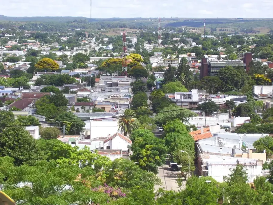
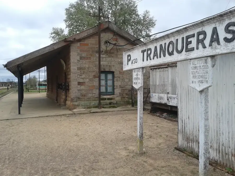
Cuchilla Negra
Weather…
Water temperature…
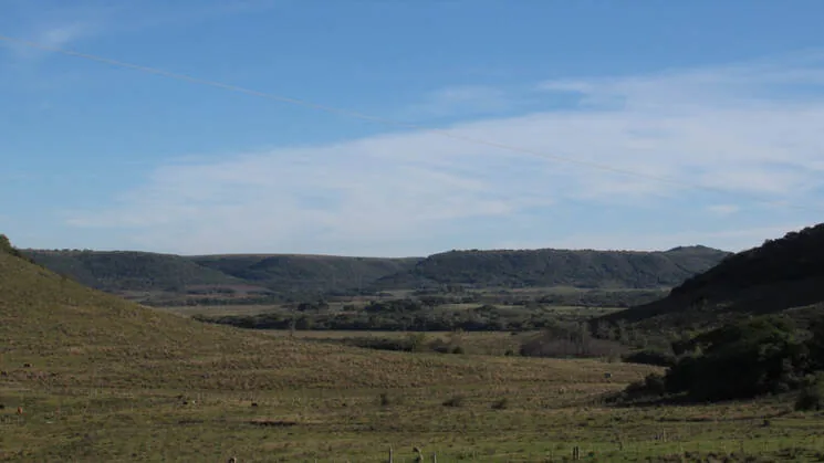
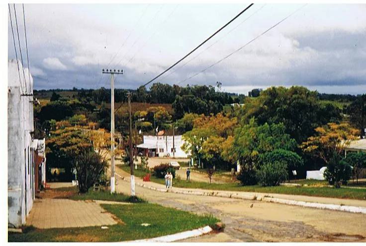
The Cuchilla Negra is a significant hill range that extends across northern Uruguay (notably the Rivera and Artigas departments) and into southern Brazil. It forms a major watershed, separating the Río Negro basin to the south from the Río Cuareim (called Quaraí in Brazil) basin to the north. Geologically, the range is composed mainly of basaltic rocks from the Arapey Formation, resulting from volcanic activity during the breakup of the Gondwana supercontinent around 132 million years ago. The landscape is characterized by rolling hills and extensive grasslands (praderas), which are traditionally used for cattle ranching. The Cuchilla Negra reaches elevations of over 300 meters and influences the local climate and vegetation. The region is also known for deposits of semi-precious stones, such as amethysts and agates, found within geodes in the basalt flows.
- Location: Uruguay
- Nearby: Tranqueras (27 km)
Best time to visit & climate
The most pleasant time to visit is Mar, Nov, Dec.
| Jan | Feb | Mar | Apr | May | Jun | Jul | Aug | Sep | Oct | Nov | Dec | |
|---|---|---|---|---|---|---|---|---|---|---|---|---|
| Avg °C | 25 | 24 | 22 | 18 | 14 | 12 | 11 | 13 | 14 | 17 | 20 | 23 |
| Rain mm | 132 | 136 | 115 | 165 | 139 | 89 | 92 | 105 | 137 | 173 | 146 | 140 |
📋 Practical info
Geography
Facts
- Extends across northern Uruguay and southern Brazil.
- Forms the watershed between the Río Negro and Río Cuareim basins.
- Composed of basalt from the Arapey Formation (c. 132 million years old).
- Reaches elevations of over 300 meters.
- The landscape is dominated by grasslands (pradera).
- Known for its amethyst and agate deposits.
Explore nearby
Notable places around
Route planner — Car & Motorhome
Where do you start? We build the route here, with stops and country notes along the way.
© OpenStreetMap contributors · OpenRouteService
Sights in the town Cuchilla Negra (1)
Sights nearby
Frequently asked questions
What is characteristic?
Is it safe?
Is there water?
Which season?
What should be kept in mind?
Cuchilla Negra: where is it located?
Cuchilla Negra: when is the best time to visit?
Cuchilla Negra: why is it worth visiting?

Nearby cities
More places