Plizio Visual Lab
Cuchilla de Haedo
Weather…
Water temperature…
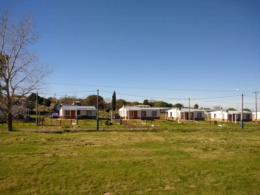
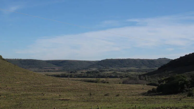
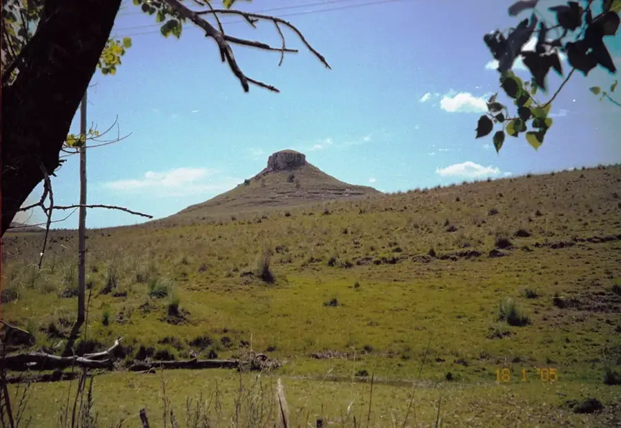
The Cuchilla de Haedo is a significant hill range in northwestern Uruguay, running roughly parallel to the Cuchilla Grande. It serves as the country's western watershed, separating the direct tributaries of the Uruguay River from the tributaries of the Río Negro. The range extends from the Brazilian border in the Rivera Department in a southwesterly direction through the departments of Salto, Tacuarembó, and Paysandú. Unlike the Cuchilla Grande, which is composed of crystalline rock, the Cuchilla de Haedo is primarily formed of basaltic formations resulting from the breakup of the Paraná Traps during the Cretaceous period. This results in a characteristic landscape of steps known as 'cuestas'. The soils in this region are often more fertile, supporting more intensive agriculture. The highest elevations of the Cuchilla de Haedo are more modest than those of the Cuchilla Grande, rarely exceeding 300 meters. Cerro Batoví in Tacuarembó is one of the range's most iconic peaks. The region is also famous for its amethyst and agate geodes, particularly in the Artigas department.
- Location: Uruguay
- Nearby: Paso de los Toros (81 km)
Best time to visit & climate
The most pleasant time to visit is Mar, Nov, Dec.
| Jan | Feb | Mar | Apr | May | Jun | Jul | Aug | Sep | Oct | Nov | Dec | |
|---|---|---|---|---|---|---|---|---|---|---|---|---|
| Avg °C | 25 | 24 | 21 | 18 | 14 | 11 | 11 | 12 | 14 | 17 | 20 | 23 |
| Rain mm | 127 | 145 | 116 | 158 | 131 | 89 | 80 | 106 | 124 | 175 | 140 | 131 |
📋 Practical info
Geography
Facts
- Runs through the northwest of Uruguay.
- Composed mainly of basaltic rock from the Cretaceous period.
- Separates the basins of the Uruguay River and the Río Negro.
- Forms a characteristic stepped landscape known as 'cuestas'.
- Its elevations rarely exceed 300 meters.
- The region is famous for its amethyst and agate deposits.
Explore nearby
Notable places around
Route planner — Car & Motorhome
Where do you start? We build the route here, with stops and country notes along the way.
© OpenStreetMap contributors · OpenRouteService
Sights nearby
Frequently asked questions
What characterizes the Cuchilla de Haedo?
Are there official hiking trails there?
What is the best means of transport?
Is the area safe?
When should one visit the region?
Cuchilla de Haedo: where is it located?
Cuchilla de Haedo: when is the best time to visit?
Cuchilla de Haedo: why is it worth visiting?

Nearby cities

Nature
More places