Plizio Visual Lab
Cerro de la Sepultura
Weather…
Water temperature…
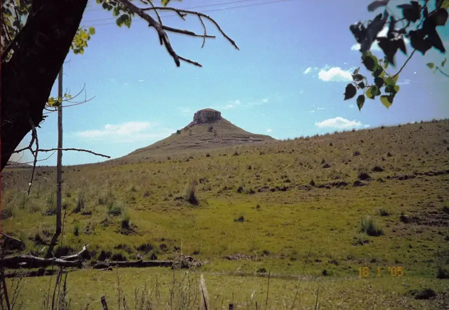
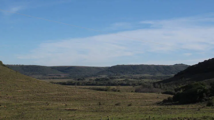
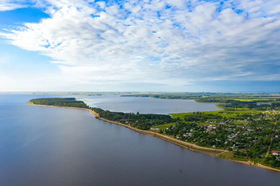
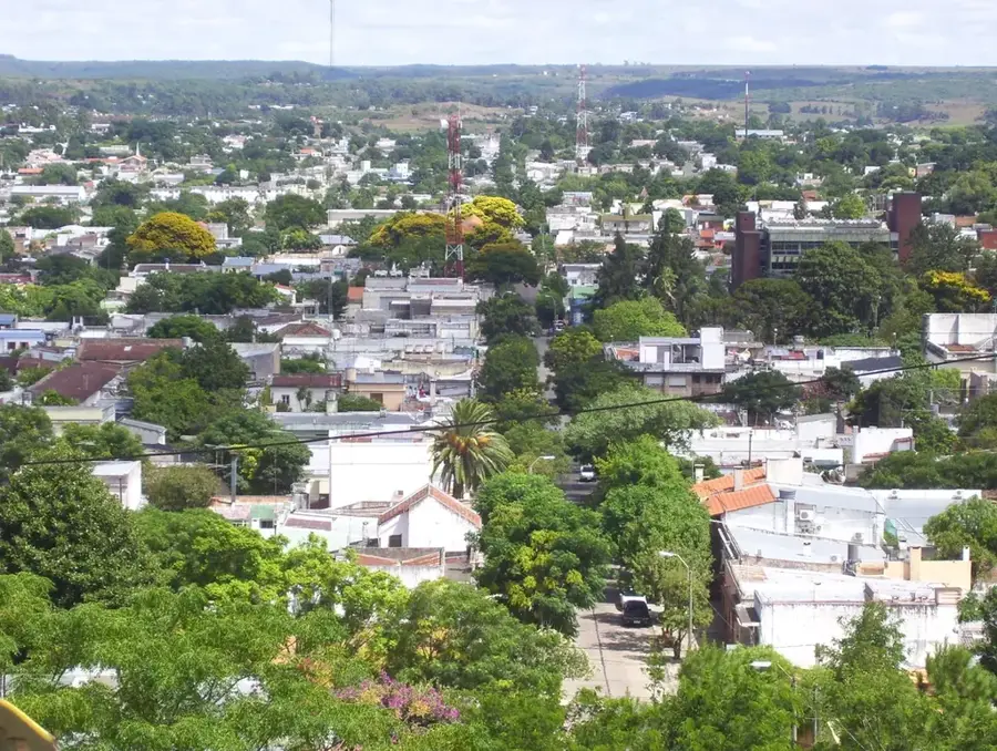
Cerro de la Sepultura ('Hill of the Grave') is a notable elevation in the Rocha Department, in eastern Uruguay. The hill is part of the Sierra de los Ajos, a sub-range of the Cuchilla Grande. Its name is believed to originate from prehistoric burial sites belonging to indigenous peoples found in the area, giving it a significant archaeological dimension. Geologically, the hill is composed of Precambrian granite and gneiss, typical of this region. With an altitude of around 250 meters, it provides a good viewpoint over the surrounding plains and wetlands that characterize the Rocha Department, including the proximity to the Santa Teresa National Park. The landscape is a mixture of rocky outcrops, palm groves (particularly the Butia palm), and extensive grazing lands. The region is known for its extensive cattle ranching. The combination of natural beauty, archaeological importance, and rural culture makes Cerro de la Sepultura an important point in the cultural and geographical mosaic of Rocha.
- Location: Uruguay
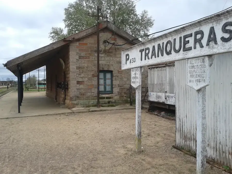
- Nearby: Tranqueras (34 km)
Best time to visit & climate
The most pleasant time to visit is Mar, Nov, Dec.
| Jan | Feb | Mar | Apr | May | Jun | Jul | Aug | Sep | Oct | Nov | Dec | |
|---|---|---|---|---|---|---|---|---|---|---|---|---|
| Avg °C | 25 | 24 | 21 | 18 | 14 | 11 | 10 | 12 | 14 | 17 | 20 | 23 |
| Rain mm | 120 | 146 | 116 | 152 | 123 | 94 | 79 | 110 | 122 | 163 | 123 | 117 |
📋 Practical info
Geography
Facts
- Located in the eastern Rocha Department.
- The name refers to indigenous burial sites.
- Reaches an altitude of approximately 250 meters.
- Part of the Sierra de los Ajos.
- Composed of Precambrian granite.
- The region is known for its Butia palm groves.
Explore nearby
Notable places around
Route planner — Car & Motorhome
Where do you start? We build the route here, with stops and country notes along the way.
© OpenStreetMap contributors · OpenRouteService
Sights nearby
Frequently asked questions
Are there hiking routes at Cerro de la Sepultura?
What is the difficulty level?
Is parking possible?
How long does the excursion take?
Is there accommodation nearby?
Cerro de la Sepultura: where is it located?
Cerro de la Sepultura: when is the best time to visit?
Cerro de la Sepultura: why is it worth visiting?

Nearby cities

Nature
More places