Plizio Visual Lab
Jebel Yibir
Weather…
Water temperature…
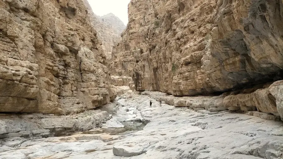
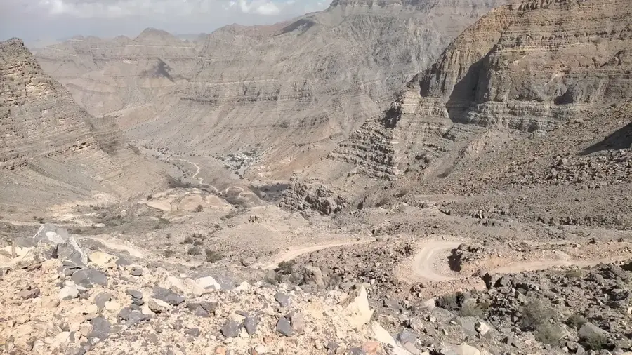
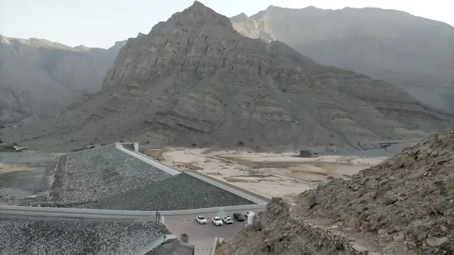
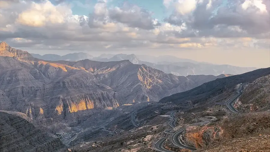
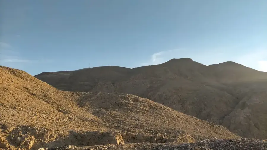
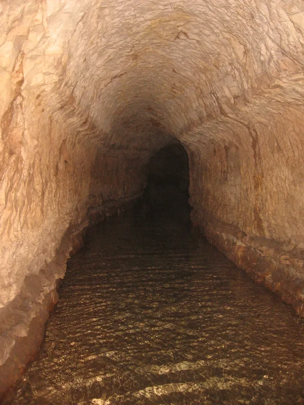
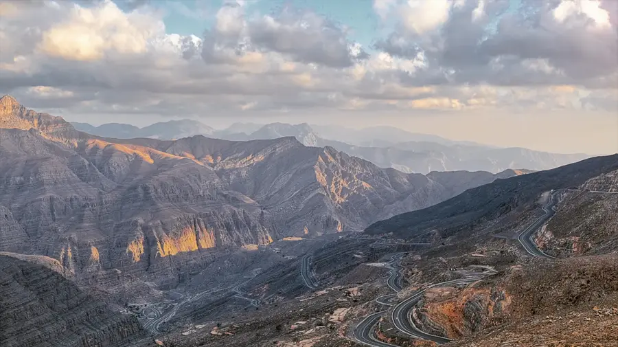
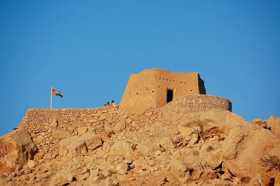
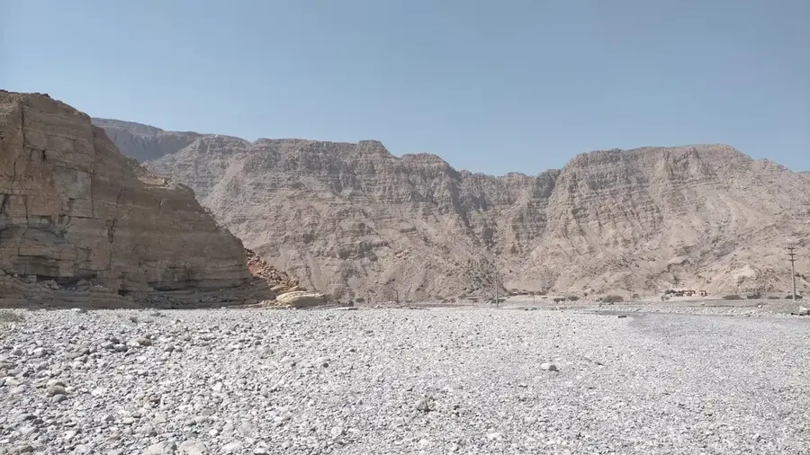
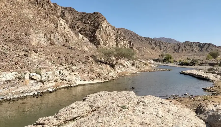
Jebel Yibir is one of the most significant mountain peaks in the United Arab Emirates, located in the Hajar range within the Emirate of Ras Al Khaimah. With an officially cited height of approximately 1,527 metres above sea level, it is considered the highest peak whose summit lies entirely within UAE territory. The mountain's barren, rocky landscape is characterized by steep limestone formations and deep wadis, which are typical features of the eastern part of the peninsula. A vital military installation is situated at the summit, which is why direct access to the highest point is usually restricted to the public. Nevertheless, the winding drive up to the mountain plateau features sweeping views of the surrounding valleys and the rugged ridges of the Musandam region. The geological structure of Jebel Yibir is rich in marine fossils, indicating its formation under sea level millions of years ago.
- Location: United Arab Emirates
- Top sights: Jabal Shariya · Jabal Ayuzah · Jabal Al Hamri
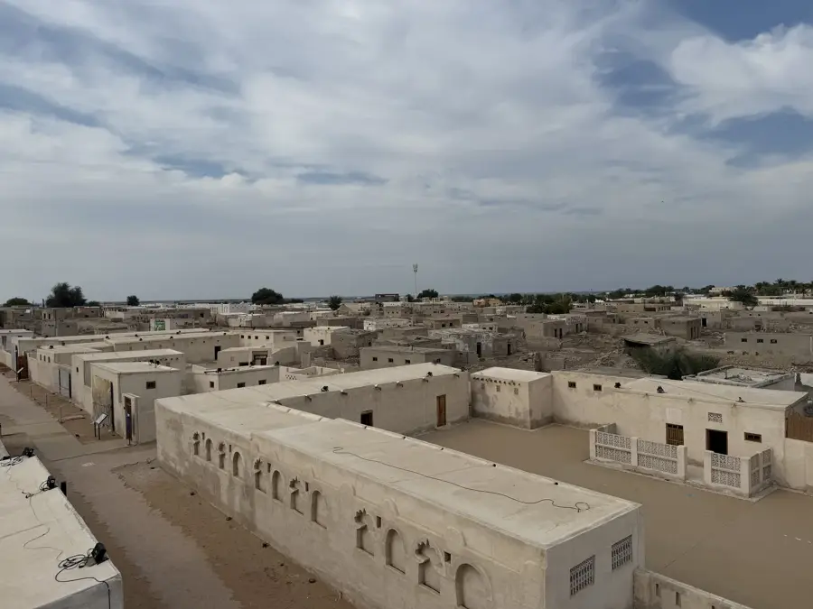
- Nearby: Khatt (14 km)
Best time to visit & climate
The most pleasant time to visit is Jan, Feb, Dec.
| Jan | Feb | Mar | Apr | May | Jun | Jul | Aug | Sep | Oct | Nov | Dec | |
|---|---|---|---|---|---|---|---|---|---|---|---|---|
| Avg °C | 20 | 21 | 24 | 28 | 33 | 35 | 35 | 34 | 33 | 30 | 26 | 22 |
| Rain mm | 29 | 10 | 17 | 6 | 1 | 6 | 2 | 2 | 1 | 3 | 10 | 15 |
📋 Practical info
Geography
Facts
- The summit height of Jebel Yibir is officially recorded at 1,527 metres.
- The mountain lies completely within the borders of the United Arab Emirates.
- The peak houses a strategically important radar and communications station.
- Geologically, the mountain is part of the Hajar Mountains thrust complex.
- Temperatures on the plateau often drop well below 10 degrees Celsius in winter.
- Numerous fossils from the Mesozoic era can be found in the limestone rocks.
Explore nearby
Notable places around
Route planner — Car & Motorhome
Where do you start? We build the route here, with stops and country notes along the way.
© OpenStreetMap contributors · OpenRouteService
Sights in the town Jebel Yibir (6)
Sights nearby
Frequently asked questions
How high is Jebel Yibir?
Is the hike dangerous?
Is the summit freely accessible?
Are there marked paths?
What is the temperature at the summit?
Jebel Yibir: where is it located?
Jebel Yibir: what is there to see?
Jebel Yibir: when is the best time to visit?
Jebel Yibir: why is it worth visiting?

Nearby cities
History & landmarks
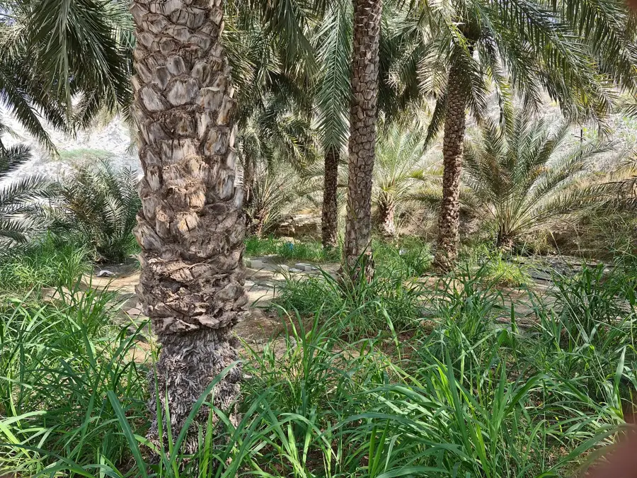
Nature
More places