Plizio Visual Lab
Ru'us al-Jibal
Weather…
Water temperature…
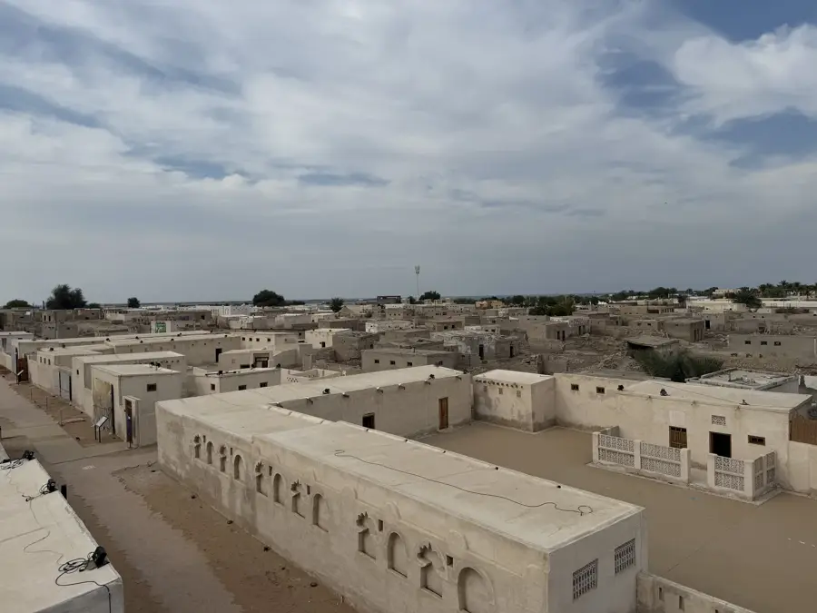
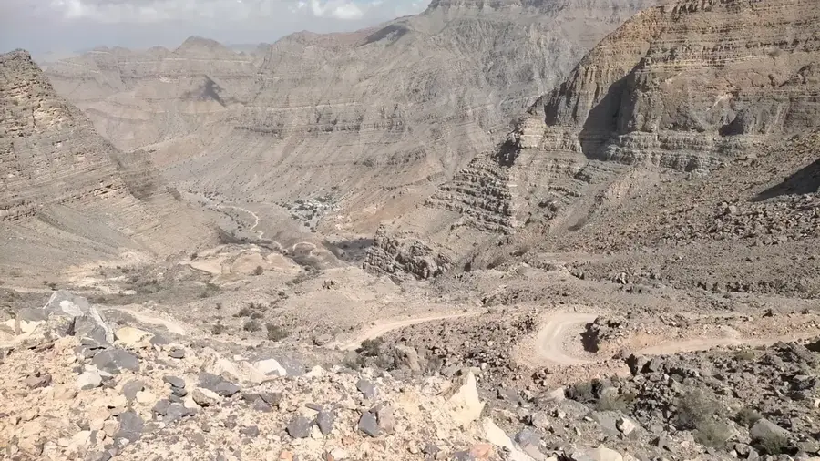
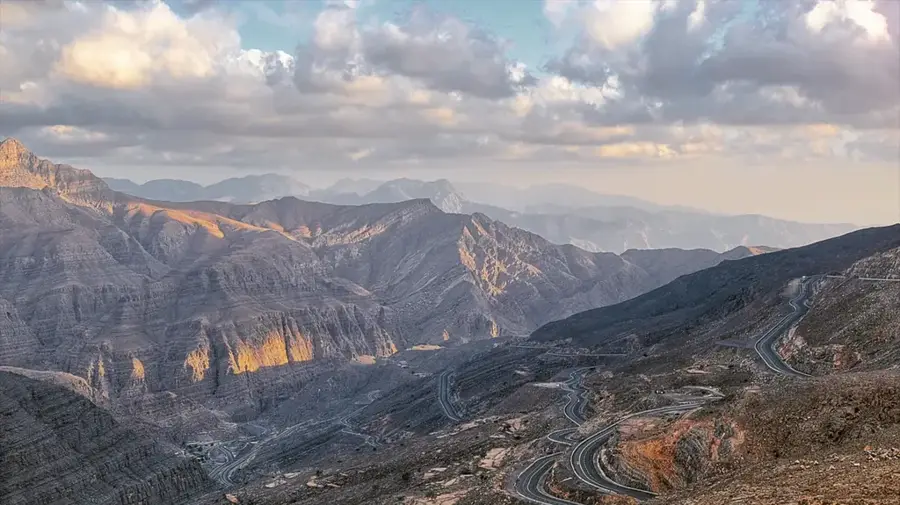
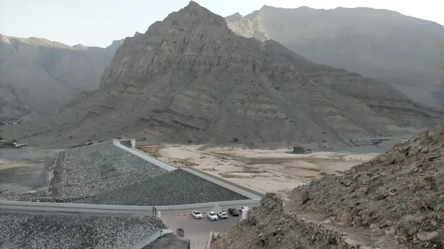
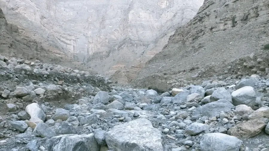
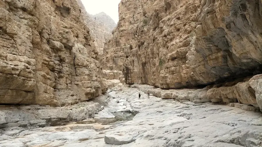
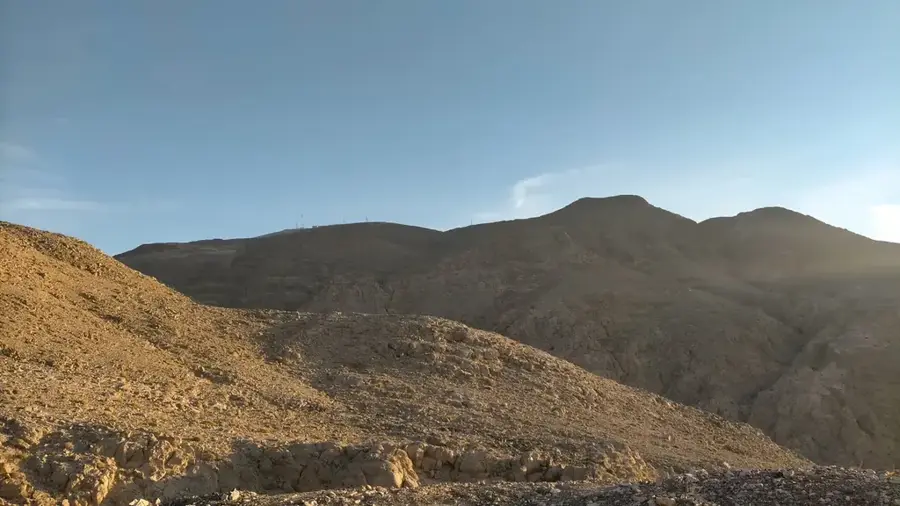
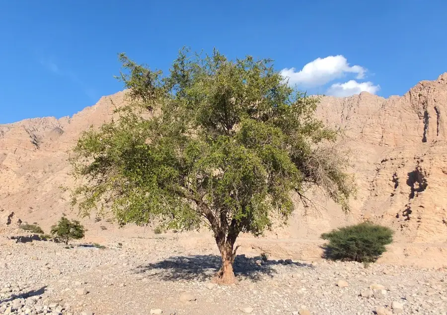
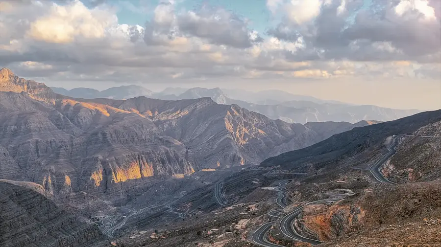
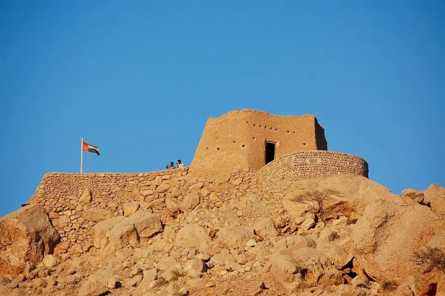
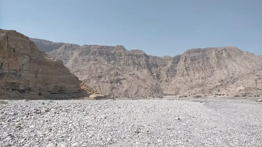
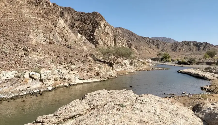
Ru'us al-Jibal, which translates to 'Heads of the Mountains,' forms the northernmost section of the Hajar Mountains, spanning the Musandam Peninsula and the Ras Al Khaimah emirate. This region is geologically unique, consisting of massive limestone layers deposited during the Mesozoic era, which now form rugged, barren peaks that rise almost vertically from the sea. The highest point in the region is Jebel Jais, the tallest mountain in the United Arab Emirates. The landscape is characterized by deep canyons and high plateaus where the Shihuh tribe has lived for centuries. These mountain dwellers developed a unique architecture of flat-roofed stone houses perfectly adapted to extreme weather conditions. Despite its desolate appearance, Ru'us al-Jibal supports remarkable biodiversity, including rare wild cats and various birds of prey. In recent years, infrastructure development, particularly the winding mountain road to Jebel Jais, has opened the region to tourism. Today, it features spectacular opportunities for rock climbing, hiking, and ziplining, with views extending as far as the Persian Gulf and the Gulf of Oman.
- Location: United Arab Emirates
- Top sights: Wadi Al Far Hike Pass · Wadi Al Far Hike Plateau · Jabal Ar Ra'alah
- Nearby: Jebel Jais (9 km)
Best time to visit & climate
The most pleasant time to visit is Jan, Feb, Dec.
| Jan | Feb | Mar | Apr | May | Jun | Jul | Aug | Sep | Oct | Nov | Dec | |
|---|---|---|---|---|---|---|---|---|---|---|---|---|
| Avg °C | 20 | 21 | 23 | 27 | 31 | 34 | 34 | 33 | 32 | 30 | 26 | 22 |
| Rain mm | 34 | 12 | 20 | 7 | 1 | 4 | 2 | 1 | 1 | 3 | 9 | 17 |
📋 Practical info
Geography
Facts
- Jebel Jais reaches an elevation of 1,934 meters above sea level.
- The Ru'us al-Jibal mountains are primarily composed of shelly limestone and dolomite.
- Snow occasionally falls on the highest peaks of Ru'us al-Jibal during winter.
- The region hosts the world's longest zipline, located on Jebel Jais.
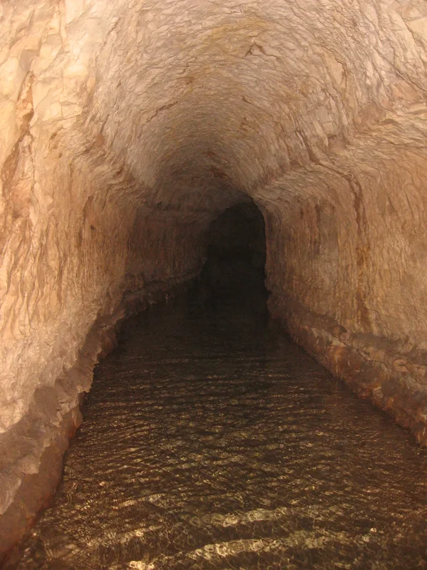
- The Shihuh tribes historically used stone lock-houses (Bait Al Quffl) for storage.
- The geological strata of these mountains are over 200 million years old.
Explore nearby
Notable places around
Route planner — Car & Motorhome
Where do you start? We build the route here, with stops and country notes along the way.
© OpenStreetMap contributors · OpenRouteService
Sights in the town Ru'us al-Jibal (4)
Sights nearby
Frequently asked questions
What is Ru'us al Jibal?
Is it suitable for beginners?
Do you need a permit?
How is the infrastructure?
What is the best season?
Ru'us al-Jibal: where is it located?
Ru'us al-Jibal: what is there to see?
Ru'us al-Jibal: when is the best time to visit?
Ru'us al-Jibal: why is it worth visiting?

Nearby cities
History & landmarks
Nature
More places