Plizio Visual Lab
Kitgum
ℹ️Practical info — Kitgum
▾
🌤 Weather — 5 days
📍 Nearby
Sights nearby
💡 Tips
- Carry plenty of drinking water and wear sun protection, as the climate here is typically hot and dry.
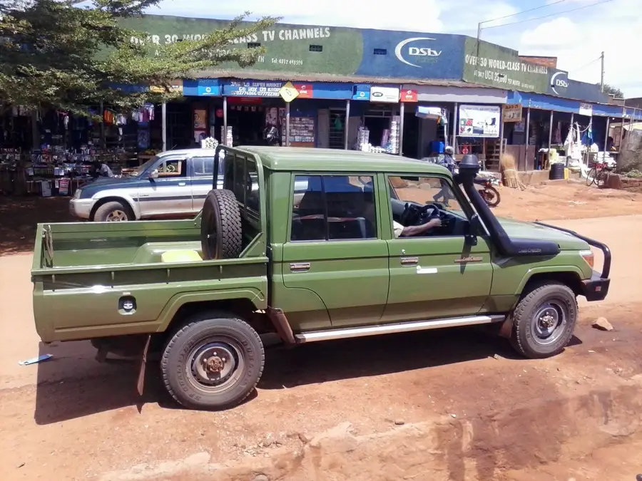
- Boda-bodas (motorcycle taxis) are the easiest way to get around town, but negotiate the price clearly before setting off.
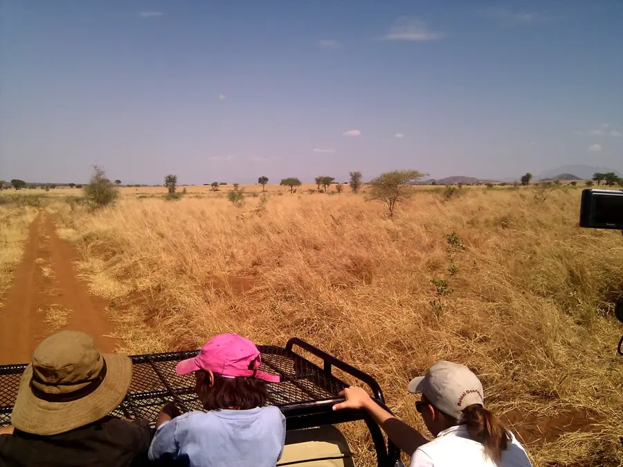
- The town serves as an excellent gateway for organizing safaris to the remote and impressive Kidepo Valley National Park.
- Cash is king here; ensure you have enough Ugandan Shillings as ATMs can occasionally run out of cash or be offline.
- Learning a few basic greetings in Luo will greatly endear you to the friendly local residents.
🍽 Food
A traditional dish where meat or vegetables are steamed to perfection wrapped in banana leaves. Look for it in local restaurants.
A popular Ugandan street food consisting of a chapati rolled around an omelette and vegetables.
Fresh fish sourced from regional waters, often served fried or grilled at local diners.
🛍 Shopping · 🧘 Quiet spots
Dive into the spirited local culture while shopping for fresh produce, spices, and everyday necessities.
Check out small tailors and textile shops in the town center for brightly patterned East African fabrics.
The compounds of the main town churches often provide a serene escape from the busy streets.
Take a walk towards the edges of the city in the late afternoon for peaceful views of the surrounding flat landscapes and hills.
Water temperature…
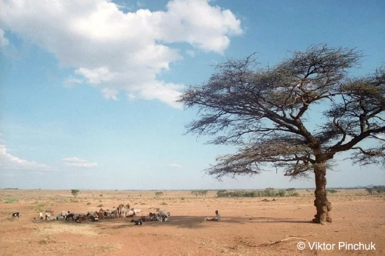
Kitgum is a major municipality in Northern Uganda, located approximately 435 kilometers by road from Kampala and serving as a crucial administrative and commercial center for the Acholi people. The town gained international prominence during the late 20th and early 21st centuries when it was at the center of humanitarian efforts during the protracted conflict involving the Lord's Resistance Army. Historically, Kitgum has always been a key northern outpost, situated near the Pager River, which provides a vital water source in an otherwise semi-arid savannah landscape. Since the restoration of peace in 2006, the municipality has undergone a remarkable transformation, shifting from a hub for displaced persons to a thriving trade center for goods moving to and from South Sudan. Geographically, it sits at an elevation of about 930 meters and experiences a tropical climate with a distinct dry season. Modern Kitgum is also known as a gateway to the Kidepo Valley National Park.
- Location: Uganda
- Nearby: Pader (45 km)
- Population: ~56.891 (2018)
Best time to visit & climate
The most pleasant time to visit is Jan, Nov, Dec.
| Jan | Feb | Mar | Apr | May | Jun | Jul | Aug | Sep | Oct | Nov | Dec | |
|---|---|---|---|---|---|---|---|---|---|---|---|---|
| Avg °C | 26 | 28 | 28 | 26 | 25 | 24 | 23 | 24 | 25 | 25 | 24 | 25 |
| Rain mm | 10 | 11 | 43 | 99 | 133 | 102 | 109 | 122 | 115 | 136 | 63 | 42 |
Geography
Facts
- Located approximately 435 kilometers north of Kampala in the Acholi region.
- Heavily affected by the LRA conflict between 1986 and 2006.
- Situated along the Pager River at an elevation of about 930 meters.
- Serves as a major transit point for trade with the Republic of South Sudan.
- Regional hub for the production of sesame, cotton, and sunflower seeds.
- Serves as a primary gateway for tourists visiting Kidepo Valley National Park.
Explore nearby
Notable places around
Route planner — Car & Motorhome
Where do you start? We build the route here, with stops and country notes along the way.
© OpenStreetMap contributors · OpenRouteService
Sights in the town Kitgum (1)
Frequently asked questions
What is Kitgum?
How many days should I plan?
When is the best time to travel?
Are there any sights?
How to get there?
Kitgum: where is it located?
Kitgum: when is the best time to visit?
Kitgum: why is it worth visiting?

Nearby cities

History & landmarks
Nature

More places