Plizio Visual Lab
North Tunisian Highlands

Weather…
Water temperature…
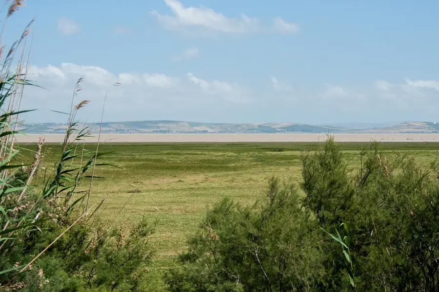
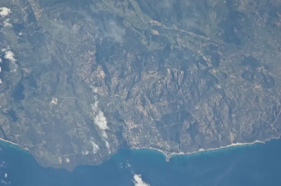
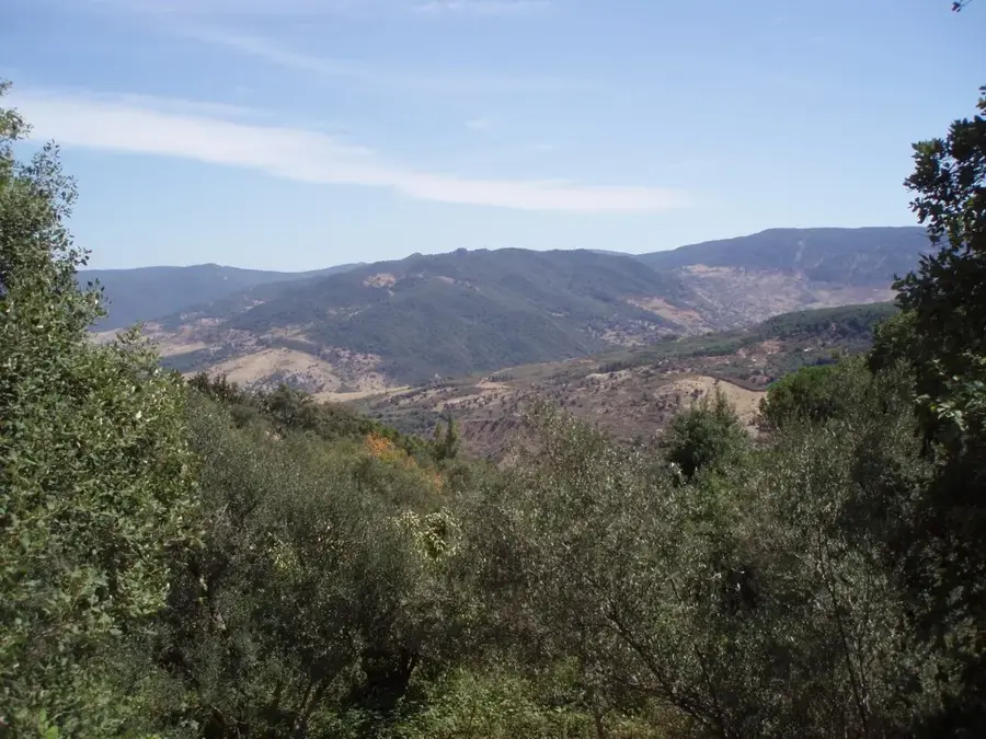
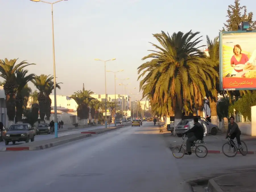
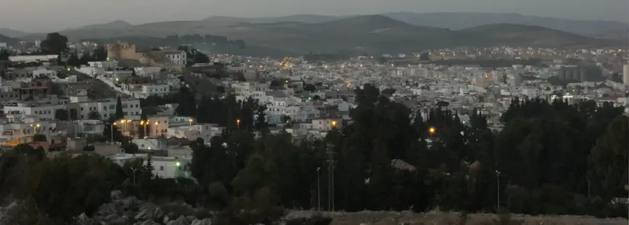
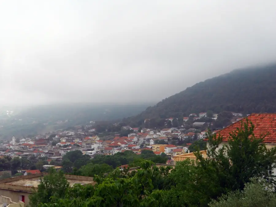
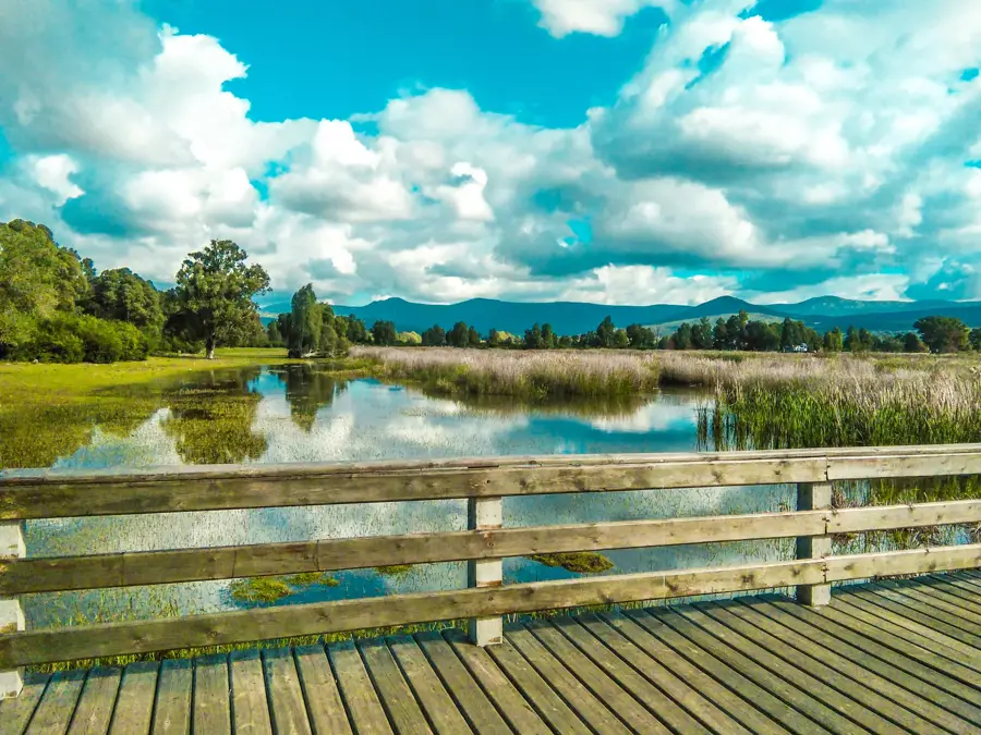
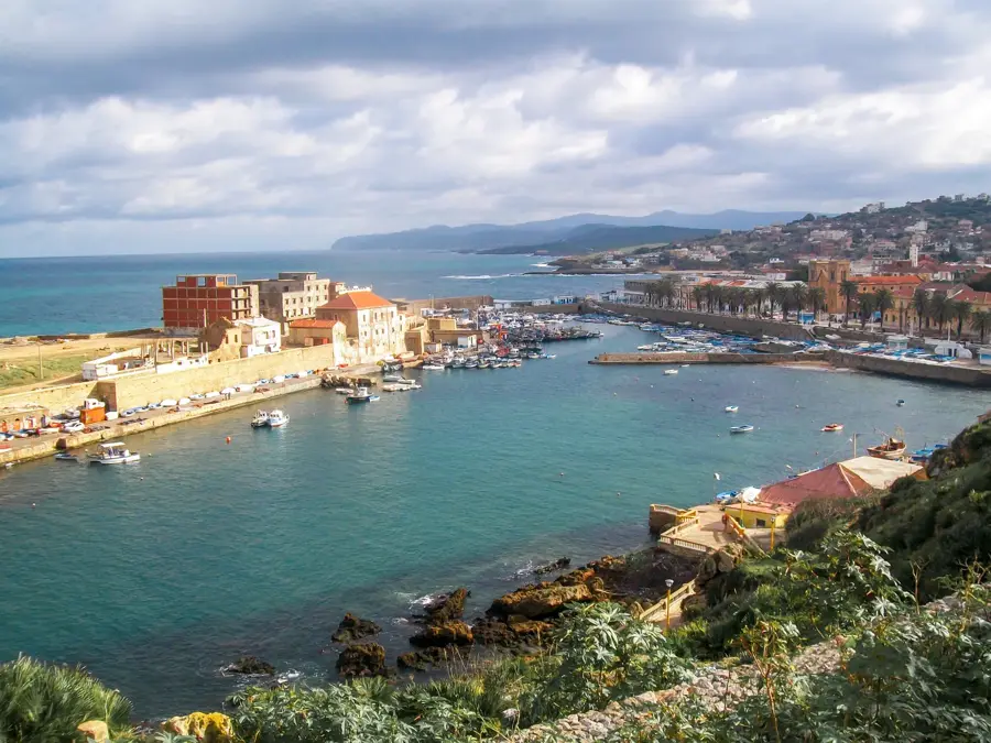
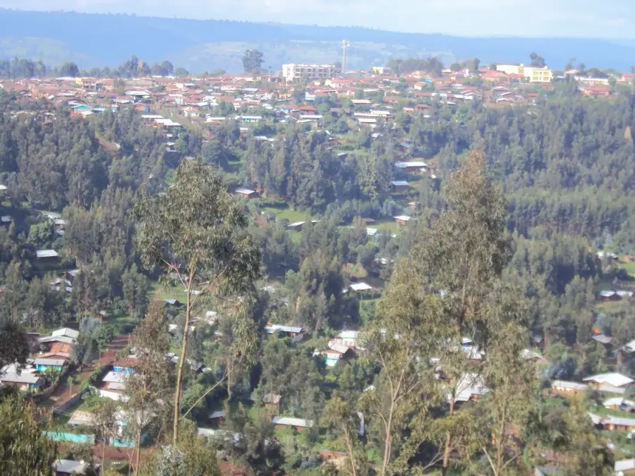
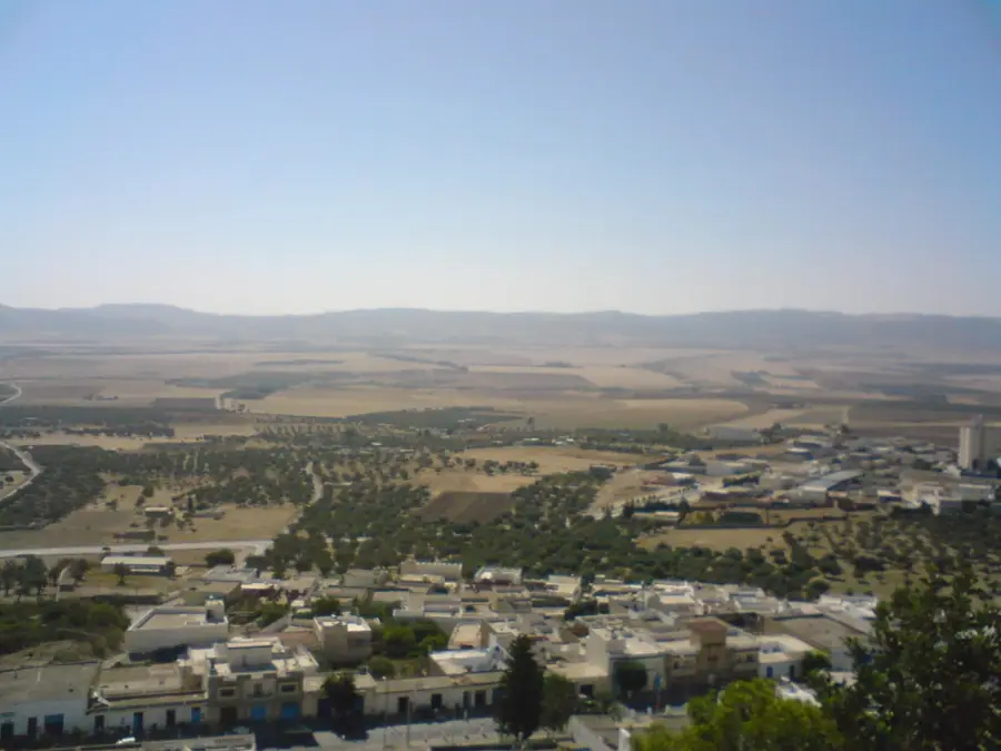
The North Tunisian Highlands, comprising the Kroumirie and Mogod mountain ranges, represent the most humid region of the country. This mountain chain is the eastern extension of the Tell Atlas and is characterized by dense forests of cork oak and Zen oak. With annual rainfall exceeding 1,000 mm, the landscape is unusually lush and green for North African standards. Geologically, the area is dominated by Oligocene and Miocene sandstones, which create the acidic soils well-suited for cork production. The region hosts unique fauna, including the rare Barbary stag, which finds one of its last natural sanctuaries here. Along the rugged coastline of Tabarka and Bizerte, the mountains drop steeply into the Mediterranean Sea. Forestry and cork harvesting have been vital economic pillars for the local population since the 19th century.
- Location: Tunisia
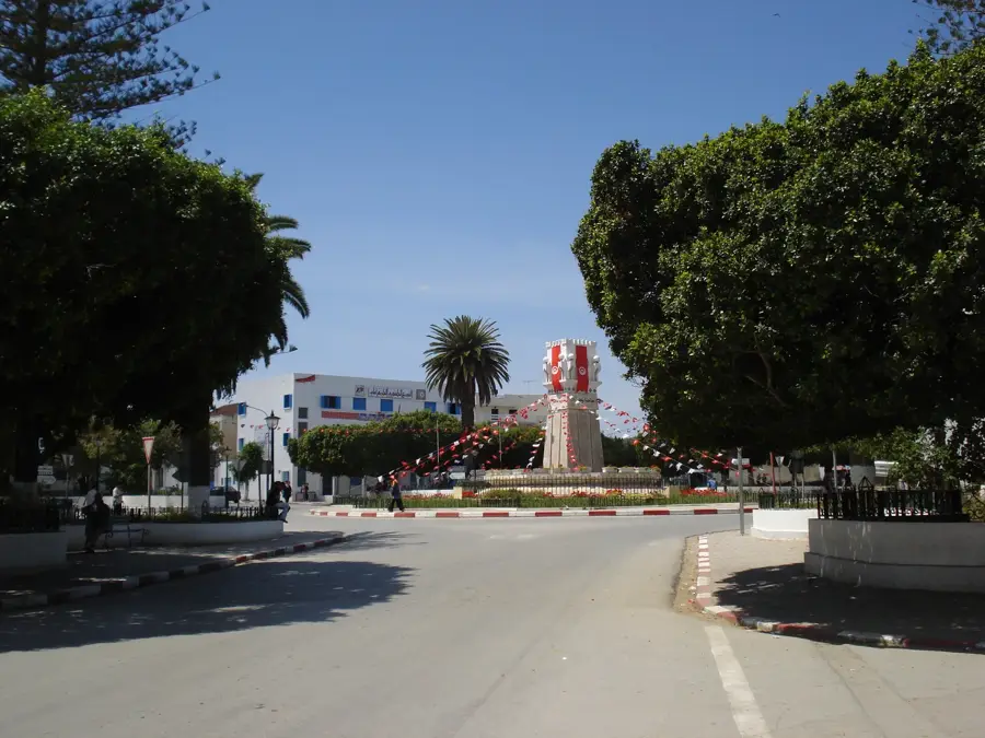
- Nearby: Tabarka (23 km)
Best time to visit & climate
The most pleasant time to visit is May, Jun, Oct.
| Jan | Feb | Mar | Apr | May | Jun | Jul | Aug | Sep | Oct | Nov | Dec | |
|---|---|---|---|---|---|---|---|---|---|---|---|---|
| Avg °C | 12 | 11 | 13 | 15 | 19 | 23 | 26 | 26 | 24 | 21 | 16 | 13 |
| Rain mm | 109 | 90 | 82 | 65 | 41 | 15 | 5 | 21 | 56 | 69 | 96 | 111 |
📋 Practical info
Geography
Facts
- Annual rainfall in the Kroumirie region often exceeds 1,000 mm.
- The region contains the largest cork oak forests in North Africa.
- The Barbary stag (Cervus elaphus barbarus) is an endemic protected species here.
- The region's highest peak is Djebel Bir, reaching 1,014 meters near Ain Draham.
- Geologically, the highlands are primarily composed of Numidian sandstone.
- Tunisia ranks among the world's top cork producers, along with Algeria and Morocco.
Explore nearby
Notable places around
Route planner — Car & Motorhome
Where do you start? We build the route here, with stops and country notes along the way.
© OpenStreetMap contributors · OpenRouteService
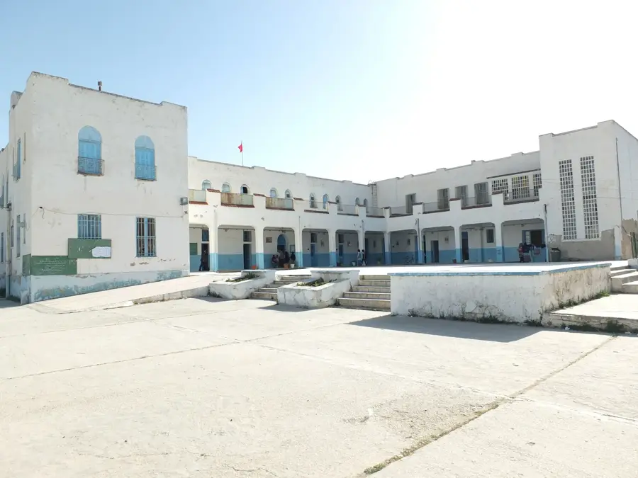
Sights in the town North Tunisian Highlands (1)
Sights nearby
Frequently asked questions
What does the North Tunisian mountain range offer?
Is the area attractive in winter too?
Are there local villages there?
Are the paths well signposted?
Is the region suitable for nature observation?
North Tunisian Highlands: where is it located?
North Tunisian Highlands: when is the best time to visit?
North Tunisian Highlands: why is it worth visiting?

Nearby cities
History & landmarks
Nature

More places