Plizio Visual Lab
Babati
ℹ️Practical info — Babati
▾
🌤 Weather — 5 days
📍 Nearby
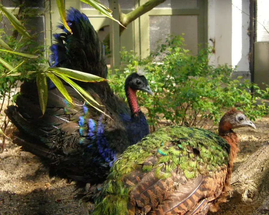
Sights nearby
💡 Tips
- Watch the hippos at Lake Babati early in the morning when they are most active.
- Hike Mount Kwaraa for spectacular panoramic views over the Rift Valley.
- Babati is a key transport hub; use the town for a refreshing break between Arusha and Dodoma.
- Buy fresh local fruits at the central market located near the bus station.
- Ask locals about guided canoe trips on the lake for an authentic perspective of the area.
🍽 Food
Try this freshly caught fish grilled at the small local eateries right along the lake shore.
This staple dish is often served here with exceptionally fresh vegetables from the Rift Valley.
In this agricultural region, fresh cow's milk is widely available and very popular.
🛍 Shopping · 🧘 Quiet spots
The go-to spot for fresh produce, spices, and colorful local fabrics known as vitenge.
Look for stalls along the main road offering seasonal fruits like juicy mangoes.
Find a quiet spot away from the boat landings for a relaxing view of the water.
The lower paths of the mountain offer peaceful walking trails through natural surroundings.
Water temperature…
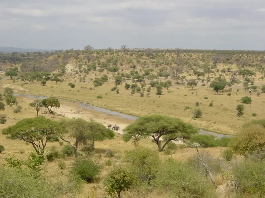
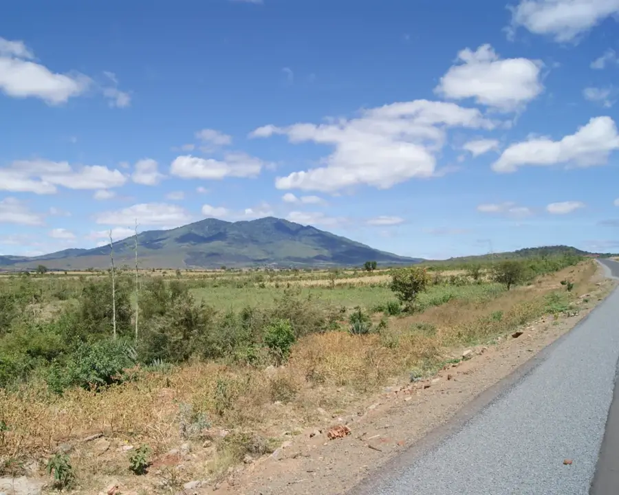
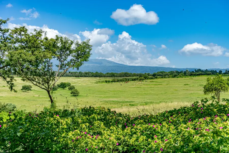
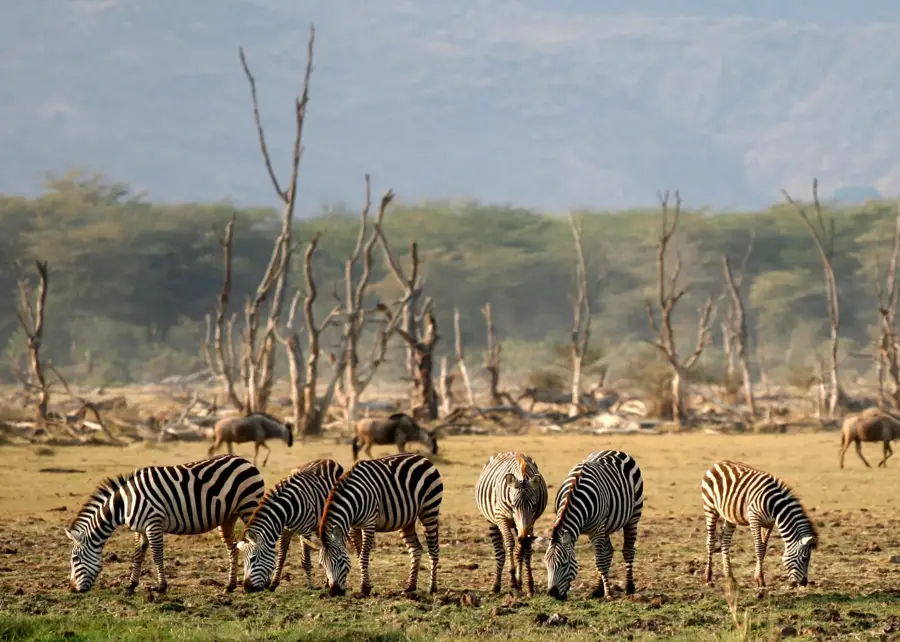
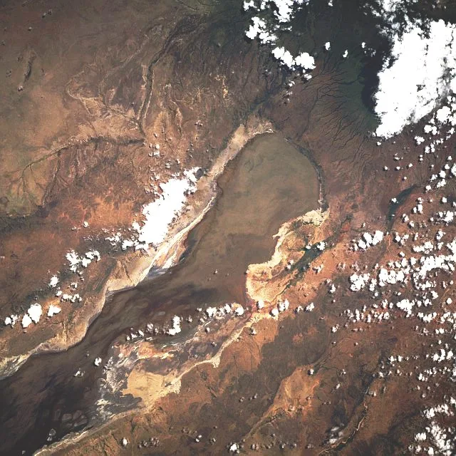
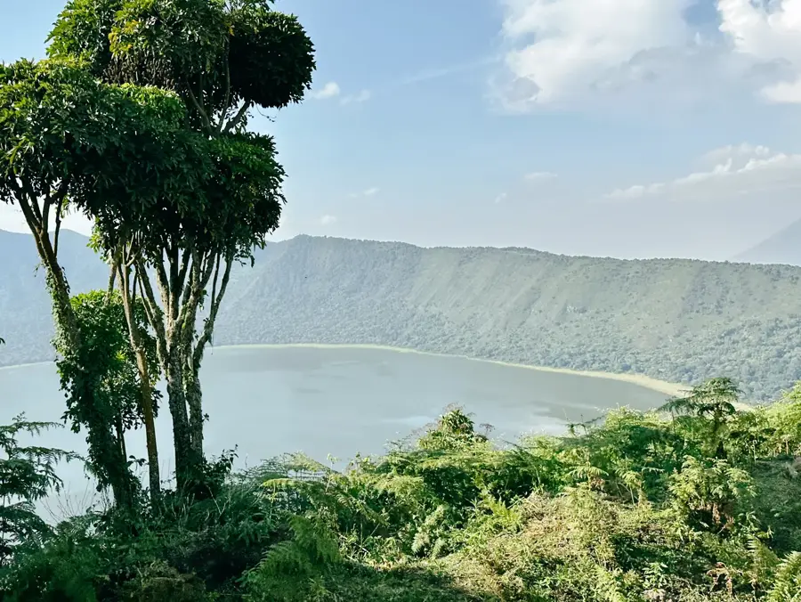
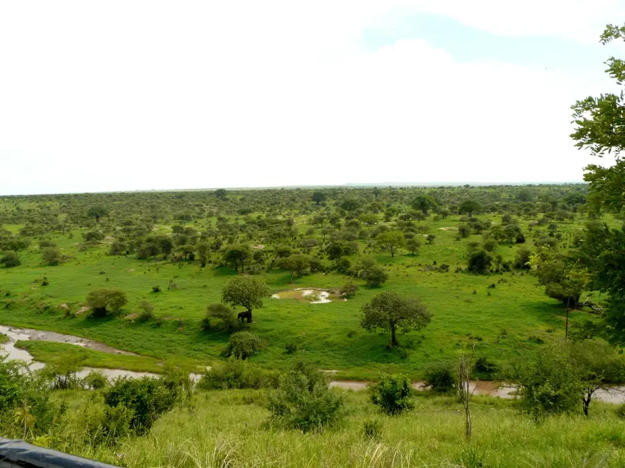
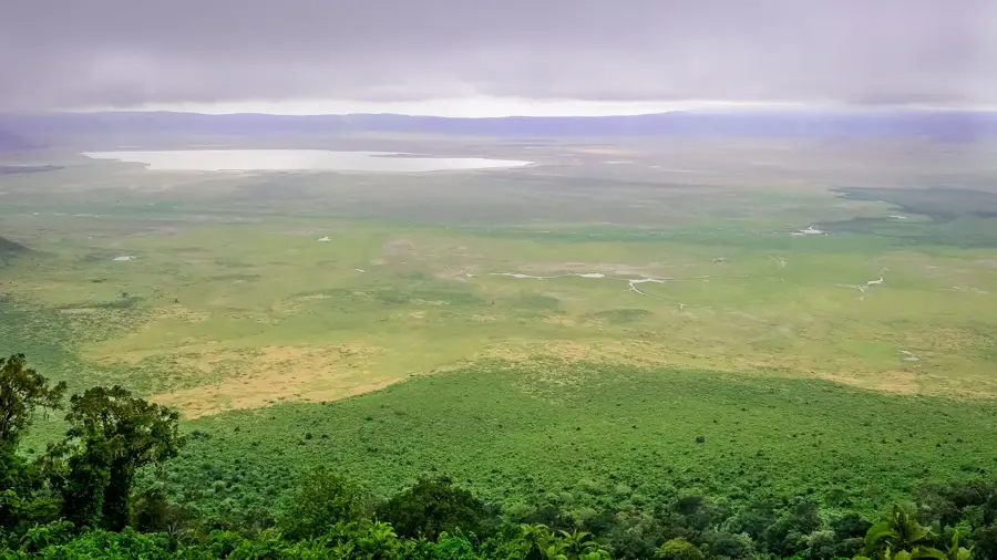
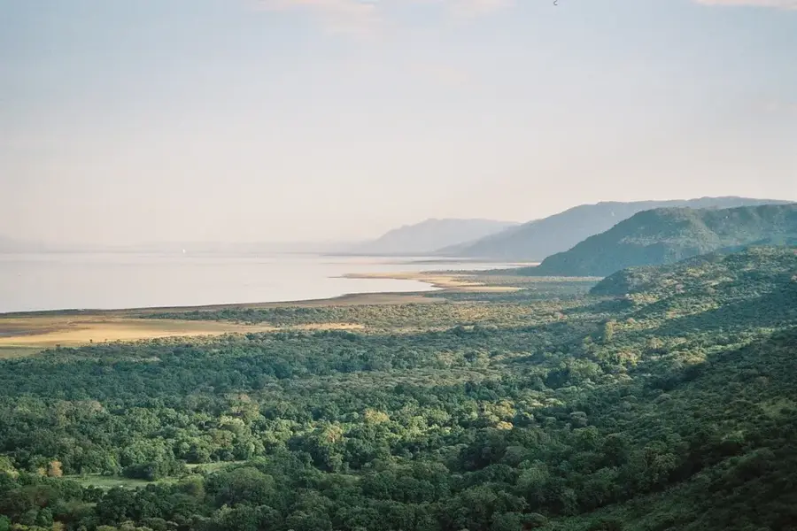
Babati is the administrative capital of the Manyara Region in northern Tanzania, beautifully situated on the shores of Lake Babati. The town has experienced rapid growth since its designation as a regional headquarters in 2002, serving as a vital crossroads connecting Arusha, Dodoma, and Singida. Geographically, the area is defined by the Great Rift Valley and the surrounding mountains, providing the town with a striking scenic backdrop. Lake Babati is renowned for its large hippopotamus population and supports local fishing as well as emerging ecotourism activities. The economy of the town is primarily driven by agriculture, focusing on the production of maize, beans, sunflowers, and pulses. Babati is a melting pot of various ethnic groups, including the Gorowa, Iraqw, and Mbugwe, resulting in a rich cultural tapestry. The paving of major highways has significantly improved accessibility, boosting trade with neighboring regions. The town also serves as a convenient gateway for visitors traveling to the nearby Tarangire and Lake Manyara National Parks.
- Location: Tanzania
- Top sights: Sehemu ya mapumziko ya kiboko(hippos rest place) · Singida road · Royal Beach
- Nearby: Mbulu (41 km)
- Population: ~67.445 (2026)
Best time to visit & climate
The most pleasant time to visit is Jun–Aug.
| Jan | Feb | Mar | Apr | May | Jun | Jul | Aug | Sep | Oct | Nov | Dec | |
|---|---|---|---|---|---|---|---|---|---|---|---|---|
| Avg °C | 23 | 23 | 23 | 22 | 21 | 20 | 20 | 21 | 22 | 23 | 23 | 23 |
| Rain mm | 104 | 70 | 104 | 116 | 52 | 7 | 2 | 6 | 9 | 38 | 93 | 98 |
Geography
Facts
- Babati became the administrative capital of the Manyara Region in 2002.
- Lake Babati is home to a significant population of hippos.
- The town is located at the crossroads of routes to Arusha and Dodoma.
- As of the 2022 census, Babati Town Council had a population of 129,571.
- Mount Hanang, Tanzania's fourth-highest mountain, is located nearby.
- Agriculture, especially sunflower farming, is the primary economic activity.
Explore nearby
Notable places around
Route planner — Car & Motorhome
Where do you start? We build the route here, with stops and country notes along the way.
© OpenStreetMap contributors · OpenRouteService
Sights in the town Babati (3)
Frequently asked questions
How much time to plan for Babati?
Best travel time?
How can I reach Babati?
Local dishes?
Family-friendly?
Babati: where is it located?
Babati: what is there to see?
Babati: when is the best time to visit?
Babati: why is it worth visiting?

Nearby cities


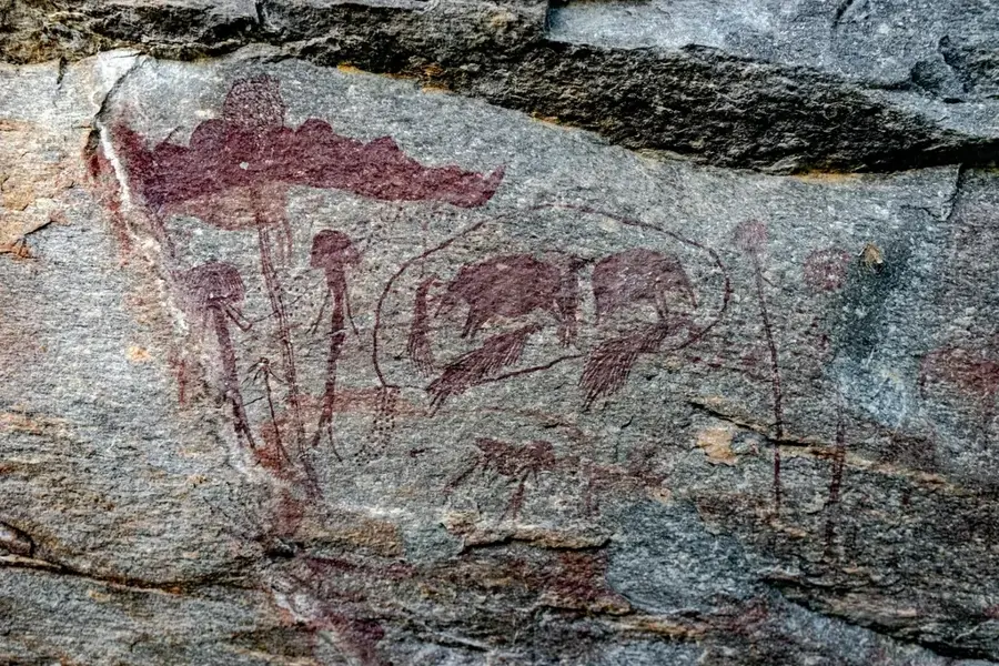
History & landmarks
Nature
More places