Plizio Visual Lab
Katavi Forest Habitat
Weather…
Water temperature…
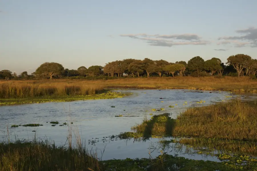
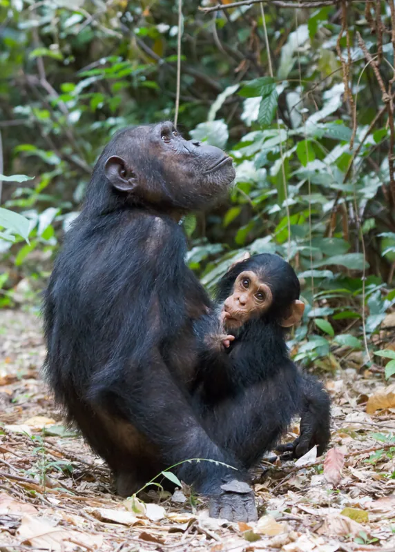
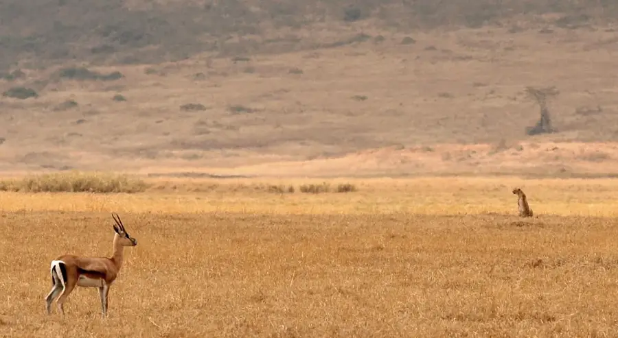
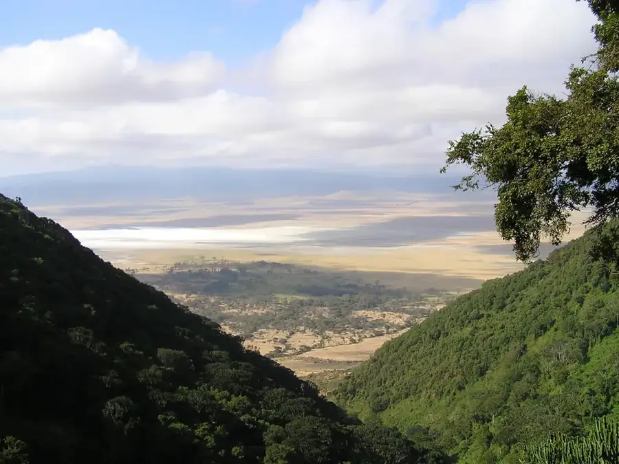
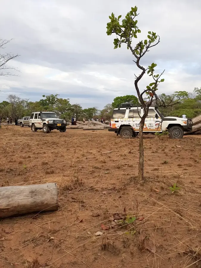
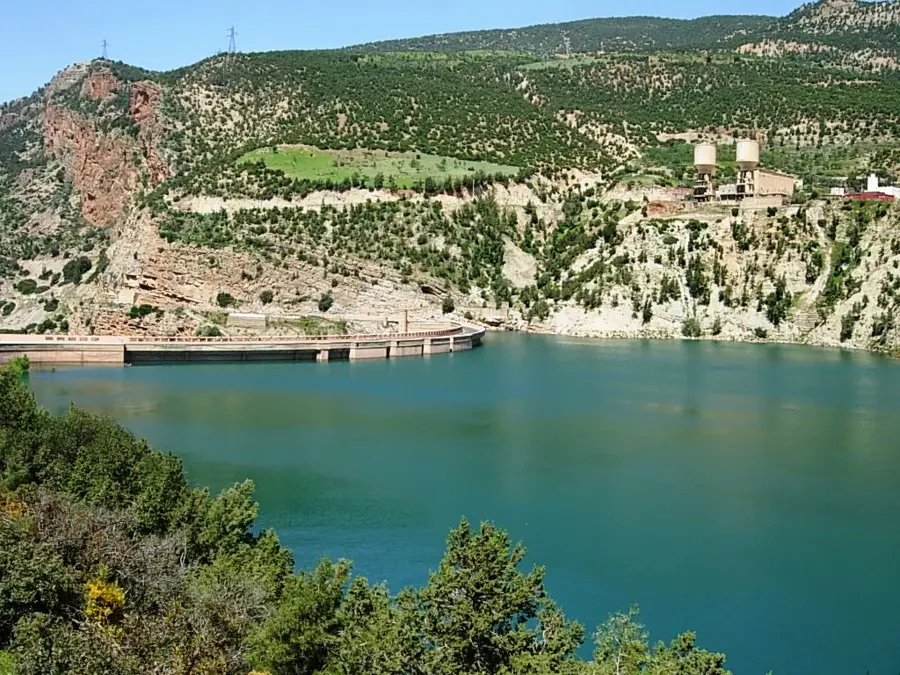
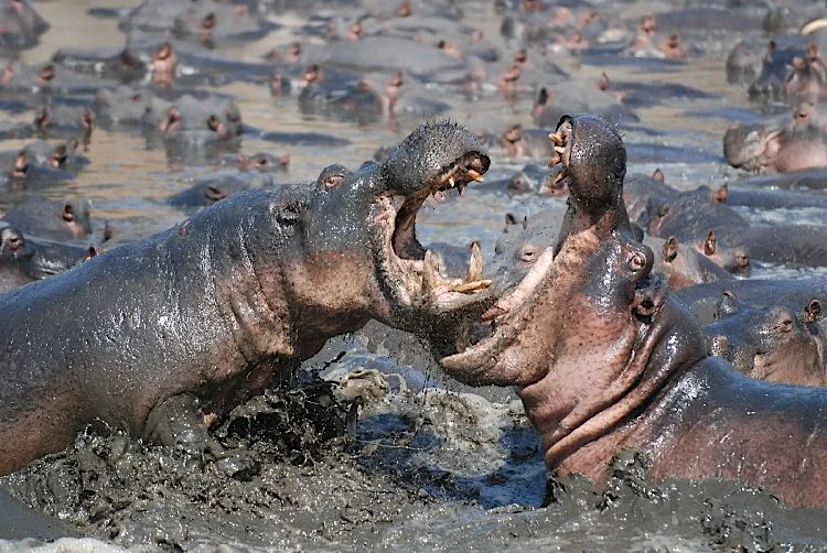
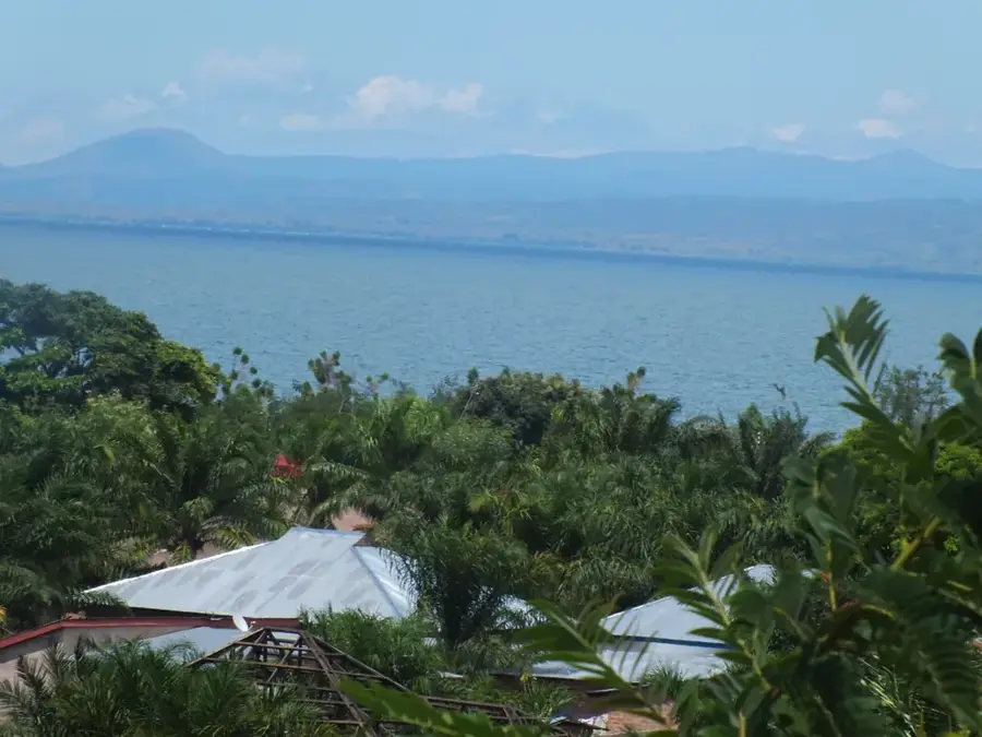
The Katavi forest and marshland in far western Tanzania represent one of the country's most pristine and wildlife-rich ecosystems. Shaped by the seasonal flooding of the Katuma River and lakes Katavi and Chada, the landscape features a blend of dense Miombo woodlands and expansive acacia savannas. During the dry season, enormous concentrations of hippopotami and crocodiles retreat into the remaining water pools, creating spectacular natural displays unique to this region. The area is part of Katavi National Park, Tanzania's third-largest national park, which remains largely unvisited due to its remote geographical position. Historically, the area is deeply connected to the legend of the hunter 'Katabi,' whose spirit is said to dwell in a cluster of tamarind trees on the edge of the Katavi plains. The flora is dominated by Brachystegia species that form a dense canopy providing sanctuary for various primates and bird species. Surrounding human settlements live in a cautious coexistence with the wilderness, engaged primarily in subsistence farming. Protecting this biological corridor is vital for genetic exchange between wildlife populations across East and Central Africa.
- Location: Tanzania
- Nearby: Mpanda (65 km)
Best time to visit & climate
The most pleasant time to visit is May–Jul.
| Jan | Feb | Mar | Apr | May | Jun | Jul | Aug | Sep | Oct | Nov | Dec | |
|---|---|---|---|---|---|---|---|---|---|---|---|---|
| Avg °C | 22 | 23 | 23 | 23 | 23 | 22 | 22 | 24 | 26 | 27 | 26 | 23 |
| Rain mm | 183 | 141 | 158 | 103 | 17 | 1 | 1 | 1 | 4 | 32 | 152 | 220 |
📋 Practical info
Geography
Facts
- Katavi is Tanzania's third-largest national park, covering 4471 km².
- The park is famous for hosting Africa's highest density of hippos.
- The region experiences heavy rainfall during the wet season from November to April.
- The Katuma River is the primary water lifeline for the entire ecosystem.
- Over 400 different bird species have been recorded in Katavi.
- The park is situated along the eastern arm of the Great Rift Valley.
Explore nearby
Notable places around
Route planner — Car & Motorhome
Where do you start? We build the route here, with stops and country notes along the way.
© OpenStreetMap contributors · OpenRouteService
Sights nearby
Frequently asked questions
Is Katavi-Wald a national park?
What is the best season for a safari?
Is a guide needed in the forest?
What animals are commonly seen here?
Is it malaria-free?
Katavi Forest Habitat: where is it located?
Katavi Forest Habitat: when is the best time to visit?
Katavi Forest Habitat: why is it worth visiting?

Nearby cities
History & landmarks
Nature
More places