Plizio Visual Lab
Piz della Drausa South
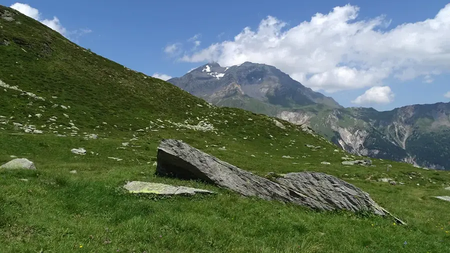
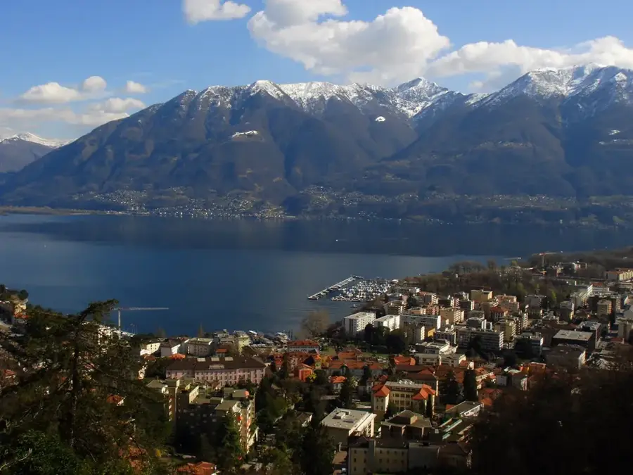
Piz della Drausa, also referred to as Piz da la Drosa in Romansh, is a significant peak in the Livigno Alps, straddling the border between Switzerland and Italy. Standing at 3172 meters above sea level, it forms a prominent boundary point between the Swiss canton of Graubünden and the Italian province of Sondrio. Geologically, the mountain is part of the crystalline units of the Austroalpine nappes, characterized by its solid rock formations. The region's history is defined by cross-border grazing and the early development of Alpine mountaineering. The summit has extensive views over both the Stelvio National Park and the Swiss National Park. Lower slopes are dominated by alpine meadows and scree fields, providing essential habitats for ibex and chamois. Mountaineers can reach the summit via several routes, with the approach from the Livigno Pass being a common choice for hikers.
- Location: Switzerland
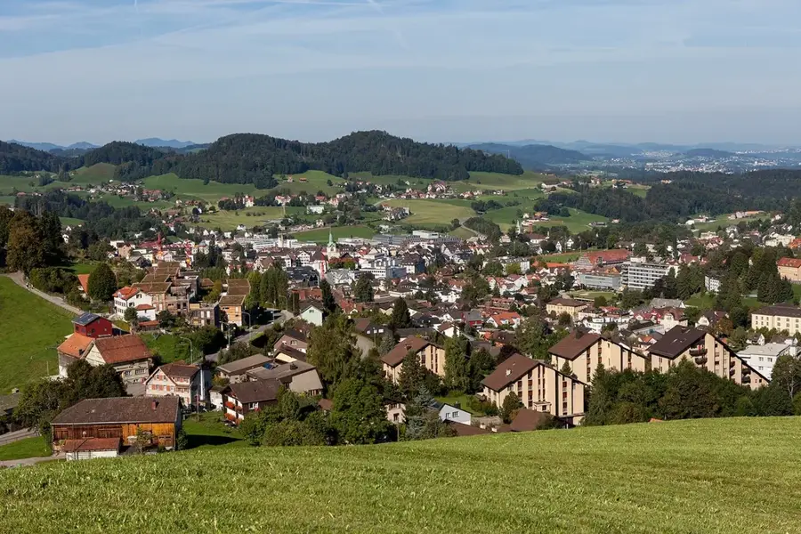
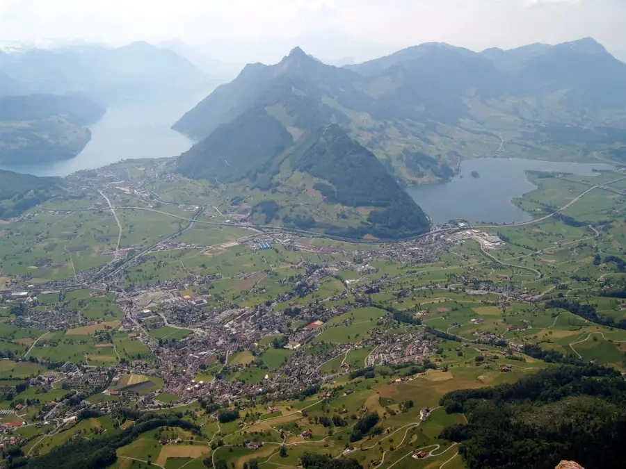
- Top sights: Pizzo del Sole · Pizzo di Campello · Le Pipe
- Nearby: Andermatt (19 km)
Best time to visit & climate
The most pleasant time to visit is Jun–Aug.
| Jan | Feb | Mar | Apr | May | Jun | Jul | Aug | Sep | Oct | Nov | Dec | |
|---|---|---|---|---|---|---|---|---|---|---|---|---|
| Avg °C | -8 | -8 | -4 | 1 | 6 | 11 | 12 | 12 | 8 | 4 | -2 | -7 |
| Rain mm | 74 | 66 | 87 | 111 | 162 | 163 | 156 | 181 | 120 | 122 | 133 | 89 |
📋 Practical info
Geography
Facts
- The primary summit of Piz della Drausa reaches an elevation of 3172 meters.
- It is situated on the watershed between the Danube (Inn) and Po (Adda) rivers.
- The first modern-era ascent was officially recorded in the late 19th century.
- The mountain consists primarily of metamorphic rocks such as gneiss and schist.
- Its topographic prominence is approximately 230 meters above the nearest col.
- Average temperatures at the summit often remain below freezing even during summer.
Explore nearby
Notable places around
Route planner — Car & Motorhome
Where do you start? We build the route here, with stops and country notes along the way.
© OpenStreetMap contributors · OpenRouteService
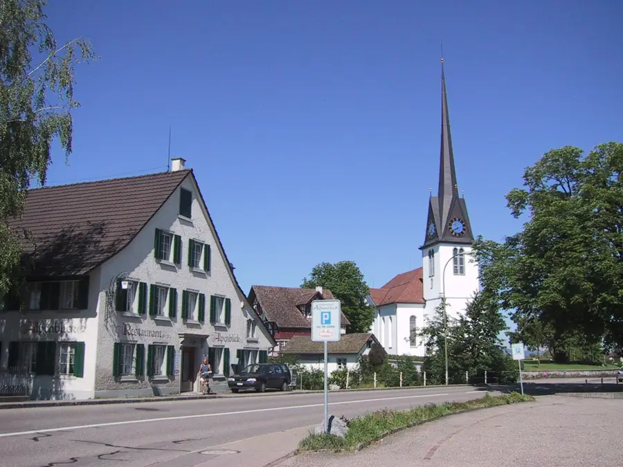
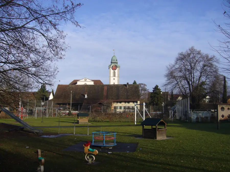
Sights in the town Piz della Drausa South (3)
Sights nearby
Frequently asked questions
Is Piz della Drausa South suitable for beginners?
How do you reach the starting point?
How long does the hike to the southern summit take?
Are there drinking water sources on the mountain?
Is the trail marked?
Piz della Drausa South: where is it located?
Piz della Drausa South: what is there to see?
Piz della Drausa South: when is the best time to visit?
Piz della Drausa South: why is it worth visiting?

Nearby cities