Plizio Visual Lab
Tiveden National Park
Weather…
Water temperature…
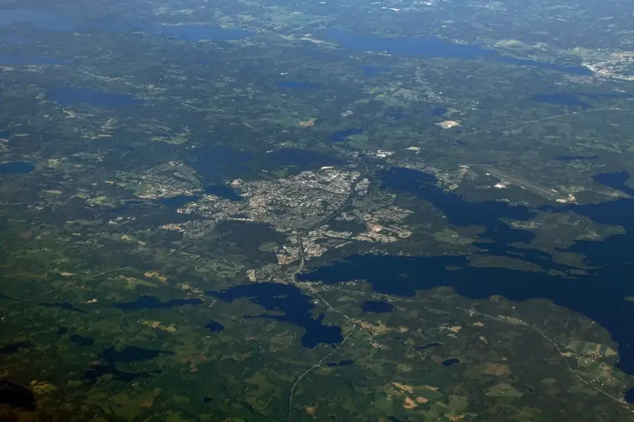
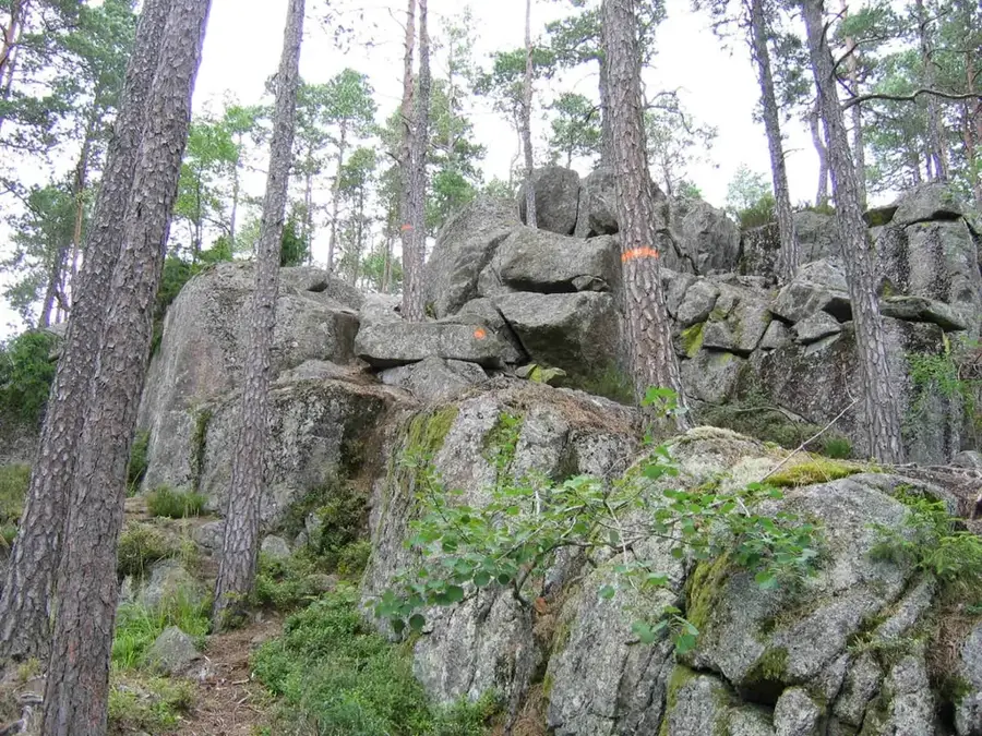
Tiveden National Park is situated in the hilly border region between Västergötland and Närke counties and was established in 1983. Spanning about 20 square kilometers, it protects one of southern Sweden's wildest and most inaccessible tracts of old-growth forest. The topography is exceptionally rugged, defined by massive granite boulders, deep rift valleys, and clear lakes such as Stora Trehörningen. This dramatic landscape was shaped by the erosive power of the continental ice sheet and subsequent post-glacial geological faults. Ancient pines, some up to 500 years old, grow directly out of the barren rock faces. Notable landmarks include the Trollkyrka (Troll's Church) rock formation and the narrow Vargklämman crevice. The park carries a mystical reputation and was historically a hideout for outlaws due to its dense and difficult terrain. Its flora is rich in rare mosses and lichens, while wildlife includes the osprey and the capercaillie. A well-developed system of marked trails guides visitors through the challenging terrain. In 2017, the park was significantly expanded to incorporate surrounding areas of high natural value.
- Location: Sweden
- Top sights: Vitsand · Stigmanspasset · Stenkälla
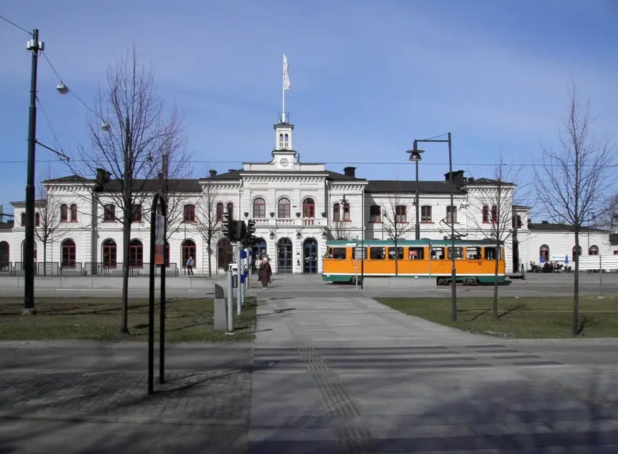
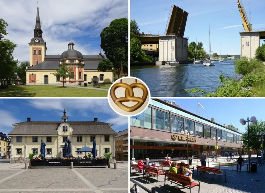
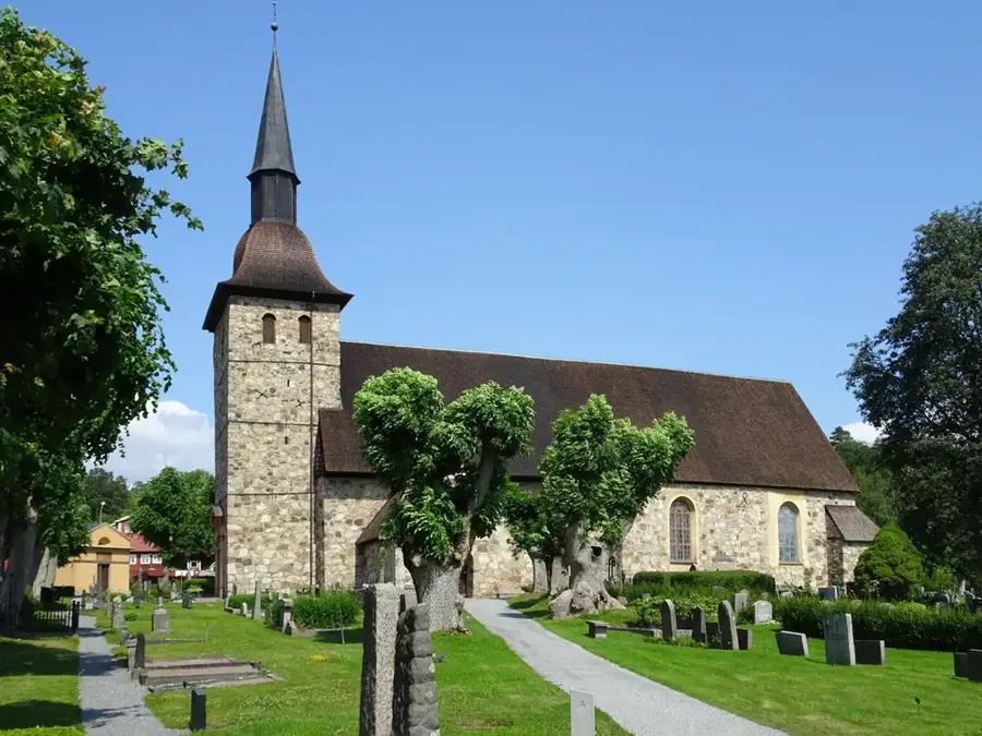
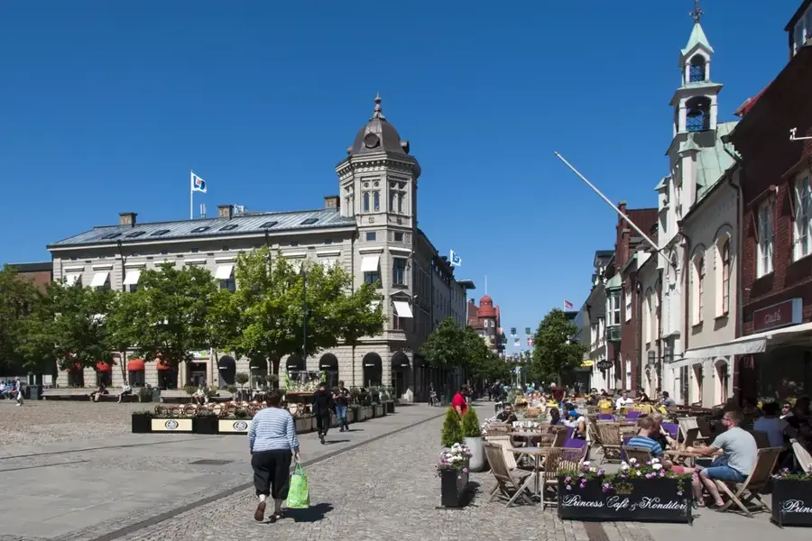
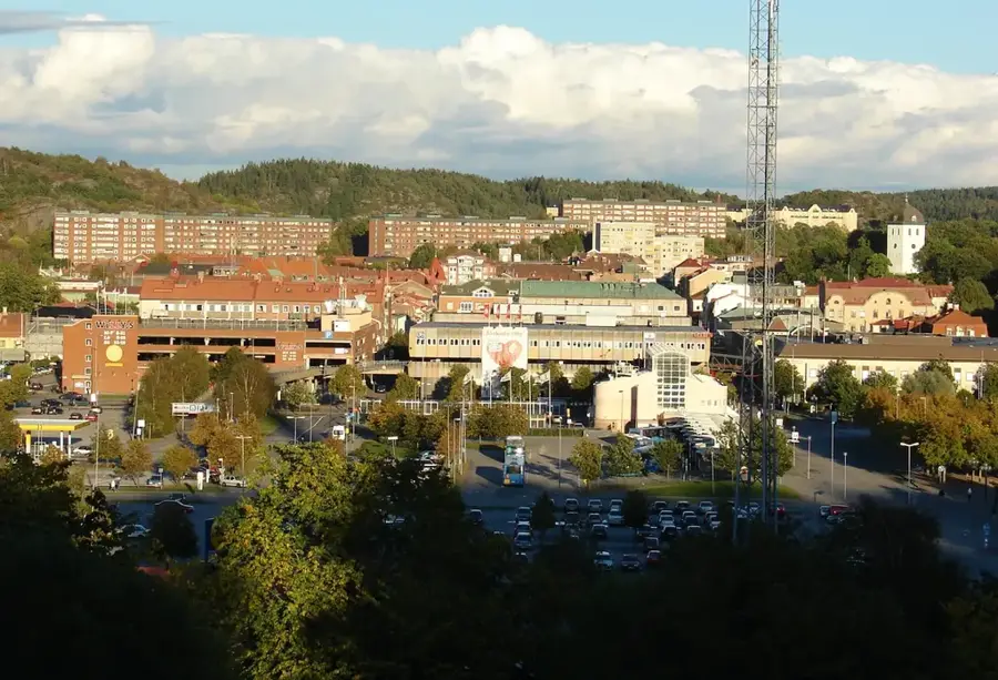
- Nearby: Askersund (26 km)
Best time to visit & climate
The most pleasant time to visit is Jun–Aug.
| Jan | Feb | Mar | Apr | May | Jun | Jul | Aug | Sep | Oct | Nov | Dec | |
|---|---|---|---|---|---|---|---|---|---|---|---|---|
| Avg °C | -4 | -3 | 0 | 6 | 11 | 15 | 18 | 17 | 13 | 7 | 2 | -2 |
| Rain mm | 53 | 44 | 41 | 43 | 76 | 98 | 107 | 94 | 64 | 75 | 65 | 57 |
📋 Practical info
Geography
Facts
- The national park was officially established in 1983.
- Covers approx. 20 km² following an expansion in 2017.
- Contains ancient pine trees up to 500 years old.
- Trollkyrka is a prominent rock formation in the park.
- Lake Stora Trehörningen is situated at the heart of the park.
- Vargklämman is a famous and very narrow rock crevice.
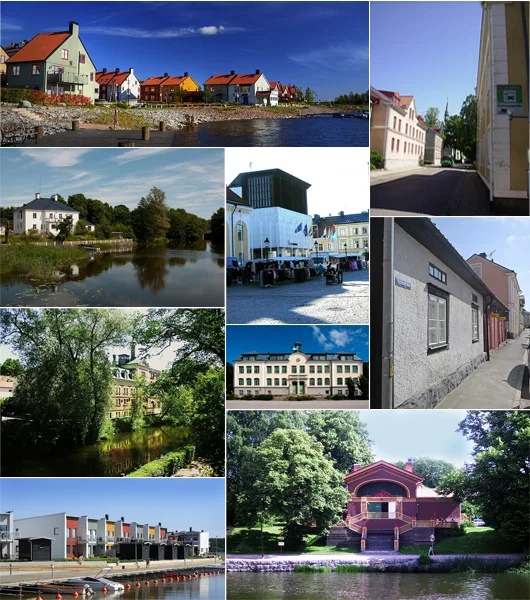
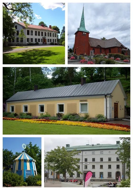
Explore nearby
Notable places around
Route planner — Car & Motorhome
Where do you start? We build the route here, with stops and country notes along the way.
© OpenStreetMap contributors · OpenRouteService
Sights in the town Tiveden National Park (4)
Sights nearby
Frequently asked questions
What is Tiveden known for?
Is there a lake for swimming?
How difficult are the hiking trails?
Are there guided hikes?
Where can I park in the park?
Tiveden National Park: where is it located?
Tiveden National Park: what is there to see?
Tiveden National Park: when is the best time to visit?
Tiveden National Park: why is it worth visiting?

Nearby cities