Plizio Visual Lab
Tiveden Heights
Weather…
Water temperature…
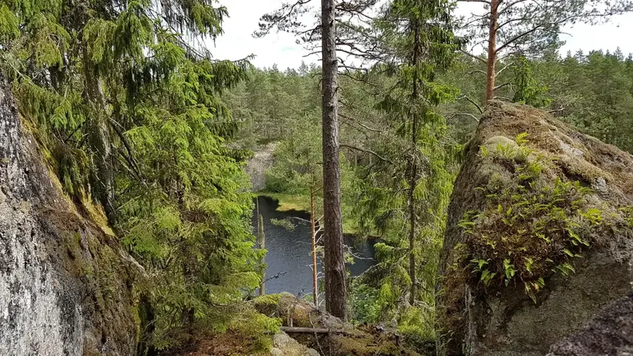
Tiveden Heights characterize the rugged and boulder-strewn landscape located on the border between the provinces of Västergötland and Närke. This area is part of a large forest region that was formed during the last ice age, which left behind massive granite boulders and deep fissure valleys. The terrain is notably difficult to traverse, which historically led to Tiveden being seen as a mystical and dangerous wilderness where outlaws often sought refuge. Today, much of this relief is protected within the Tiveden National Park, preserving its ancient forests and crystal-clear rift lakes like Stora Trehörningen. The heights reach up to 230 meters above sea level, providing a significant contrast to the surrounding agricultural plains. The unique geology of the area supports a variety of mosses, lichens, and old-growth pines that have survived for centuries.
- Location: Sweden
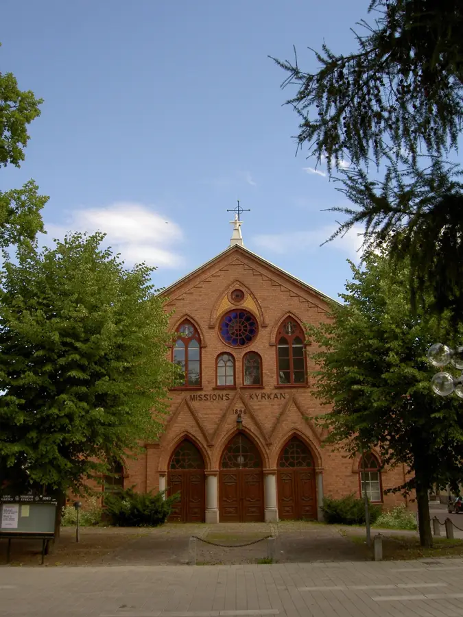
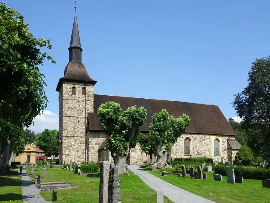
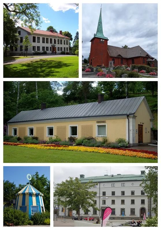
- Top sights: Mossabergets naturreservat · Dammtorps hembygdsgård · Junker Jägares sten
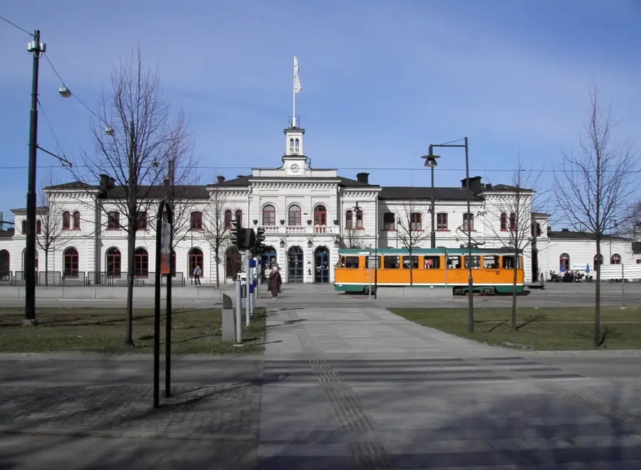
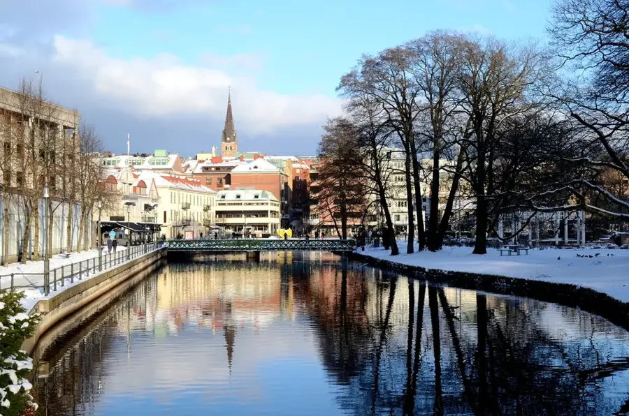
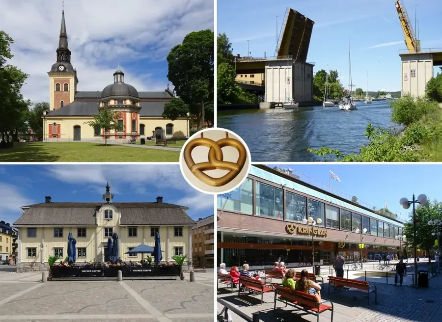
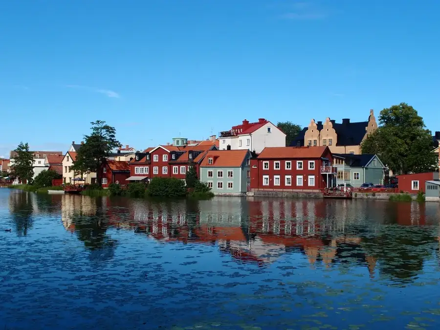
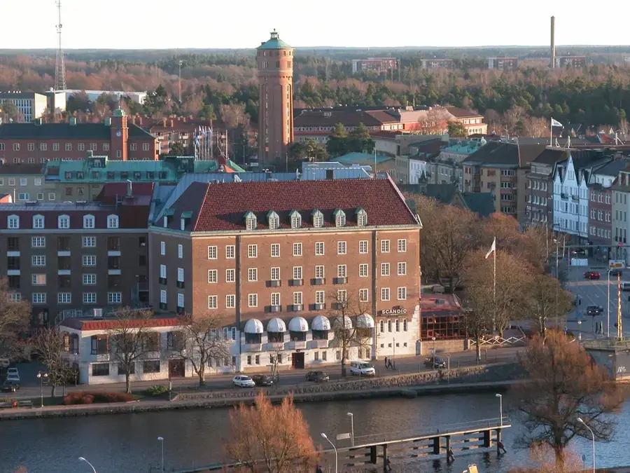
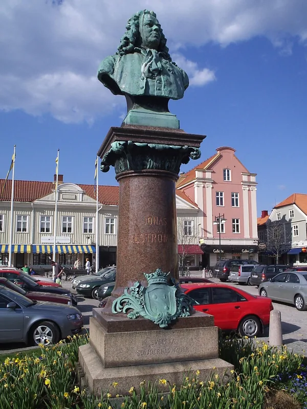
- Nearby: Askersund (23 km)
Best time to visit & climate
The most pleasant time to visit is Jun–Aug.
| Jan | Feb | Mar | Apr | May | Jun | Jul | Aug | Sep | Oct | Nov | Dec | |
|---|---|---|---|---|---|---|---|---|---|---|---|---|
| Avg °C | -4 | -3 | 0 | 6 | 11 | 15 | 18 | 17 | 12 | 7 | 2 | -2 |
| Rain mm | 61 | 49 | 44 | 45 | 81 | 100 | 110 | 96 | 67 | 82 | 70 | 62 |
📋 Practical info
Geography
Facts
- Maximum elevation of 230 meters
- National Park established in 1983
- Protects 1,350 hectares of forest area
- Features massive granite boulders from the Ice Age
- Rugged fissure valley landscape
- Critical habitat for the rare western capercaillie
Explore nearby
Notable places around
Route planner — Car & Motorhome
Where do you start? We build the route here, with stops and country notes along the way.
© OpenStreetMap contributors · OpenRouteService
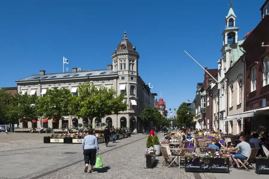
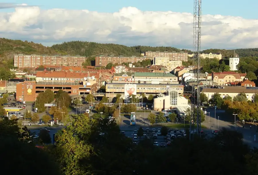
Sights in the town Tiveden Heights (3)
Sights nearby
Frequently asked questions
What is special about Tiveden National Park?
Are the hiking trails strenuous?
Is it allowed to make fires in the park?
Are there lakes for swimming there?
How do you reach the park?
Tiveden Heights: where is it located?
Tiveden Heights: what is there to see?
Tiveden Heights: when is the best time to visit?
Tiveden Heights: why is it worth visiting?

Nearby cities