Plizio Visual Lab
Pieljekaise
Plizio editorial teamData Sources
Mountain
Weather…
Water temperature…
Pieljekaise National Park is located in the Arjeplog municipality of Lapland and is primarily recognized for its extensive and pristine mountain birch forests. The park's name is derived from the Sami word 'Bieljiegajse', meaning 'Ear Mountain', which refers to the two distinct peaks resembling ears. Covering an area of 153 square kilometers, the park showcases a classic high-mountain landscape featuring heaths, mires, and crystal-clear alpine lakes. Geologically part of the Scandinavian Mountains, the terrain shows prominent evidence of the last glaciation, including moraine deposits and glacially polished bedrock. The park serves as a crucial sanctuary for northern wildlife such as brown bears, wolverines, and various bird species like the ptarmigan. The famous Kungsleden (King's Trail) hiking path passes through the national park, attracting visitors who seek tranquility.
Best time to visit & climate
The most pleasant time to visit is Jun–Aug.
| Jan | Feb | Mar | Apr | May | Jun | Jul | Aug | Sep | Oct | Nov | Dec | |
|---|---|---|---|---|---|---|---|---|---|---|---|---|
| Avg °C | -12 | -12 | -8 | -3 | 4 | 10 | 13 | 11 | 6 | -1 | -7 | -10 |
| Rain mm | 55 | 44 | 43 | 47 | 82 | 101 | 136 | 112 | 87 | 69 | 62 | 62 |
📋 Practical info
Getting there
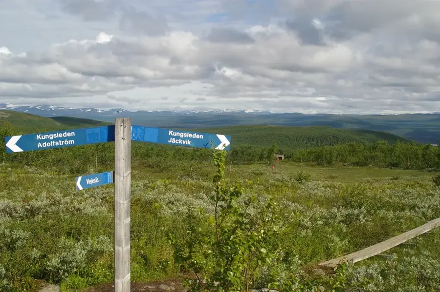
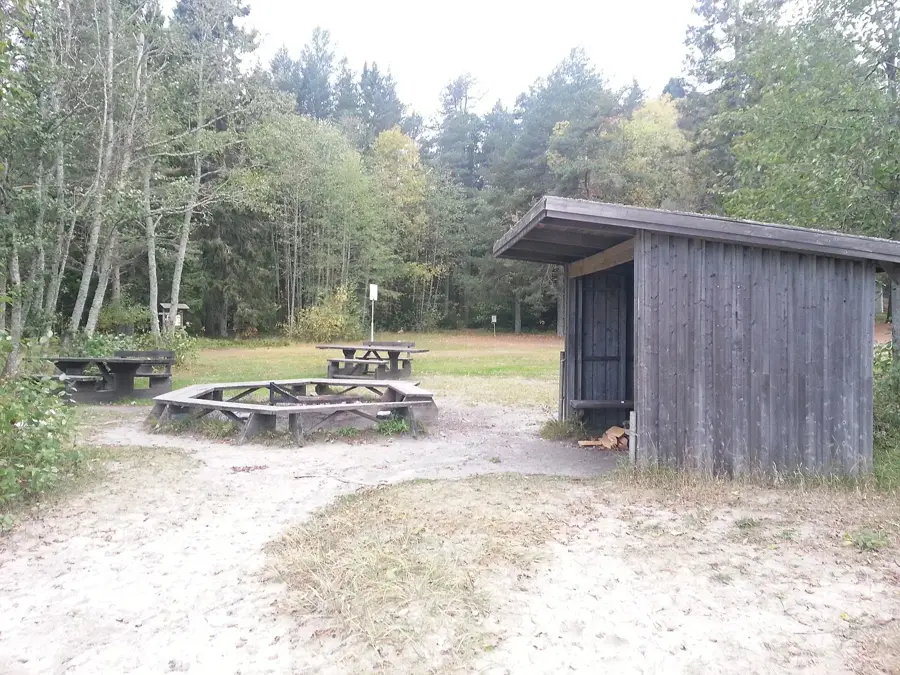
Reaching the mountain starts via the village of Jäkkvik along the famous Silver Road in northern Sweden. From there, well-trodden trails lead directly up through the birch forests into the reserve.
Best season
Summer and early autumn provide excellent hiking weather, allowing clear views from the bare summit. Deep winter snow transforms the slopes, making it a viable destination for rugged snowshoeing.
Terrain & paths
The lower sections feature dense, extensive birch forests that give way to open, bare rock toward the peak. The trails are relatively moderate initially but become steeper near the exposed summit.
What to bring
Basic hiking boots are recommended for the forest trails, while a windbreaker is essential for the treeless top. Carry sufficient water and snacks, as there are no facilities once you leave the road.
Parking
Unpaved parking areas can be found in Jäkkvik where the trails begin branching off from the highway. Spaces are generally free but can fill up during peak hiking weeks in the middle of summer.
Safety
The dense birch forest can obscure landmarks, making map-reading and a compass highly necessary if wandering off-trail. Weather on the exposed summit can turn suddenly cold, even on summer days.
Time needed
Hiking from the road up to the 'Ear Mountain' summit and returning typically occupies a robust half to full day. Casual walkers might simply spend a few hours strolling the lower, forested edges.
Geography
Facts
- The national park was established in 1962 to protect birch forests.
- The name refers to the two peaks that resemble ears from a distance.
- The summit of Pieljekaise reaches an elevation of 1,133 meters.
- The Kungsleden trail runs through the park for 18 kilometers.
- The birch forests are considered some of the most pristine in Sweden.
- The total area of the park covers 15,340 hectares of wilderness.
Explore nearby
Notable places around
Route planner — Car & Motorhome
Where do you start? We build the route here, with stops and country notes along the way.
Vehicle
Only stops with (optional):
© OpenStreetMap contributors · OpenRouteService
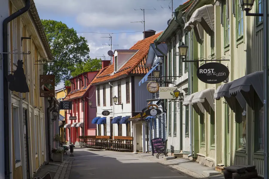
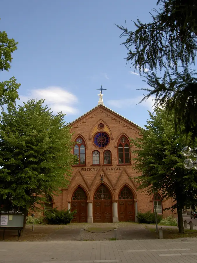
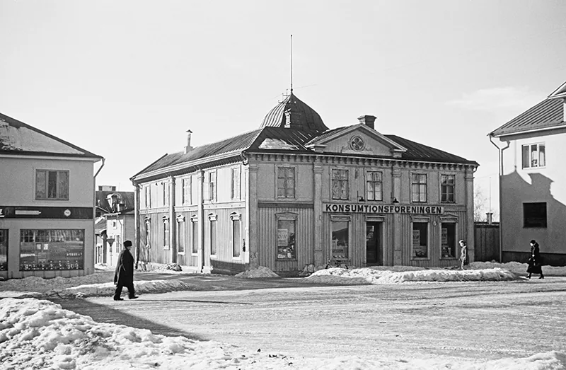
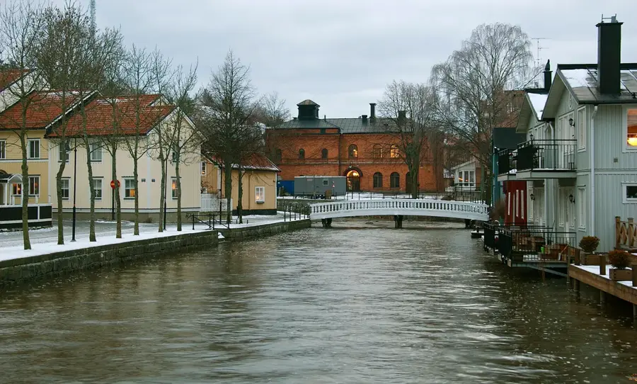
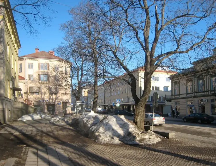
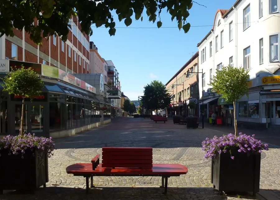
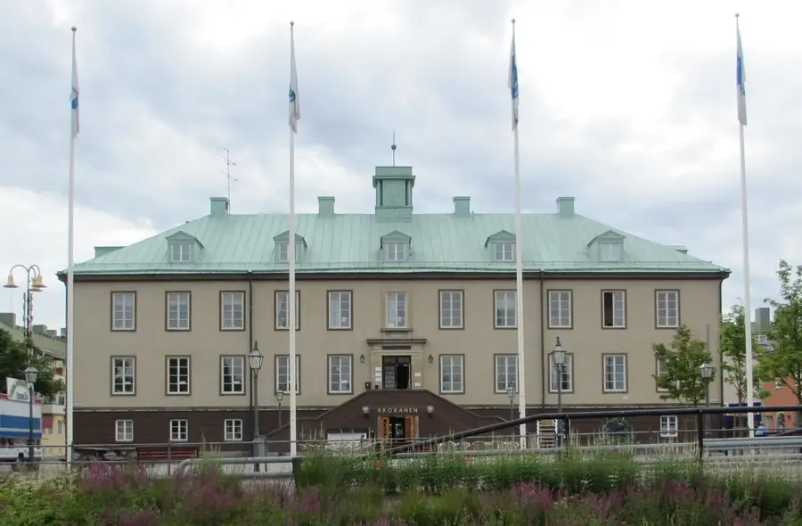
Sights in the town Pieljekaise (1)
Sights nearby
Frequently asked questions
What is Pieljekaise?
A national park and mountain in Lapland, known for its vast birch forests.
How do you reach the national park?
The easiest access is from the village of Jäckvik on the Kungsleden trail.
Is there a mountain hut in the park?
Yes, the Pieljekaise hut gives simple accommodation for hikers.
Is the Kungsleden part of the park?
Yes, a section of the famous Kungsleden trail leads directly through the national park.
When should you visit Pieljekaise?
Late summer and early autumn are well-suited, when mosquitoes decrease and the foliage is colorful.
Pieljekaise: where is it located?
Pieljekaise is located in Sweden.
Pieljekaise: when is the best time to visit?
The most pleasant time to visit is Jun, Aug.
Pieljekaise: why is it worth visiting?
Pieljekaise National Park is located in the Arjeplog municipality of Lapland and is primarily recognized for its extensive and pristine mountain birch forests.

Explore with Plizio
Discover more places in Europe
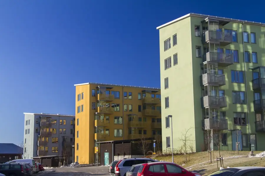
More places in Sweden →
Nearby cities
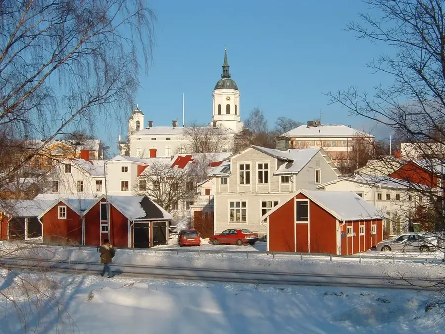
Gävle
Gävle is the oldest city in Norrland and a key commercial center on the Baltic Sea.
Östersund
Östersund is located on the shores of Lake Storsjön, Sweden's fifth-largest lake.
Borlänge
Borlänge is a major industrial and commercial center in the Dalarna province.
Falun
Falun is world-famous for its historic copper mine, which is a UNESCO World Heritage site.
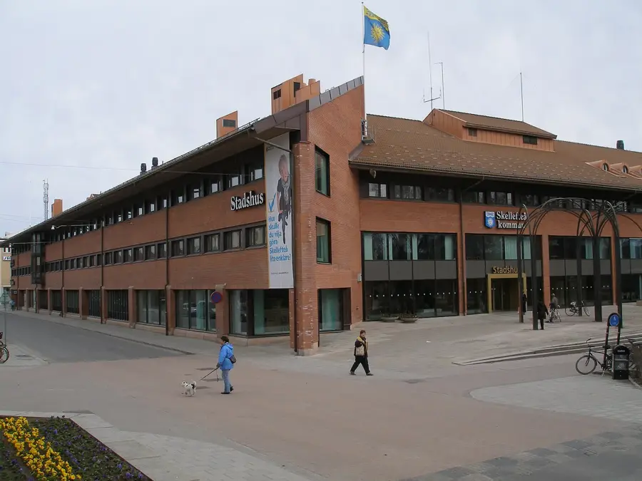
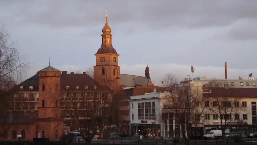
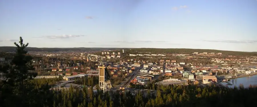
Skellefteå
Skellefteå is a historic mining center in northern Sweden.
Örnsköldsvik
Discover Örnsköldsvik, the heart of the High Coast, a UNESCO site.
Märsta
Märsta is a modern town in Sweden, strategically located between Uppsala and Stockholm and serving as the seat of Sigtuna Municipality, c…
Härnösand
Härnösand is often called the 'Gateway to the High Coast' and is situated on both an island and a peninsula.
Gånsvikshamn
Gånsvikshamn is a scenic Swedish coastal location offering stunning views of the Bothnian Sea and beautiful natural surroundings.
Piteå
Piteå is located on the Gulf of Bothnia in northern Sweden and is a major center for the forest and paper industry.
Norrtälje
Norrtälje is a charming coastal town in the heart of Roslagen, known for its picturesque wooden houses, lively harbor, and rich maritime …
Hudiksvall
Hudiksvall is located on the coast of Hälsingland and is known for its well-preserved red warehouses in the harbor.
Ludvika
Explore Ludvika in Sweden's Dalarna region, a town shaped by its industrial heritage, nestled by Lake Väsman.
Bollnäs
A cultural gem in Hälsingland on the Ljusnan River, famous for its magnificent UNESCO-listed decorated farmhouses and vibrant folk music.
Mora
Historic town on Lake Siljan, the finish line of the Vasaloppet and home of artist Anders Zorn.