Plizio Visual Lab
Skierfe
Weather…
Water temperature…
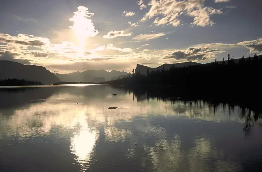
Skierfe is an 1179-meter-high mountain located at the eastern edge of Sarek National Park in Swedish Lapland. It is internationally recognized for its nearly vertical western cliff, which drops approximately 700 meters down to the vast delta of the Rapa River. Geologically part of the Scandinavian Mountains, the peak was shaped by massive glacial erosion during the last Ice Age, resulting in its sharp profile. The Laitaure delta below is one of Europe's most spectacular natural landscapes, featuring a complex maze of turquoise waterways and sediment islands. Reaching the summit involves a demanding trek through one of the most remote wilderness areas in the world, as Sarek contains no marked trails or bridges. Historically, Skierfe held great spiritual significance for the Sami people, serving as a sieidi or sacred site for traditional offerings and rituals.
📋 Practical info
Geography
Facts
- The summit elevation is 1179 meters above sea level.
- The western cliff drops 700 meters almost vertically to the delta.
- Located within Sarek National Park, part of the Laponia World Heritage site.
- Overlooks the Rapa River delta, Europe's largest mountain delta.
- Known as a traditional sacred sieidi site for the indigenous Sami people.
- There are no marked trails or infrastructure within the park area.
Explore nearby
Notable places around
Route planner — Car & Motorhome
Where do you start? We build the route here, with stops and country notes along the way.
© OpenStreetMap contributors · OpenRouteService
Sights nearby
Frequently asked questions
Where is the Skierfe summit located?
Why is Skierfe so famous?
How difficult is the hike to the summit?
How do you reach the Aktse starting point?
Can you camp at Skierfe?
Skierfe: where is it located?
Skierfe: why is it worth visiting?

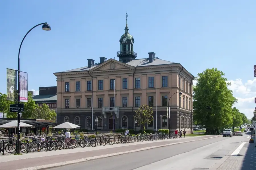
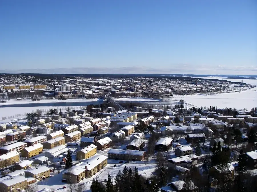
Nearby cities