Plizio Visual Lab
Öland
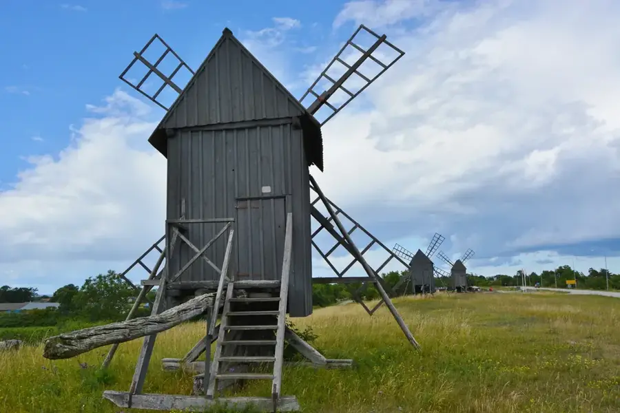
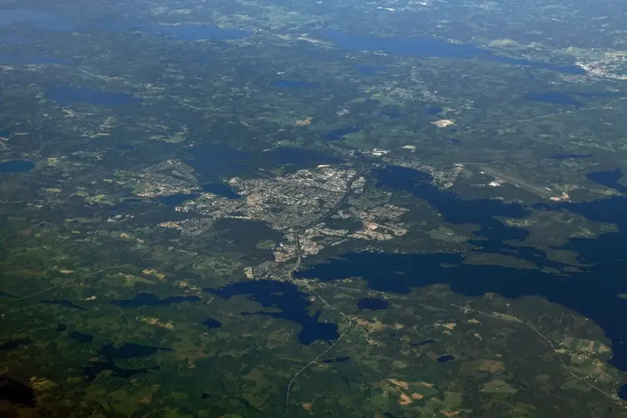
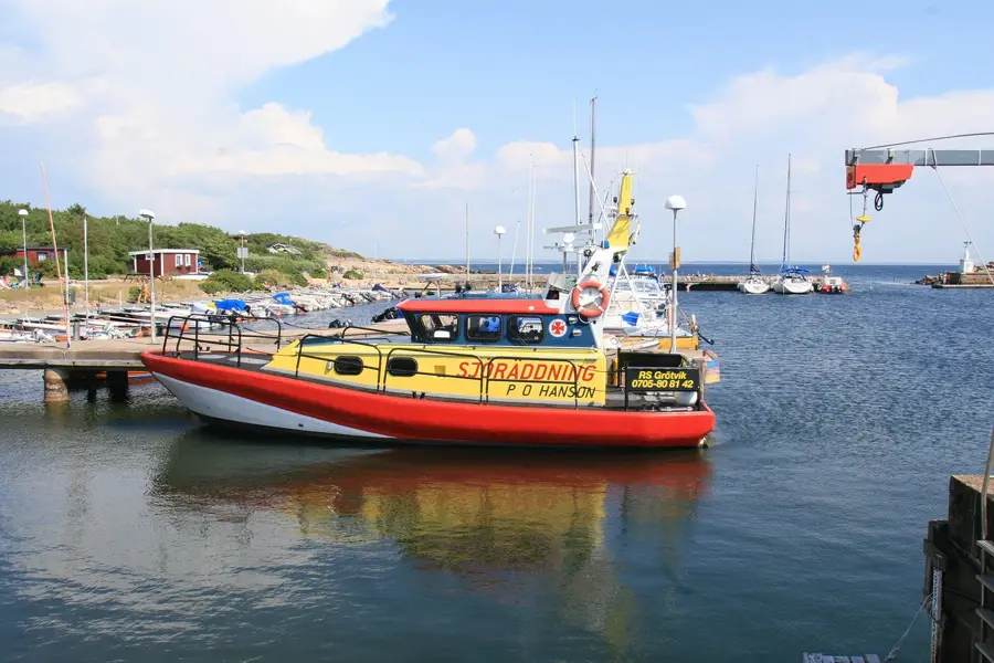
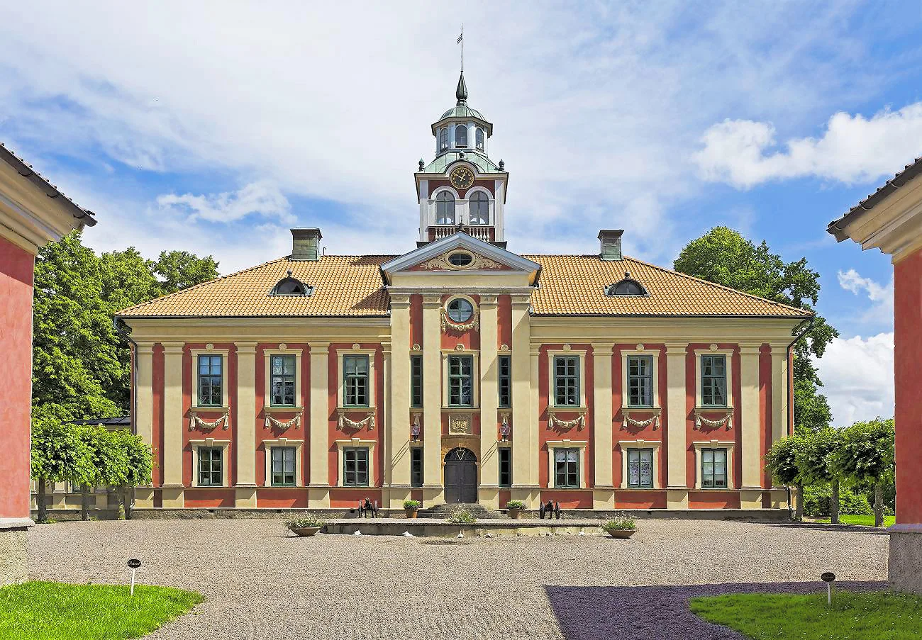
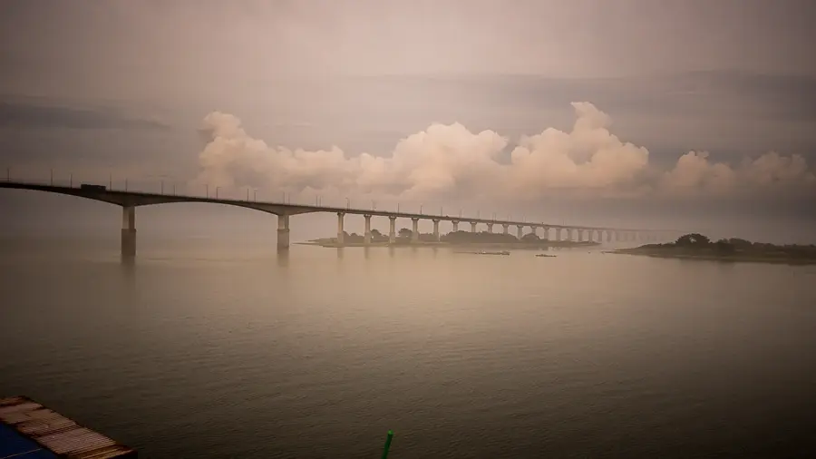
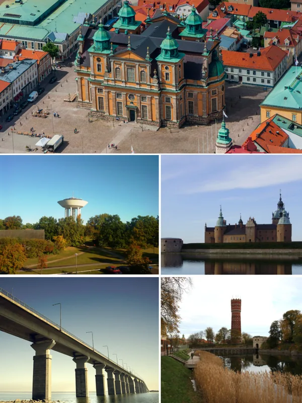
Öland is the second largest island in Sweden, located in the Baltic Sea and separated from the mainland by the Kalmar Strait. The island is connected to the city of Kalmar via the 6,072-meter-long Öland Bridge, which was the longest in Europe when it opened in 1972. Geographically, Öland is defined by its flat landscape and a unique limestone plateau in the south called Stora Alvaret, a UNESCO World Heritage site recognized for its rare flora and fauna. Historically, the island was an important agricultural hub and features numerous archaeological sites, including the reconstructed Iron Age fortress of Eketorp. Öland is also well-known as the summer residence of the Swedish Royal Family, who stay at Solliden Palace. The mild climate and lime-rich soil support various rare plant species, particularly orchids. Today, the island is a popular tourist destination, famous for its iconic wooden windmills and extensive sandy beaches.
- Location: Sweden
- Top sights: Karum · Rönnerum - Abbantorp · Ismantorp
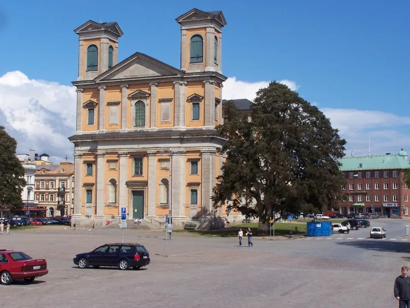
- Nearby: Köpingsvik (15 km)
Best time to visit & climate
The most pleasant time to visit is Jun–Aug.
| Jan | Feb | Mar | Apr | May | Jun | Jul | Aug | Sep | Oct | Nov | Dec | |
|---|---|---|---|---|---|---|---|---|---|---|---|---|
| Avg °C | -1 | -1 | 1 | 6 | 11 | 15 | 18 | 17 | 13 | 8 | 4 | 1 |
| Rain mm | 45 | 39 | 34 | 32 | 46 | 60 | 83 | 68 | 49 | 66 | 66 | 52 |
📋 Practical info
Geography
Facts
- The island covers an area of about 1,347 km² and is 137 km long.
- The Öland Bridge rests on 156 pillars across the Kalmar Strait.
- Stora Alvaret covers approximately one-quarter of the island's total land area.
- More than 350 historical wooden windmills are still standing on Öland.
- The Långe Jan lighthouse is Sweden's tallest at 41.6 meters.
- More than 30 different species of orchids are native to the island's unique soil.
Explore nearby
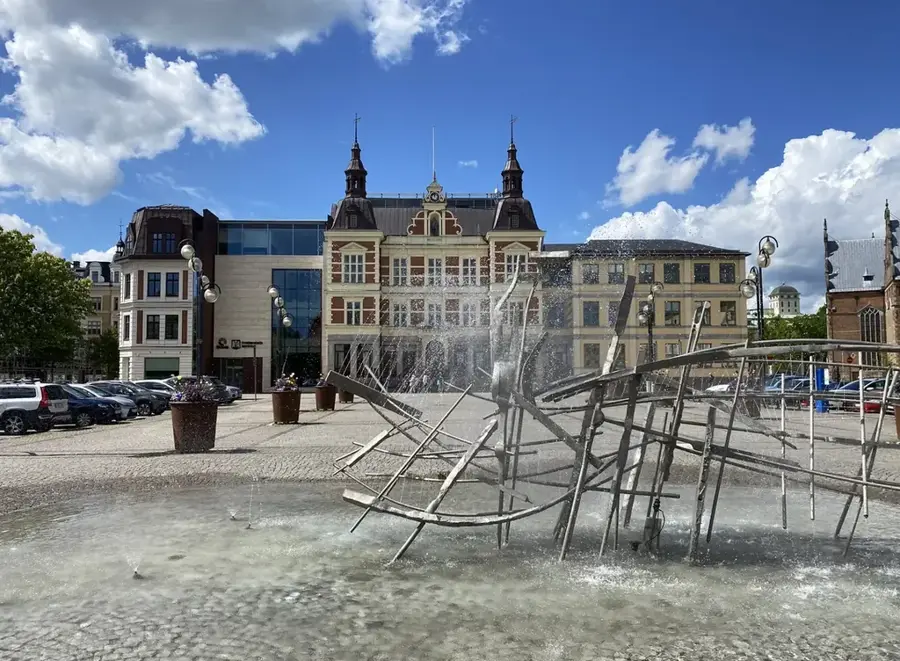
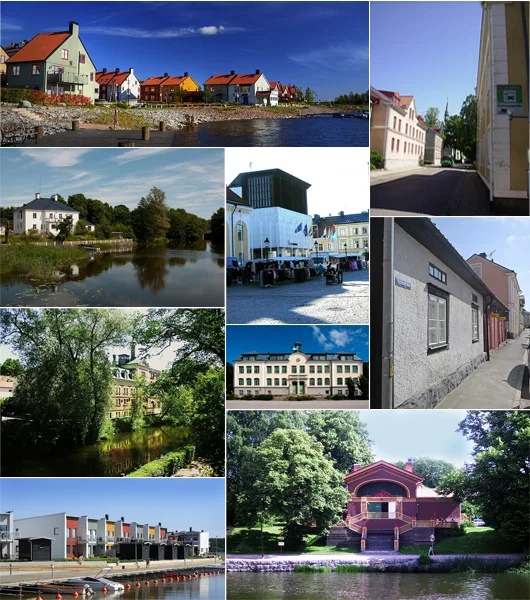
Notable places around
Route planner — Car & Motorhome
Where do you start? We build the route here, with stops and country notes along the way.
© OpenStreetMap contributors · OpenRouteService
Sights in the town Öland (7)
Ölands Museum Himmelsberga🏛 museum
An open-air museum on Öland showcasing the region's traditional farming life.
Sights nearby
Frequently asked questions
How do you get to Öland?
What is Stora Alvaret?
Are there windmills there?
Where does the Swedish royal family vacation?
Which beaches are recommended?
Öland: where is it located?
Öland: what is there to see?
Öland: when is the best time to visit?
Öland: why is it worth visiting?

Nearby cities