Plizio Visual Lab
Stora Alvaret
Weather…
Water temperature…
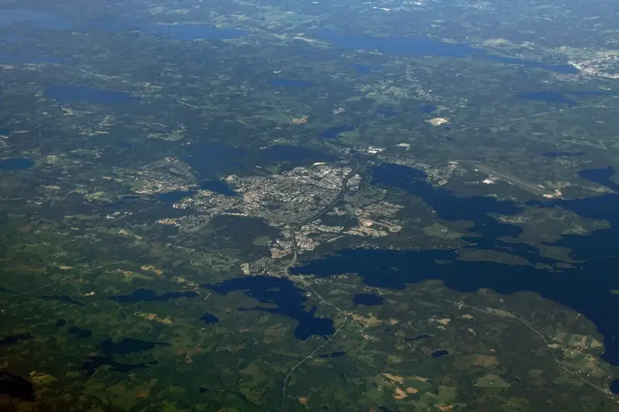
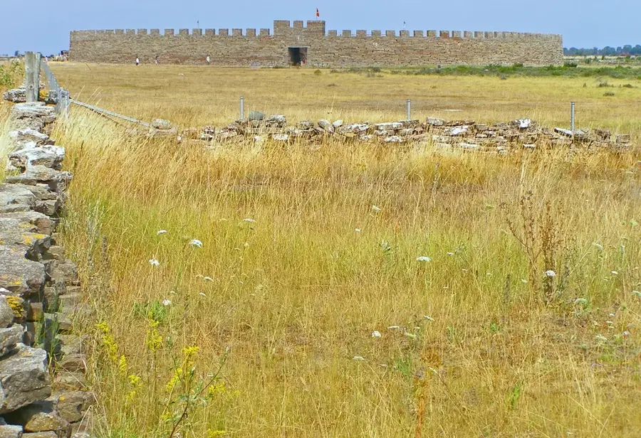
Stora Alvaret is a massive limestone pavement on the island of Öland, covering approximately 26,000 hectares. This barren landscape was formed during the Ordovician period and is characterized by a thin layer of soil over solid limestone. It has been a UNESCO World Heritage site since 2000 as part of the Agricultural Landscape of Southern Öland. Despite its harsh conditions, it supports a unique ecosystem with rare orchids and various endemic species like the Öland rock rose. The area has been used for grazing for thousands of years, which has prevented the encroachment of forests. It is one of the largest examples of such a habitat in Europe and features significant archaeological interest with Iron Age remains. The stark beauty of the landscape and its unique geology attract researchers and nature enthusiasts from around the globe.
- Location: Sweden
- Top sights: Gösslunda naturreservat · Dalby lund · Mysinge
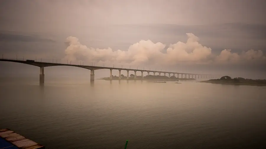
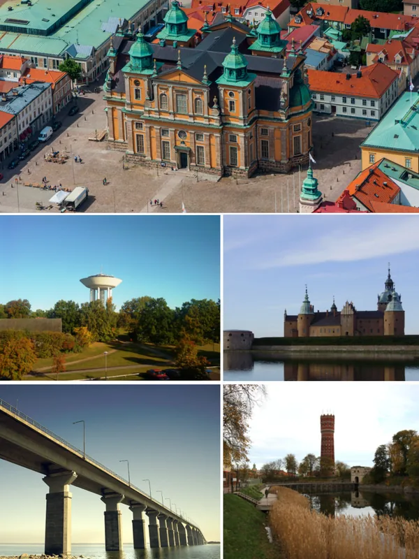
- Nearby: Öland (20 km)
Best time to visit & climate
The most pleasant time to visit is Jun–Aug.
| Jan | Feb | Mar | Apr | May | Jun | Jul | Aug | Sep | Oct | Nov | Dec | |
|---|---|---|---|---|---|---|---|---|---|---|---|---|
| Avg °C | 0 | 0 | 2 | 6 | 11 | 15 | 18 | 18 | 14 | 9 | 5 | 2 |
| Rain mm | 49 | 42 | 35 | 32 | 42 | 53 | 80 | 66 | 52 | 66 | 67 | 57 |
📋 Practical info
Geography
Facts
- Covers an area of 26,000 hectares
- UNESCO World Heritage site since 2000
- Basement consists of 500m thick limestone
- Home to the endemic Öland rock rose
- Over 5,000 years of continuous grazing history
- Formed approximately 450 million years ago
Explore nearby
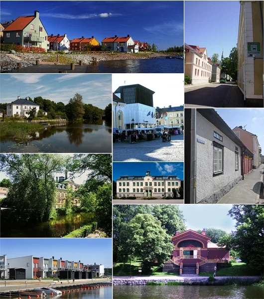
Notable places around
Route planner — Car & Motorhome
Where do you start? We build the route here, with stops and country notes along the way.
© OpenStreetMap contributors · OpenRouteService
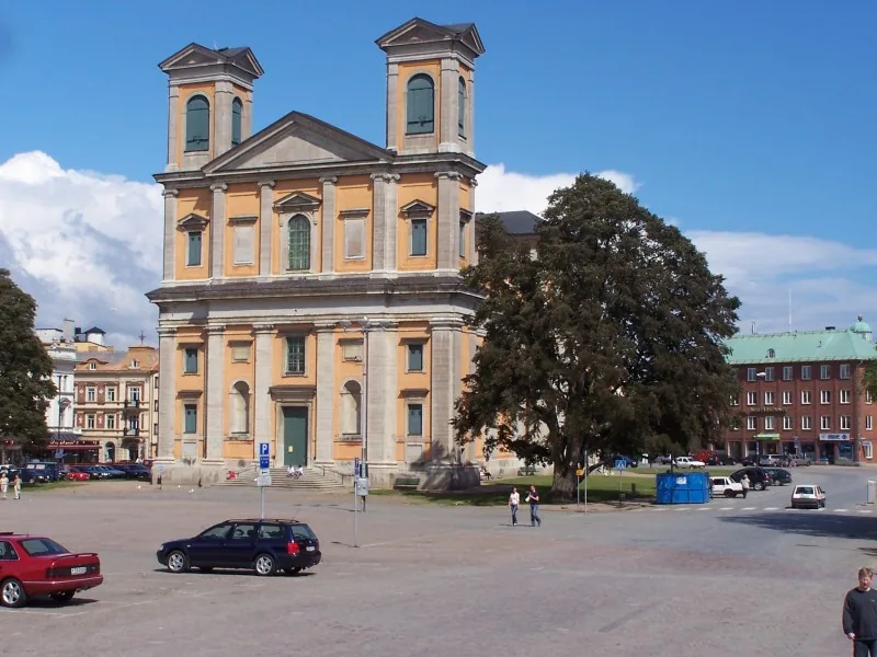
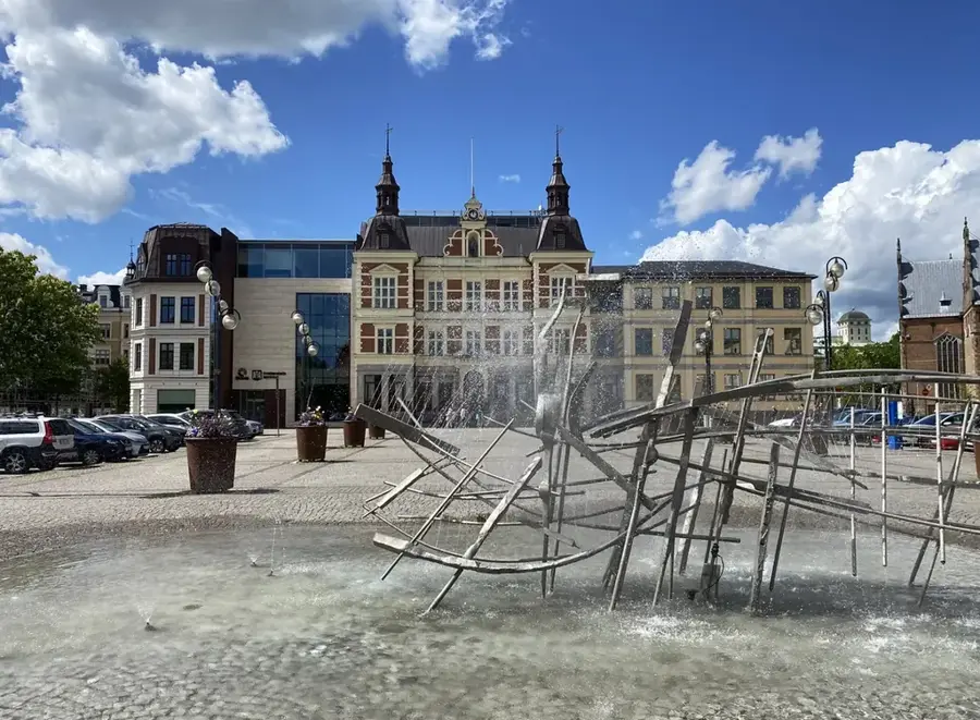
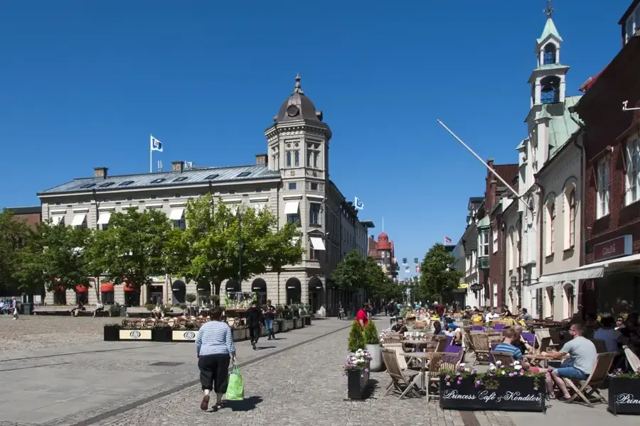
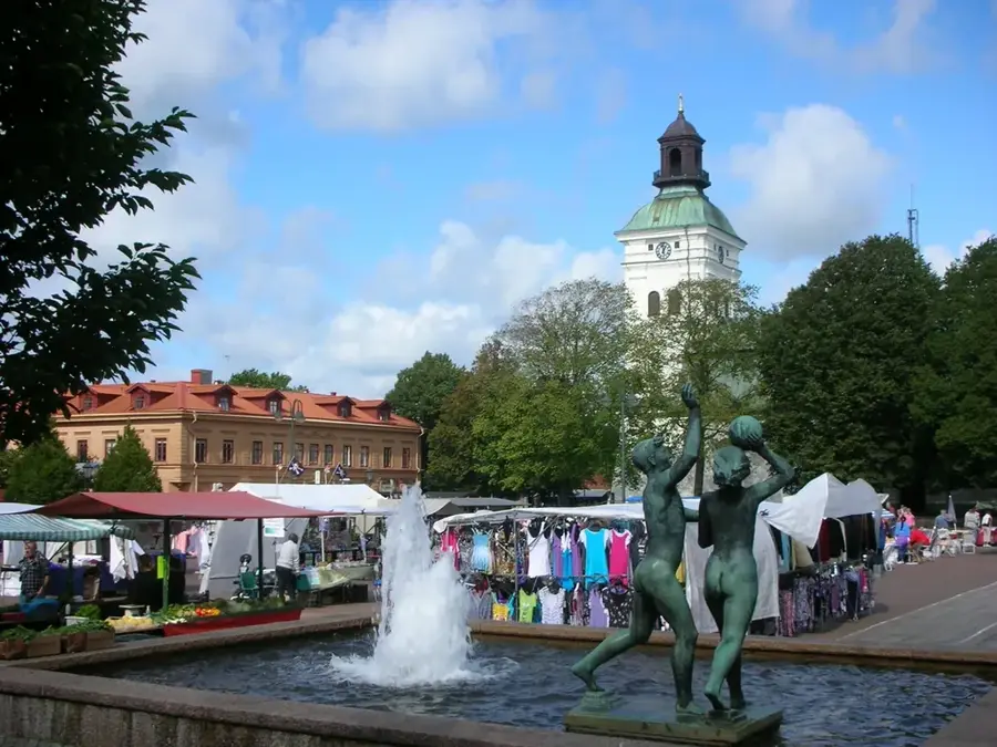
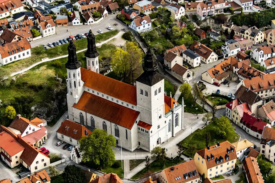
Sights in the town Stora Alvaret (3)
Sights nearby
Frequently asked questions
What is Stora Alvaret?
Are there rare plants there?
Is it allowed to leave the paths?
How large is the area?
Is there drinking water available?
Stora Alvaret: where is it located?
Stora Alvaret: what is there to see?
Stora Alvaret: when is the best time to visit?
Stora Alvaret: why is it worth visiting?

Nearby cities