Plizio Visual Lab
Kosterhavet (Koster Islands)

ℹ️Practical info — Kosterhavet (Koster Islands)
▾
🌤 Weather — 5 days
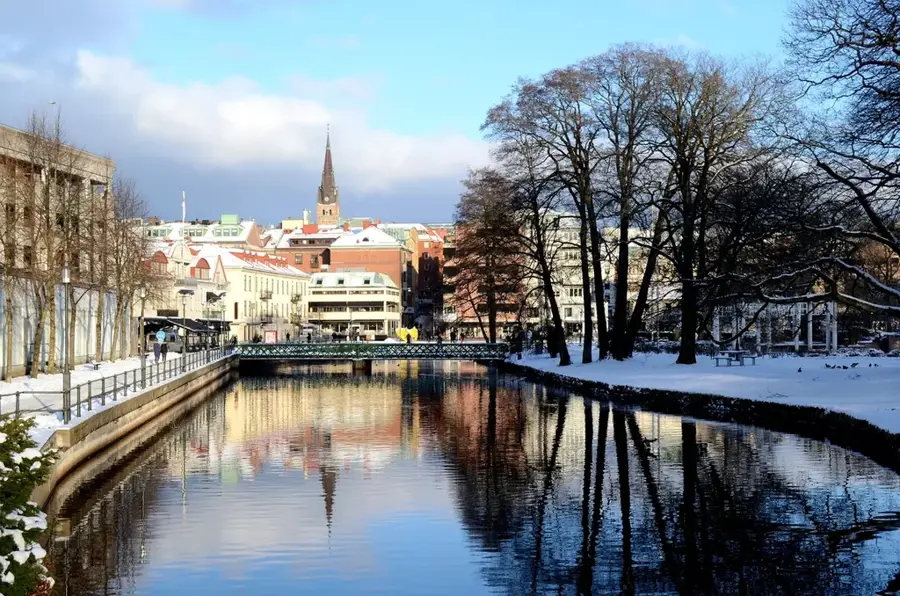
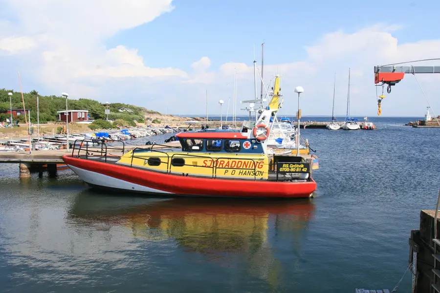
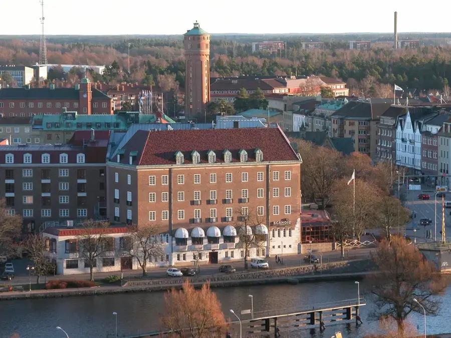
📍 Nearby
Sights nearby
💡 Tips
- The islands are largely car-free; rent a bicycle upon arrival to easily explore South Koster (Sydkoster).
- North Koster (Nordkoster) is more rugged and hilly, making it first-rate for exploring on foot.
- Bring your own water and a packed lunch if you plan to hike the more remote coastal trails.
- The national park's underwater trail is great for snorkeling; bring a wetsuit if the water is chilly.
🍽 Food
A true island classic, available at local smokehouses or fresh fish stalls.
Grown in the cold, clean waters, these oysters are served in top local restaurants.
Keep an eye out for small island cafes offering freshly made ice cream on warm summer days.
🛍 Shopping · 🧘 Quiet spots
Visit the small Koster artist studios to buy crafts and paintings directly from the creators.
Stop by seasonal farm stalls selling locally grown vegetables, flowers, and homemade preserves.
The highest point on Sydkoster, offering impressive, panoramic views of the entire archipelago.
A rugged pebble beach surrounded by dramatic scenery, excellent for quiet reflection and stone skipping.
Water temperature…
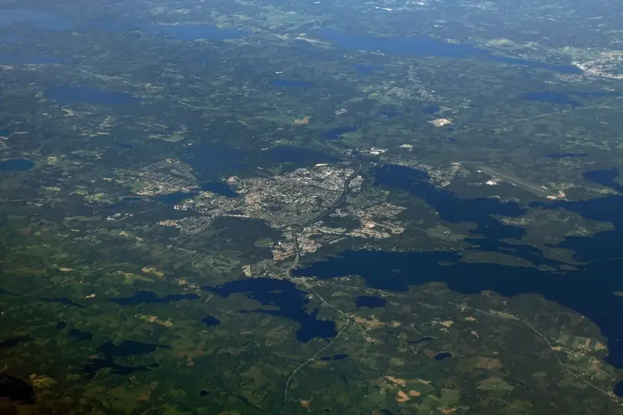
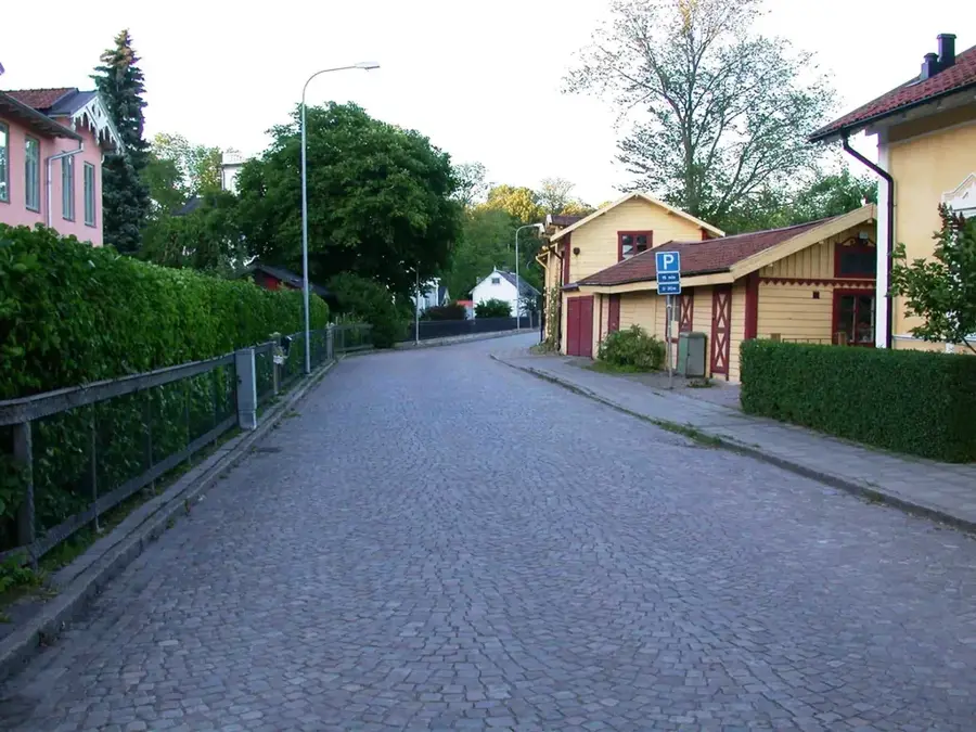
The Kosterhavet area encompasses Sweden's first marine national park and the two main islands, North and South Koster. The region is famous for its exceptional biodiversity, aided by the Koster Fjord, a deep trench bringing Atlantic water into the archipelago. Beneath the surface, around 6,000 species live, including cold-water corals found nowhere else in Swedish waters. On the islands themselves, a peaceful atmosphere prevails as private car traffic is prohibited; transportation is mostly by bicycle or electric carts. South Koster is the larger island with green landscapes and beautiful sandy beaches like Kilesand, while North Koster is more rugged and rocky. Hiking trails lead to viewpoints like Högen on South Koster, offering views as far as Norway. The islands are convenient for kayakers wishing to explore shallow bays. Ferries run regularly year-round from Strömstad, making the area one of Sweden's most beloved nature destinations.
- Location: Sweden
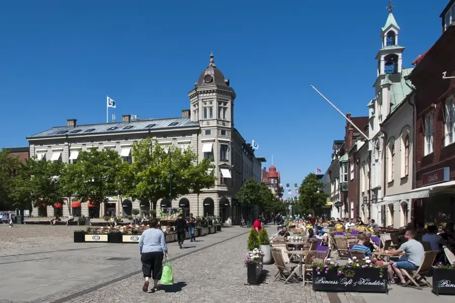
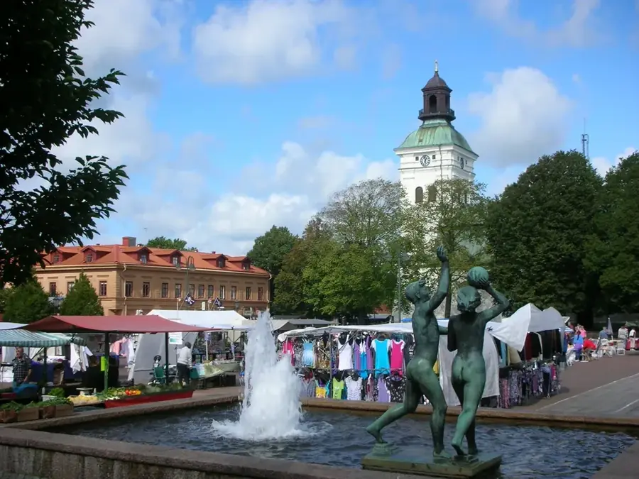
- Nearby: Strömstad (10 km)
- Population: ~50 (2023)
Best time to visit & climate
The most pleasant time to visit is Jun–Aug.
| Jan | Feb | Mar | Apr | May | Jun | Jul | Aug | Sep | Oct | Nov | Dec | |
|---|---|---|---|---|---|---|---|---|---|---|---|---|
| Avg °C | -1 | -2 | 1 | 6 | 11 | 15 | 17 | 16 | 13 | 8 | 4 | 0 |
| Rain mm | 84 | 63 | 54 | 56 | 72 | 78 | 93 | 107 | 88 | 109 | 100 | 87 |
Geography
Facts
- Sweden's first marine national park
- 6,000 marine species
- Cold-water coral reefs
- Two main islands: North and South Koster
- Almost entirely car-free zone
- Kostersnipan traditional boats
- Högen viewpoint on South Koster
- Year-round ferry from Strömstad
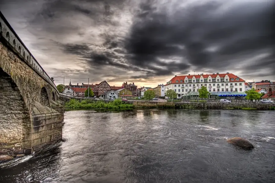
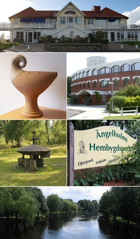
Explore nearby
Notable places around
Route planner — Car & Motorhome
Where do you start? We build the route here, with stops and country notes along the way.
© OpenStreetMap contributors · OpenRouteService
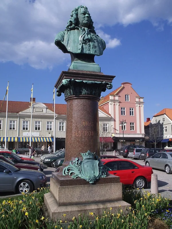
Sights in the town Kosterhavet (Koster Islands) (1)
Frequently asked questions
What is special about Kosterhavet?
Are cars allowed on the Koster Islands?
Is there a visitor center?
Can you go snorkeling there?
How to get between the islands?
Kosterhavet (Koster Islands): where is it located?
Kosterhavet (Koster Islands): when is the best time to visit?
Kosterhavet (Koster Islands): why is it worth visiting?

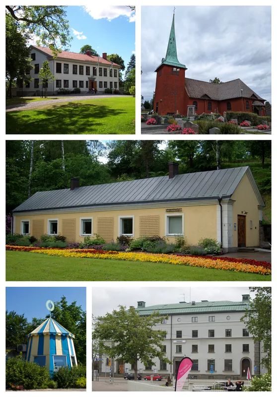
Nearby cities