Plizio Visual Lab
Billingen

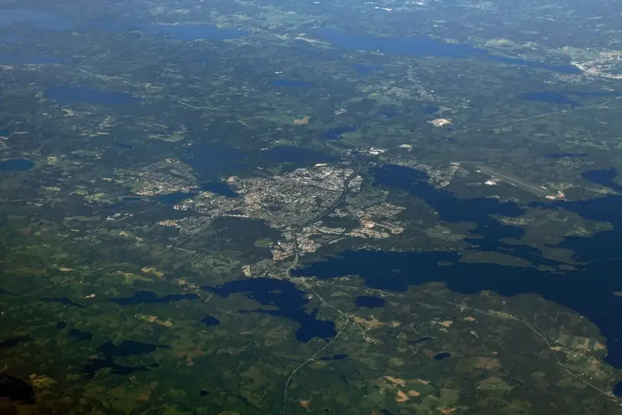
Billingen is one of the largest table mountains in Västergötland County, covering approximately 45 square kilometers and located adjacent to the city of Skövde. It reaches an elevation of about 300 meters above sea level and is geologically defined by its distinct layers of sedimentary rock topped with a hard diabase cap. The plateau houses numerous nature reserves, bogs, and lakes that serve as vital habitats for local flora and fauna. A major tourist highlight is the Silverfallet waterfall, which cascades over the mountain's limestone ledges. Historically, the mountain was extensively used for mining alum shale and limestone, which left its mark on the landscape through several old quarries. Today, Billingen is a prominent sports and recreation area, offering extensive hiking trails, mountain bike paths, and winter sports facilities.
- Location: Sweden
- Top sights: Blängsmossens naturreservat · Sätuna utmark · Billingekleven naturreservat
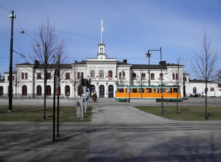
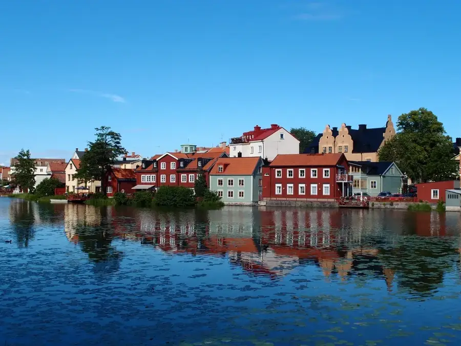
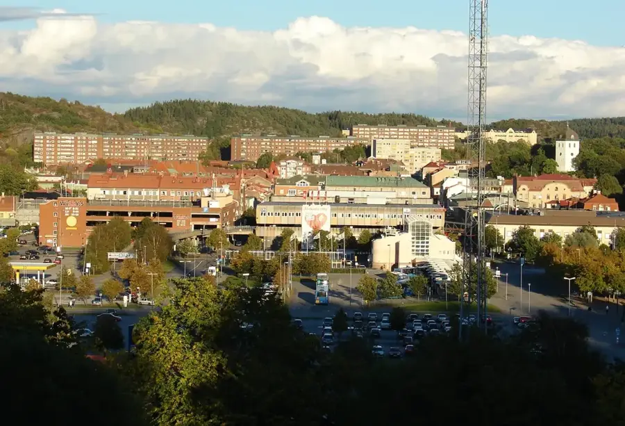
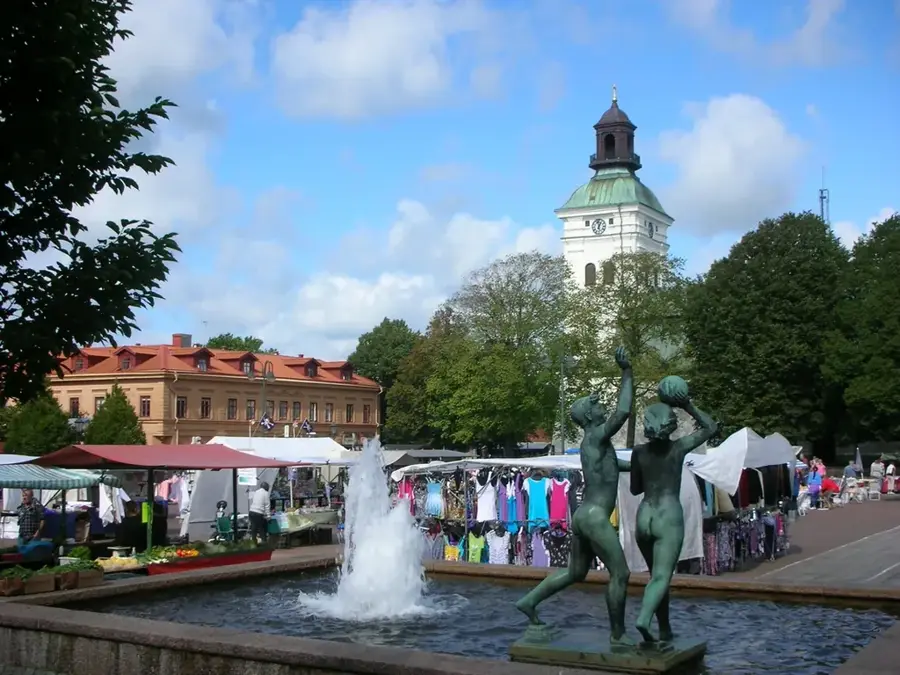
- Nearby: Skövde (5 km)
Best time to visit & climate
The most pleasant time to visit is Jun–Aug.
| Jan | Feb | Mar | Apr | May | Jun | Jul | Aug | Sep | Oct | Nov | Dec | |
|---|---|---|---|---|---|---|---|---|---|---|---|---|
| Avg °C | -3 | -3 | 1 | 6 | 11 | 15 | 18 | 17 | 13 | 7 | 2 | -2 |
| Rain mm | 54 | 45 | 42 | 44 | 76 | 98 | 105 | 96 | 65 | 77 | 65 | 57 |
📋 Practical info
Geography
Facts
- Plateau area covers approx. 45 sq km
- Highest point is 299 meters above sea level
- Features the scenic Silverfallet waterfall
- Geological cap made of hard diabase
- Site of historical alum shale mining
- Home to several diverse nature reserves
Explore nearby
Notable places around
Route planner — Car & Motorhome
Where do you start? We build the route here, with stops and country notes along the way.
© OpenStreetMap contributors · OpenRouteService
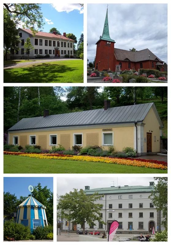
Sights in the town Billingen (5)
Billingekleven naturreservat
Billingekleven nature reserve in Västra Götaland includes steep slopes and old-growth forest.
Sights nearby
Frequently asked questions
Where is Billingen located?
What does the Billingen leisure area offer?
Are there waterfalls on Billingen?
Can you ski on Billingen in winter?
How high is the plateau?
Billingen: where is it located?
Billingen: what is there to see?
Billingen: when is the best time to visit?
Billingen: why is it worth visiting?

Nearby cities