Plizio Visual Lab
Gezira Scheme
Weather…
Water temperature…
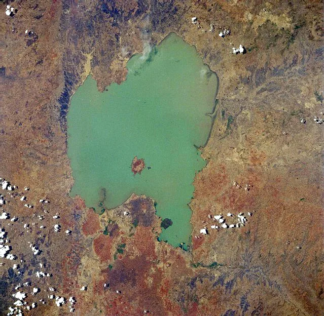
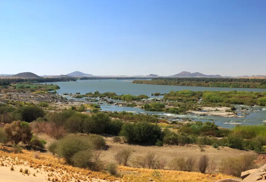
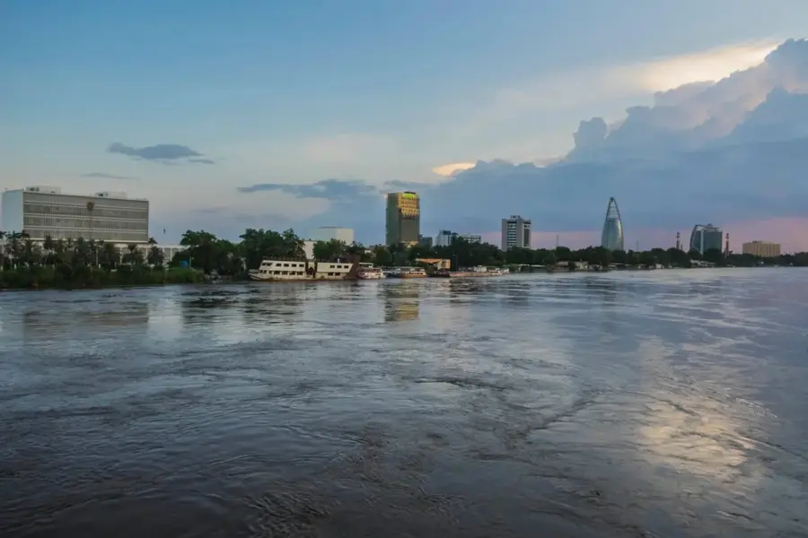
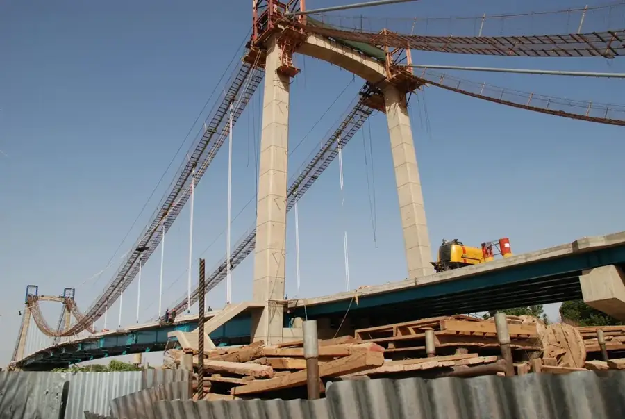
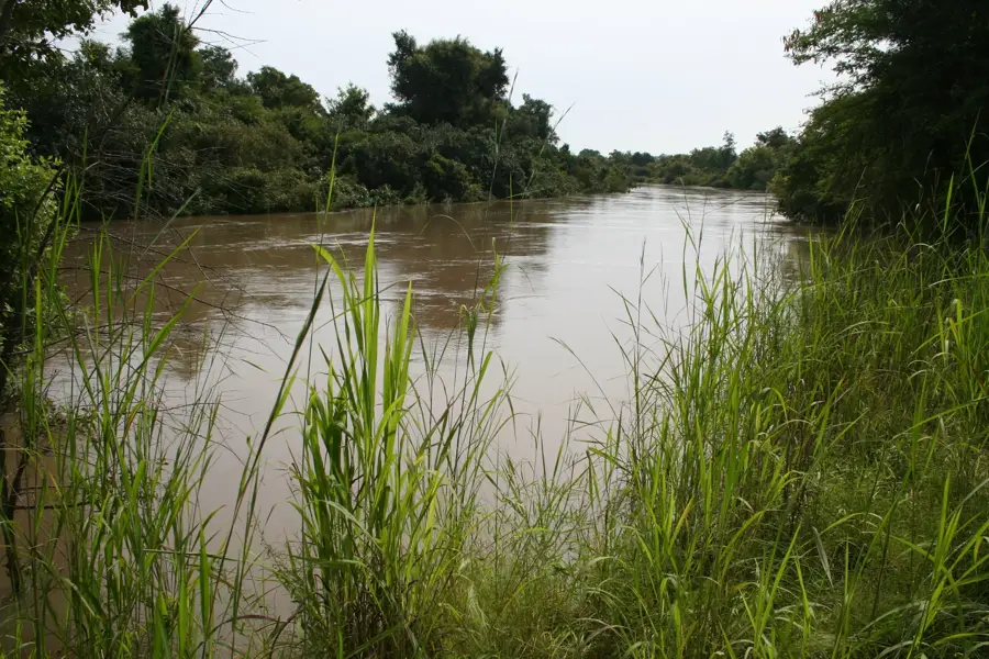
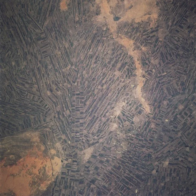
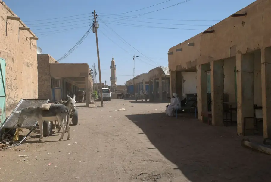
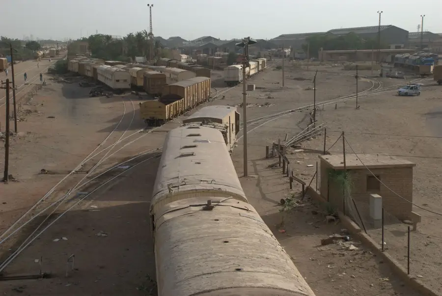
The Gezira Scheme is one of the world's largest irrigation projects and has formed the backbone of Sudanese agriculture for nearly a century. Located in the fertile triangle between the Blue and White Niles, the scheme was officially launched in 1925 with the completion of the Sennar Dam. Originally conceived by the British colonial administration to supply cotton for the textile mills of Lancashire, the area covers approximately 880,000 hectares (over 2 million acres). The system employs a complex network of canals totaling thousands of kilometers, utilizing gravity-fed irrigation to distribute water. Today, the scheme supports the cultivation of wheat, sorghum, and peanuts alongside cotton, contributing significantly to national food security. The project is not only an engineering masterpiece but also a massive social endeavor involving hundreds of thousands of tenant farmers. Despite infrastructure challenges, the Gezira Scheme remains vital to the Sudanese economy and the regional identity of Al Jazirah state.
- Location: Sudan
- Nearby: Al-Hasaheisa (24 km)
Best time to visit & climate
The most pleasant time to visit is Jan, Feb, Dec.
| Jan | Feb | Mar | Apr | May | Jun | Jul | Aug | Sep | Oct | Nov | Dec | |
|---|---|---|---|---|---|---|---|---|---|---|---|---|
| Avg °C | 24 | 27 | 29 | 33 | 34 | 34 | 30 | 28 | 30 | 32 | 28 | 25 |
| Rain mm | 0 | 0 | 0 | 1 | 9 | 16 | 81 | 105 | 41 | 14 | 0 | 0 |
📋 Practical info
Geography
Facts
- The scheme was officially inaugurated in 1925.
- It covers a total area of approximately 880,000 hectares.
- The Sennar Dam on the Blue Nile provides the essential water supply.
- The canal system has a total length of over 4,300 kilometers.
- More than 100,000 tenant families are directly involved in the scheme.
- Was for decades the world's largest producer of long-staple cotton.
Explore nearby
Notable places around
Route planner — Car & Motorhome
Where do you start? We build the route here, with stops and country notes along the way.
© OpenStreetMap contributors · OpenRouteService
Sights nearby
Frequently asked questions
What is the Gezira irrigation scheme?
Can the project be visited?
What is grown there?
When is the best season?
How to get there?
Gezira Scheme: where is it located?
Gezira Scheme: when is the best time to visit?
Gezira Scheme: why is it worth visiting?

Nearby cities
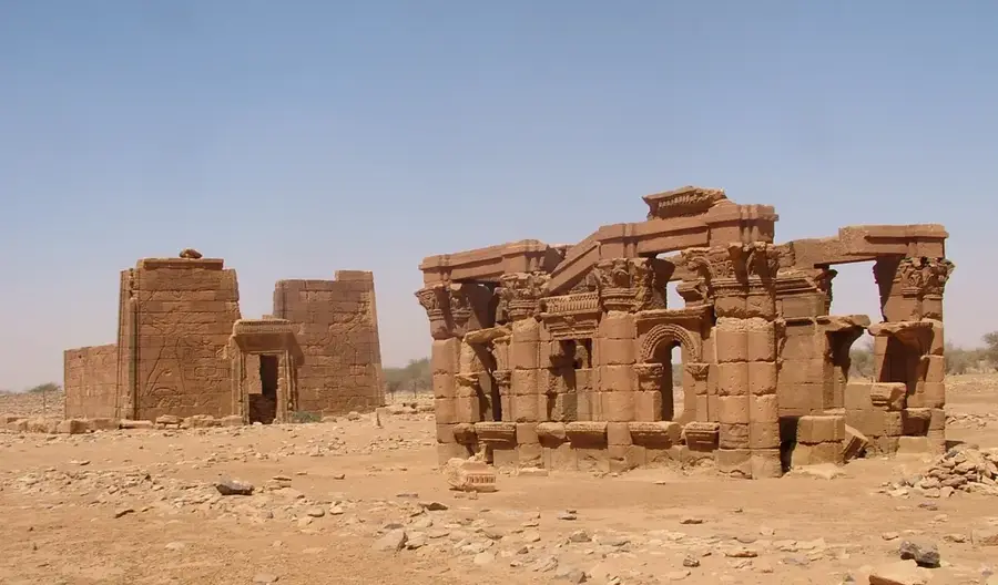
History & landmarks


Nature

More places