Plizio Visual Lab
Al-Hasaheisa
ℹ️Practical info — Al-Hasaheisa
▾
🌤 Weather — 5 days
📍 Nearby
Sights nearby
💡 Tips
- Visit the local market early in the morning to beat the intense heat.
- Dress modestly and always ask for permission before taking photographs of locals.
- Tuk-tuks are the best and most affordable way to get around the city.
- Stick to bottled water to prevent any stomach issues during your trip.
🍽 Food
Try this traditional fava bean dish from the street food stalls near the market.
Enjoy a heavily spiced coffee at one of the casual street-side cafes.
This traditional flatbread is served with almost every meal at local eateries.
🛍 Shopping · 🧘 Quiet spots
The central market is the best place to buy spices, nuts, and fresh produce.
Look for traditional Sudanese textiles at the local fabric stalls.
A quiet place for a late afternoon walk away from the bustling center.
The farming areas on the edge of the city offer a peaceful atmosphere.
Water temperature…
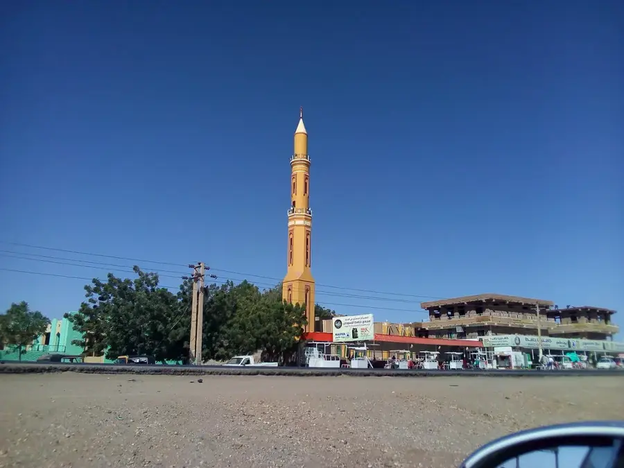
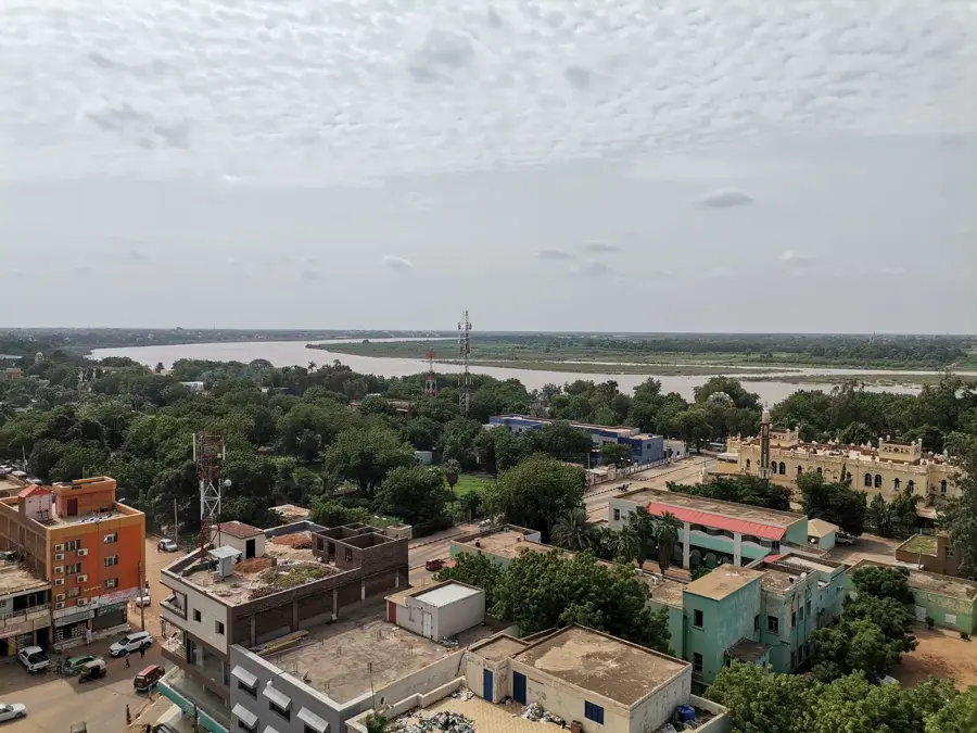
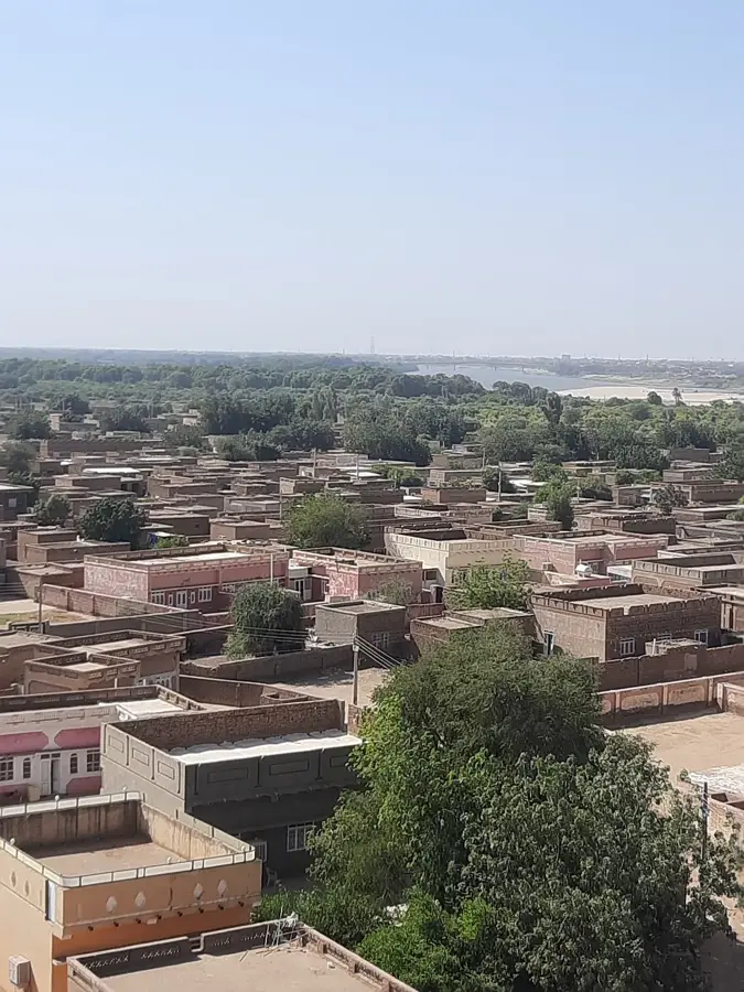
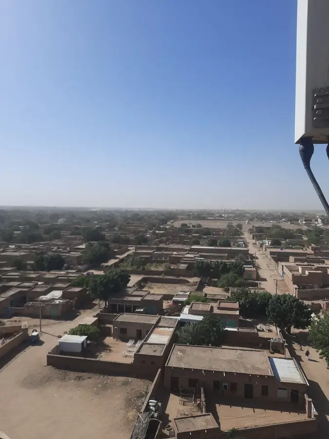
Al-Hasaheisa is a significant city in Sudan's Al Jazirah State, situated on the western bank of the Blue Nile. Located roughly midway between the capital Khartoum and the regional city of Wad Madani, it is a key urban center within the Gezira Scheme, the world's largest irrigation project. The city is primarily known for its industrial contributions, particularly in textile manufacturing and cotton ginning; it hosts one of the largest textile mills in the country. Al-Hasaheisa is also a vital transportation hub, connected to the town of Rufaa on the opposite bank by the prominent Friendship Bridge. Its economy is deeply intertwined with agriculture, focusing on the processing of cotton, wheat, and sugarcane grown in the surrounding fertile plains. In addition to its industrial role, the city provides essential administrative and educational services for the densely populated agricultural district. Its development mirrors the historical efforts to modernize Sudan's economy through Nile-based industrialization.
- Location: Sudan
- Top sights: Al-Hasaheisa · Roufa'a Bridge
- Nearby: Tambul (19 km)
- Population: ~47.408 (2024)
Best time to visit & climate
The most pleasant time to visit is Jan, Feb, Dec.
| Jan | Feb | Mar | Apr | May | Jun | Jul | Aug | Sep | Oct | Nov | Dec | |
|---|---|---|---|---|---|---|---|---|---|---|---|---|
| Avg °C | 25 | 27 | 30 | 33 | 34 | 33 | 30 | 28 | 29 | 31 | 29 | 26 |
| Rain mm | 0 | 0 | 0 | 1 | 13 | 30 | 106 | 134 | 55 | 19 | 1 | 0 |
Geography
Facts
- Located on the west bank of the Blue Nile in Al Jazirah State.
- Home to one of the largest textile factories in Sudan.
- A major center for cotton ginning and processing.
- Connected to the town of Rufaa via the Friendship Bridge.
- Key industrial hub within the vast Gezira Scheme.
- Situated roughly 120 km south-east of the capital, Khartoum.
Explore nearby
Notable places around
Route planner — Car & Motorhome
Where do you start? We build the route here, with stops and country notes along the way.
© OpenStreetMap contributors · OpenRouteService
Sights in the town Al-Hasaheisa (2)
Frequently asked questions
What characterizes Al-Hasaheisa?
Are there tourist offers there?
How is the travel?
What is life on the Nile like?
What is the best time?
Al-Hasaheisa: where is it located?
Al-Hasaheisa: what is there to see?
Al-Hasaheisa: when is the best time to visit?
Al-Hasaheisa: why is it worth visiting?

Nearby cities

History & landmarks
More places