Plizio Visual Lab
Mac Nimir Bridge
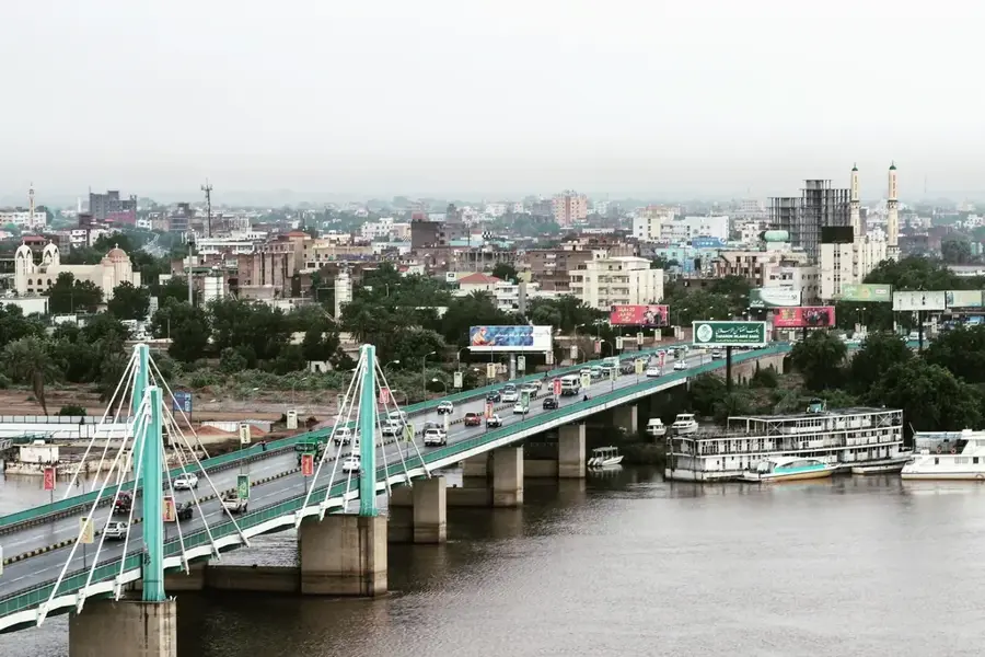
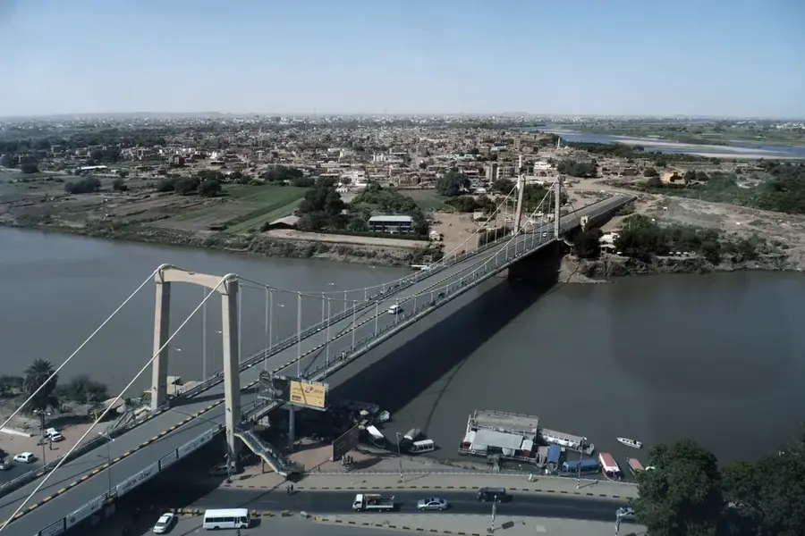
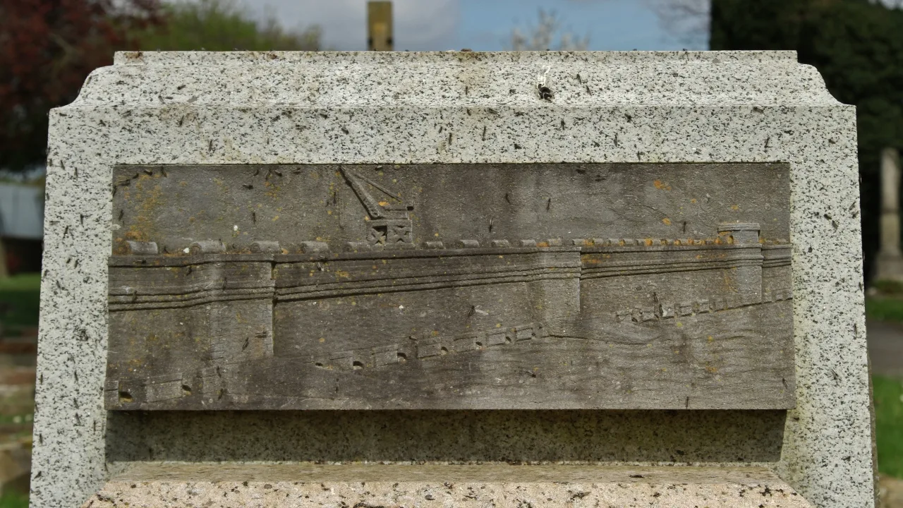
The Mac Nimir Bridge is a prominent transportation link in the Sudanese capital, Khartoum, spanning the Blue Nile to connect the city's central districts with Khartoum North. Opened in 2005, the bridge serves as a critical artery for urban mobility, significantly reducing travel times between the commercial heart of the capital and the industrial zones across the river. It is named after Mek Nimir, the 19th-century leader of the Ja'alin tribe who became a symbol of resistance against the Turco-Egyptian invasion of Sudan. The bridge is a modern steel box girder structure with a total length of approximately 1,160 meters, including its approaches. Its sleek engineering and prominent location near the Presidential Palace make it a notable landmark of Khartoum's early 21st-century development. At night, the bridge is illuminated, adding a contemporary aesthetic to the skyline and reflecting the city's ongoing infrastructural growth.
- Location: Sudan
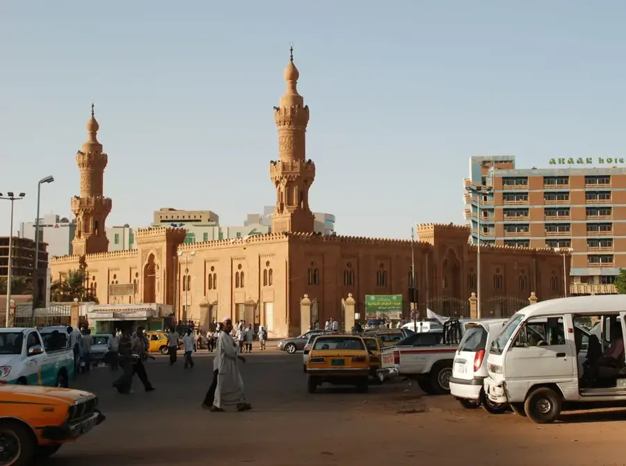
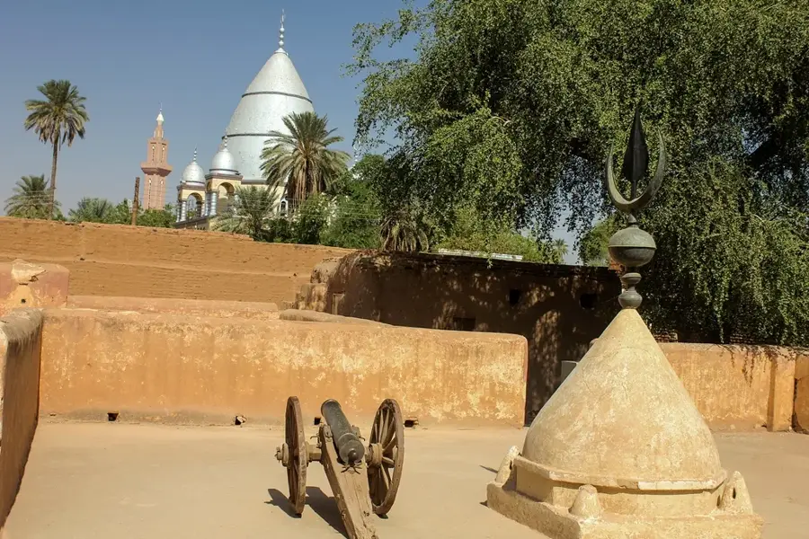
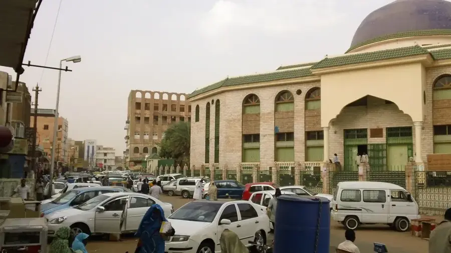
- Top sights: Khaish Art Studio · United Nations Development Programme (UNDP) · Ethnological Museum
- Nearby: Omdurman (7 km)
Best time to visit & climate
The most pleasant time to visit is Jan, Feb, Dec.
| Jan | Feb | Mar | Apr | May | Jun | Jul | Aug | Sep | Oct | Nov | Dec | |
|---|---|---|---|---|---|---|---|---|---|---|---|---|
| Avg °C | 22 | 25 | 28 | 31 | 34 | 35 | 33 | 31 | 32 | 32 | 27 | 23 |
| Rain mm | 0 | 0 | 0 | 1 | 3 | 5 | 44 | 58 | 20 | 9 | 0 | 0 |
📋 Practical info
Geography
Facts
- Opened in the year 2005
- Total length of approximately 1,160 meters
- Spans the Blue Nile river
- Connects Khartoum with Khartoum North (Bahri)
- Steel box girder construction type
- Named after the 19th-century leader Mek Nimir
Explore nearby
Notable places around
Route planner — Car & Motorhome
Where do you start? We build the route here, with stops and country notes along the way.
© OpenStreetMap contributors · OpenRouteService
Sights in the town Mac Nimir Bridge (4)
Sights nearby
Frequently asked questions
Why is the bridge historically significant?
Is it suitable for pedestrians?
Is there a viewpoint?
When should you avoid traveling on it?
Can you see the architecture well?
Mac Nimir Bridge: where is it located?
Mac Nimir Bridge: what is there to see?
Mac Nimir Bridge: when is the best time to visit?
Mac Nimir Bridge: why is it worth visiting?

Nearby cities

History & landmarks