Plizio Visual Lab
Sierra de las Nieves National Park
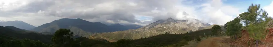
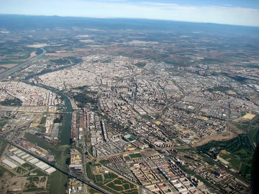
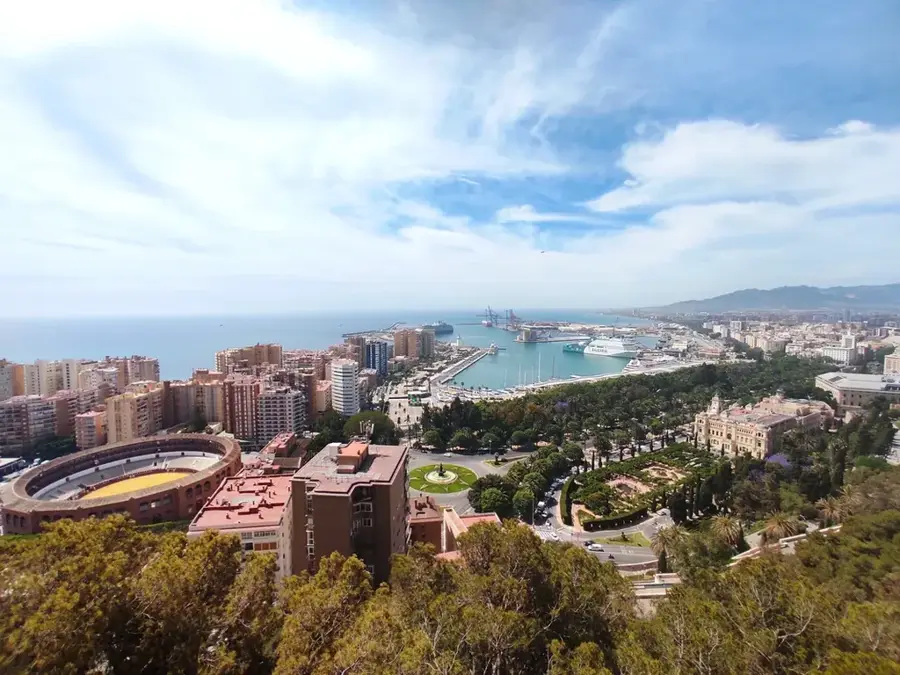
Sierra de las Nieves National Park is located in the province of Málaga, Andalusia, and was officially declared Spains sixteenth national park in 2021. The region is world-renowned for hosting the largest forests of the Spanish fir (Abies pinsapo), a botanical relic from the ice age that grows only in a few mountainous areas of southern Spain and northern Morocco. The landscape is characterized by rugged limestone formations, deep gorges, and complex cave systems, including the Sima de la Cornisa, one of the deepest vertical shafts in the world. Its highest peak is the Torrecilla, reaching 1,919 meters, which is frequently covered in snow during winter, giving the park its name. Beyond its botanical richness, the park provides a habitat for mountain goats, golden eagles, and many other protected species. UNESCO designated the area a Biosphere Reserve in 1995, highlighting its international ecological importance.
- Location: Galicia, Spain
- Top sights: Parque Natural de la Sierra de las Nieves · Cerro Corona · Mirador Luis Ceballos
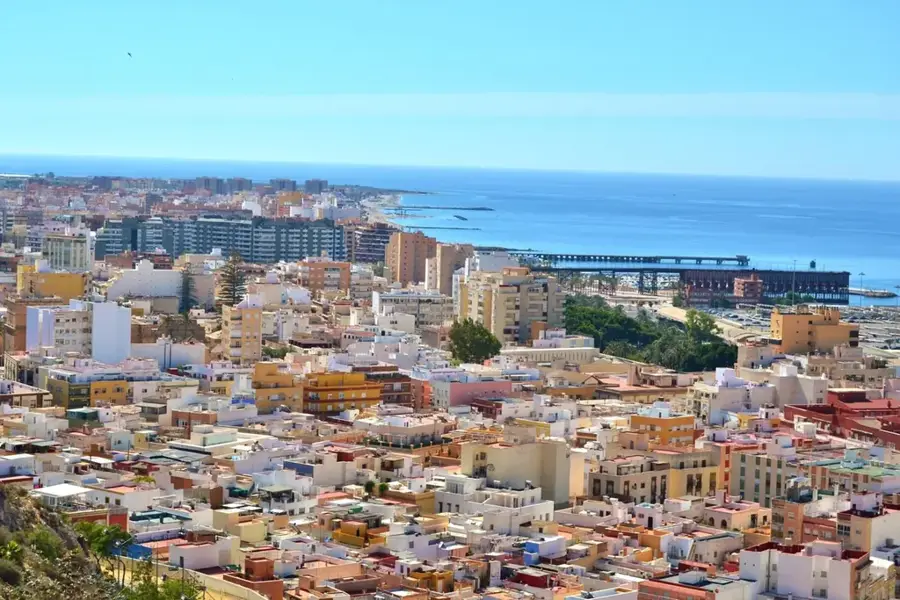
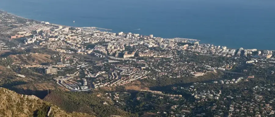
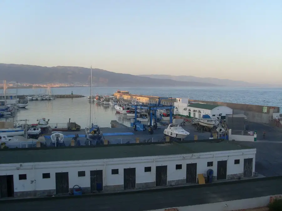
- Nearby: Coín (18 km)
Best time to visit & climate
The most pleasant time to visit is Jun, Jul, Sep.
| Jan | Feb | Mar | Apr | May | Jun | Jul | Aug | Sep | Oct | Nov | Dec | |
|---|---|---|---|---|---|---|---|---|---|---|---|---|
| Avg °C | 11 | 12 | 13 | 15 | 18 | 22 | 25 | 25 | 22 | 19 | 14 | 12 |
| Rain mm | 61 | 62 | 75 | 55 | 27 | 3 | 1 | 3 | 28 | 69 | 90 | 81 |
📋 Practical info
Geography
Facts
- Declared a national park in 2021
- Highest peak is Torrecilla (1,919 m)
- Home to the rare Spanish fir trees
- Covers roughly 23,000 hectares
- UNESCO Biosphere Reserve since 1995
- Contains some of the worlds deepest caves
Explore nearby
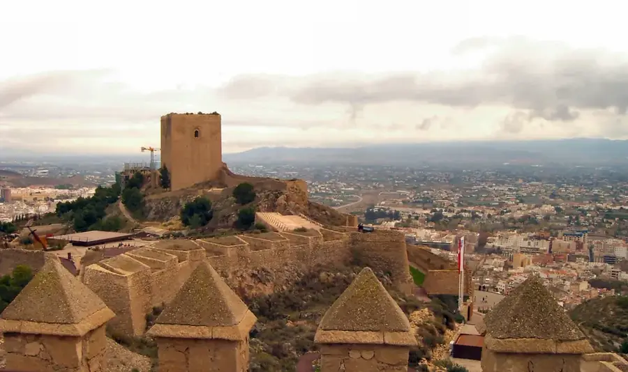
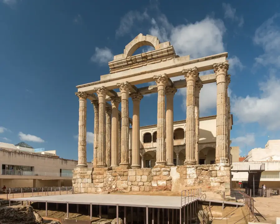
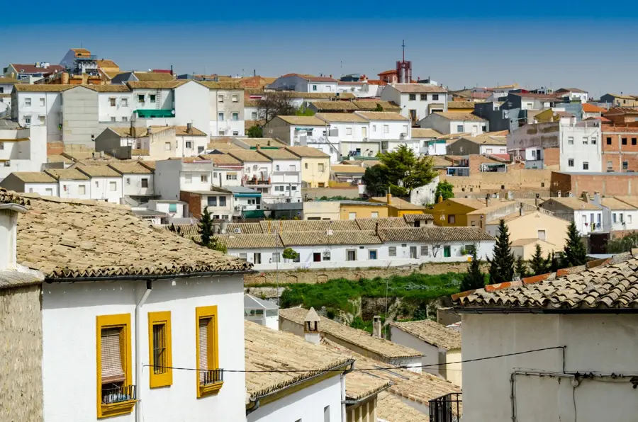
Notable places around
Route planner — Car & Motorhome
Where do you start? We build the route here, with stops and country notes along the way.
© OpenStreetMap contributors · OpenRouteService
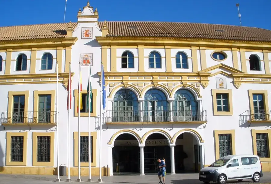
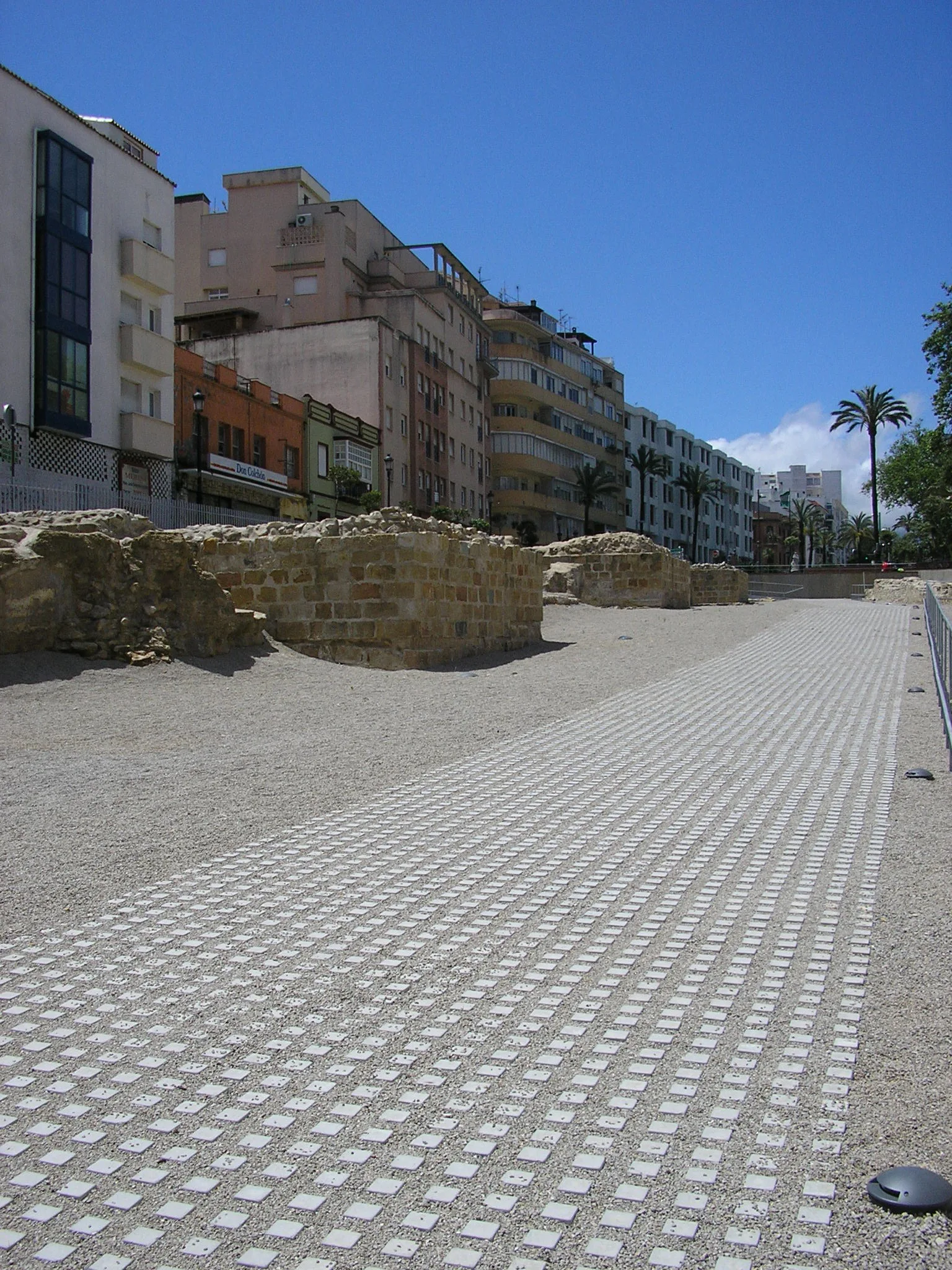
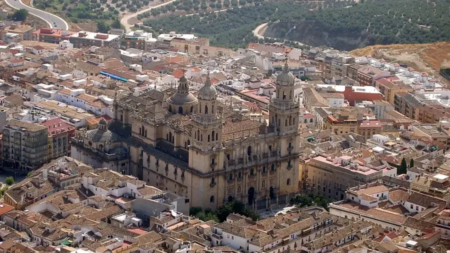
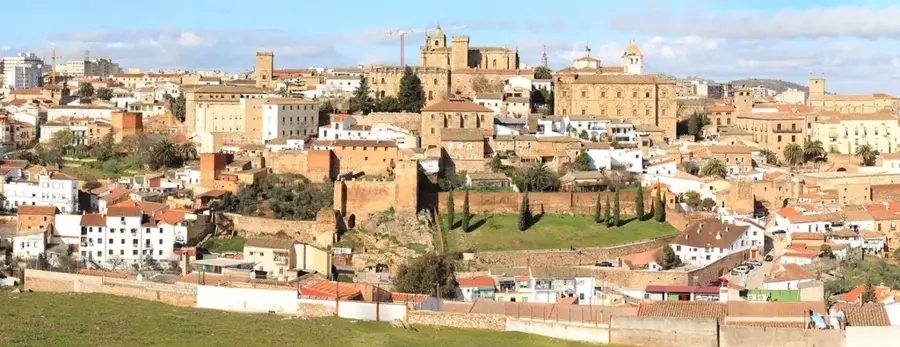
Sights in the town Sierra de las Nieves National Park (4)
Sights nearby
Frequently asked questions
What is special about this park?
Where are the main entrances?
What is the highest peak?
Is there snow in winter?
Is the park suitable for hiking?
Sierra de las Nieves National Park: where is it located?
Sierra de las Nieves National Park: what is there to see?
Sierra de las Nieves National Park: when is the best time to visit?
Sierra de las Nieves National Park: why is it worth visiting?

Nearby cities