Plizio Visual Lab
Sierra de Ayllón
Weather…
Water temperature…
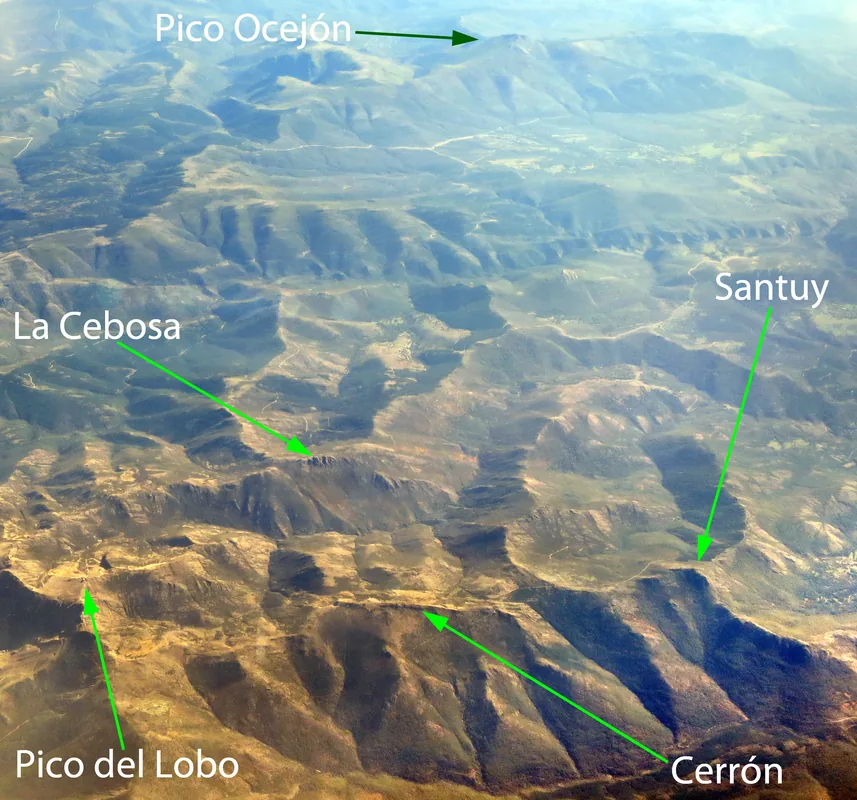
The Sierra de Ayllón forms the eastern segment of Spain's Central System, extending across the provinces of Guadalajara, Segovia, and Madrid. This mountain range is distinguished by its geological composition, where slate and quartzite dominate the landscape, giving it a dark and rugged appearance. With Pico del Lobo as its highest peak (2,224 meters), the Sierra acts as a crucial watershed for central Spain, serving as the source for rivers like the Jarama and Sorbe. A unique feature is the Hayedo de Tejera Negra, one of Europe's southernmost beech forests and a UNESCO World Heritage site. The region is sparsely populated and famous for its 'Black Villages' (Pueblos Negros), built entirely from dark local slate. The mountain climate brings cold, snowy winters and short, mild summers, supporting specialized high-altitude flora and fauna.
- Location: Galicia, Spain
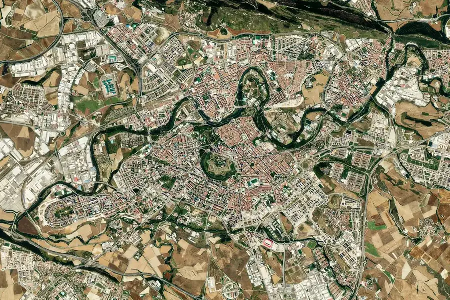
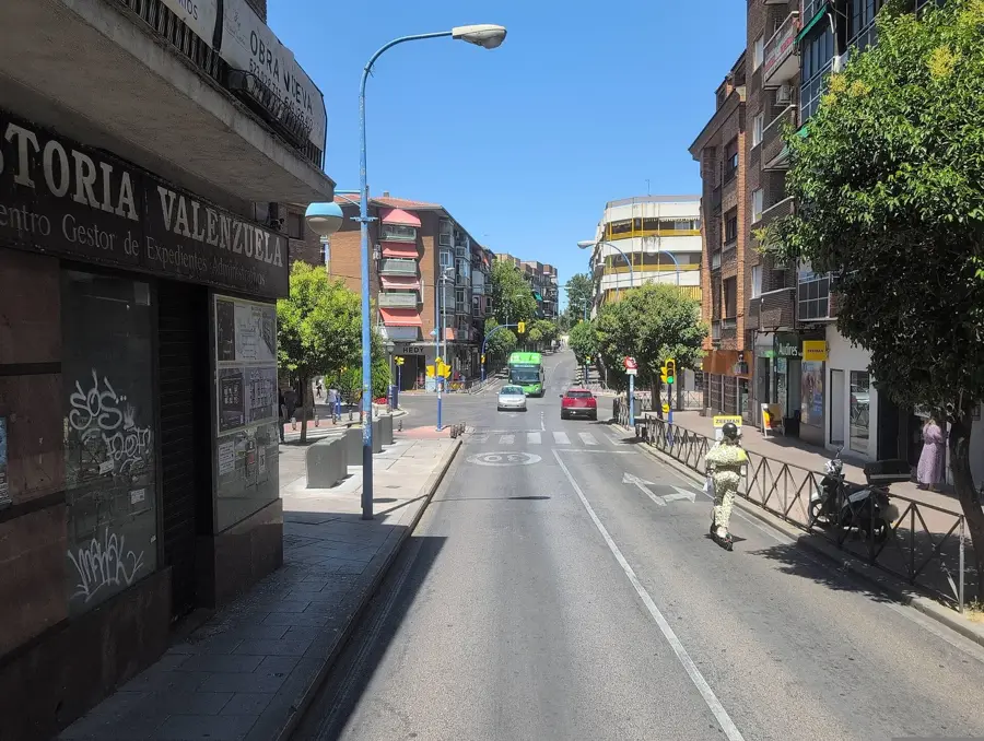
- Nearby: San Agustín del Guadalix (57 km)
Best time to visit & climate
The most pleasant time to visit is Jun–Aug.
| Jan | Feb | Mar | Apr | May | Jun | Jul | Aug | Sep | Oct | Nov | Dec | |
|---|---|---|---|---|---|---|---|---|---|---|---|---|
| Avg °C | 2 | 3 | 6 | 9 | 13 | 19 | 22 | 22 | 17 | 12 | 6 | 3 |
| Rain mm | 48 | 44 | 53 | 59 | 51 | 30 | 13 | 17 | 27 | 72 | 63 | 49 |
📋 Practical info
Geography
Facts
- Pico del Lobo is the highest peak in the province of Guadalajara at 2,274 meters.
- The Tejera Negra beech forest core area covers approximately 400 hectares.
- The mountain range stretches for a length of about 40 kilometers.
- The region is home to significant nesting colonies of Griffon vultures.
- The 'Black Villages,' such as Campillo de Ranas, are architecturally unique.
- Remnants of glacial cirques can be found within the Sierra de Ayllón.
Explore nearby
Notable places around
Route planner — Car & Motorhome
Where do you start? We build the route here, with stops and country notes along the way.
© OpenStreetMap contributors · OpenRouteService
Sights nearby
Frequently asked questions
What are the 'Black Villages' (Pueblos Negros)?
Where is the Hayedo de Tejera Negra beech forest located?
Which peak is the highest in this range?
Is a reservation needed for the beech forest?
Can you ski there?
Sierra de Ayllón: where is it located?
Sierra de Ayllón: when is the best time to visit?
Sierra de Ayllón: why is it worth visiting?

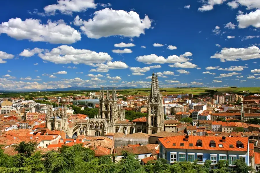
Nearby cities