Plizio Visual Lab
Sierra de Guadarrama
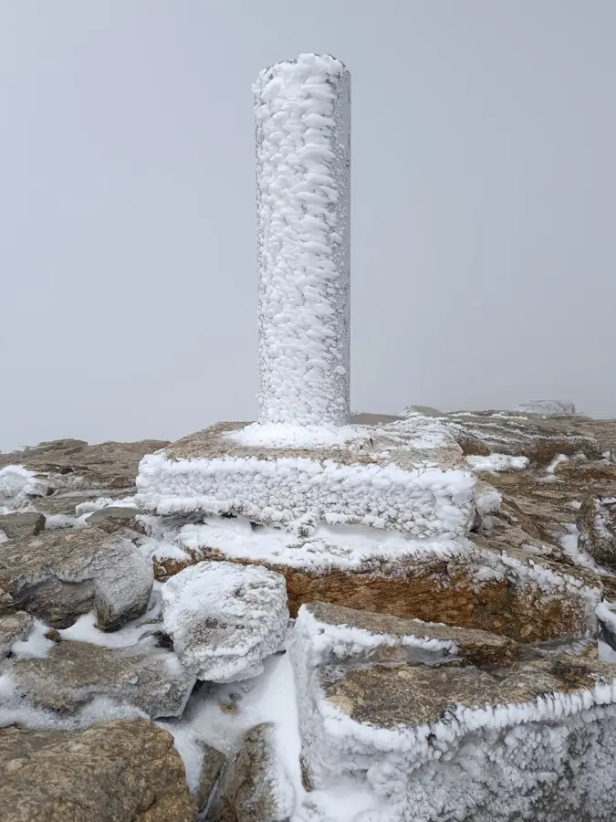
The Sierra de Guadarrama is a prominent mountain range within the Central System of the Iberian Peninsula, stretching across the provinces of Madrid and Segovia. Its highest peak, Peñalara, reaches an elevation of 2,428 meters and is surrounded by glacial cirques and small alpine lakes carved during the last ice age. A significant portion of the range was designated as a national park in 2013 to protect its highly valued ecosystems, which transition from vast forests of native Scots pine in the lower valleys to rugged alpine meadows above the tree line. Because of its proximity to the Spanish capital, the Sierra de Guadarrama is one of the most visited natural retreats in Spain, offering an extensive network of hiking trails, ski resorts, and historic mountain passes. Furthermore, the mountains provide a vital sanctuary for endemic and endangered wildlife, including the Spanish imperial eagle, the cinereous vulture, and a thriving population of Iberian ibex adapted to the rocky terrain.
- Location: Galicia, Spain
- Top sights: ZEPA Alto Lozoya · Parque Nacional de la Sierra de Guadarrama
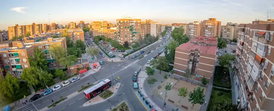
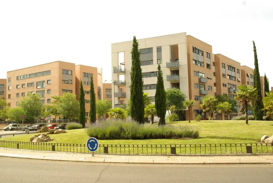
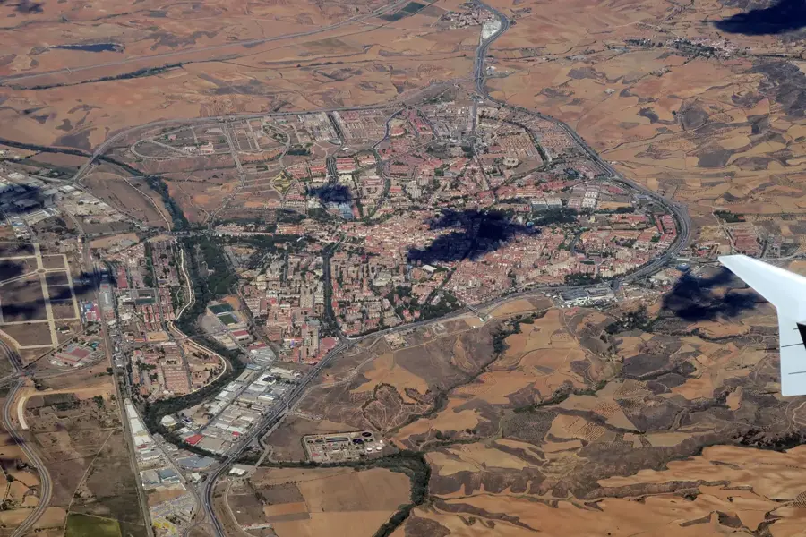
- Nearby: Manzanares el Real (16 km)
Best time to visit & climate
The most pleasant time to visit is Jun–Aug.
| Jan | Feb | Mar | Apr | May | Jun | Jul | Aug | Sep | Oct | Nov | Dec | |
|---|---|---|---|---|---|---|---|---|---|---|---|---|
| Avg °C | 2 | 3 | 6 | 9 | 13 | 19 | 22 | 22 | 17 | 12 | 6 | 3 |
| Rain mm | 48 | 44 | 53 | 59 | 51 | 30 | 13 | 17 | 27 | 72 | 63 | 49 |
📋 Practical info
Geography
Explore nearby
Notable places around
Route planner — Car & Motorhome
Where do you start? We build the route here, with stops and country notes along the way.
© OpenStreetMap contributors · OpenRouteService
Sights in the town Sierra de Guadarrama (2)
Sights nearby
Frequently asked questions
How far is the park from Madrid?
Can you ski here in winter?
What is the highest peak?
Are there guided hikes?
Are dogs allowed in the park?
Sierra de Guadarrama: where is it located?
Sierra de Guadarrama: what is there to see?
Sierra de Guadarrama: when is the best time to visit?
Sierra de Guadarrama: why is it worth visiting?

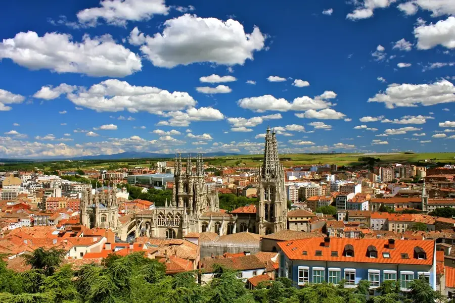
Nearby cities