Plizio Visual Lab
Ebro Basin
Weather…
Water temperature…
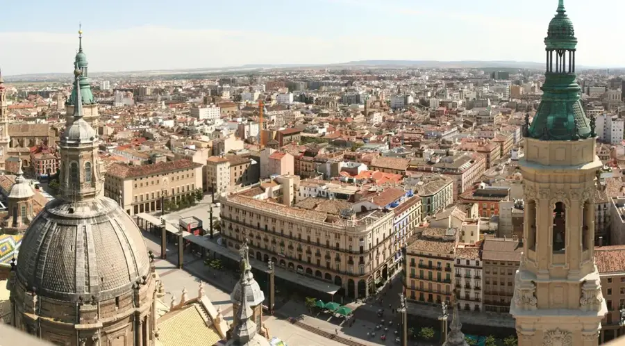
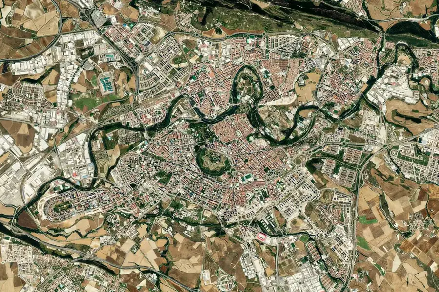
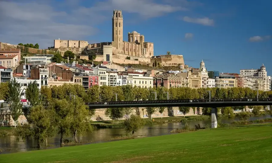
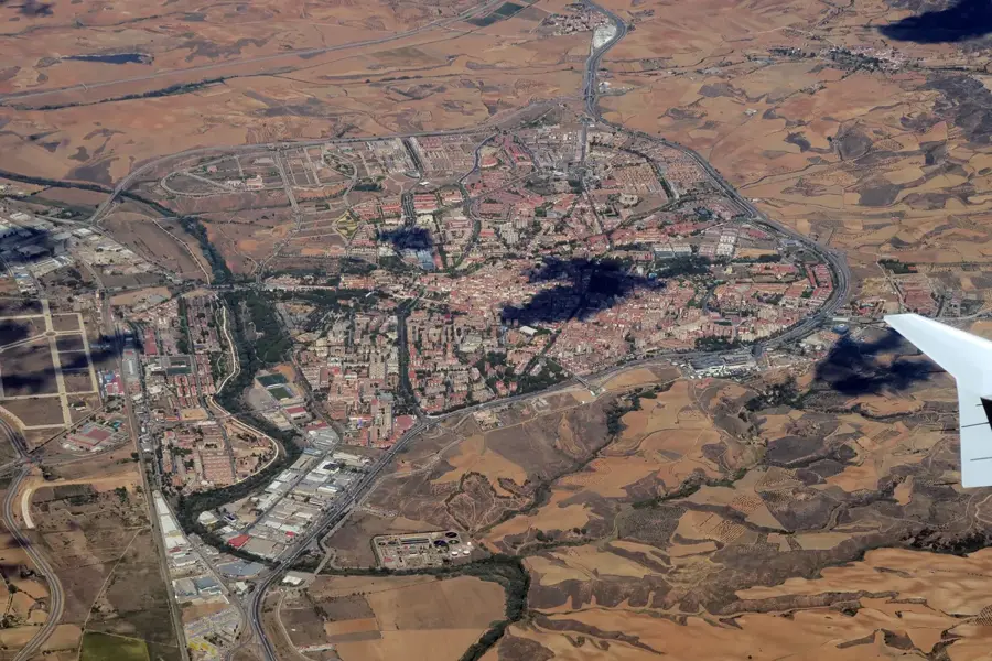
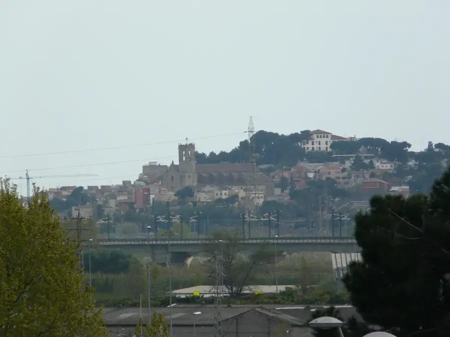
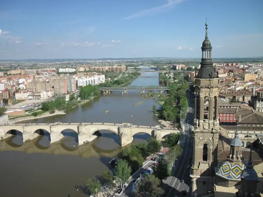
The Ebro Basin, also known as the Ebro Depression, is a vast, triangular sedimentary plain in northeastern Spain, strictly defined by the formidable barriers of the Pyrenees to the north, the Iberian System to the south, and the Catalan Coastal Ranges to the east. Formed during the Cenozoic era, this structural depression was once an inland sea that gradually filled with thick layers of sediment, including evaporites like gypsum and salt, which today contribute to its unique geomorphology characterized by flat-topped mesas known as muelas and badlands landscapes. The Ebro River, the most voluminous river entirely within Spanish territory, flows through the heart of the basin, acting as a vital corridor that has shaped the region's human and natural history through its extensive alluvial terraces. The climate is notoriously continental with semi-arid characteristics, dominated by the Cierzo, a cold and dry northwesterly wind that accelerates through the valley, significantly impacting local agriculture and biodiversity. While the central areas host desolate and hauntingly beautiful desert-like expanses such as the Bardenas Reales, the river's waters, managed through complex historical irrigation systems like the Imperial Canal of Aragon, have transformed large tracts of land into Spain's most productive orchards and vineyards, particularly in the world-renowned Rioja region. Historically, the basin has functioned as a primary transit route connecting the Mediterranean coast with the Cantabrian Sea and the inner Meseta, fostering the growth of major administrative and cultural hubs like Zaragoza, which stands as a testament to the strategic importance of this fertile yet climatically harsh lowland.
- Location: Galicia, Spain
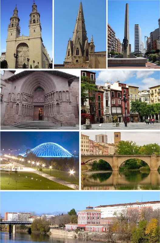
- Top sights: Iglesia de San Pedro · Antiguas esclusas
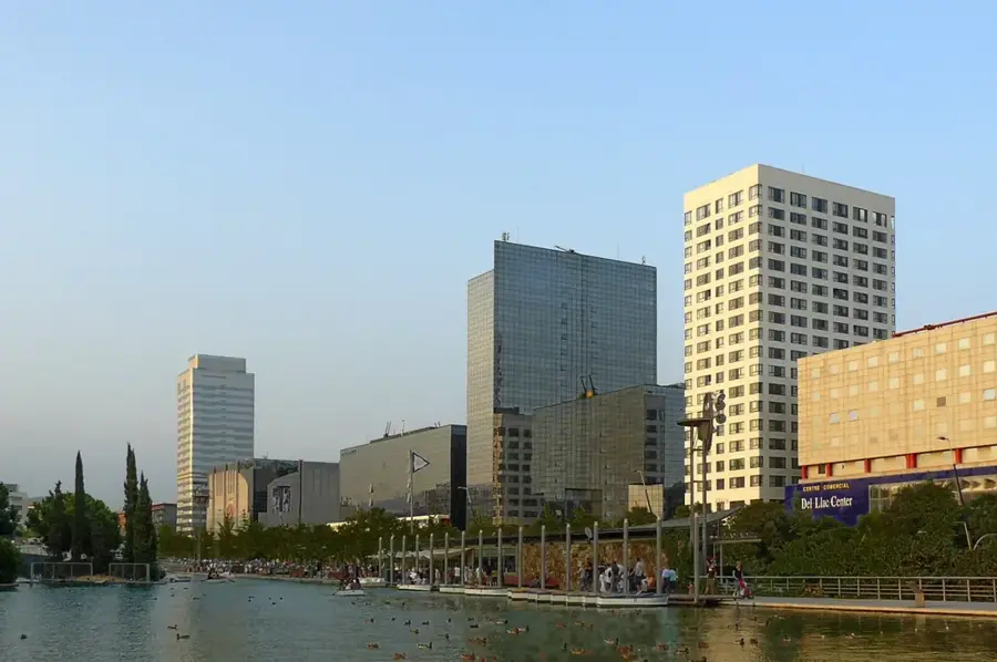
- Nearby: Zaragoza (9 km)
Best time to visit & climate
The most pleasant time to visit is Jun, Aug, Sep.
| Jan | Feb | Mar | Apr | May | Jun | Jul | Aug | Sep | Oct | Nov | Dec | |
|---|---|---|---|---|---|---|---|---|---|---|---|---|
| Avg °C | 5 | 6 | 9 | 12 | 16 | 21 | 24 | 24 | 19 | 15 | 9 | 6 |
| Rain mm | 25 | 22 | 34 | 44 | 43 | 35 | 18 | 17 | 27 | 38 | 37 | 19 |
📋 Practical info
Geography
Facts
- Total Area: The basin covers approximately 85,000 square kilometers.
- River Length: The Ebro is the longest river entirely in Spain at 910 km.
- Formation Era: Developed during the Tertiary/Cenozoic sedimentary cycle.
- Cierzo Wind: A persistent NW wind that can peak at over 100 km/h.
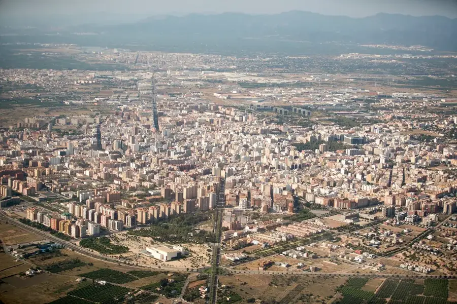
- Major City: Zaragoza serves as the regional hub with 680,000 residents.
- Agricultural Output: Source of roughly 25% of Spain's vegetable production.
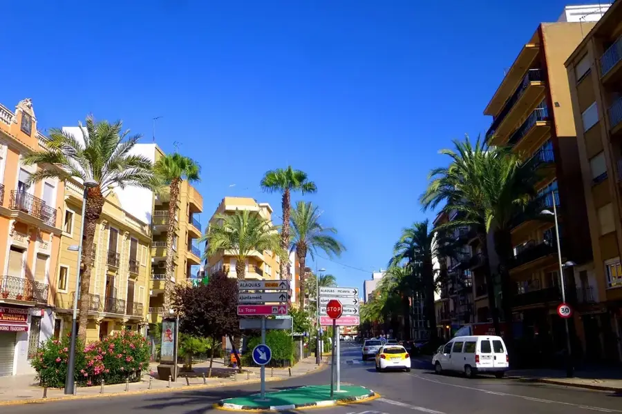
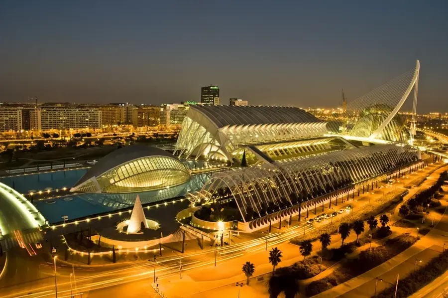
Explore nearby
Notable places around
Route planner — Car & Motorhome
Where do you start? We build the route here, with stops and country notes along the way.
© OpenStreetMap contributors · OpenRouteService
Sights in the town Ebro Basin (2)
Sights nearby
Frequently asked questions
Where is the Ebro Basin located?
What is the land primarily used for?
Which major river flows through it?
Is the climate there rather dry?
Are there desert-like landscapes?
Ebro Basin: where is it located?
Ebro Basin: what is there to see?
Ebro Basin: when is the best time to visit?
Ebro Basin: why is it worth visiting?

Nearby cities