Plizio Visual Lab
Outeniqua Mountains
Weather…
Water temperature…
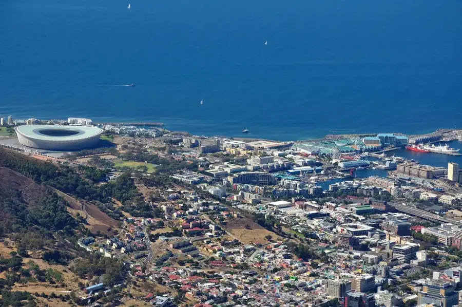
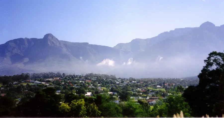
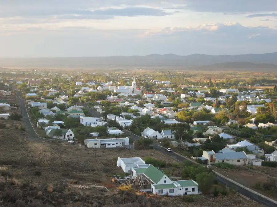
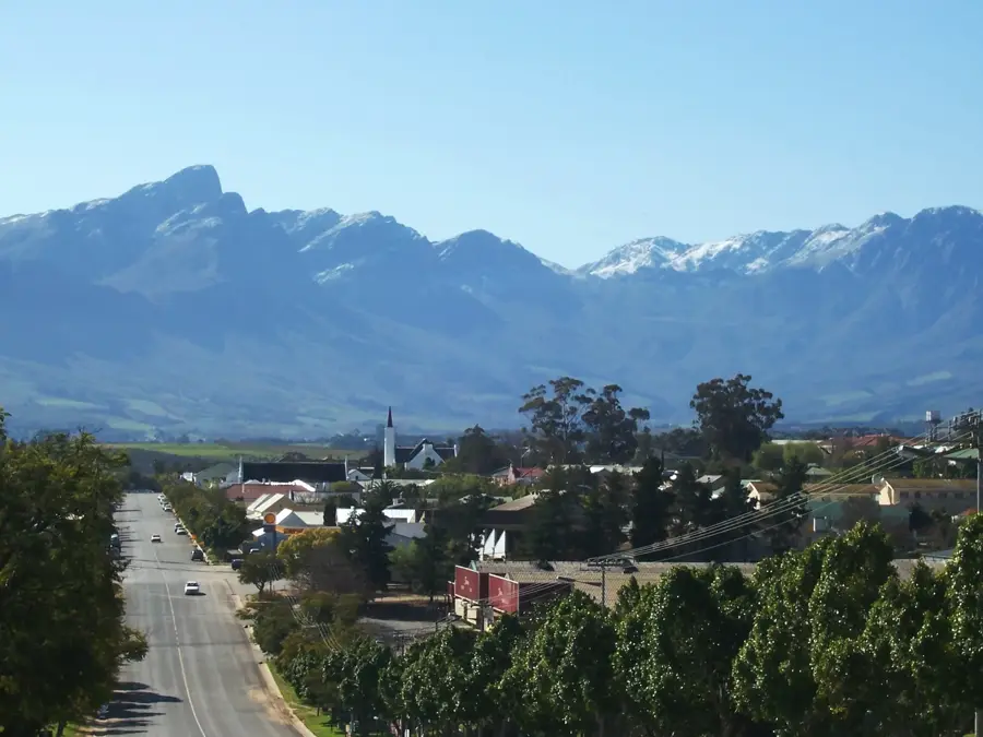
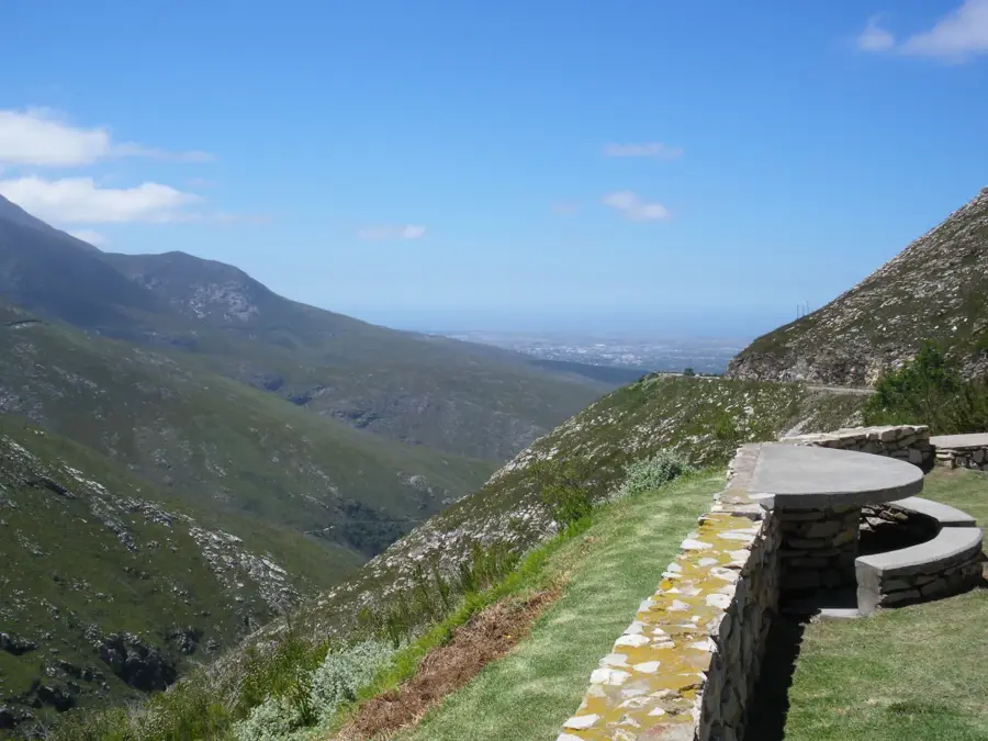
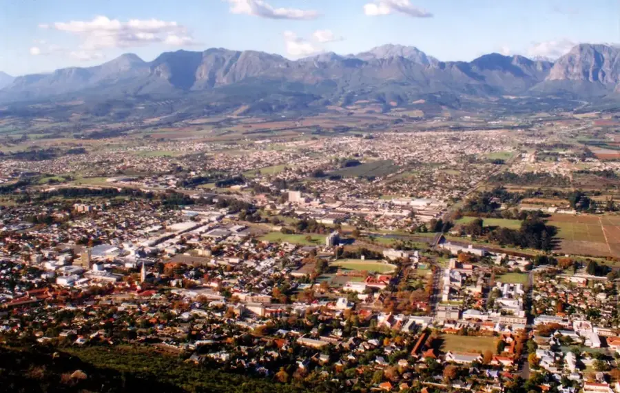
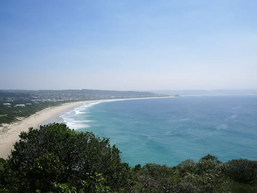
The Outeniqua Mountains run parallel to the southern coast of South Africa, creating a formidable barrier between the lush Garden Route and the semi-arid Little Karoo. The name Outeniqua is derived from the Khoisan language, meaning people laden with honey, a reference to the abundance of wildflowers and wild bees found by the original inhabitants. The range's highest point is Cradock Peak, standing at 1578 meters, which towers over the town of George. The southern slopes receive high rainfall, supporting dense indigenous forests and rich fynbos, while the northern rain shadow slopes are characterized by karroid scrub. Historically, these mountains were a major obstacle to inland travel, until the completion of the Montagu Pass in 1848 revolutionized transport in the region. The railway line that winds through the range was once home to the famous Outeniqua Choo Tjoe steam train and is considered one of the most scenic in the world. Nowadays, the mountains are a protected conservation area, popular for hiking, mountain biking, and birdwatching.
- Location: South Africa
- Top sights: Kransberg · Tierkop · George Peak
- Nearby: George (8 km)
Best time to visit & climate
The most pleasant time to visit is Jan, Feb, Dec.
| Jan | Feb | Mar | Apr | May | Jun | Jul | Aug | Sep | Oct | Nov | Dec | |
|---|---|---|---|---|---|---|---|---|---|---|---|---|
| Avg °C | 21 | 21 | 20 | 18 | 16 | 14 | 14 | 14 | 15 | 17 | 18 | 20 |
| Rain mm | 34 | 35 | 49 | 40 | 31 | 38 | 38 | 52 | 35 | 43 | 51 | 34 |
📋 Practical info
Geography
Facts
- The highest peak in the range is Cradock Peak at 1578 meters above sea level.
- Montagu Pass was opened in 1848 and was the first major road over the mountains.
- The Outeniqua Pass was completed in 1951 to accommodate larger vehicles.
- The mountains are primarily composed of 400-million-year-old sandstone.
- The range receives over 800mm of rain annually on its southern slopes.
- The indigenous forests in the foothills are some of the largest in South Africa.
Explore nearby
Notable places around
Route planner — Car & Motorhome
Where do you start? We build the route here, with stops and country notes along the way.
© OpenStreetMap contributors · OpenRouteService
Sights in the town Outeniqua Mountains (4)
Sights nearby
Frequently asked questions
How difficult is hiking in the Outeniqua Mountains?
What is the best time of year to visit?
Are there parking facilities at the trails?
Are there public toilets or restaurants?
What is the weather risk in the mountains?
Outeniqua Mountains: where is it located?
Outeniqua Mountains: what is there to see?
Outeniqua Mountains: when is the best time to visit?
Outeniqua Mountains: why is it worth visiting?

Nearby cities


History & landmarks