Plizio Visual Lab
Kolombangara Forest

Weather…
Water temperature…
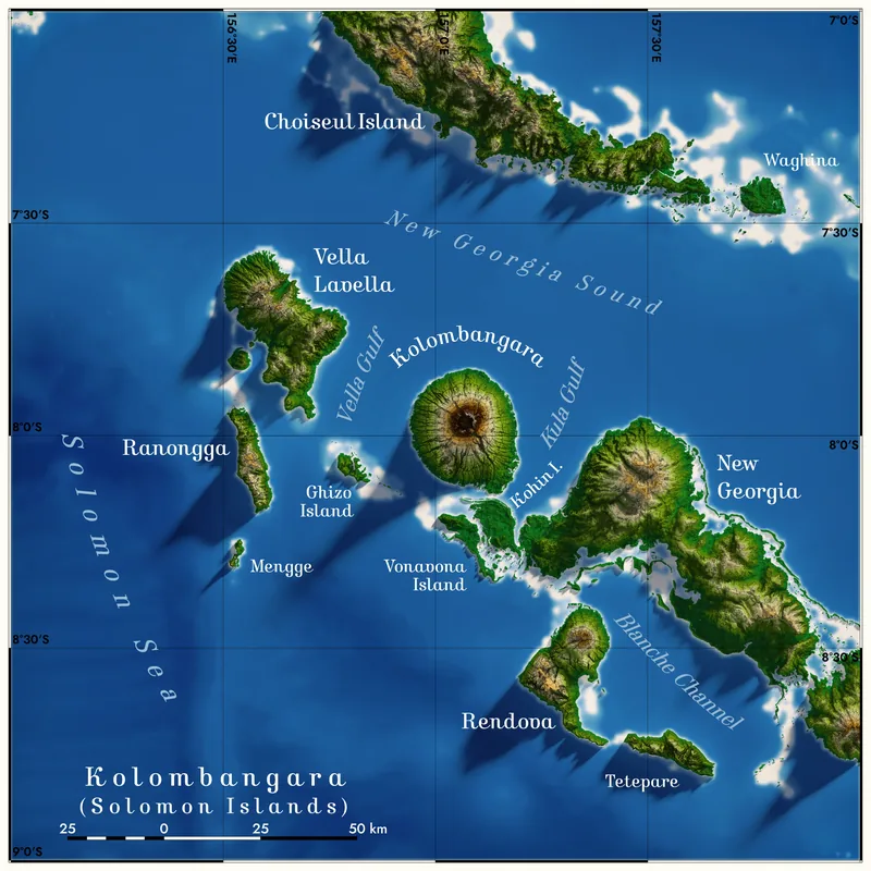
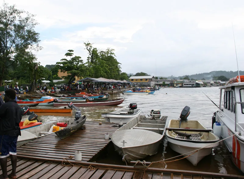
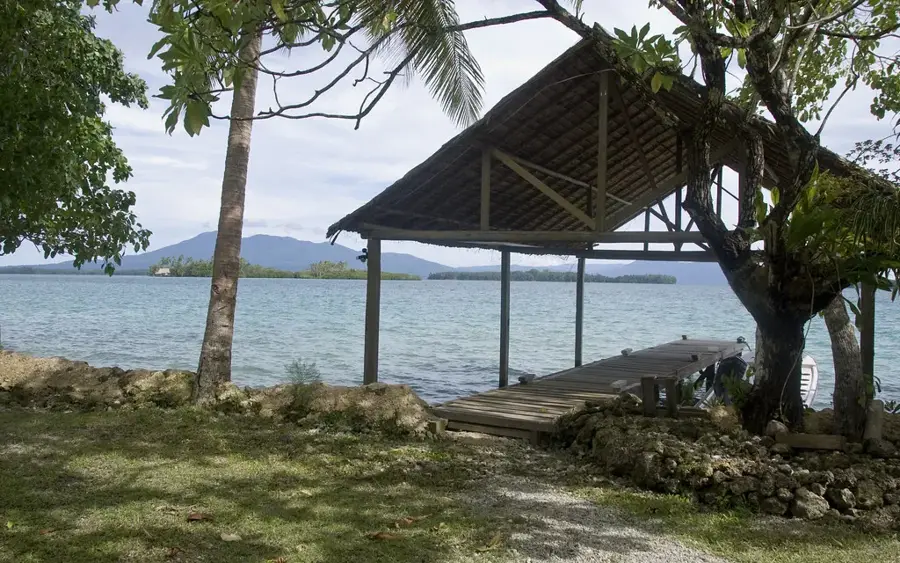
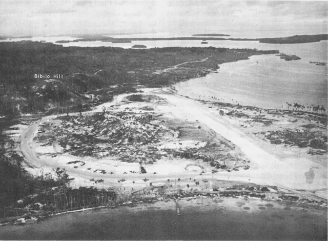
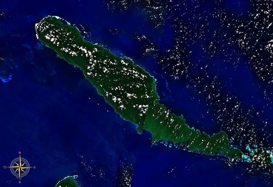
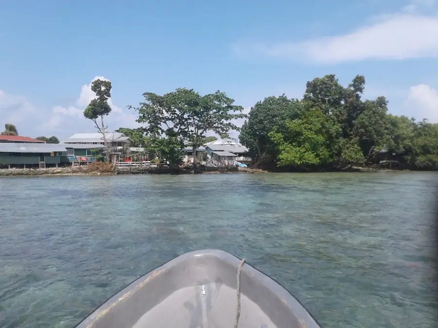
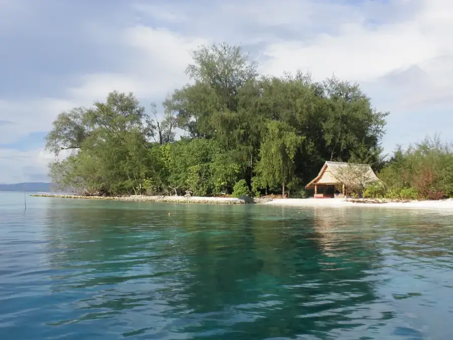
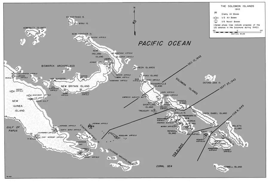
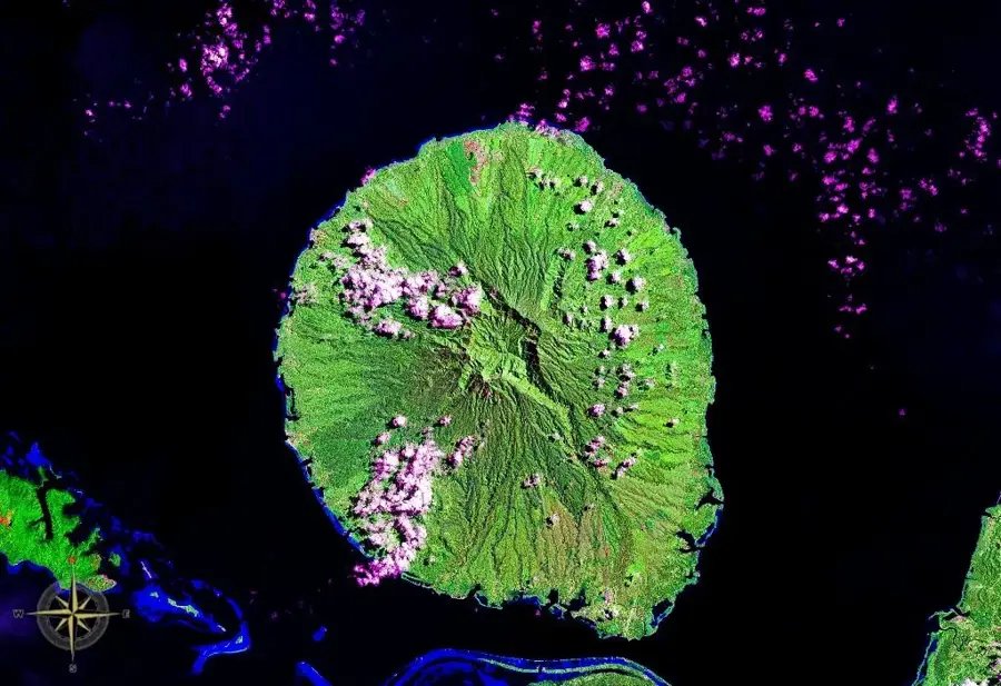
The Kolombangara Forest covers the slopes of a near-perfectly circular extinct volcano in the Western Province, rising to a height of 1,770 meters. This unique environment features a complete succession of tropical ecosystems, from coastal mangroves to high-altitude moss forests. The area is managed by the Kolombangara Island Biodiversity Conservation Association (KIBCA), which successfully advocated for the protection of all forests above 400 meters. These woods are a critical sanctuary for endemic wildlife, including the rare Kolombangara white-eye and several unique species of frogs and lizards. The volcano's central crater, about four kilometers wide, forms a massive natural amphitheater that is largely unexplored and biologically distinct. Historically, the island was a strategic stronghold for Japanese forces during World War II, and relics of this era can still be found hidden beneath the forest canopy. Today, Kolombangara is a premier destination for birdwatchers, hikers, and researchers focused on island ecology. The forest's preservation is vital for maintaining the island's watershed and the cultural heritage of the local inhabitants, who revere the mountain as a source of life.
- Location: Solomon Islands
- Top sights: Mount Veve · Kolombangara · Battle of Kula Gulf
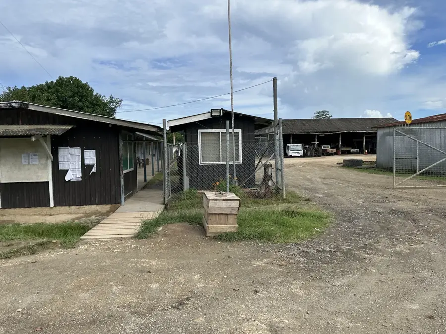
- Nearby: Poitete (9 km)
Best time to visit & climate
The most pleasant time to visit is Aug, Nov, Dec.
| Jan | Feb | Mar | Apr | May | Jun | Jul | Aug | Sep | Oct | Nov | Dec | |
|---|---|---|---|---|---|---|---|---|---|---|---|---|
| Avg °C | 28 | 28 | 28 | 28 | 28 | 28 | 28 | 27 | 28 | 28 | 28 | 28 |
| Rain mm | 315 | 353 | 313 | 262 | 308 | 295 | 326 | 273 | 272 | 278 | 224 | 229 |
📋 Practical info
Geography
Facts
- Nearly circular extinct volcano rising to 1,770 meters
- All forest above 400m elevation is a protected area
- Sole habitat of the endemic Kolombangara white-eye bird
- Features a massive 4km-wide central volcanic crater
- Managed by the community-led KIBCA organization
- A key site for high-altitude biodiversity research in Melanesia
Explore nearby
Notable places around
Route planner — Car & Motorhome
Where do you start? We build the route here, with stops and country notes along the way.
© OpenStreetMap contributors · OpenRouteService
Sights in the town Kolombangara Forest (3)
Sights nearby
Frequently asked questions
Are there hiking trails in the Kolombangara forest?
How difficult is the hike?
Do you need a permit?
Is there wildlife there?
What is the climate like in the forest?
Kolombangara Forest: where is it located?
Kolombangara Forest: what is there to see?
Kolombangara Forest: when is the best time to visit?
Kolombangara Forest: why is it worth visiting?

Nearby cities


History & landmarks

Nature
More places