Plizio Visual Lab
Mount Aureol
Weather…
Water temperature…
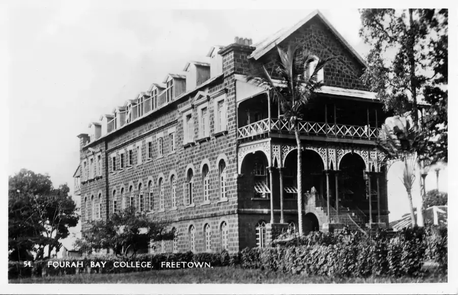
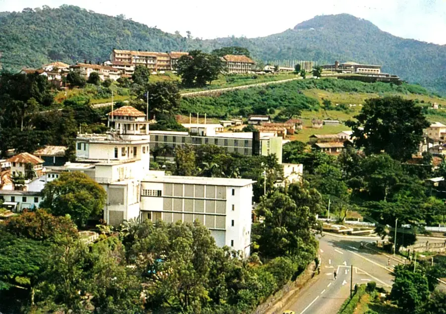
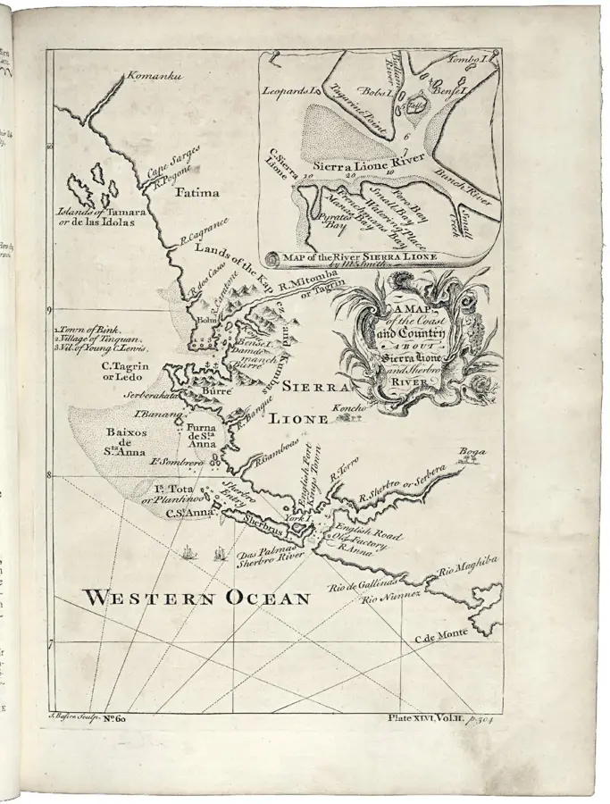
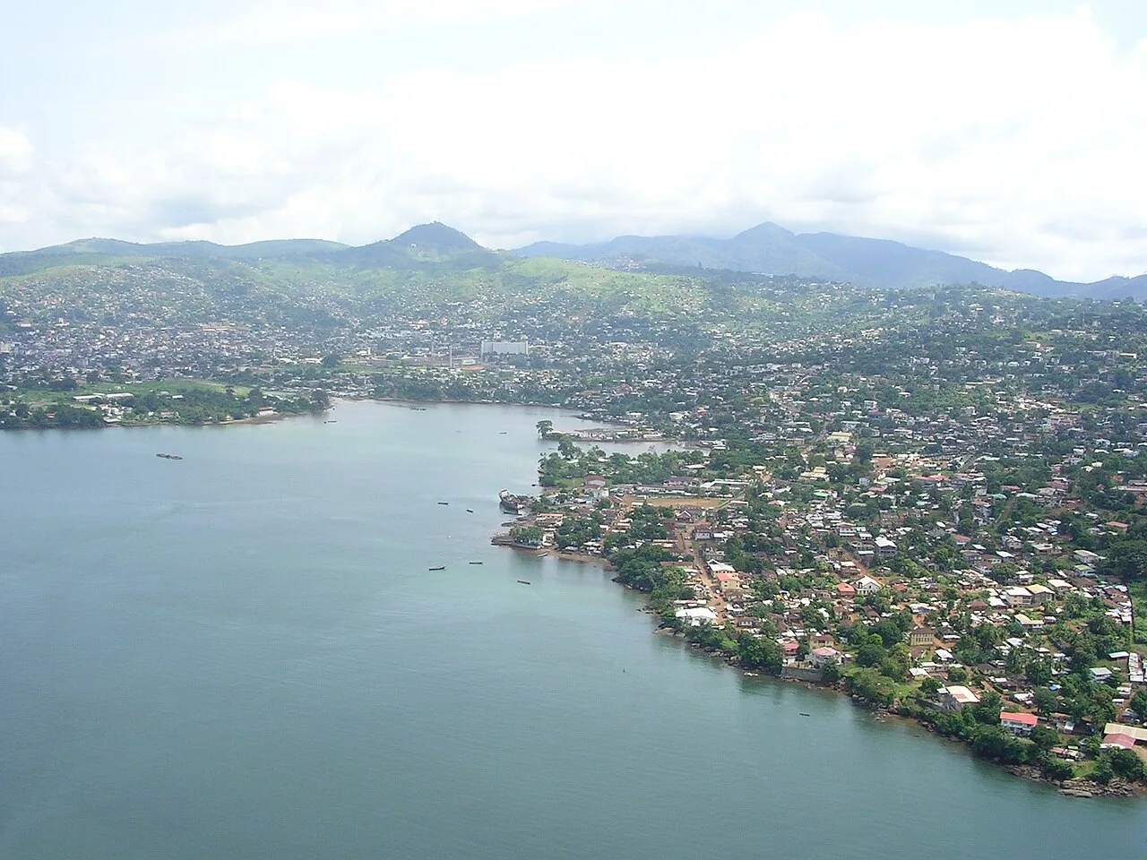
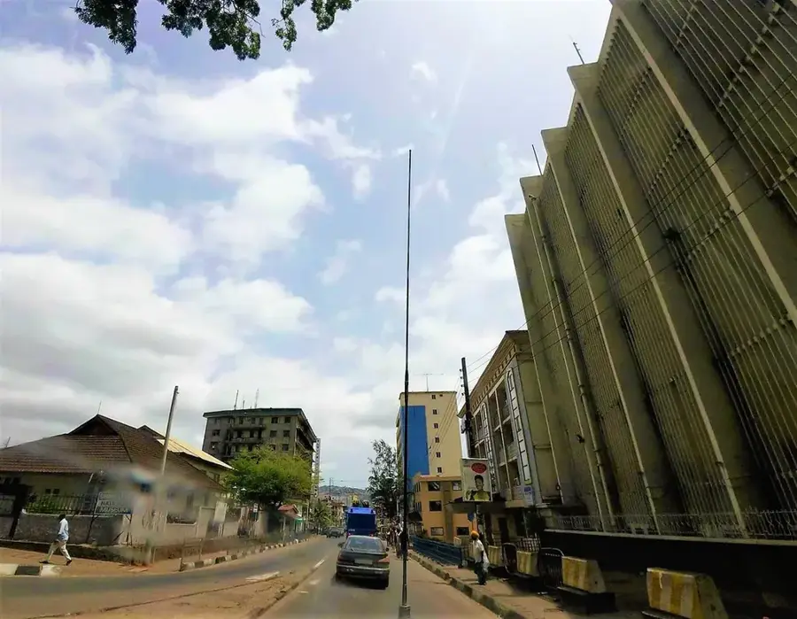
Mount Aureol is a prominent hill overlooking the skyline of Freetown, the capital of Sierra Leone. It is internationally recognized as the site of Fourah Bay College, the oldest university in West Africa, founded in 1827, which earned the country the reputation as the 'Athens of West Africa.' The hill features spectacular views of Freetown's natural harbor and the Atlantic Ocean. Geologically, Mount Aureol is composed of igneous rocks from the Freetown Layered Complex, a significant geological formation. While the lower slopes are densely populated, the higher elevations still retain remnants of original tropical vegetation, although urbanization puts heavy pressure on the natural habitat. In addition to its academic significance, Mount Aureol hosts important infrastructure facilities such as transmission towers and botanical gardens. The climb to the summit is popular with locals and students alike, providing a welcome respite from the heat of the lower-lying city districts.
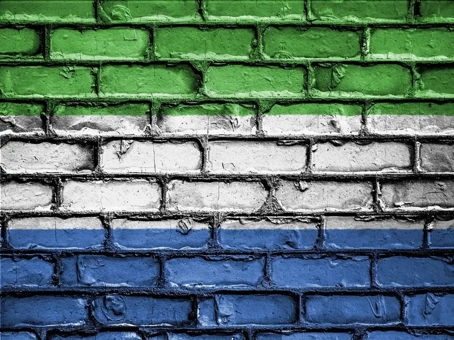
- Location: Sierra Leone
- Nearby: Goderich Beach (10 km)
Best time to visit & climate
The most pleasant time to visit is Jan, Feb, Dec.
| Jan | Feb | Mar | Apr | May | Jun | Jul | Aug | Sep | Oct | Nov | Dec | |
|---|---|---|---|---|---|---|---|---|---|---|---|---|
| Avg °C | 26 | 27 | 28 | 28 | 28 | 26 | 25 | 25 | 26 | 26 | 27 | 26 |
| Rain mm | 1 | 2 | 3 | 25 | 136 | 399 | 644 | 699 | 400 | 187 | 71 | 4 |
📋 Practical info
Geography
Facts
- Mount Aureol rises approximately 300 meters above sea level.
- Fourah Bay College moved to this specific location in 1848.
- The hill is part of the Freetown Peninsula mountain range.
- It overlooks the world's third-largest natural harbor.
- The average temperature on the hill is lower than in the city center below.
- The mountain hosts key telecommunications infrastructure for the nation.
Explore nearby
Notable places around
Route planner — Car & Motorhome
Where do you start? We build the route here, with stops and country notes along the way.
© OpenStreetMap contributors · OpenRouteService
Sights in the town Mount Aureol (1)
Sights nearby
Frequently asked questions
Can you climb Mount Aureol?
What view does the peak offer?
How long does the ascent take?
Are there facilities along the way?
Is it safe to hike the mountain?
Mount Aureol: where is it located?
Mount Aureol: when is the best time to visit?
Mount Aureol: why is it worth visiting?

Nearby cities


History & landmarks


More places