Plizio Visual Lab
Kent
ℹ️Practical info — Kent
▾
🌤 Weather — 5 days
📍 Nearby
Sights nearby
💡 Tips
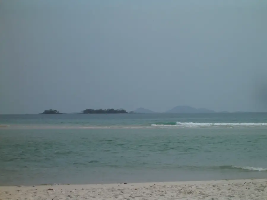
- The beach is beautiful but be mindful of strong tides when walking around the peninsula.
- Hire a local boat for a day trip to the nearby Banana Islands.
- The town features ruins from the colonial era; explore them in the early morning to avoid the heat.
- Bring mosquito repellent for the evenings, especially near the coast.
🍽 Food
Grilled simply at beachside shacks.
A traditional Sierra Leonean dish served with rice or fufu at local eateries.
Enjoy a cold local beer by the water.
🛍 Shopping · 🧘 Quiet spots
Buy directly from fishermen at the harbor in the early morning.
Local craftsmen sometimes sell their work near the main beach access.
Relatively uncrowded and peaceful compared to beaches closer to Freetown.
The journey on the water is incredibly relaxing.
Water temperature…
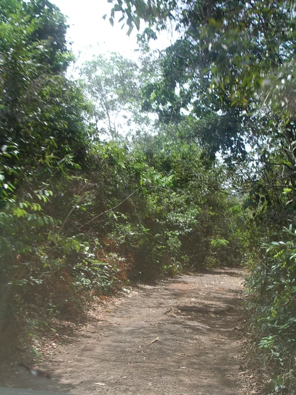
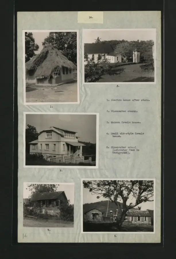
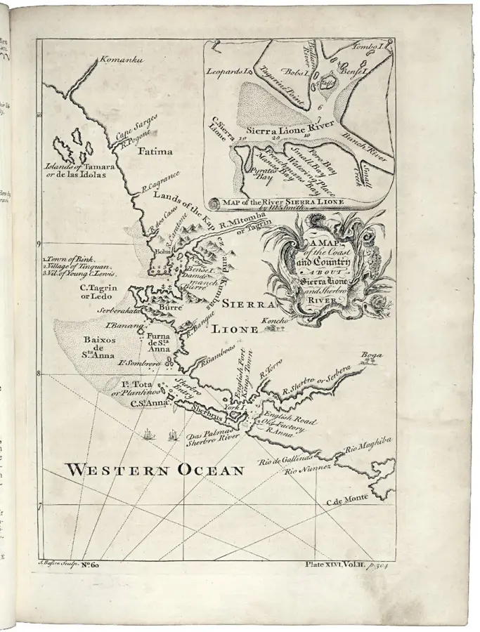
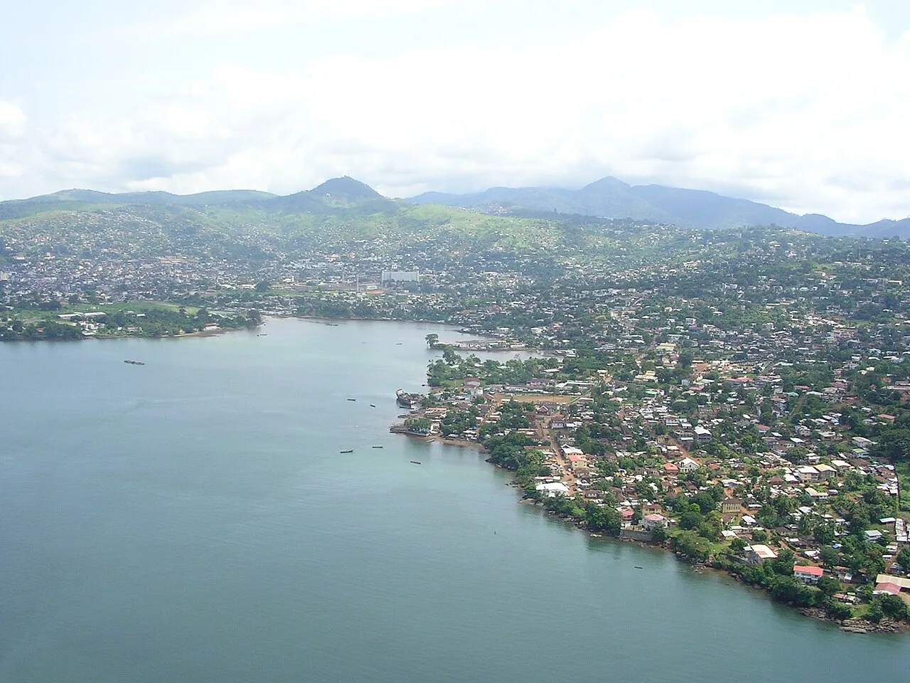
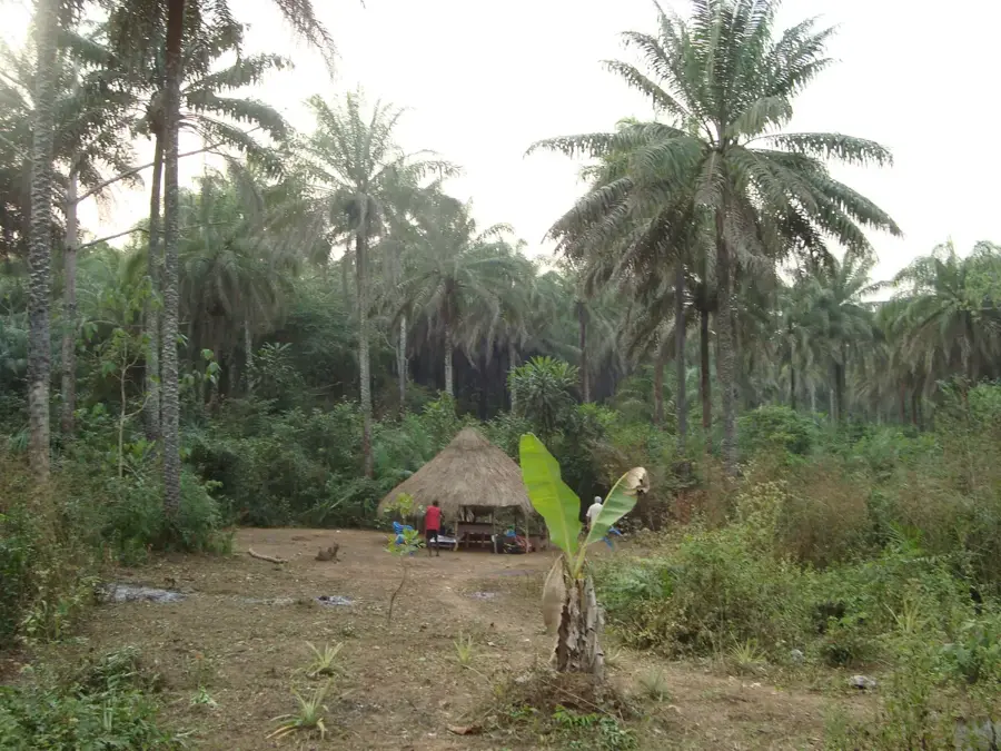
Kent is a historic Krio fishing village at the southern tip of Sierra Leone's Western Area Rural District, lying about 50 kilometers south-west of Freetown at the entrance to Yawri Bay. Like York, Kent was founded in the 19th century by freed African slaves resettled under British anti-slavery policy in planned villages along the peninsula. Characteristic features include the old Anglican church cross, colonial wooden houses on stone plinths, and a typical village core around the Methodist and Anglican chapels. Just off Kent lie the Banana Islands, a small but historically significant archipelago that served as an important harbor during the slave trade era and as a base for British ships fighting the illegal slave trade in the 18th and 19th centuries. Today Kent lives from fishing, boat transport to the Banana Islands, small hotels and restaurants, and a moderate but growing tourism sector that draws snorkelers, divers, and lovers of traditional Krio architecture. Several schools, a clinic, and a community hall serve the residents.
- Location: Sierra Leone
- Nearby: Bureh Beach (4 km)
- Population: ~1.804 (2019)
Best time to visit & climate
The most pleasant time to visit is Jan–Mar.
| Jan | Feb | Mar | Apr | May | Jun | Jul | Aug | Sep | Oct | Nov | Dec | |
|---|---|---|---|---|---|---|---|---|---|---|---|---|
| Avg °C | 27 | 27 | 27 | 27 | 28 | 27 | 26 | 26 | 26 | 26 | 27 | 27 |
| Rain mm | 3 | 2 | 5 | 29 | 136 | 397 | 592 | 612 | 419 | 210 | 66 | 7 |
Geography
Facts
- Founded in 1819 for the settlement of liberated Africans.
- Primary jumping-off point for ferries to the Banana Islands.
- Contains historical slave barracks and colonial-era ruins.
- Distinctive for its rocky coastline and local lighthouse.
- Once a strategic post for monitoring naval traffic.
- A popular hub for tourism, fishing, and water-based activities.
Explore nearby
Notable places around
Route planner — Car & Motorhome
Where do you start? We build the route here, with stops and country notes along the way.
© OpenStreetMap contributors · OpenRouteService
Sights in the town Kent (1)
Frequently asked questions
Why visit Kent?
Are there attractions in Kent?
What is the weather like in Kent?
Is Kent suitable for families?
Are there local accommodations?
Kent: where is it located?
Kent: when is the best time to visit?
Kent: why is it worth visiting?

Nearby cities
History & landmarks

More places