Plizio Visual Lab
Porto Alegre Mangrove

Weather…
Water temperature…
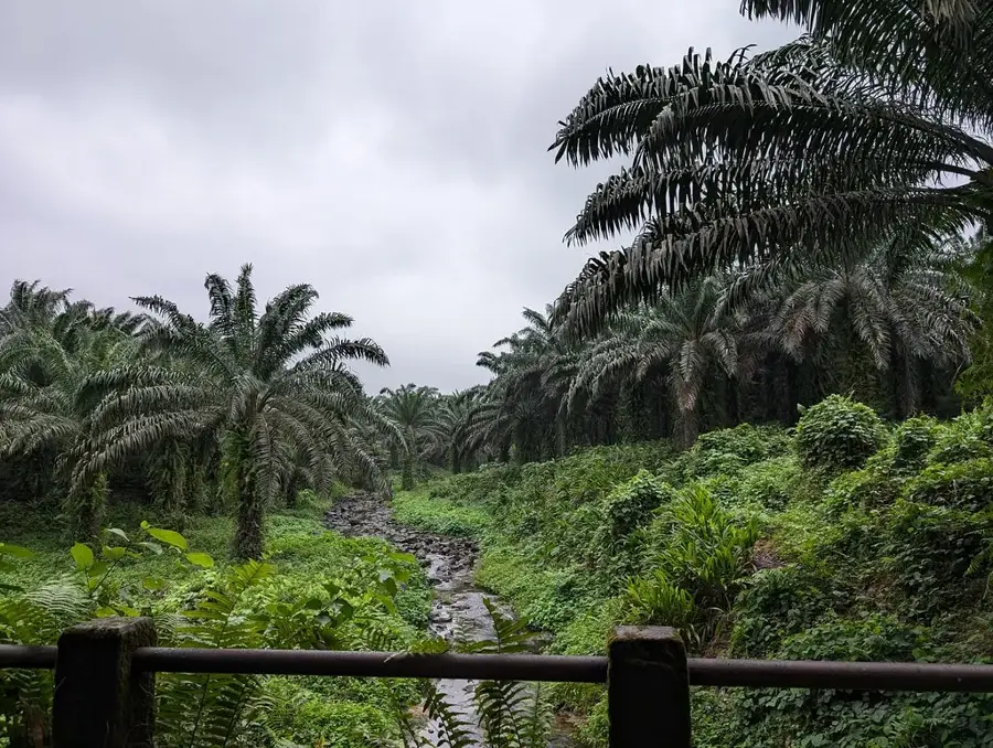
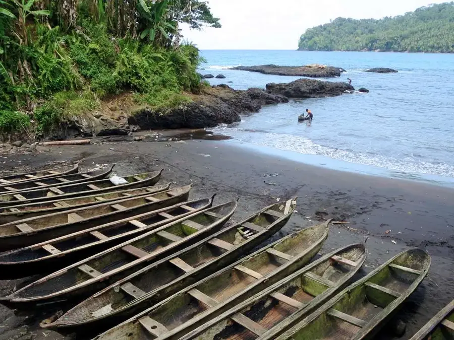
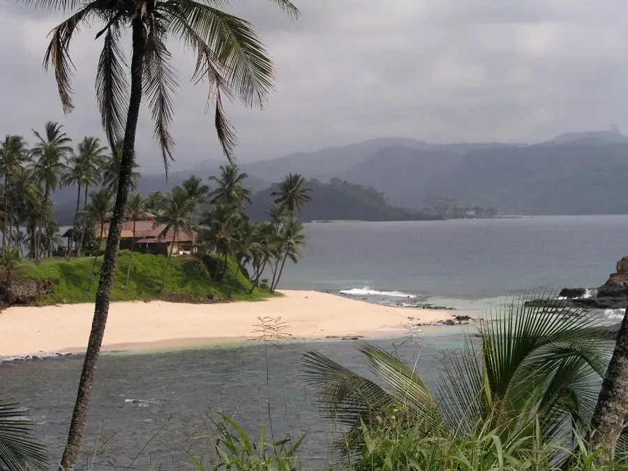
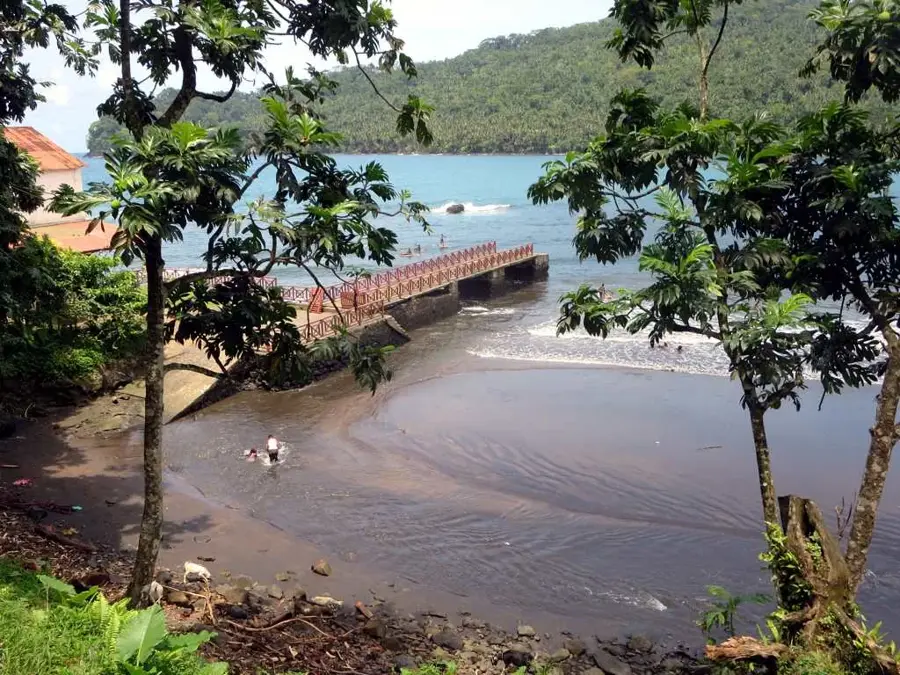
The Porto Alegre mangrove forest is located on the southern coast of São Tomé, in the estuaries of small rivers that flow into the Atlantic. This ecosystem is a crucial link between land and sea. The mangrove trees, with their characteristic stilt roots, have perfectly adapted to life in brackish water. The dense network of roots stabilizes the coastline, protects it from erosion by waves and storms, and filters sediments from land runoff, which improves the clarity of the seawater and protects the nearby coral reefs. At the same time, mangroves are an important 'nursery' for many species of fish, crabs, and shrimp, which find shelter and food here. They are also an important habitat for birds. An exploration by kayak or small boat provides fascinating insights into this complex and vital ecosystem.
- Location: São Tomé & Príncipe
- Nearby: Ribeira Peixe (9 km)
Best time to visit & climate
The most pleasant time to visit is Jul–Sep.
| Jan | Feb | Mar | Apr | May | Jun | Jul | Aug | Sep | Oct | Nov | Dec | |
|---|---|---|---|---|---|---|---|---|---|---|---|---|
| Avg °C | 27 | 28 | 28 | 28 | 27 | 25 | 24 | 25 | 25 | 26 | 26 | 27 |
| Rain mm | 132 | 120 | 162 | 162 | 104 | 29 | 14 | 12 | 22 | 81 | 134 | 133 |
📋 Practical info
Geography
Facts
- Most important mangrove ecosystem on São Tomé island.
- The predominant species is the red mangrove (Rhizophora mangle).
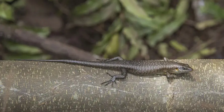
- The root system provides protection for juvenile barracudas and other fish.
- Important resting place for migratory birds.
- The local population collects crabs and shellfish here.
- Protects the beaches of Porto Alegre and Jalé from erosion.
- The water in the mangroves is often dark colored due to tannins from the leaves.
Explore nearby
Notable places around
Route planner — Car & Motorhome
Where do you start? We build the route here, with stops and country notes along the way.
© OpenStreetMap contributors · OpenRouteService
Sights nearby
Frequently asked questions
Can you explore the mangroves on your own?
Which animal species are seen most often?
Is the water safe for swimming?
What is the best time for a boat tour?
Is there a visitor center there?
Porto Alegre Mangrove: where is it located?
Porto Alegre Mangrove: when is the best time to visit?
Porto Alegre Mangrove: why is it worth visiting?

Nearby cities
History & landmarks
Nature

More places