Plizio Visual Lab
Sa'anapu Mangrove Conservation Area
Weather…
Water temperature…
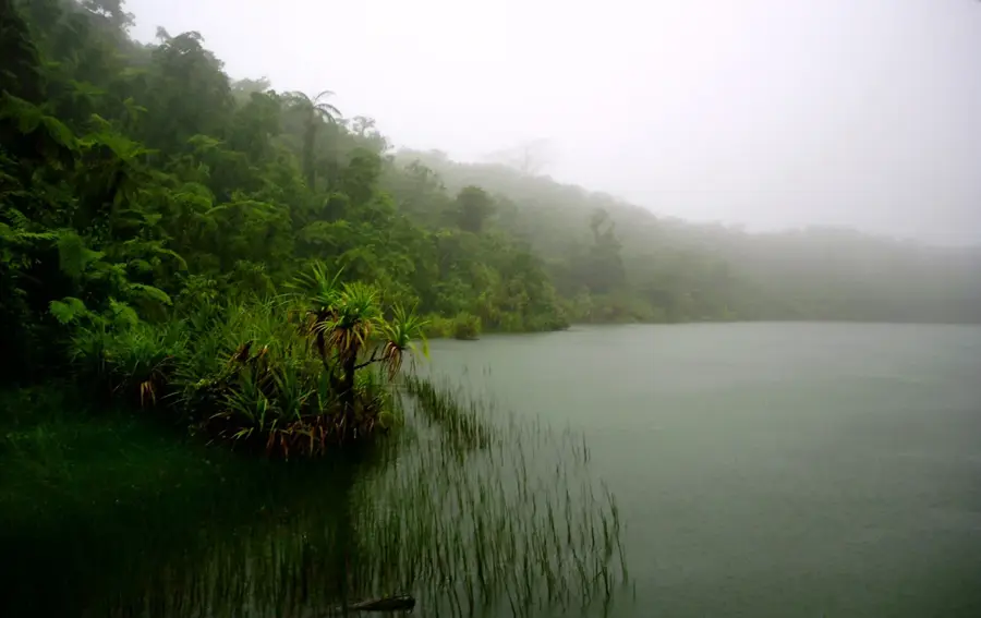
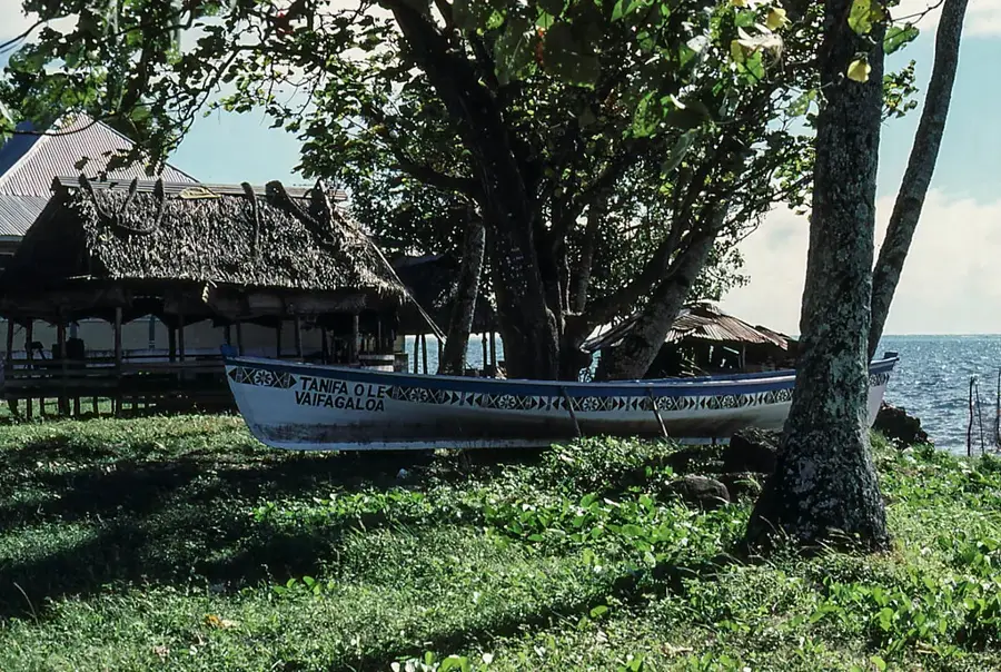
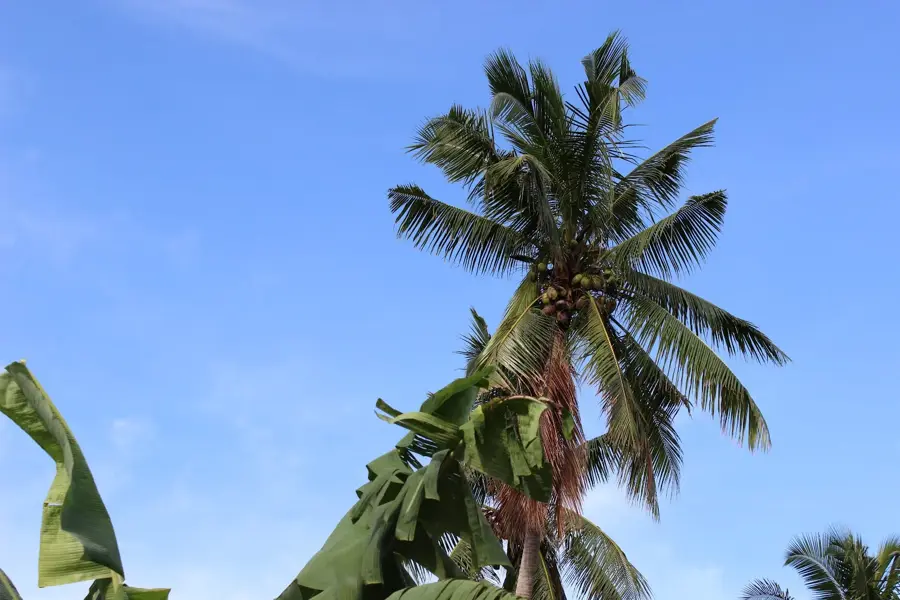
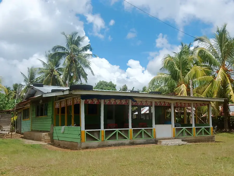
The Sa'anapu Mangrove Conservation Area, located on the south coast of Upolu Island, is one of Samoa's most pristine and ecologically vital wetland ecosystems. It encompasses a vast network of tidal channels and brackish waters dominated by resilient mangrove species, which function as a critical nursery for a wide variety of fish and crustacean species. The area is managed by the local village community using traditional Samoan governance and customs (Fa'asamoa), an approach that has successfully preserved its biodiversity for generations. Visitors can explore the intricate waterways via traditional outrigger canoes, providing a low-impact and culturally immersive way to experience this sensitive environment. These mangroves provide indispensable ecosystem services, including shoreline stabilization and protection against the destructive forces of cyclones and tsunamis. Sa'anapu also serves as a key habitat for resident and migratory waterbirds, making it a priority site for regional avian conservation. The initiative stands as a global model for indigenous-led environmental stewardship.
- Location: Samoa
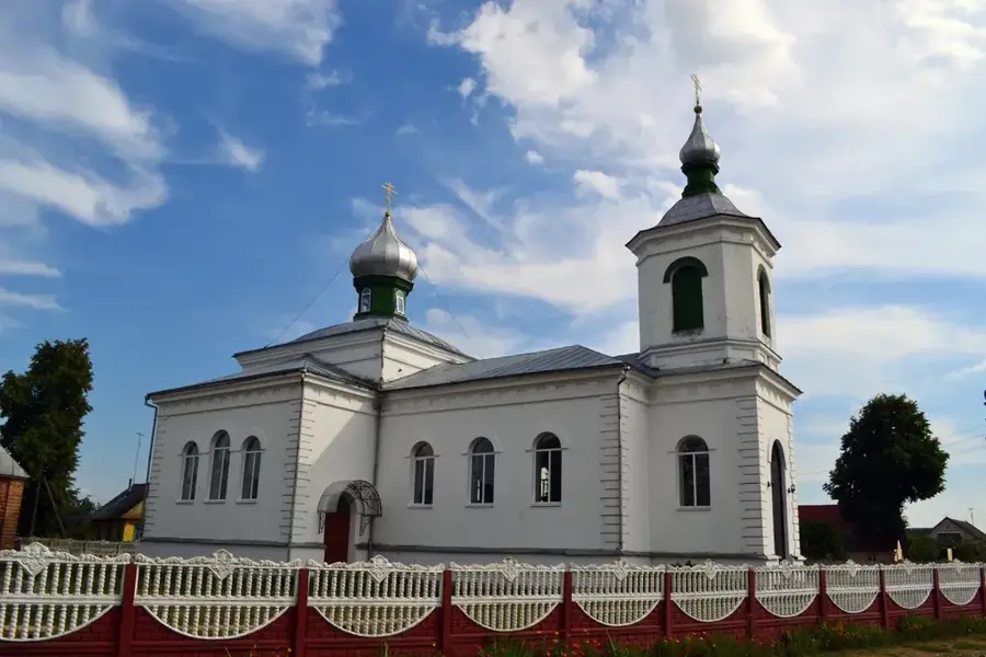
- Top sights: Saanapu Uta Congregational Christian Church · Saanapu Mangrove Conservation Area · Sa'anapu Tai Congregational Christian Church
- Nearby: Safata (5 km)
Best time to visit & climate
The most pleasant time to visit is Jul–Sep.
| Jan | Feb | Mar | Apr | May | Jun | Jul | Aug | Sep | Oct | Nov | Dec | |
|---|---|---|---|---|---|---|---|---|---|---|---|---|
| Avg °C | 28 | 28 | 28 | 28 | 28 | 27 | 27 | 27 | 27 | 27 | 27 | 28 |
| Rain mm | 258 | 241 | 165 | 169 | 128 | 91 | 75 | 56 | 92 | 141 | 213 | 229 |
📋 Practical info
Geography
Facts
- Sa'anapu protects a major mangrove wetland on southern Upolu
- Management is governed by local village councils and traditions
- Exploration is typically conducted via traditional outrigger canoes
- The mangroves are essential for coastal resilience and flood control
- The area is a significant nursery for Pacific reef fish species
- It is recognized as an Important Bird Area (IBA) in Samoa
Explore nearby
Notable places around
Route planner — Car & Motorhome
Where do you start? We build the route here, with stops and country notes along the way.
© OpenStreetMap contributors · OpenRouteService
Sights in the town Sa'anapu Mangrove Conservation Area (7)
Sataoa Beach Fales
Beachside fales on Sataoa beach, Samoa. They offer simple accommodation right by the ocean.
Faleagai Sataoa Methodist Church
A Methodist church in Faleagai Sataoa, Samoa. It is a site for prayer and community gatherings.
Sataoa Methodist Church
A Methodist church in Sataoa village, Samoa. It serves the local Methodist congregation.
Sights nearby
Frequently asked questions
What can you do at the Sa'anapu Preserve?
Is it safe for children?
When is the best time for a visit?
Are there many mosquitoes?
Do you have to book the tour in advance?
Sa'anapu Mangrove Conservation Area: where is it located?
Sa'anapu Mangrove Conservation Area: what is there to see?
Sa'anapu Mangrove Conservation Area: when is the best time to visit?
Sa'anapu Mangrove Conservation Area: why is it worth visiting?

Nearby cities


History & landmarks

Nature