Plizio Visual Lab
Mount Sinaele

Weather…
Water temperature…
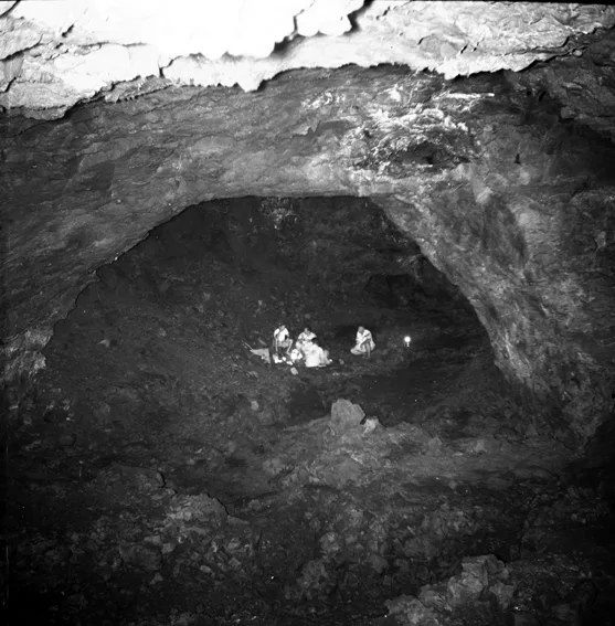
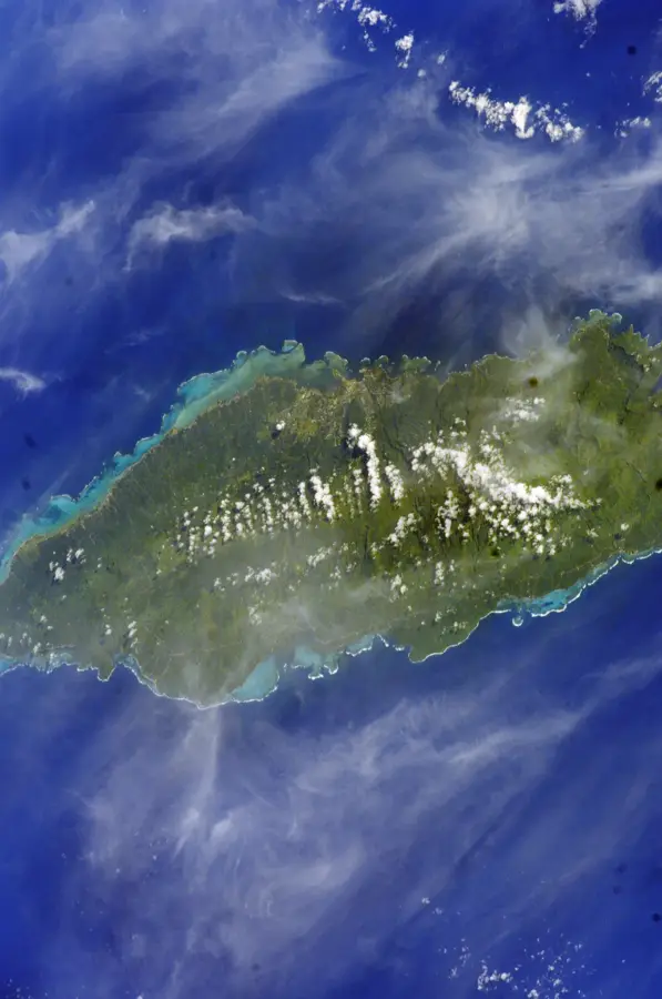
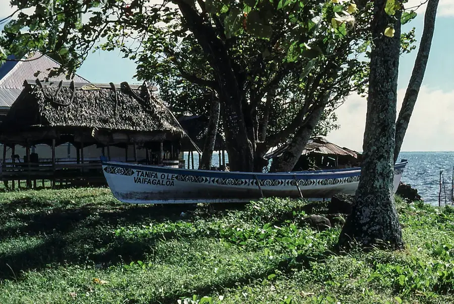
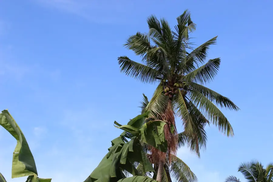
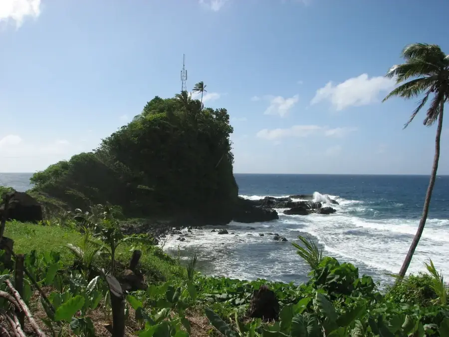
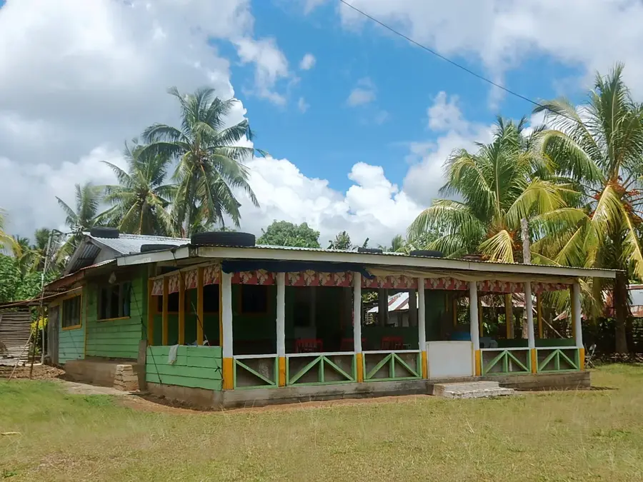
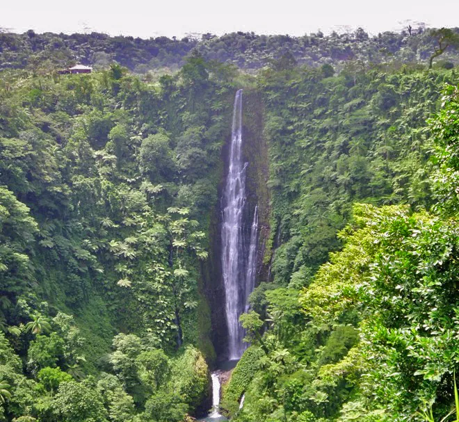
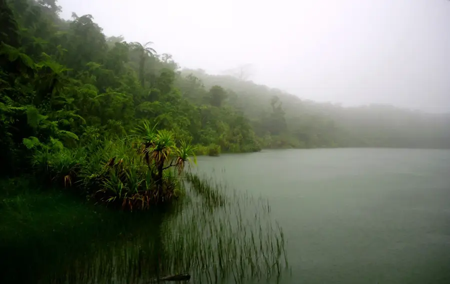
Mount Sinaele is one of the most significant peaks on Upolu Island in Samoa, reaching an elevation of approximately 1,100 meters. Located within the island's central mountain massif, it is an extinct shield volcano whose activity was instrumental in shaping the present-day landform of the island. The geological structure of Sinaele is defined by thick layers of alkali basalt deposited during the late Pliocene and early Pleistocene epochs. Due to its substantial height, the summit is frequently shrouded in clouds, fostering the development of cloud forests, a unique ecosystem characterized by high humidity and specialized moss and fern species. These forests are vital for the region's biodiversity and provide a habitat for rare species such as the tooth-billed pigeon (Manumea), Samoa's national bird. For the inhabitants of the surrounding valleys, Mount Sinaele is not only a scenic landmark but also a crucial source of fresh water, distributed via numerous streams flowing down its slopes. In Samoan mythology, the mountain is often linked to ancient deities and legends concerning the creation of the islands.
- Location: Samoa
- Top sights: Shrine of the Three Hearts · Lanoto'o Viewing Platform
- Nearby: Safata (4 km)
Best time to visit & climate
The most pleasant time to visit is Jul–Sep.
| Jan | Feb | Mar | Apr | May | Jun | Jul | Aug | Sep | Oct | Nov | Dec | |
|---|---|---|---|---|---|---|---|---|---|---|---|---|
| Avg °C | 28 | 28 | 28 | 28 | 28 | 27 | 27 | 27 | 27 | 27 | 27 | 28 |
| Rain mm | 258 | 241 | 165 | 169 | 128 | 91 | 75 | 56 | 92 | 141 | 213 | 229 |
📋 Practical info
Geography
Facts
- The maximum elevation of Mount Sinaele is approximately 1,100 meters.
- Geologically, it is classified as an extinct shield volcano.
- It consists primarily of alkali basalts from the Salani volcanic series.
- The summit area hosts rare tropical montane cloud forests.
- It is a critical habitat for the endangered Manumea bird.
- The mountain serves as a primary water reservoir for Central Upolu.
Explore nearby
Notable places around
Route planner — Car & Motorhome
Where do you start? We build the route here, with stops and country notes along the way.
© OpenStreetMap contributors · OpenRouteService
Sights in the town Mount Sinaele (2)
Sights nearby
Frequently asked questions
How challenging is the hike up Mount Sinaele?
What is the best season for the climb?
Are there food options on the mountain?
How long does the ascent typically take?
Is there a viewing platform at the summit?
Mount Sinaele: where is it located?
Mount Sinaele: what is there to see?
Mount Sinaele: when is the best time to visit?
Mount Sinaele: why is it worth visiting?

Nearby cities


History & landmarks

Nature

More places