Plizio Visual Lab
Vânătoarea lui Buteanu Peak
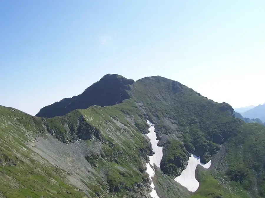
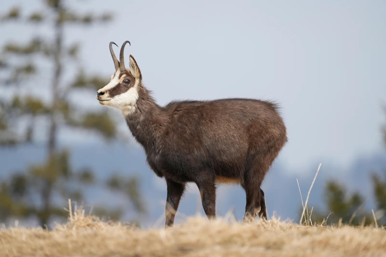
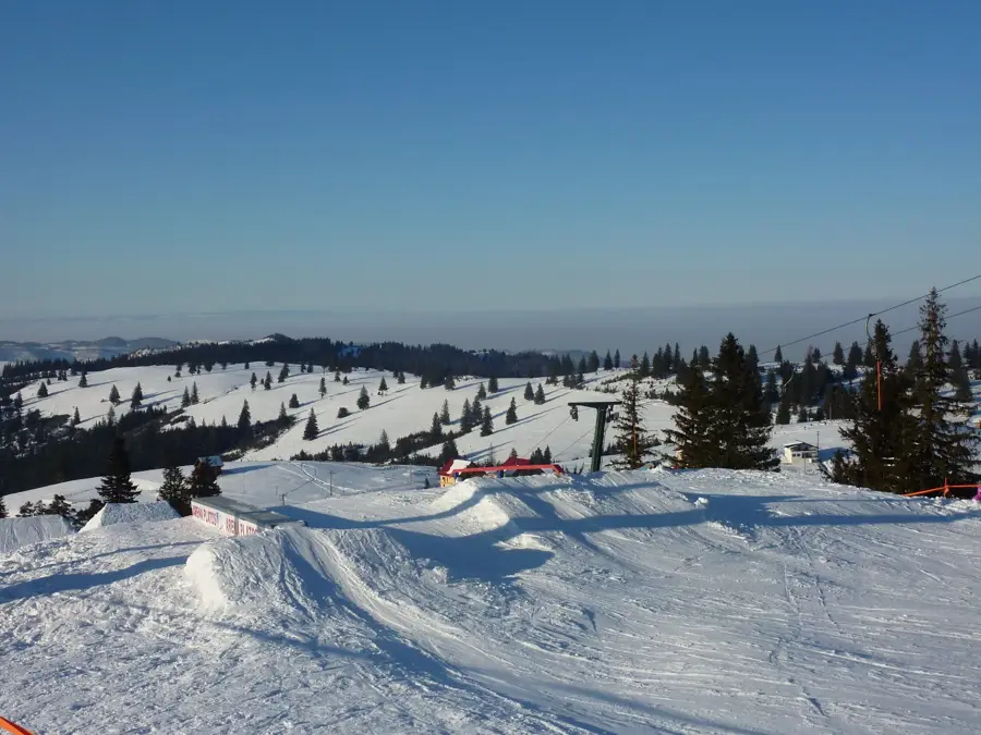
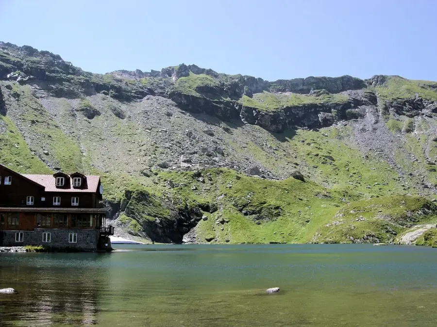
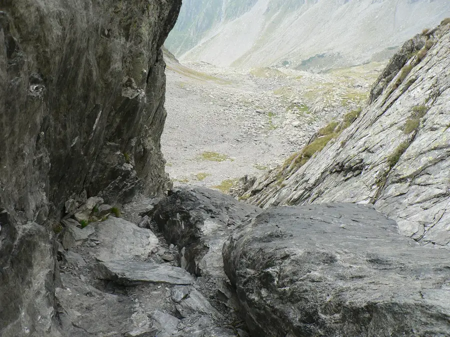
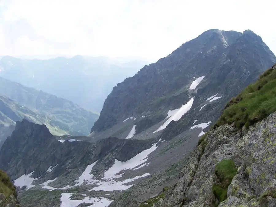
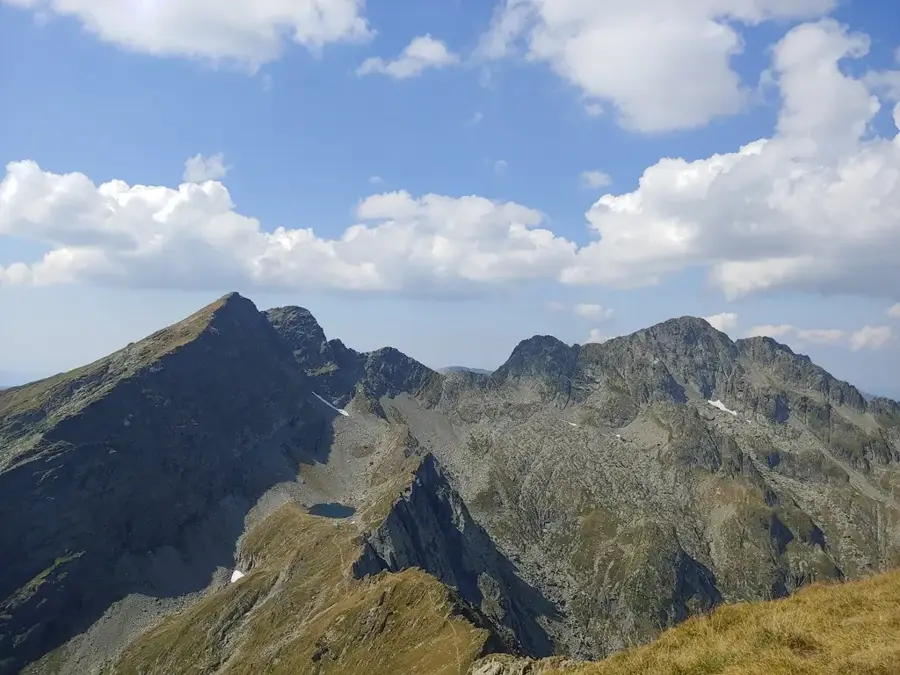
Vânătoarea lui Buteanu is one of the most famous and accessible peaks exceeding 2,500 meters in the Făgăraș Mountains, with an altitude of 2,507 meters. It is located in the central part of the range, offering a dominant view over the Bâlea Lake and the Transfăgărășan mountain road. The peak's name is derived from local legends about a hunter named Buteanu who once roamed these high ridges. Geologically, the peak stands out due to its distinct pyramidal shape, a result of intense glacial erosion during the ice ages. From the summit, hikers are rewarded with an expansive 360-degree view that includes the Moldoveanu Peak to the east and the Transylvanian plateau to the north. The proximity to the high-altitude highway makes it a favorite for many travelers, though the final rocky stretch to the peak requires steady footing. The surrounding environment is part of a protected nature reserve, hosting rare alpine plants and a significant population of chamois. Its position at the intersection of several main ridges makes it a key geographical landmark in the Southern Carpathians.
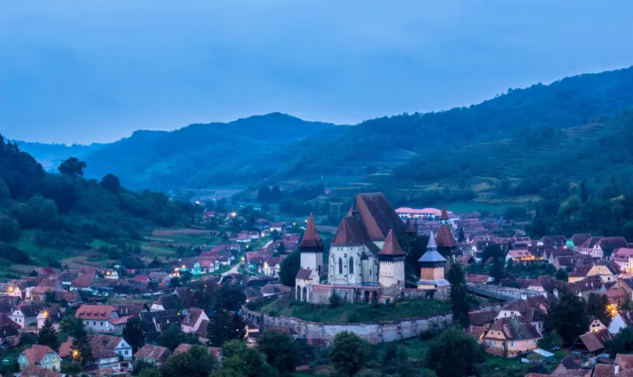
- Location: Sibiu, Romania
- Top sights: Capra Waterfall · Fresh-meat · Capra
- Nearby: Victoria (8 km)
Best time to visit & climate
The most pleasant time to visit is Jul–Sep.
| Jan | Feb | Mar | Apr | May | Jun | Jul | Aug | Sep | Oct | Nov | Dec | |
|---|---|---|---|---|---|---|---|---|---|---|---|---|
| Avg °C | -5 | -3 | 1 | 7 | 12 | 16 | 18 | 18 | 13 | 8 | 2 | -3 |
| Rain mm | 41 | 37 | 48 | 62 | 96 | 117 | 105 | 76 | 62 | 62 | 48 | 46 |
📋 Practical info
Geography
Facts
- Vânătoarea lui Buteanu reaches a height of 2,507 meters (8,225 feet).
- It is the eighth-highest peak in Romania and part of the Southern Carpathians.
- The summit is roughly a 1.5-hour hike from the Bâlea Lake parking area.
- It marks the meeting point of the main ridge and the Buteanu-Vârtop ridge.
- The peak is composed of crystalline schists formed during the Hercynian orogeny.
- It is one of the few 2500m+ peaks in Romania reachable by a relatively short trail.
Explore nearby
Notable places around
Route planner — Car & Motorhome
Where do you start? We build the route here, with stops and country notes along the way.
© OpenStreetMap contributors · OpenRouteService
Sights in the town Vânătoarea lui Buteanu Peak (9)
Vânătarea lui Buteanu
Vânătarea lui Buteanu is a mountain peak in the Făgăraș Mountains, Romania.
Fereastra Zmeilor
Viewpoint offering views of the surrounding peaks of the Făgăraș Mountains.
Panoramă Transfăgărășan
Scenic overlook along the Transfăgărășan road with wide mountain panorama.
Monumentul Nerlinger
Monument dedicated to German engineer Nerlinger, erected at the Transfăgărășan.
Curba lui Zavate
Curve named after Colonel Zavate Ilie, who worked with the army on the road; a commemorative plaque is on the wall.
Sights nearby
Frequently asked questions
How high is the Vânătarea lui Buteanu peak?
Why is this peak so popular?
How long is the hike from Lake Bâlea?
What view do you get from the top?
Are there dangerous sections on the path?
Vânătoarea lui Buteanu Peak: where is it located?
Vânătoarea lui Buteanu Peak: what is there to see?
Vânătoarea lui Buteanu Peak: when is the best time to visit?
Vânătoarea lui Buteanu Peak: why is it worth visiting?

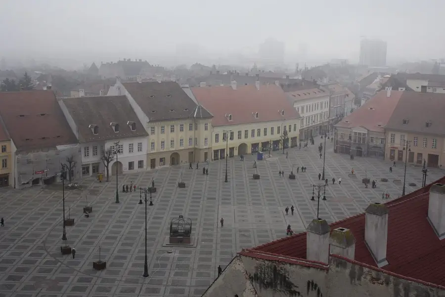
Nearby cities
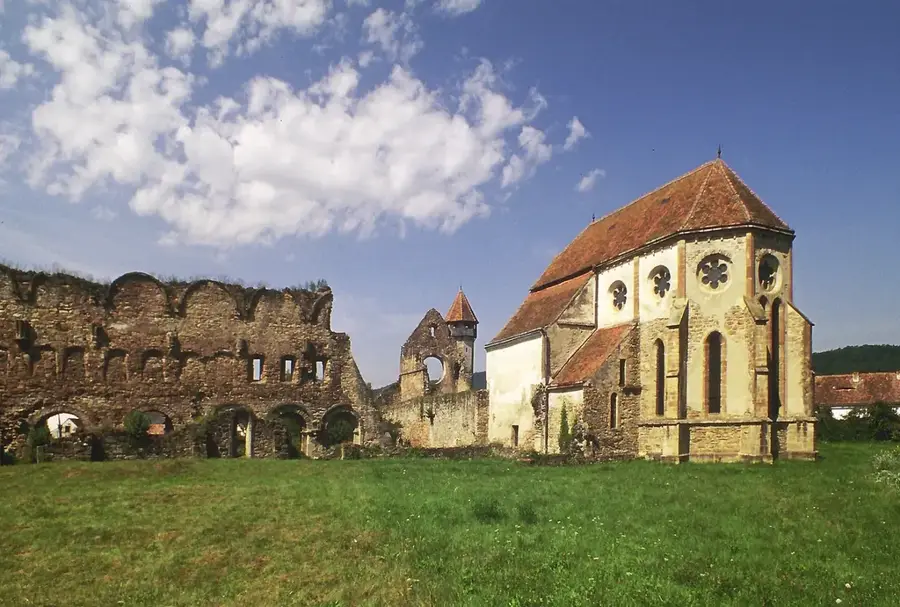
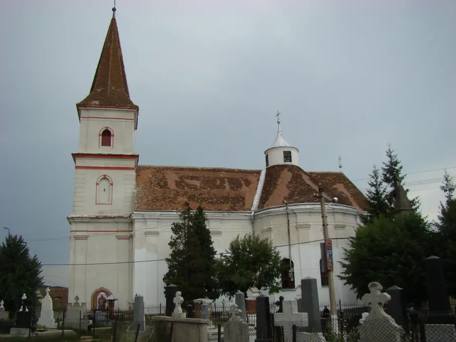
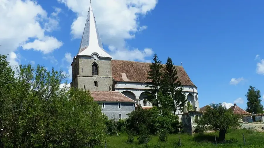
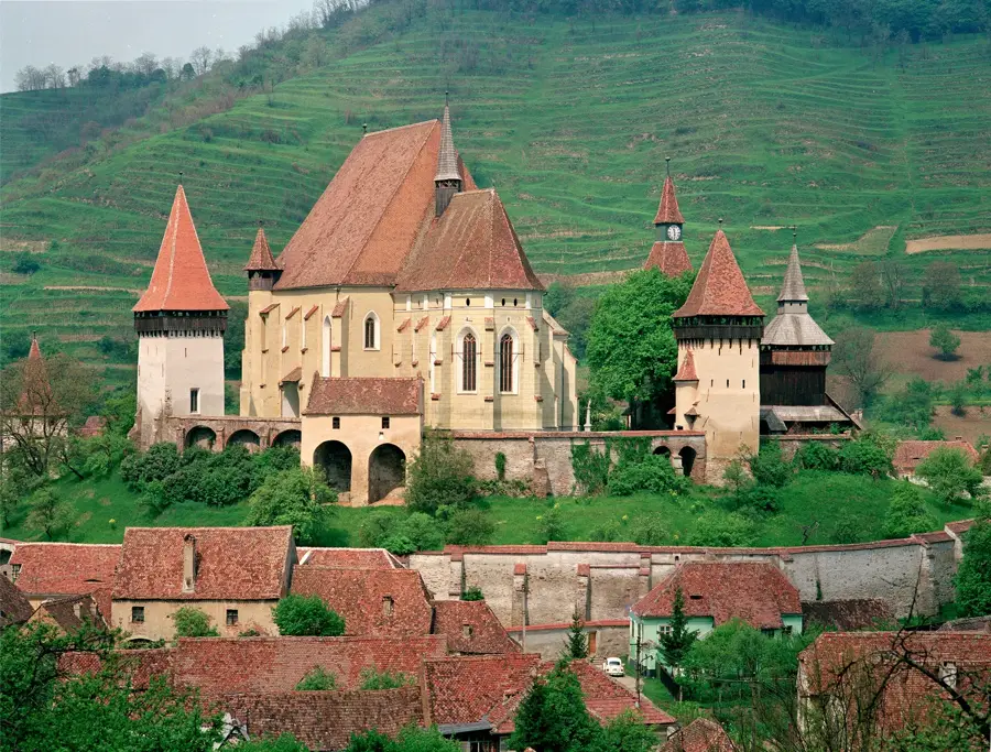
History & landmarks

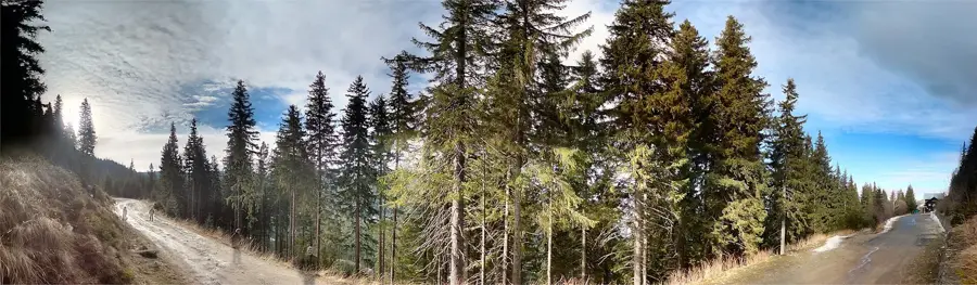
Nature

More places