Plizio Visual Lab
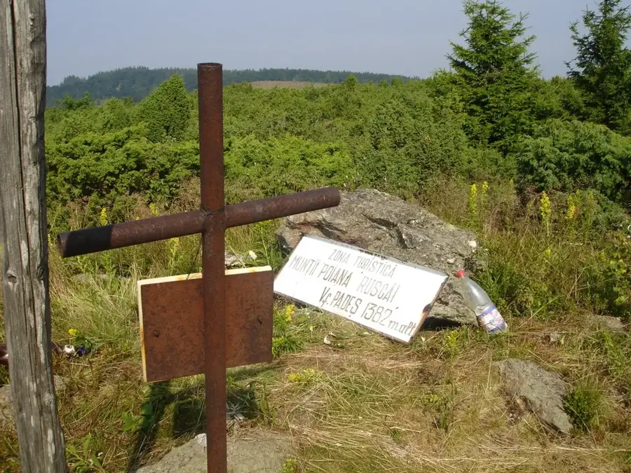
Padeș Peak
Weather…
Water temperature…
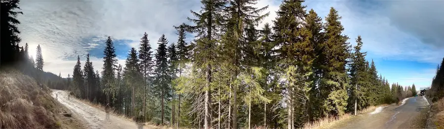
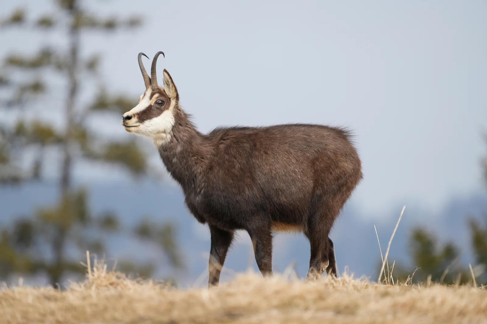
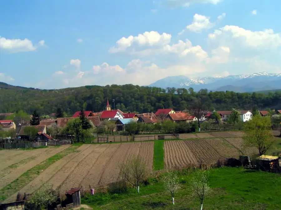
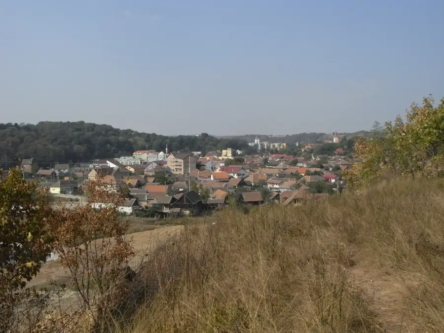
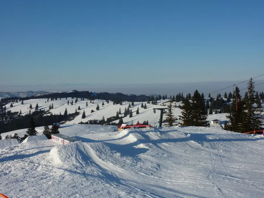
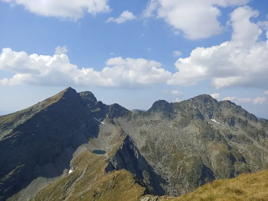
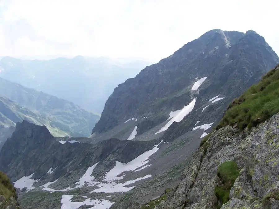
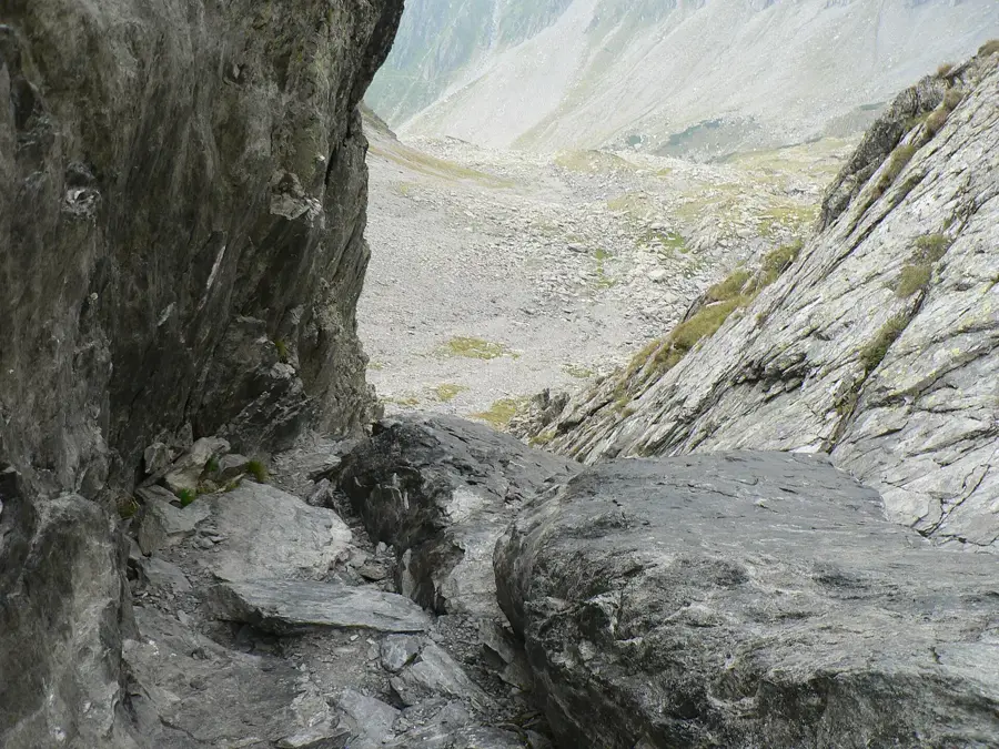
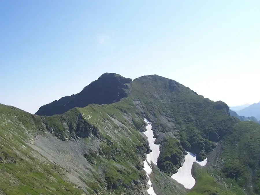
Padeș Peak is the highest elevation in the Poiana Ruscă Mountains, part of the Western Carpathians of Romania, standing at 1,374 meters. Located in the heart of the massif, it serves as the primary geographical landmark for a region known for its dense forests and rich mining history. Geologically, the peak is composed of crystalline schists and marble, which have been historically exploited in nearby quarries such as Ruschița. The landscape is predominantly covered by extensive beech and oak forests, providing a sanctuary for diverse wildlife including wild boar and red deer. Historically, the surrounding valleys have been centers of iron ore extraction and metallurgy since Roman times. Hiking to the summit is relatively easy, offering expansive views over the Banat region and the Hunedoara depression. The summit is marked by several communication towers and a weather station, making it easily identifiable from a distance. The flora reflects the temperate mountain climate, with various protected wildflower species blooming in the clearings during spring.
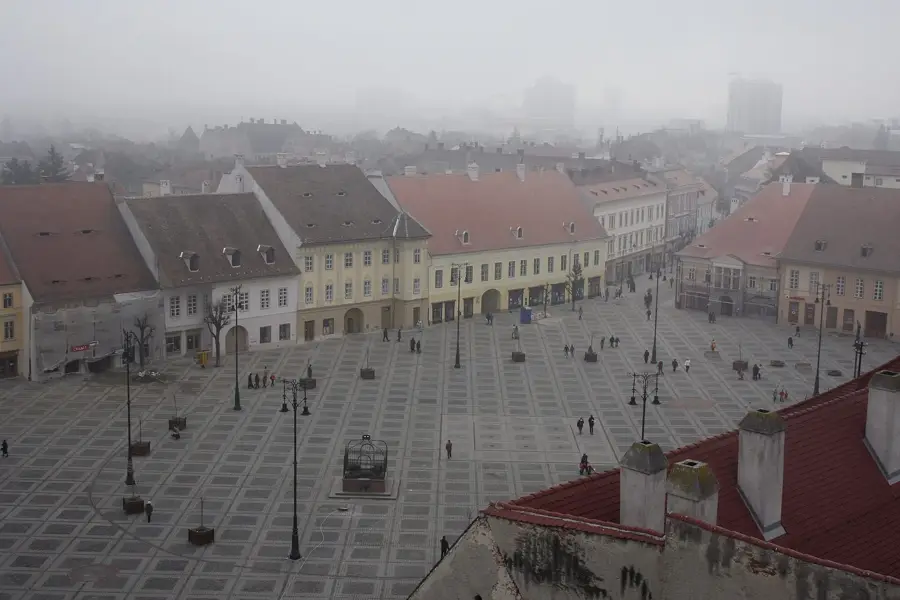
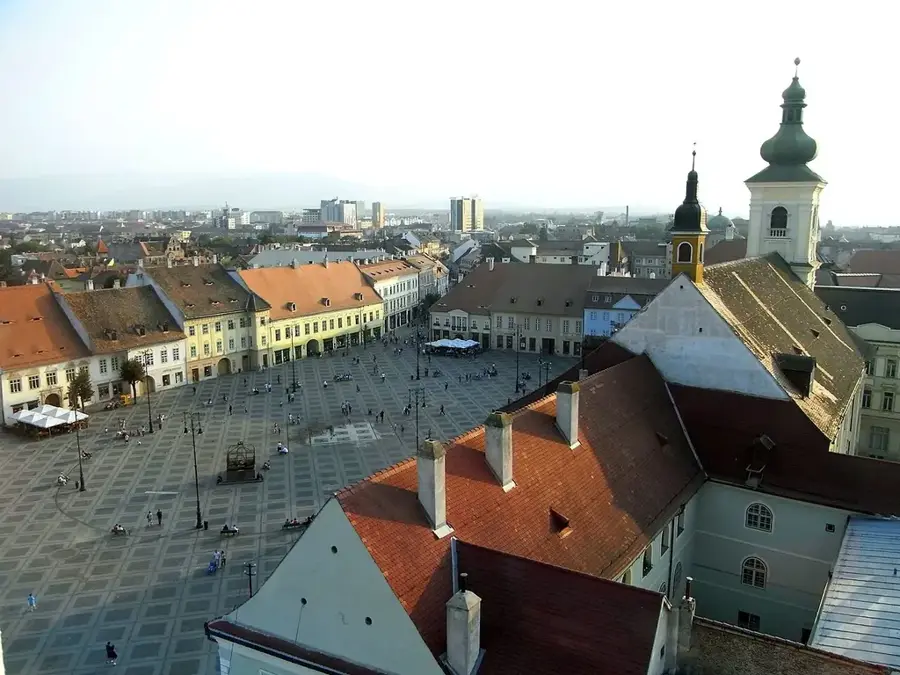
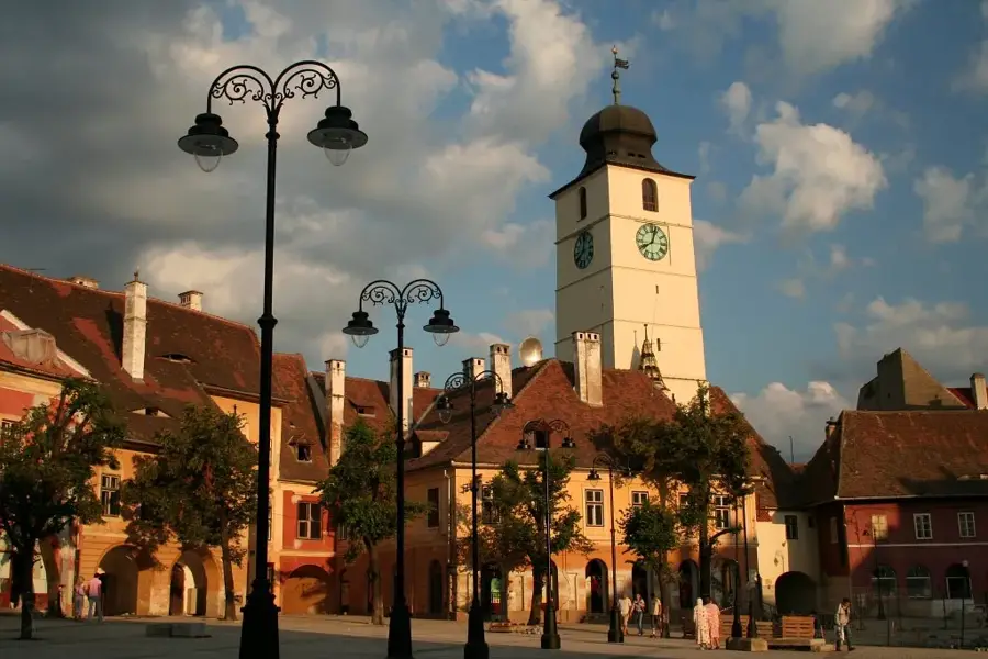
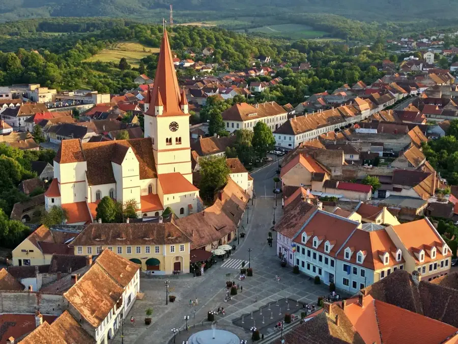
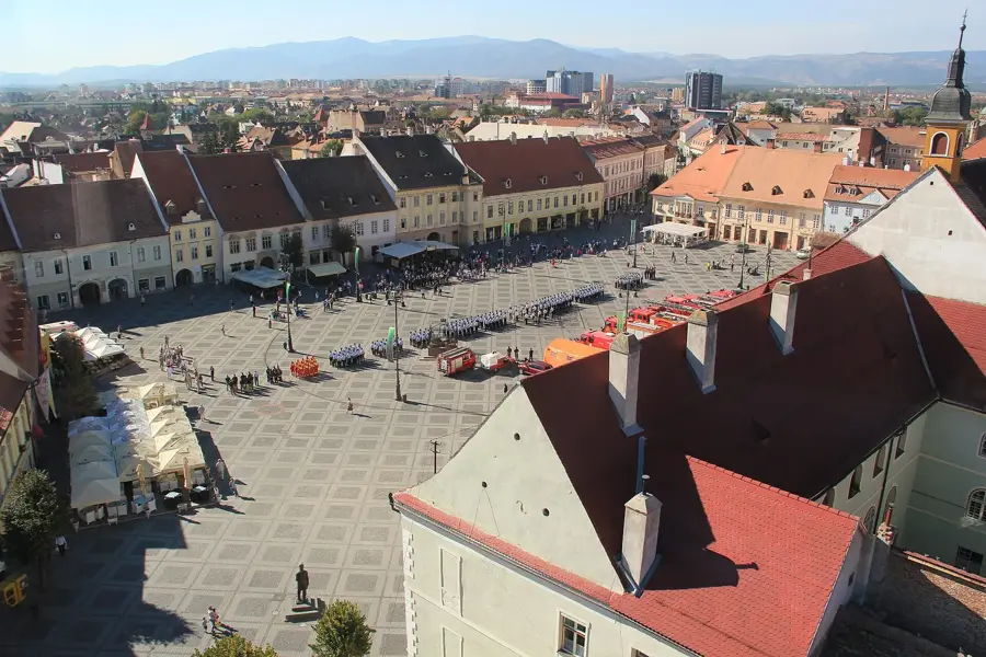
- Location: Sibiu, Romania
- Top sights: Repezi · Ștevia · Plaiul Poienii
- Nearby: Voineasa (8 km)
Best time to visit & climate
The most pleasant time to visit is Jul–Sep.
| Jan | Feb | Mar | Apr | May | Jun | Jul | Aug | Sep | Oct | Nov | Dec | |
|---|---|---|---|---|---|---|---|---|---|---|---|---|
| Avg °C | -6 | -4 | 0 | 5 | 10 | 14 | 16 | 17 | 12 | 6 | 2 | -4 |
| Rain mm | 45 | 42 | 53 | 70 | 103 | 122 | 109 | 78 | 64 | 66 | 52 | 50 |
📋 Practical info
Geography
Facts
- Padeș Peak is the highest point of the Poiana Ruscă range at 1,374 meters.
- It is situated at the meeting point of Timiș and Hunedoara counties.
- The peak is close to the Ruschița marble quarry, one of the largest in Europe.
- It features a major regional telecommunications relay station on its summit.
- The surrounding mountains have been mined for iron ore since the 2nd century AD.
- The peak offers one of the best views of the Mureș River valley to the north.
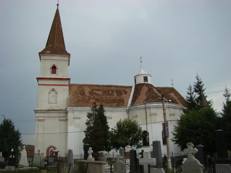
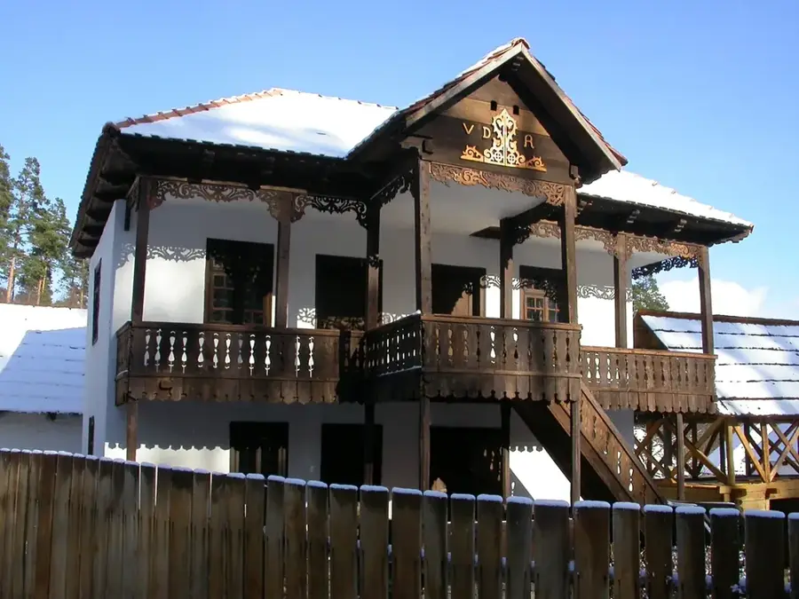
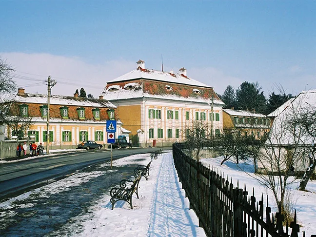
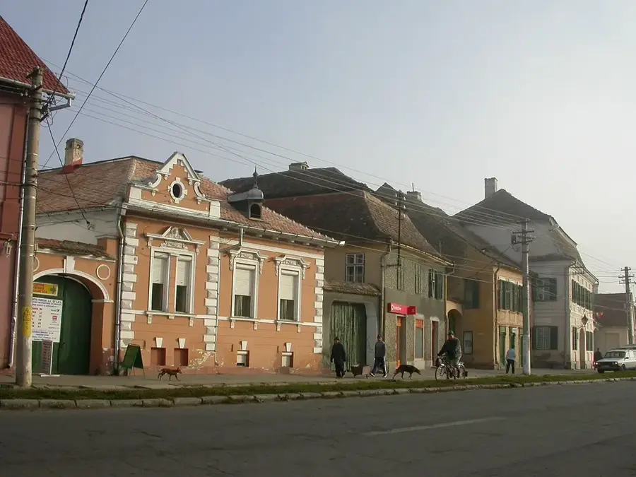
Explore nearby
Notable places around
Route planner — Car & Motorhome
Where do you start? We build the route here, with stops and country notes along the way.
© OpenStreetMap contributors · OpenRouteService
Sights in the town Padeș Peak (3)
Sights nearby
Frequently asked questions
In which mountains is the Padeș peak located?
How high is Padeș?
Is the peak forested?
Which town is closest to the peak?
Can you reach the peak by mountain bike?
Padeș Peak: where is it located?
Padeș Peak: what is there to see?
Padeș Peak: when is the best time to visit?
Padeș Peak: why is it worth visiting?

Nearby cities
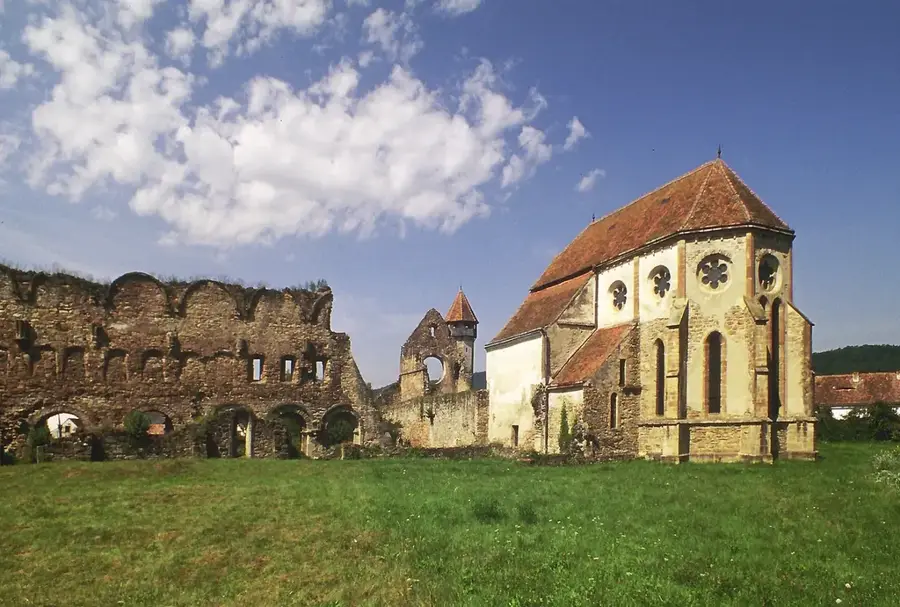
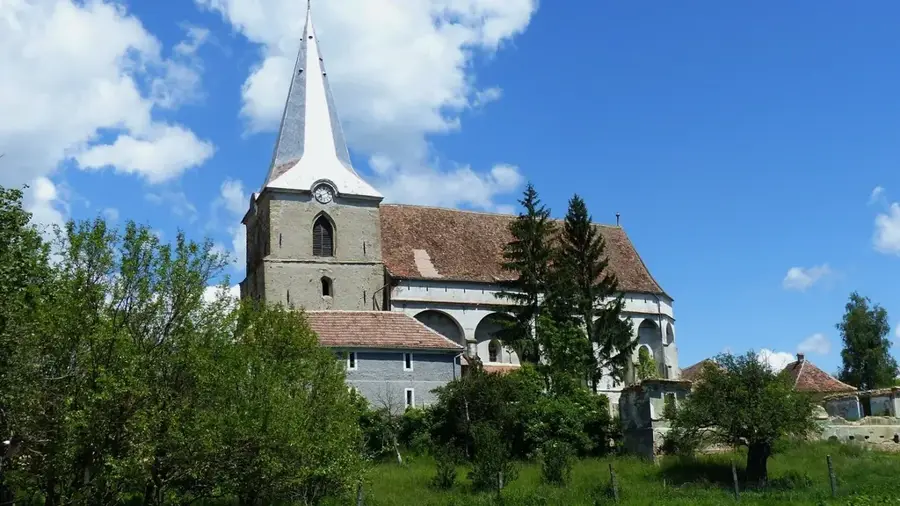
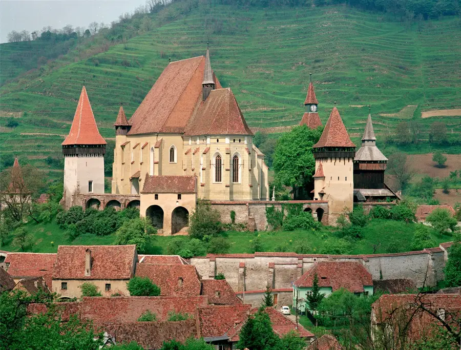
History & landmarks

Nature

More places