Plizio Visual Lab
Lespezi Peak
Weather…
Water temperature…
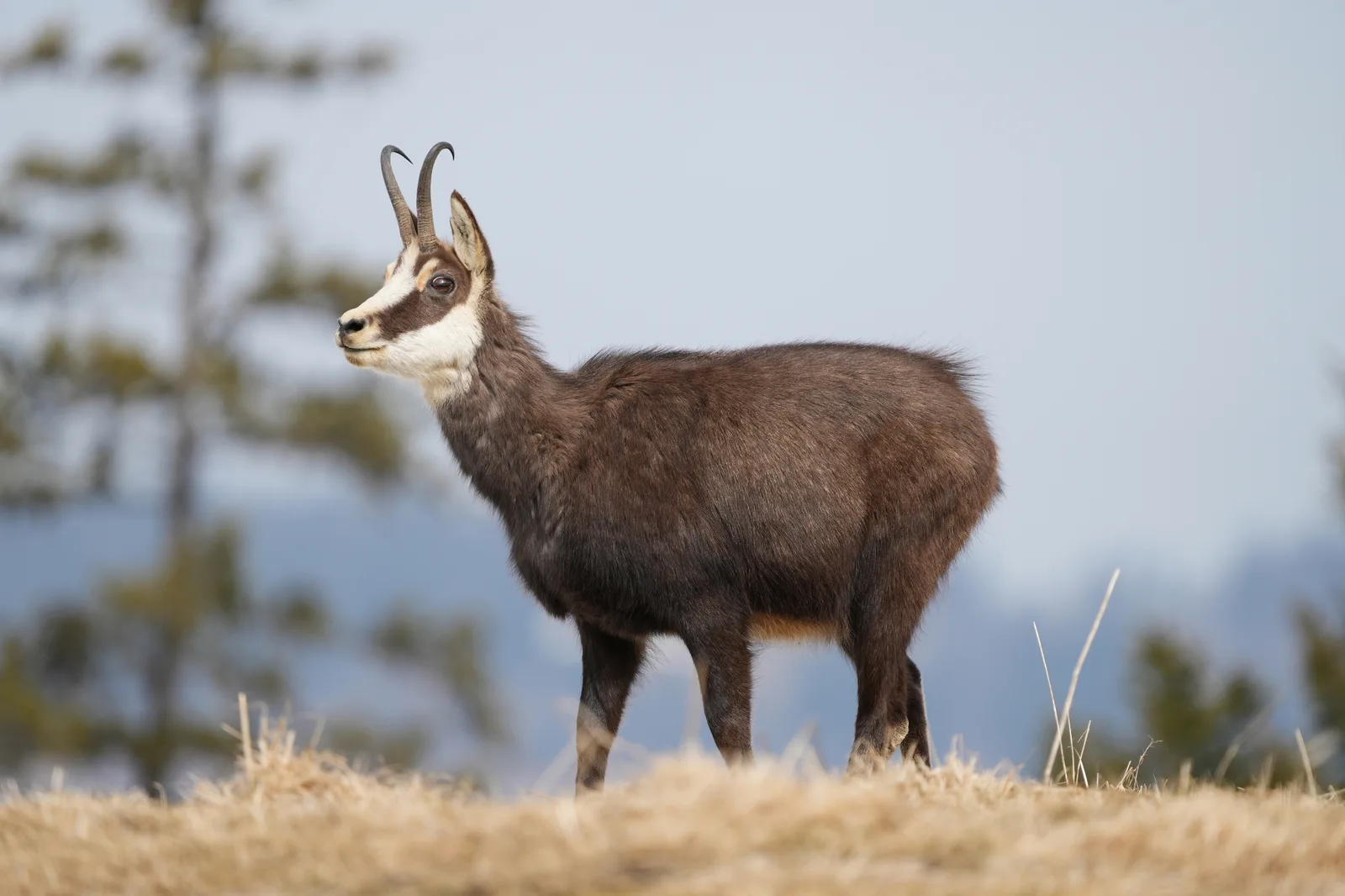
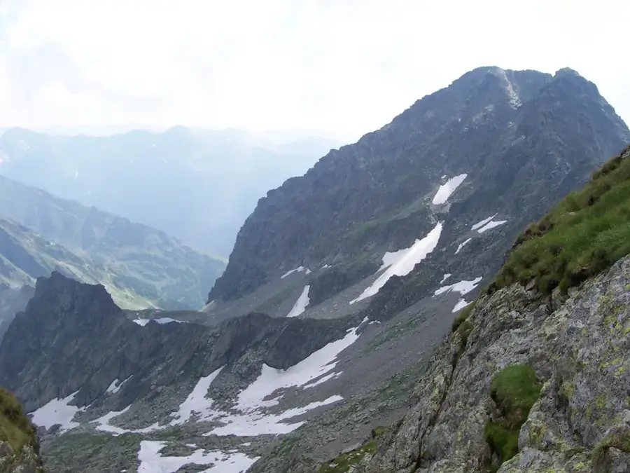
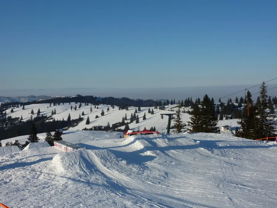
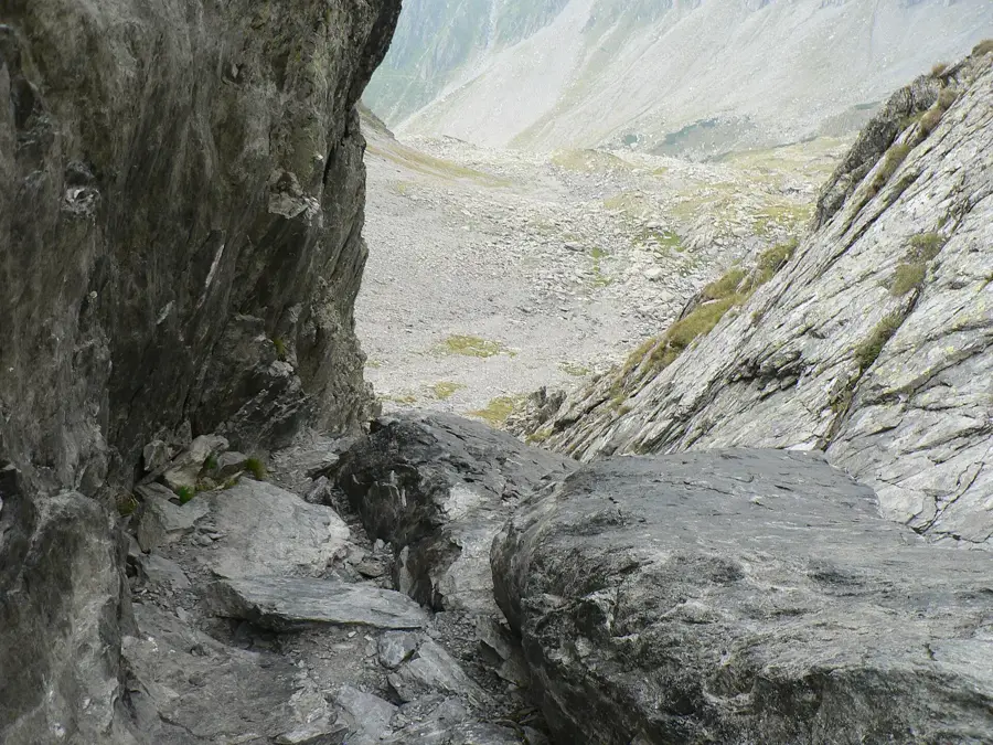
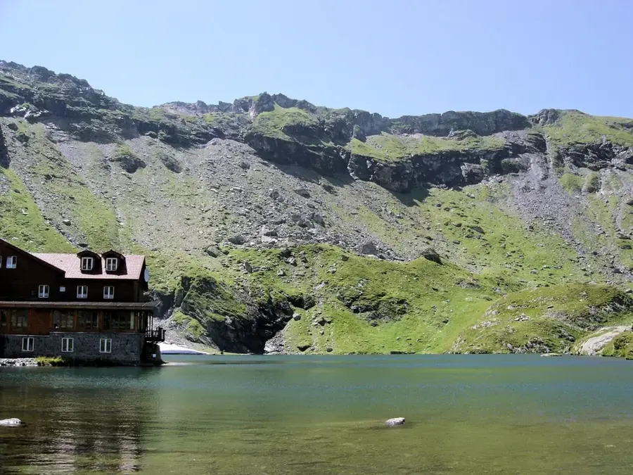
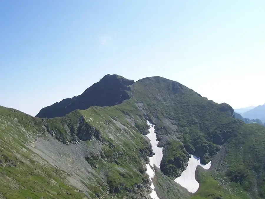
Lespezi Peak, standing at an elevation of 2,517 meters, is one of the highest points in the Făgăraș Mountains of the Southern Carpathians. Located in the central part of the massif, it is characterized by its steep, rocky terrain and its massive crystalline schist composition. The peak was shaped by intense glacial activity during the Pleistocene, which created the nearby sharp ridges and the Călțun glacial cirque. Climbing to the summit provides a wide panorama of the surrounding peaks, including Negoiu, and the deep blue waters of Lake Călțun below. The area is a vital habitat for alpine wildlife, such as chamois, and hosts rare high-altitude flora like the edelweiss. Access to the peak has been significantly improved by the proximity of the Transfăgărășan highway, making it a popular yet challenging destination for hikers. Historically, these mountains were used for seasonal transhumance by local shepherds, while today they are a cornerstone of Romanian alpine tourism. Its northern face drops sharply towards the lake, offering a formidable sight for mountaineers.
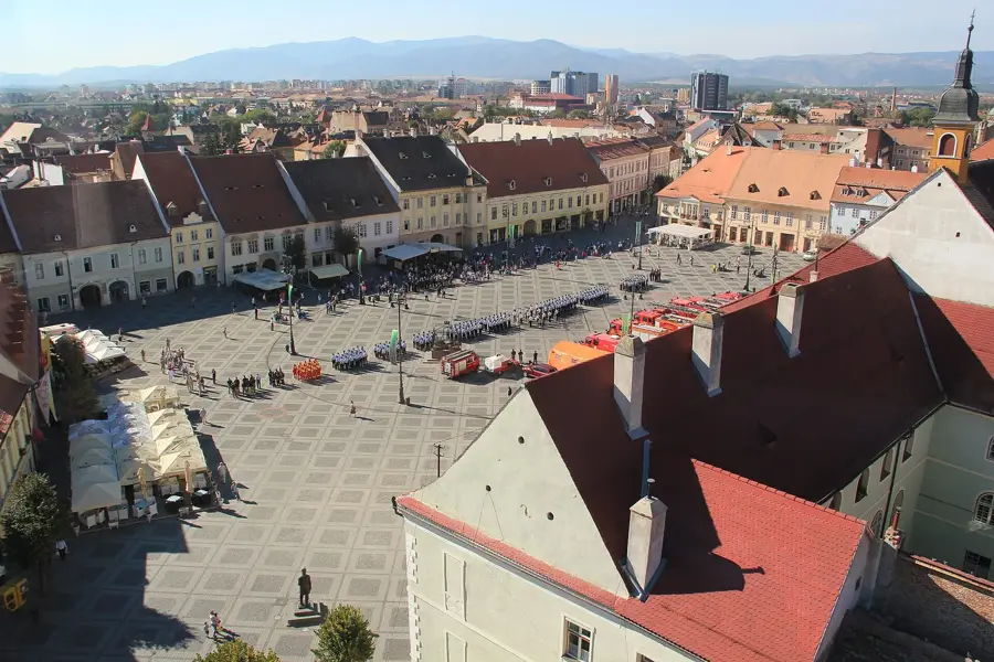
- Location: Sibiu, Romania
- Top sights: Negoiu · Șerbotă · Lespezi
- Nearby: Bâlea Lac (4 km)
Best time to visit & climate
The most pleasant time to visit is Jul–Sep.
| Jan | Feb | Mar | Apr | May | Jun | Jul | Aug | Sep | Oct | Nov | Dec | |
|---|---|---|---|---|---|---|---|---|---|---|---|---|
| Avg °C | -5 | -3 | 1 | 7 | 12 | 16 | 18 | 18 | 13 | 8 | 2 | -3 |
| Rain mm | 41 | 37 | 48 | 62 | 96 | 117 | 105 | 76 | 62 | 62 | 48 | 46 |
📋 Practical info
Geography
Facts
- Lespezi Peak reaches an official elevation of 2,517 meters above sea level.
- It ranks as the fifth-highest mountain peak in Romania.
- The peak is situated very close to Negoiu Peak, which stands at 2,535 meters.
- Lake Călțun is located at the foot of the peak at an altitude of 2,135 meters.
- The mountain is composed primarily of ancient crystalline schists.
- The standard hiking route involves a significant vertical gain from the Transfăgărășan road.
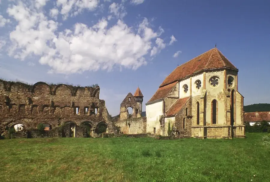
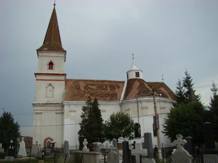
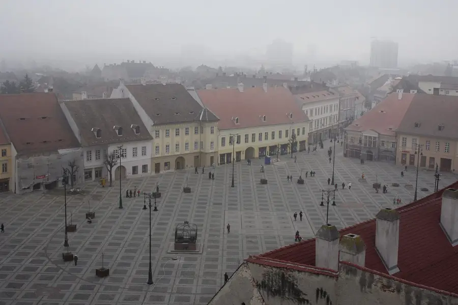
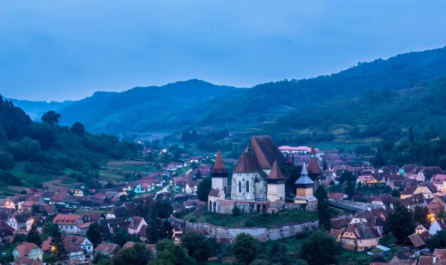
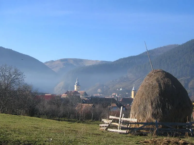
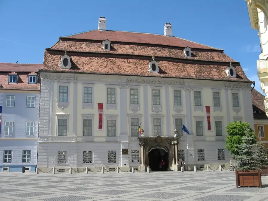
Explore nearby
Notable places around
Route planner — Car & Motorhome
Where do you start? We build the route here, with stops and country notes along the way.
© OpenStreetMap contributors · OpenRouteService
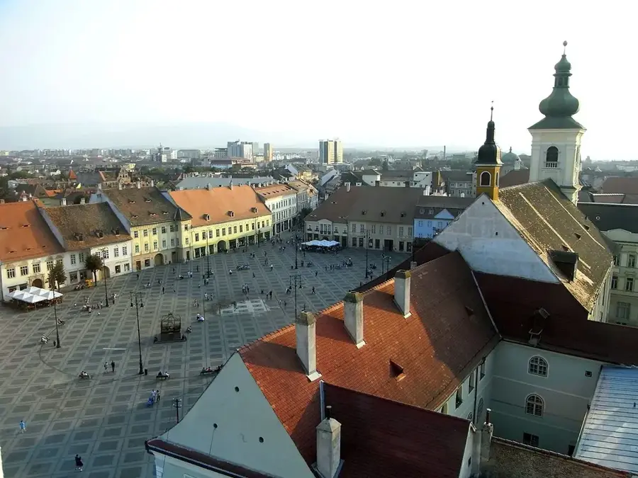
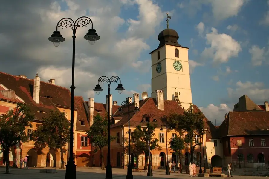
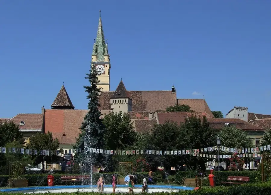
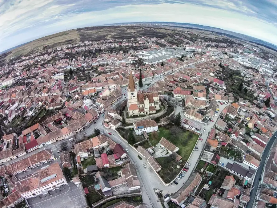
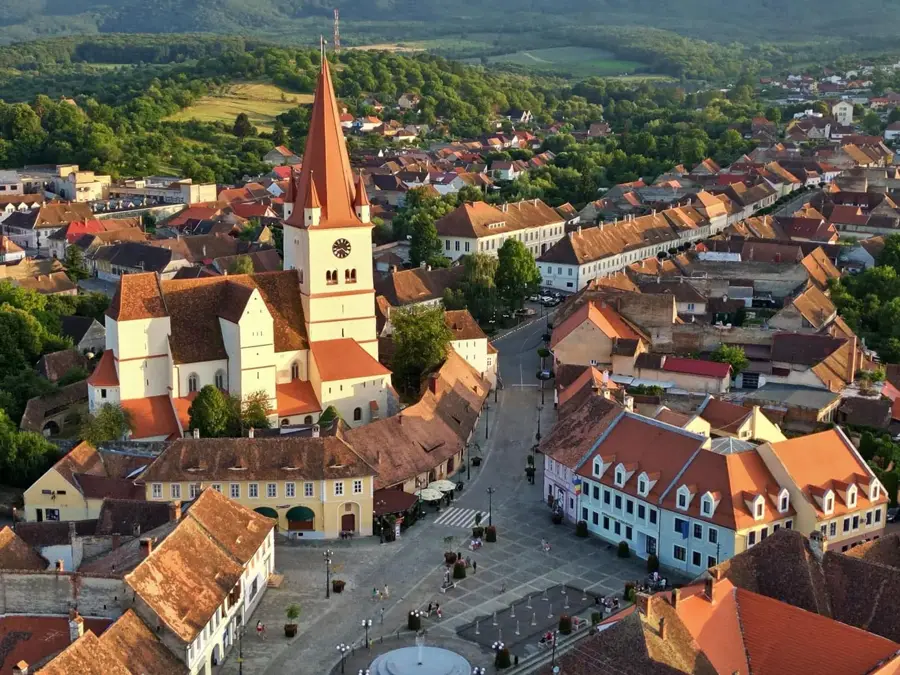
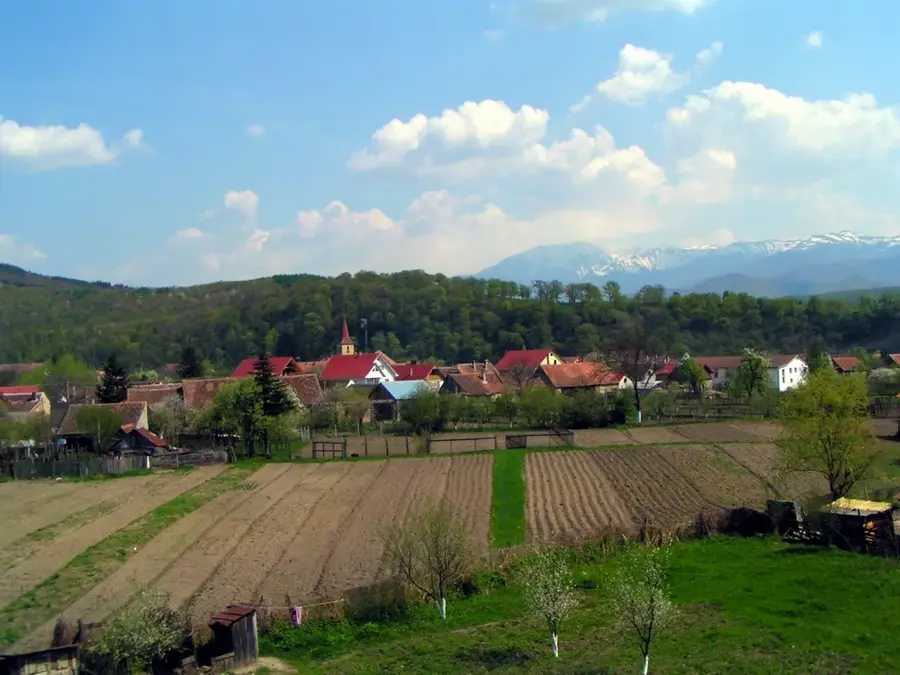
Sights in the town Lespezi Peak (4)
Sights nearby
Frequently asked questions
How high is the Lespezi peak?
Where does the ascent start?
Is the trail technically difficult?
Which lake can be seen from the peak?
How long does the tour take?
Lespezi Peak: where is it located?
Lespezi Peak: what is there to see?
Lespezi Peak: when is the best time to visit?
Lespezi Peak: why is it worth visiting?

Nearby cities
History & landmarks

Nature

More places