Plizio Visual Lab
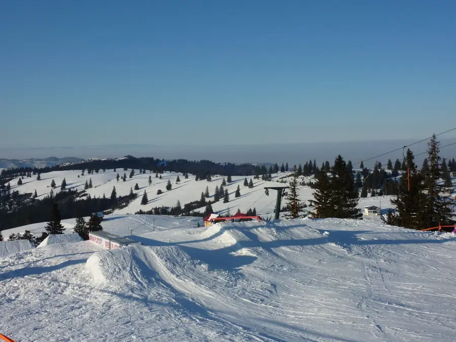
Șura Peak
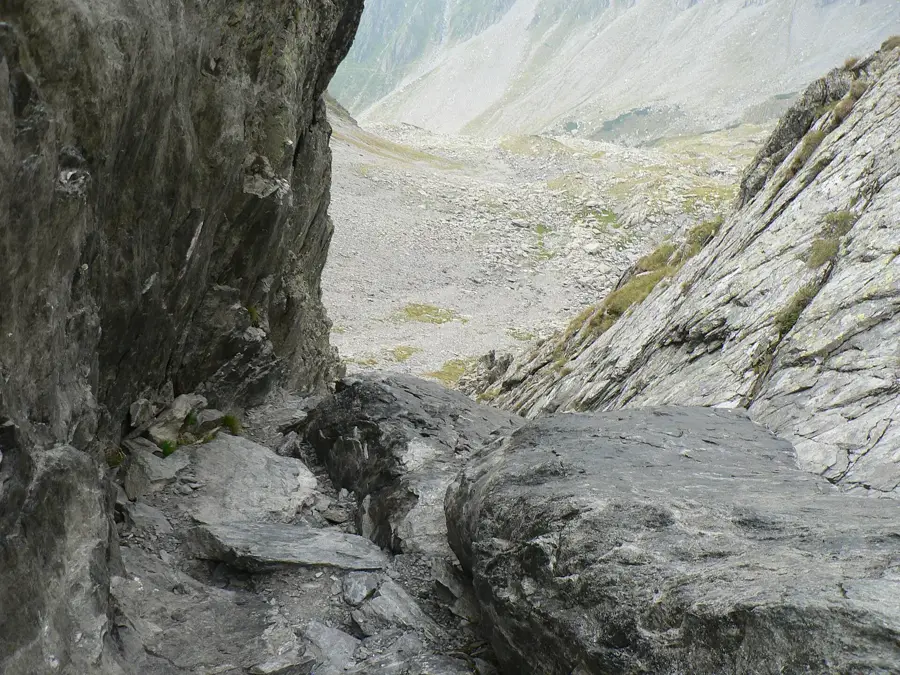
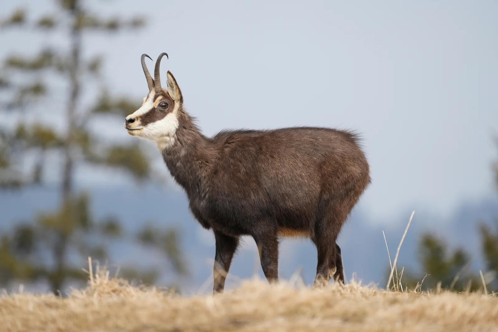
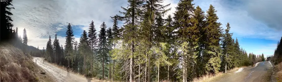
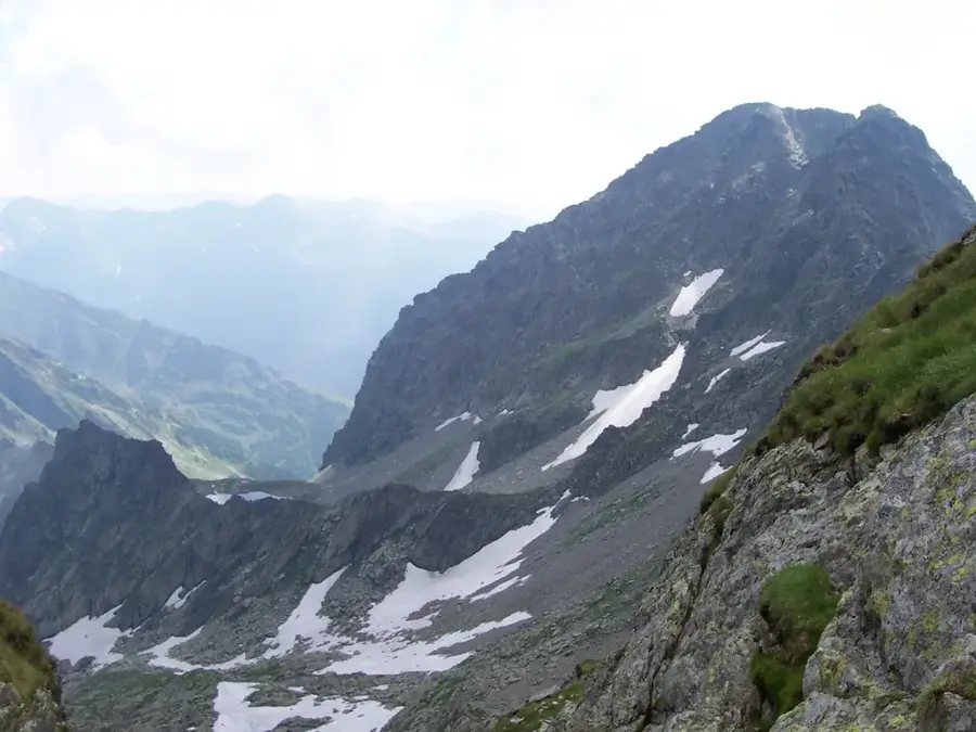
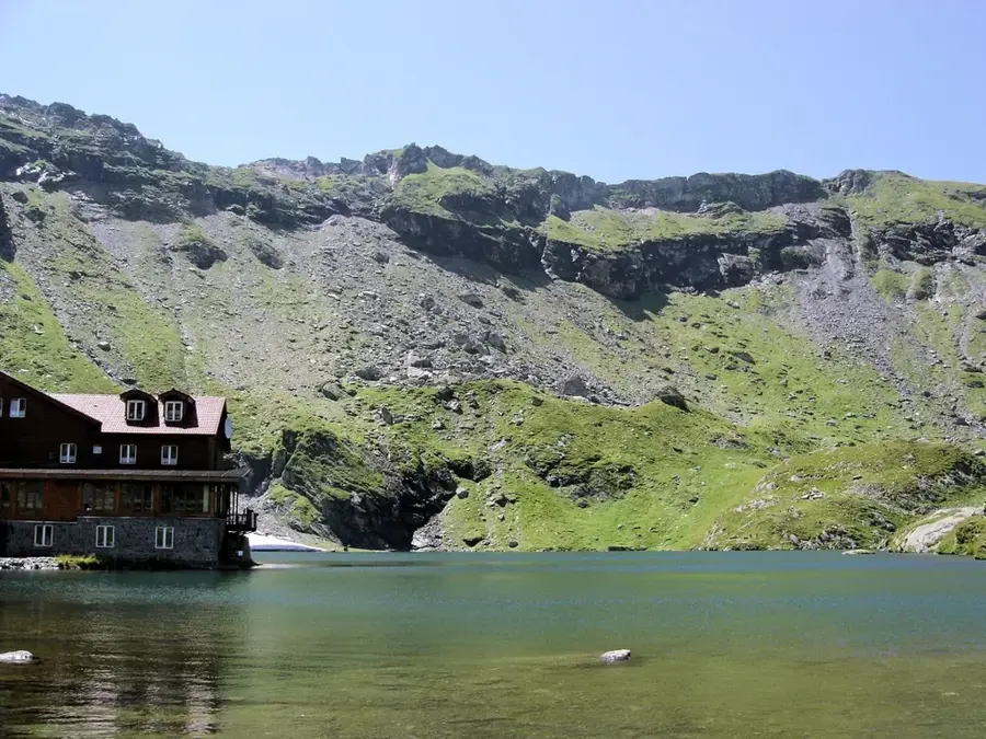
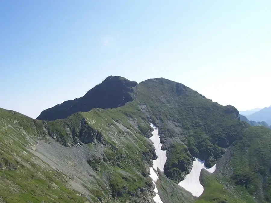
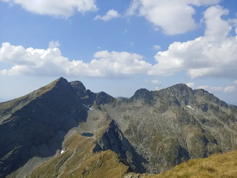
Șura Peak, also known as Șura Mare, is a significant elevation on the main ridge of the Parâng Mountains, reaching 2,274 meters. It is strategically positioned between the iconic Cârja Peak and the massif's highest point, Parângul Mare. The landscape around the peak is defined by broad, high-altitude plateaus contrasted with steep northern cliffs that plunge into the Mija glacial cirque. Geologically, it is part of the crystalline core of the Southern Carpathians, composed primarily of metamorphic schists and gneisses. Historically, this peak served as a natural landmark for shepherds navigating the high pastures between Transylvania and Oltenia. Hikers cross Șura during the long ridge traverse, enjoying panoramic views of the remote alpine lakes and the neighboring Lotru Mountains. The environment is harsh, with snow often persisting in the shadowed gullies until late June. The local flora is minimal, consisting of hardy alpine grasses and lichens, while the fauna is represented by resilient species such as the chamois and mountain eagles.
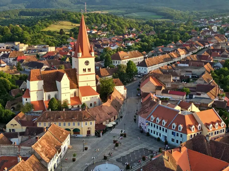
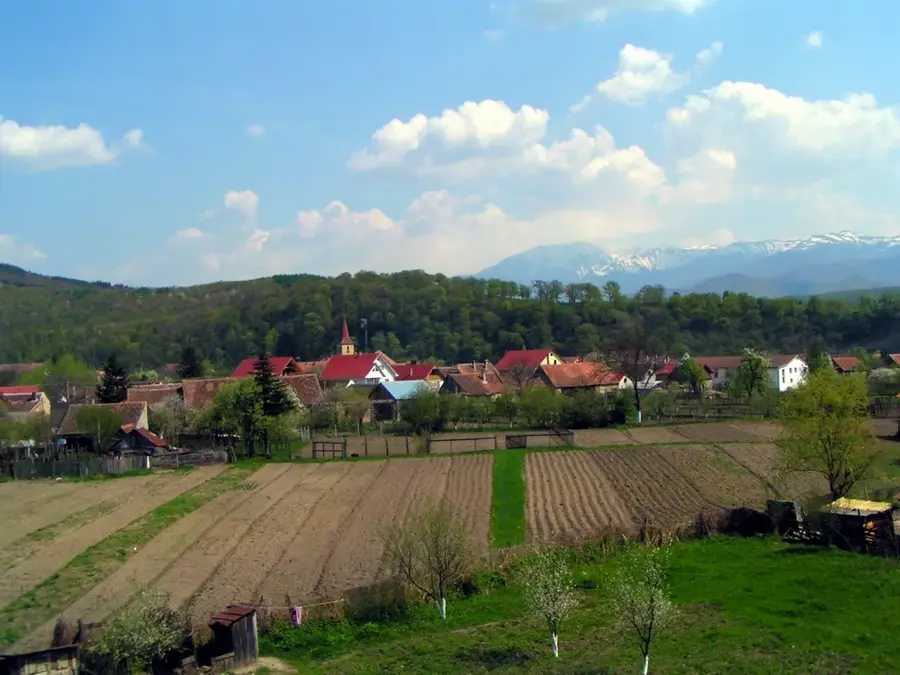
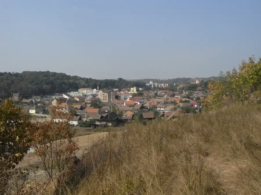
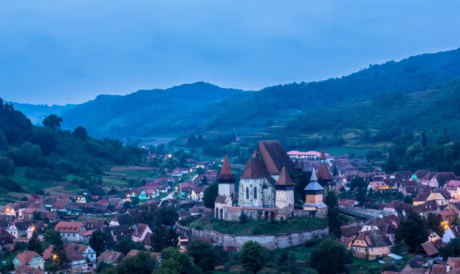
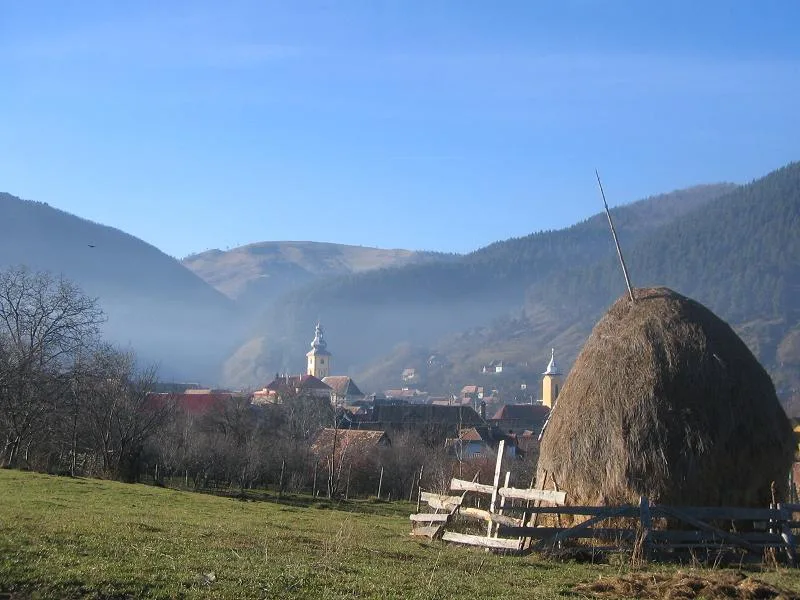
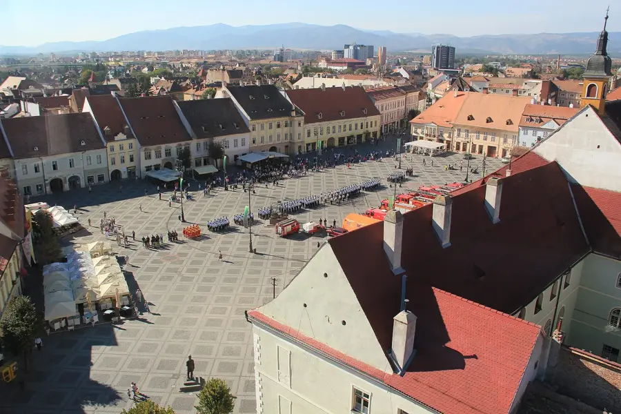
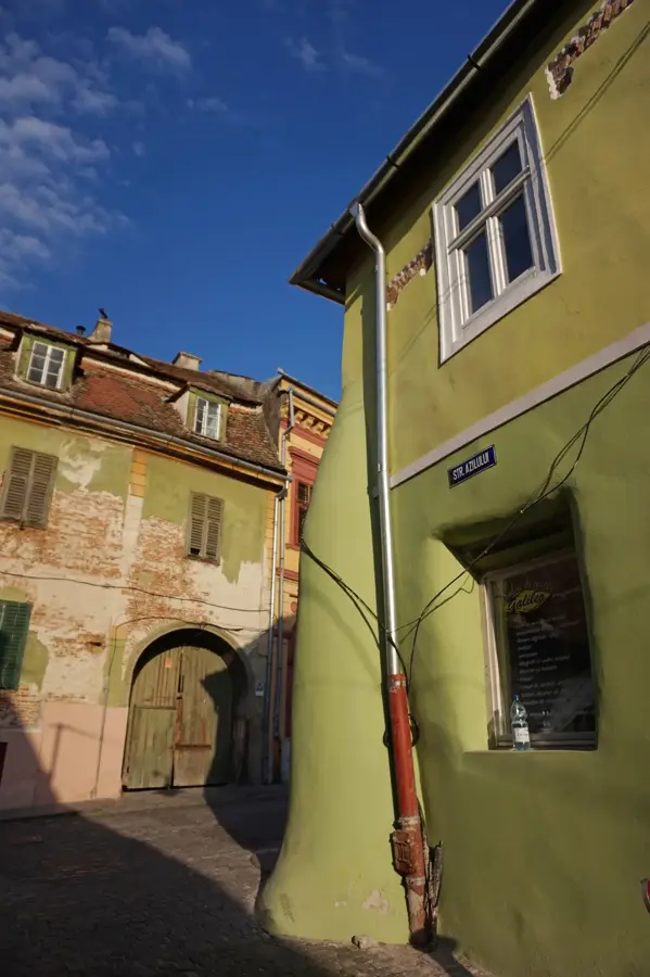
- Location: Sibiu, Romania
- Top sights: Fresh-meat · Lăițel · Iezerul Caprei
- Nearby: Victoria (11 km)
Best time to visit & climate
The most pleasant time to visit is Jul–Sep.
| Jan | Feb | Mar | Apr | May | Jun | Jul | Aug | Sep | Oct | Nov | Dec | |
|---|---|---|---|---|---|---|---|---|---|---|---|---|
| Avg °C | -5 | -3 | 1 | 7 | 12 | 16 | 18 | 18 | 13 | 8 | 2 | -3 |
| Rain mm | 41 | 37 | 48 | 62 | 96 | 117 | 105 | 76 | 62 | 62 | 48 | 46 |
📋 Practical info
Geography
Facts
- Șura Peak stands at an altitude of 2,274 meters (7,460 feet).
- It is a key waypoint on the main ridge trail of the Parâng Mountains.
- The peak overlooks the Mija glacial cirque to the north.
- It consists of ancient metamorphic rocks formed during the Hercynian period.
- The summit is often a starting point for specialized winter climbing routes.
- The name 'Șura' is a local term often referring to a barn or a large shelter.
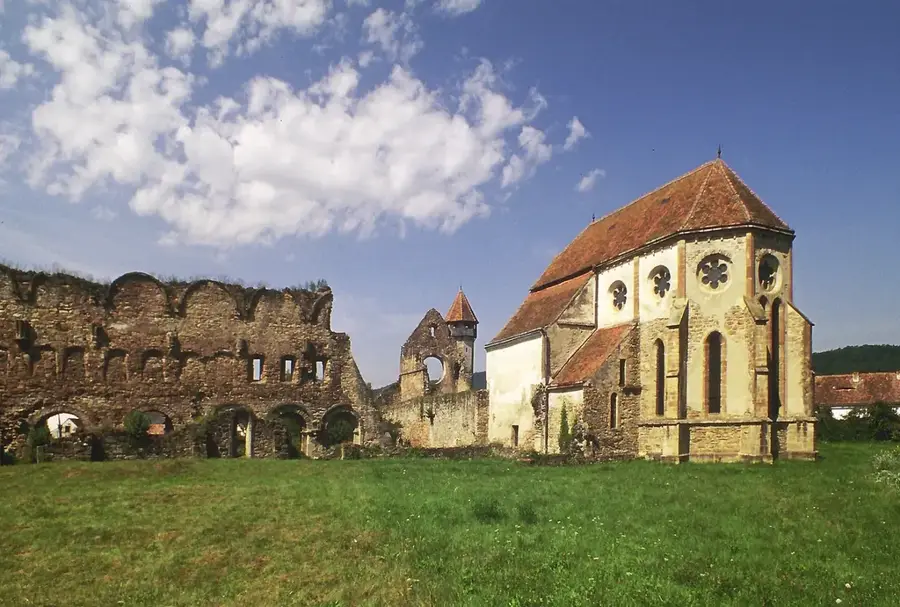
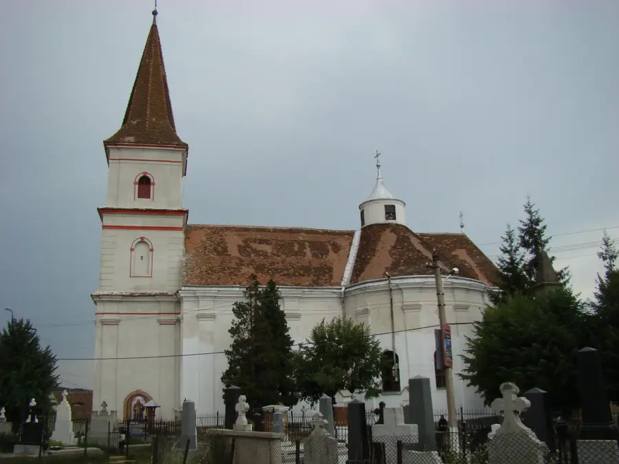
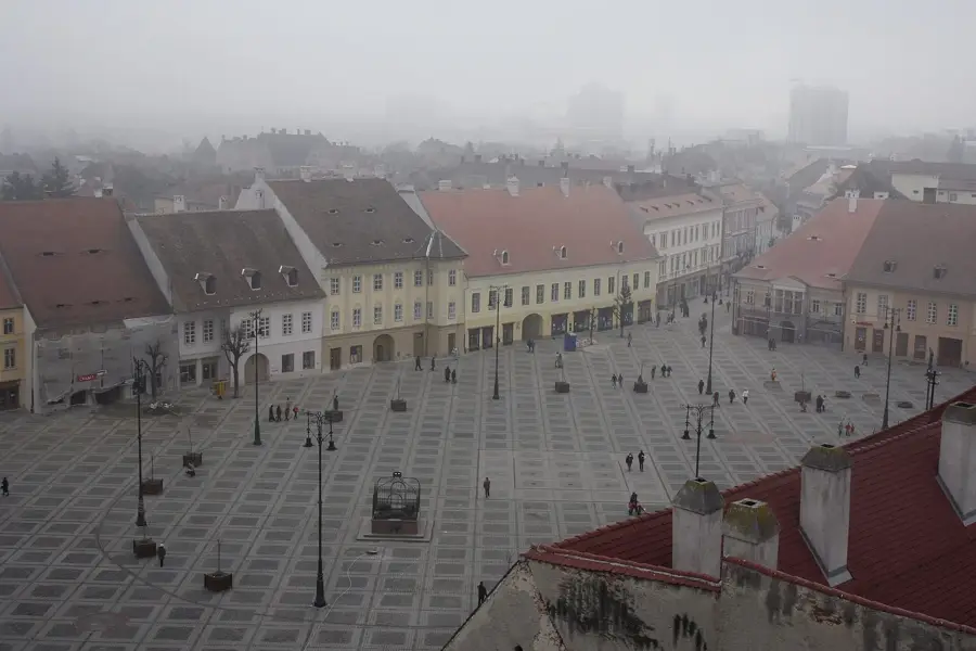
Explore nearby
Notable places around
Route planner — Car & Motorhome
Where do you start? We build the route here, with stops and country notes along the way.
© OpenStreetMap contributors · OpenRouteService
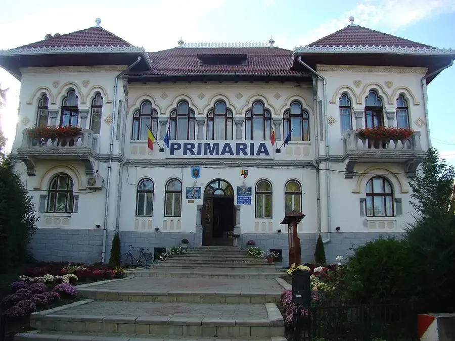
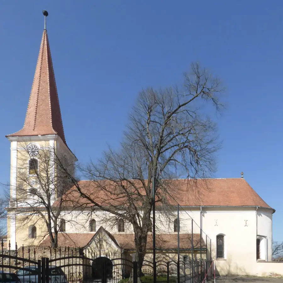
Sights in the town Șura Peak (3)
Sights nearby
Frequently asked questions
Where is the Șura peak located?
How difficult is the hike?
Are there water sources on the trail?
What is the best time to visit?
Is camping allowed on the summit?
Șura Peak: where is it located?
Șura Peak: what is there to see?
Șura Peak: when is the best time to visit?
Șura Peak: why is it worth visiting?

Nearby cities
History & landmarks

Nature

More places