Plizio Visual Lab
Căpățânii Mountains
Weather…
Water temperature…
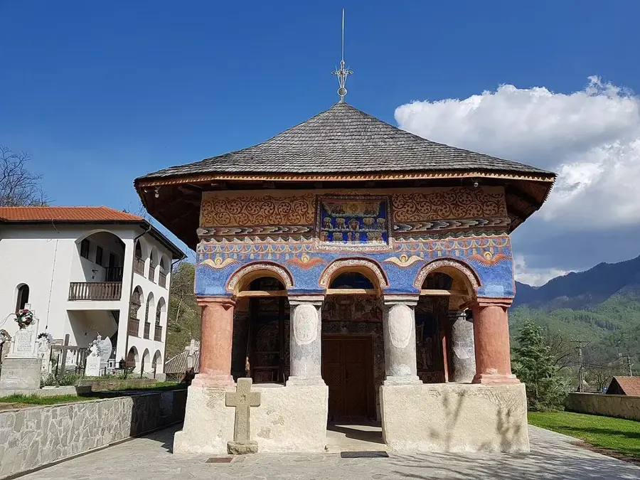
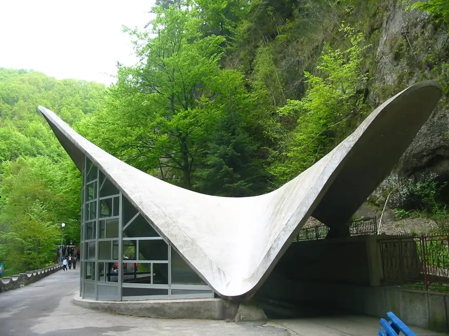
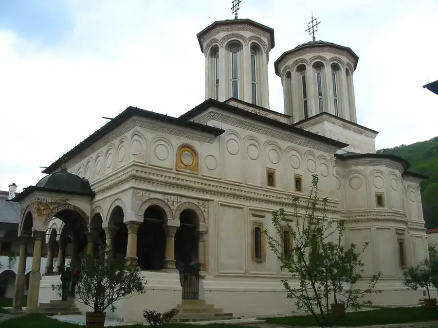
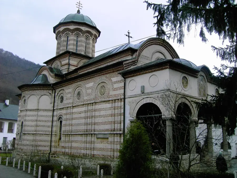
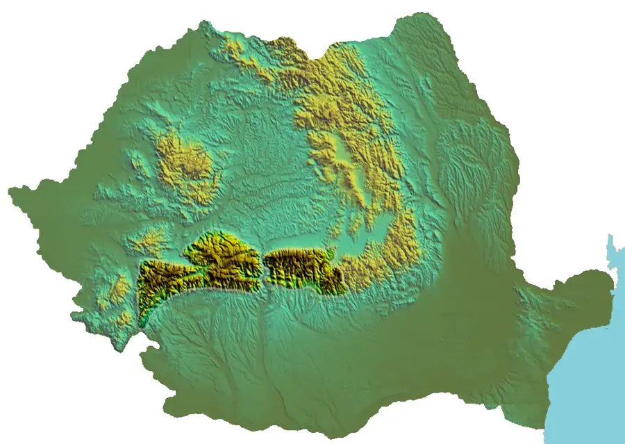
The Căpățânii Mountains are a subdivision of the Southern Carpathians in Romania, situated between the Olt River valley to the east and the Jiu River valley to the west. The highest peak of the massif is Nedeia, reaching an elevation of 2,130 meters. The range is characterized by a dual landscape: smooth, grassy ridges in the north and rugged limestone massifs in the south, most notably the Buila-Vânturărița National Park. Geologically, the core consists of crystalline schists, while the southern slopes feature thick limestone layers that have eroded into dramatic gorges and numerous caves. The region has deep historical and religious roots, with famous monasteries like Horezu (a UNESCO site) and Bistrița located at the foot of the mountains. Traditional pastoralism has shaped the local economy and culture for centuries, with high-altitude pastures still being used by shepherds today. The mountains host a diverse range of wildlife, including bears, wolves, and rare alpine plants. Although less commercially developed than the neighboring Făgăraș range, the Căpățânii Mountains offer pristine trails for experienced hikers seeking tranquility and natural beauty.
- Location: Vâlcea, Romania
- Nearby: Voineasa (8 km)
Best time to visit & climate
The most pleasant time to visit is Jul–Sep.
| Jan | Feb | Mar | Apr | May | Jun | Jul | Aug | Sep | Oct | Nov | Dec | |
|---|---|---|---|---|---|---|---|---|---|---|---|---|
| Avg °C | -6 | -4 | 0 | 5 | 10 | 14 | 16 | 17 | 12 | 6 | 2 | -4 |
| Rain mm | 45 | 42 | 53 | 70 | 103 | 122 | 109 | 78 | 64 | 66 | 52 | 50 |
📋 Practical info
Geography
Facts
- Nedeia Peak is the highest point of the range at 2,130 meters.
- The southern limestone ridge is protected within the Buila-Vânturărița National Park.
- The area is home to the famous Horezu Monastery, built in 1690.
- The Căpățânii Mountains cover an area of approximately 700 square kilometers.
- The Bistrița Gorges are among the narrowest limestone gorges in the country.
- The range is bounded by the Olt River to the east and the Lotru River to the north.
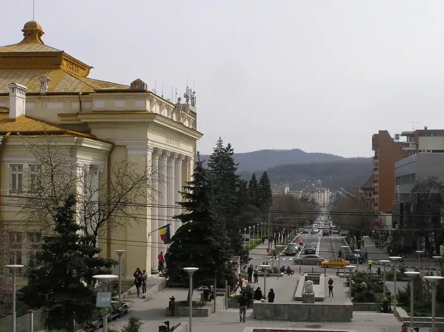
Explore nearby
Notable places around
Route planner — Car & Motorhome
Where do you start? We build the route here, with stops and country notes along the way.
© OpenStreetMap contributors · OpenRouteService
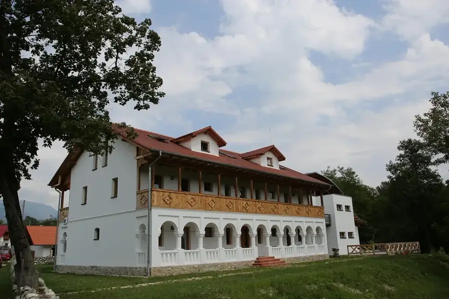
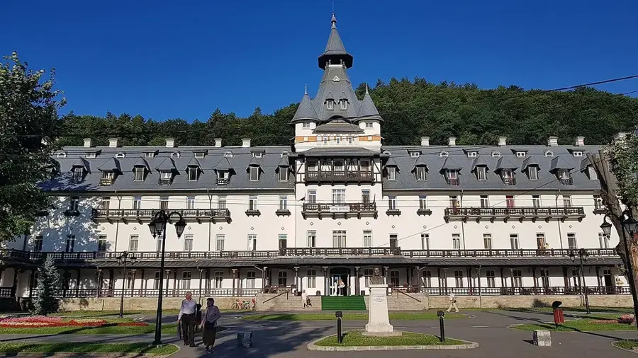
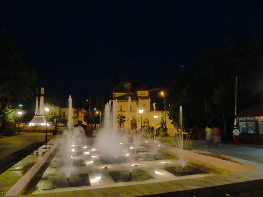
Sights in the town Căpățânii Mountains (1)
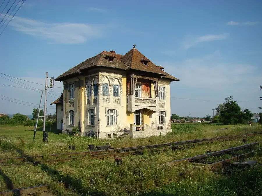
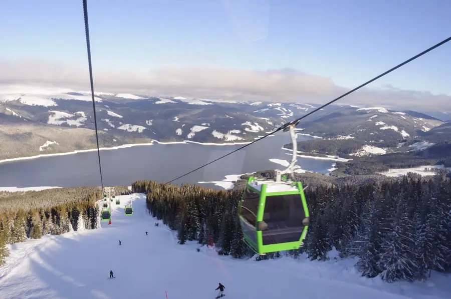
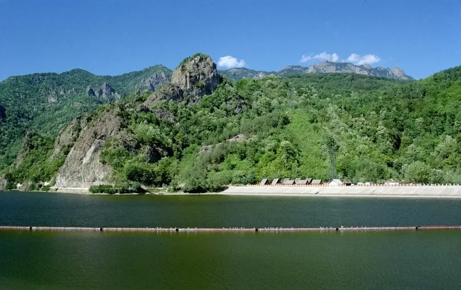
Sights nearby
Frequently asked questions
Where are the Căpățânii Mountains located?
What is the best-known natural landmark in these mountains?
Which is the highest peak in the Căpățânii Mountains?
Are these mountains well-developed for hiking?
Which monasteries can be visited nearby?
Căpățânii Mountains: where is it located?
Căpățânii Mountains: when is the best time to visit?
Căpățânii Mountains: why is it worth visiting?

Nearby cities