Plizio Visual Lab
Serra do Marão
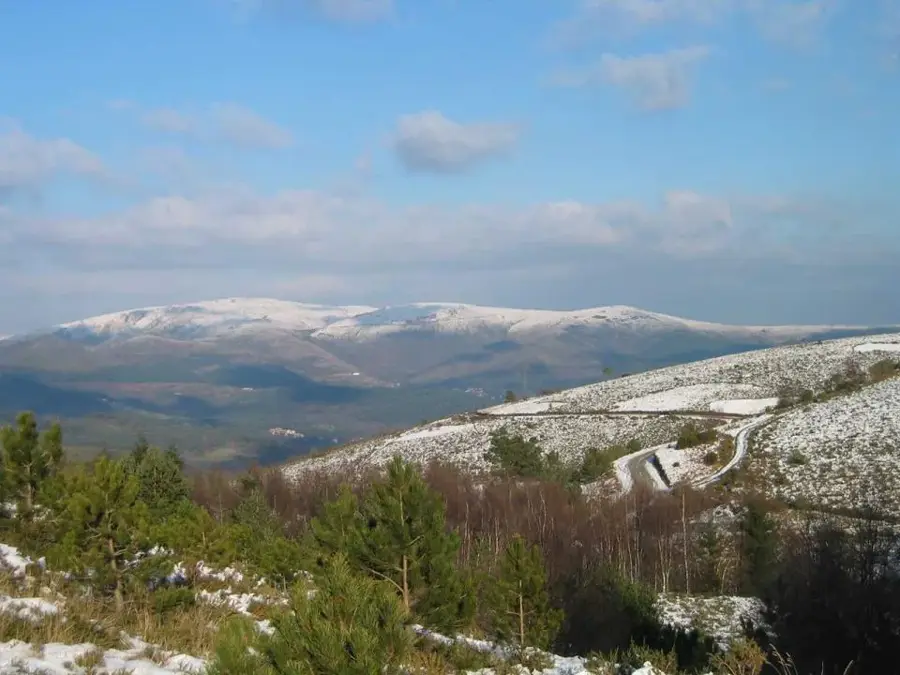
Serra do Marão is the seventh highest mountain range in mainland Portugal, reaching a maximum elevation of 1,415 meters at its peak, the Alto do Marão. Spanning the districts of Vila Real and Porto, it serves as a natural climatic and geographic barrier between the coastal Douro Litoral and the inland Trás-os-Montes plateau. Geologically, the range consists mainly of schist and granite, which defines both the rugged landscape and the vernacular architecture of the surrounding villages. Vegetation transitions from dense oak and pine forests at lower altitudes to alpine heaths and rocky outcrops near the summits. Historically a significant barrier to transit, the range is now traversed by the Marão Tunnel, one of the longest road tunnels on the Iberian Peninsula, opened in 2016. The area is ecologically vital, hosting populations of the Iberian wolf and various birds of prey. Cultural landmarks like the Chapel of Senhora do Marão offer pilgrims and hikers expansive views over the Douro Valley and the surrounding mountain systems.
- Location: Portugal
- Top sights: Minas do Teixo · Alto das Veias · Minas de Fonte Figueira
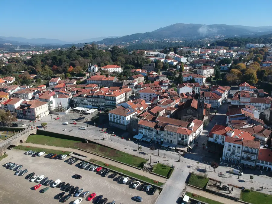
- Nearby: Tarouca (28 km)
Best time to visit & climate
The most pleasant time to visit is Jul–Sep.
| Jan | Feb | Mar | Apr | May | Jun | Jul | Aug | Sep | Oct | Nov | Dec | |
|---|---|---|---|---|---|---|---|---|---|---|---|---|
| Avg °C | 6 | 7 | 9 | 11 | 14 | 18 | 21 | 21 | 19 | 14 | 9 | 6 |
| Rain mm | 137 | 93 | 118 | 90 | 62 | 38 | 19 | 27 | 46 | 140 | 138 | 125 |
📋 Practical info
Geography
Facts
- The peak of Serra do Marão stands at 1,415 meters above sea level
- The range is composed of metamorphic rocks, mainly schist and granite
- The Marão Tunnel is the longest road tunnel in Portugal at 5.6 km
- It forms a major geographic boundary between coastal and inland regions
- The area is a known habitat for the protected Iberian wolf
- Annual rainfall in these mountains is among the highest in Portugal
Explore nearby
Notable places around
Route planner — Car & Motorhome
Where do you start? We build the route here, with stops and country notes along the way.
© OpenStreetMap contributors · OpenRouteService
Sights in the town Serra do Marão (5)
Sights nearby
Frequently asked questions
What is the highest peak in Serra do Marão?
Can you drive to the summit?
Are there hiking trails?
Which animals can be seen in Serra do Marão?
Are there accommodations there?
Serra do Marão: where is it located?
Serra do Marão: what is there to see?
Serra do Marão: when is the best time to visit?
Serra do Marão: why is it worth visiting?

Nearby cities