Plizio Visual Lab
Tâmega River
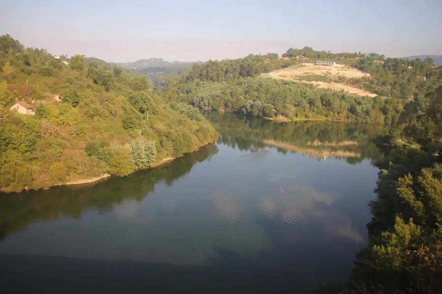
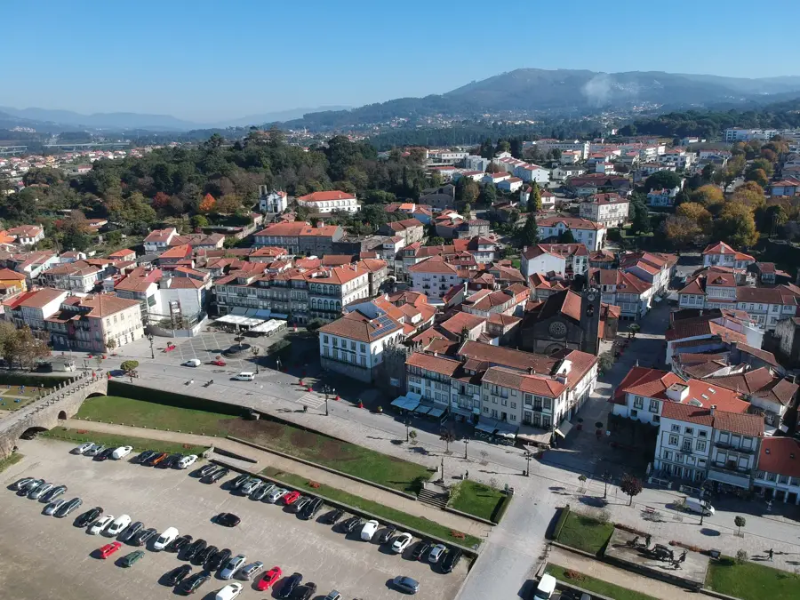
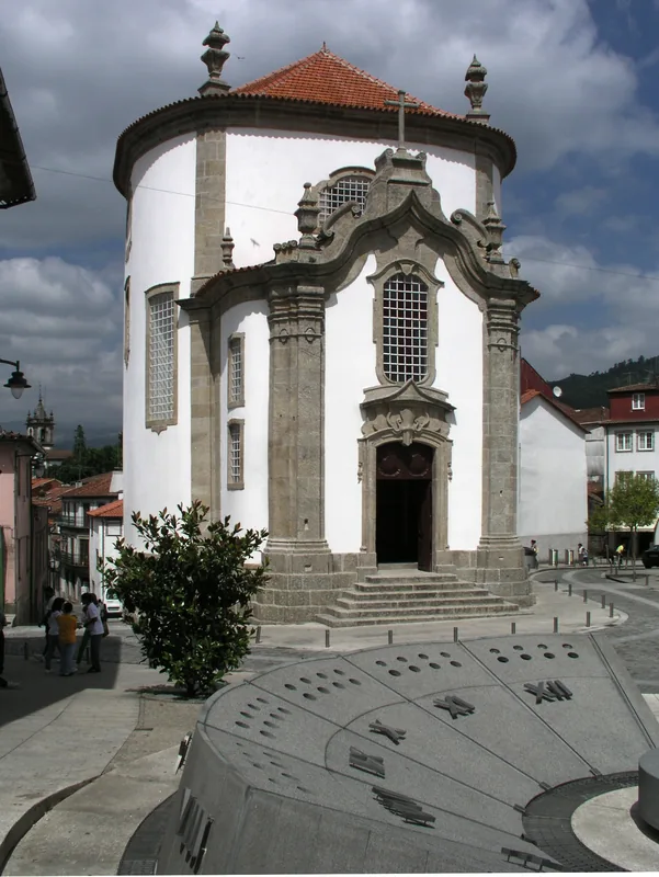
The Tâmega River is one of the principal tributaries of the Douro, originating in the Sierra de San Mamede in Galicia, Spain. It flows through northern Portugal for approximately 145 kilometers before joining the Douro at Entre-os-Rios. The river is celebrated for its scenic valleys and the historic settlements along its banks, notably the cities of Chaves and Amarante. Historically, the Tâmega was a vital artery for trade and regional defense, evidenced by iconic structures such as the Roman bridge in Chaves and the medieval São Gonçalo bridge in Amarante. The river basin supports a wide range of flora and fauna, although its natural flow has been significantly altered by the recent development of large-scale hydroelectric dams. These infrastructure projects generate substantial renewable energy but pose challenges for fish migration and aquatic biodiversity. Despite industrial interventions, the river remains a focal point for tourism, offering opportunities for fishing, canoeing, and riverside hiking. The surrounding valley is also renowned for its fertile lands and the production of the regional Vinho Verde wine.
- Location: Portugal
- Top sights: Torre de Nevões · Área Arqueológica do Freixo · Castro Soalhão
- Nearby: Penafiel (15 km)
Best time to visit & climate
The most pleasant time to visit is Jun–Aug.
| Jan | Feb | Mar | Apr | May | Jun | Jul | Aug | Sep | Oct | Nov | Dec | |
|---|---|---|---|---|---|---|---|---|---|---|---|---|
| Avg °C | 6 | 7 | 9 | 11 | 15 | 18 | 21 | 21 | 19 | 14 | 9 | 7 |
| Rain mm | 134 | 95 | 114 | 90 | 58 | 33 | 14 | 22 | 47 | 134 | 137 | 120 |
📋 Practical info
Geography
Facts
- The river flows for 145 kilometers from Spain to the Douro confluence
- Its source is located in the Galician province of Ourense
- The Tâmega Hydroelectric Complex is one of the largest in Europe
- The historic bridge of São Gonçalo was a site of resistance against Napoleon
- Important fish species in the river include trout and barbel
- The river basin is a significant area for the Vinho Verde wine region
Explore nearby
Notable places around
Route planner — Car & Motorhome
Where do you start? We build the route here, with stops and country notes along the way.
© OpenStreetMap contributors · OpenRouteService
Sights in the town Tâmega River (9)
Sights nearby
Frequently asked questions
Where does the Tâmega River rise?
Which well-known cities does the Tâmega flow through?
Can you do water sports on the Tâmega?
Does the Tâmega flow into the Douro?
Are there river beaches on the Tâmega?
Tâmega River: where is it located?
Tâmega River: what is there to see?
Tâmega River: when is the best time to visit?
Tâmega River: why is it worth visiting?

Nearby cities