Plizio Visual Lab
Serra da Gardunha North

Weather…
Water temperature…
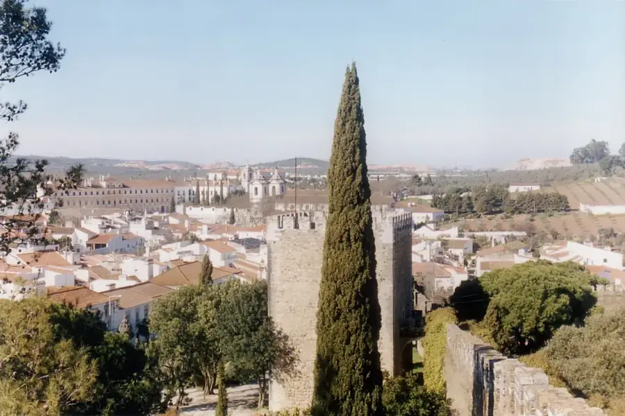
The Serra da Gardunha is located in the heart of central Portugal, forming the southern edge of the Cova da Beira basin. The northern relief reaches an elevation of 1,227 meters at the São Vicente point and is geologically characterized by the contrast between granite peaks and schist slopes. The region is nationally famous for the intensive cultivation of cherries, favored by the specific microclimate of the northern slopes. Historically, the mountain range was an important border post and sanctuary, reflected in its proximity to historical villages such as Castelo Novo. The vegetation is a mixture of pine forests and remnants of chestnut groves that once covered the entire region. Today, the Serra da Gardunha is a popular destination for paragliders and hikers, who appreciate the steep drops and panoramic views of the neighboring Serra da Estrela.
- Location: Portugal
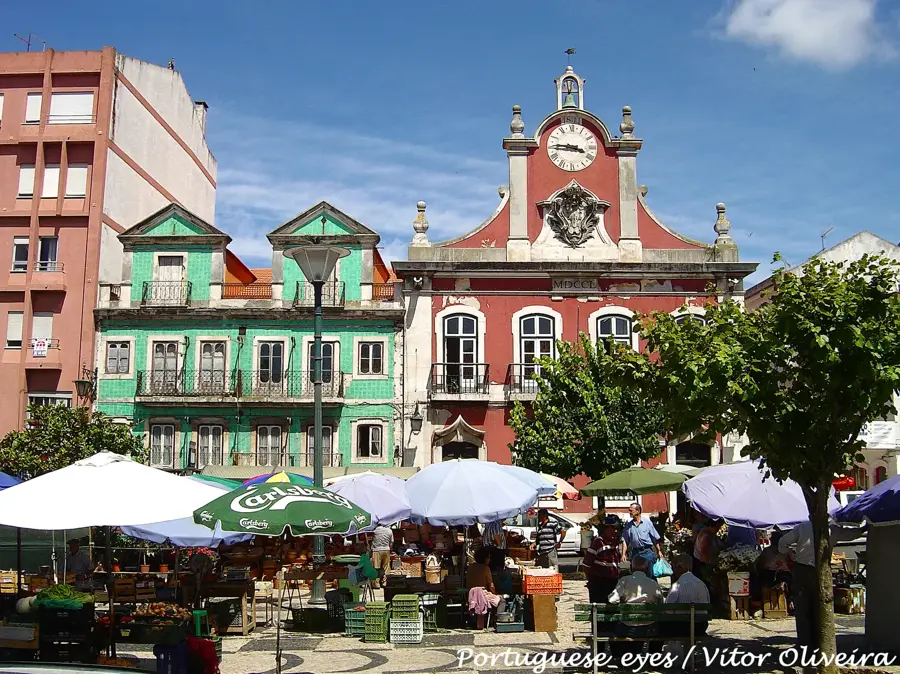
- Nearby: Fundão (5 km)
Best time to visit & climate
The most pleasant time to visit is Jun, Jul, Sep.
| Jan | Feb | Mar | Apr | May | Jun | Jul | Aug | Sep | Oct | Nov | Dec | |
|---|---|---|---|---|---|---|---|---|---|---|---|---|
| Avg °C | 6 | 7 | 10 | 13 | 16 | 21 | 25 | 25 | 22 | 16 | 10 | 7 |
| Rain mm | 109 | 88 | 104 | 88 | 53 | 24 | 9 | 13 | 43 | 133 | 128 | 109 |
📋 Practical info
Geography
Facts
- The cherries from Cova da Beira hold a Protected Designation of Origin.
- Geologically, the massif belongs to the Central Iberian Zone.
- The village of Alcongosta hosts the annual 'Festa da Cereja' festival.
- The mountain range is about 20 kilometers long and 10 kilometers wide.
- In the 12th century, the region was part of the defense line against Moors.
- Several trails connect the 'Aldeias Históricas' (historical villages) in the area.
Explore nearby
Notable places around
Route planner — Car & Motorhome
Where do you start? We build the route here, with stops and country notes along the way.
© OpenStreetMap contributors · OpenRouteService
Sights nearby
Frequently asked questions
What is this region known for?
Are there marked hiking trails?
How to reach the peaks?
Can you go mountain biking there?
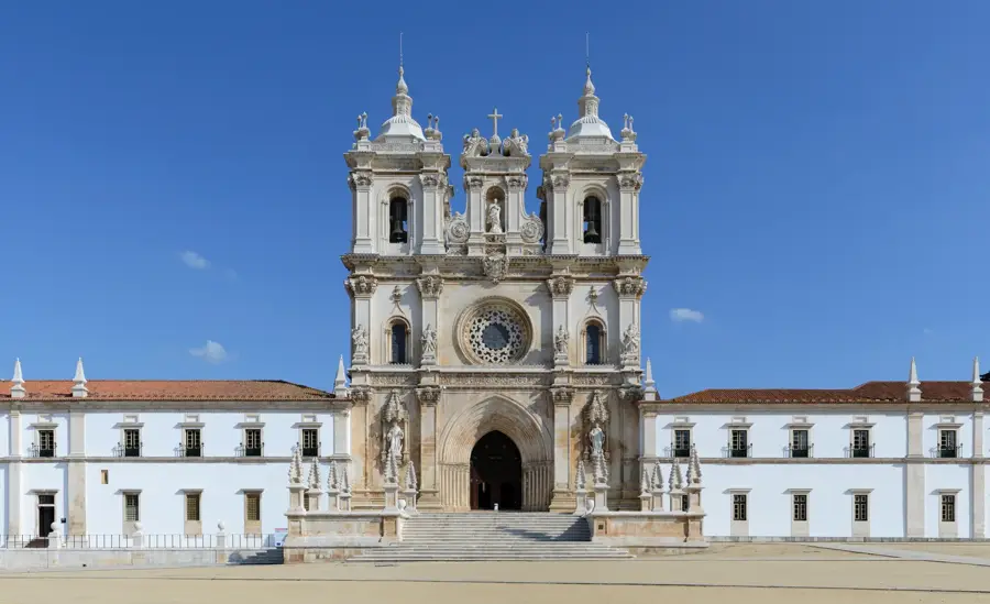
Are there historic villages nearby?
Serra da Gardunha North: where is it located?
Serra da Gardunha North: when is the best time to visit?
Serra da Gardunha North: why is it worth visiting?

Nearby cities


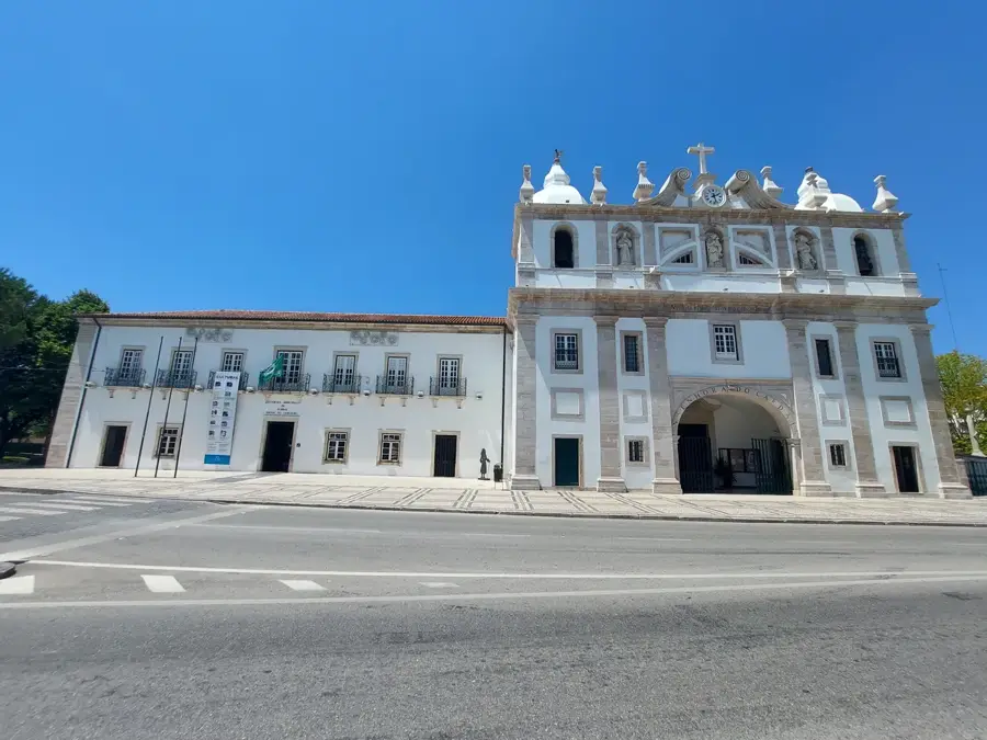
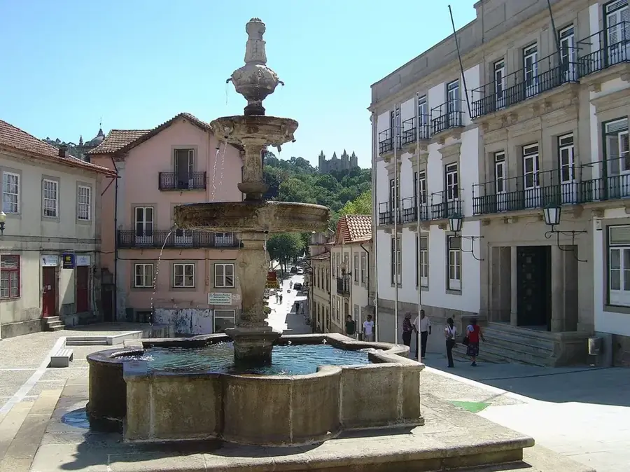
History & landmarks