Plizio Visual Lab
Skrzyczne
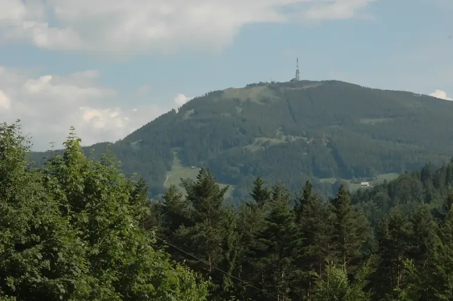
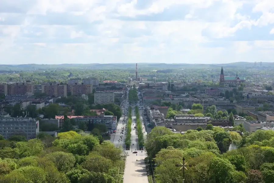
Skrzyczne dominates as the highest elevation of the Silesian Beskids, distinguishing itself clearly from the surrounding ridges with its characteristic profile. The summit area, composed of Cretaceous sandstone layers, has been sculpted by intense erosional processes into a prominent, steeply plunging cone. A widely visible landmark is the 87-meter-high transmitter tower, which is not only crucial for telecommunications but also serves as a reliable orientation point for hikers and skiers. The slopes of Skrzyczne are cloaked in dense coniferous forests that gradually thin out at higher elevations, giving way to expansive mountain meadows. The area is a premier center for winter sports in Poland; numerous FIS-homologated ski slopes wind their way down the steep flanks, while in the summer, an extensive network of mountain biking trails and hiking paths attracts outdoor enthusiasts.
- Location: Poland
- Top sights: Park Linowy Base Camp Szczyrk · Aqua Aries · Szyszka Park
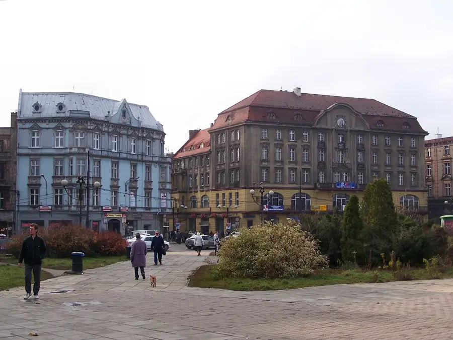
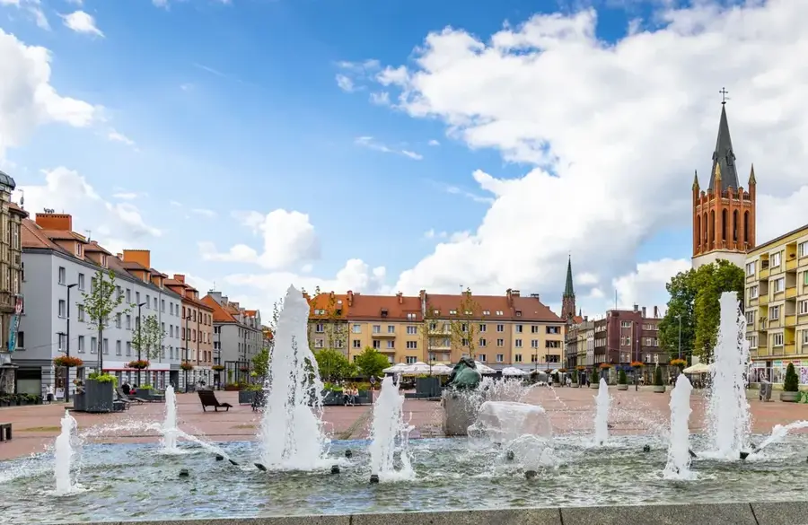
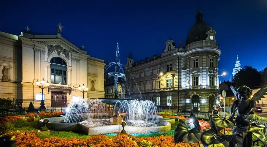
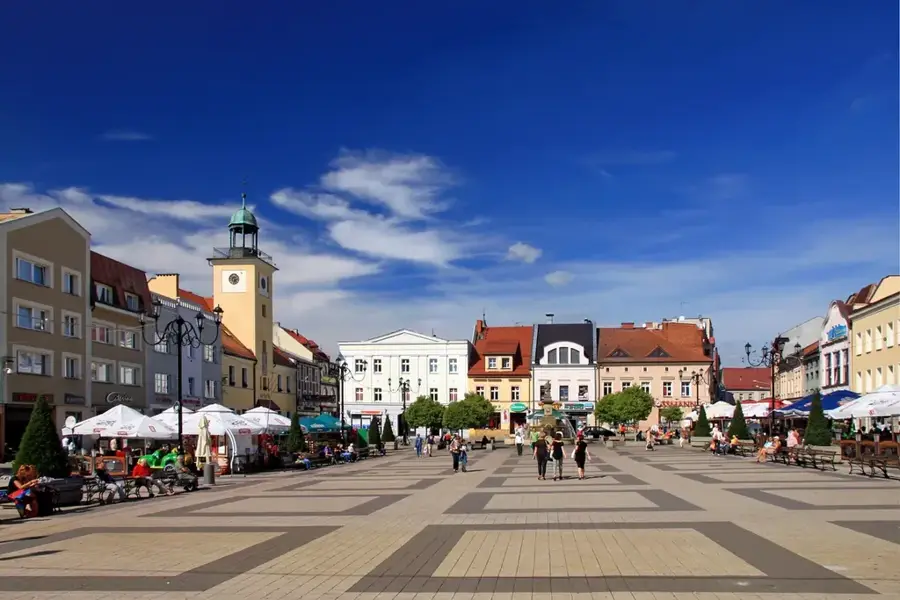
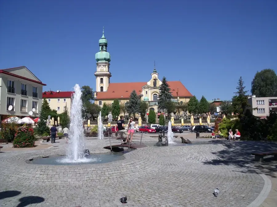
- Nearby: Szczyrk (5 km)
Best time to visit & climate
The most pleasant time to visit is Jun–Aug.
| Jan | Feb | Mar | Apr | May | Jun | Jul | Aug | Sep | Oct | Nov | Dec | |
|---|---|---|---|---|---|---|---|---|---|---|---|---|
| Avg °C | -4 | -3 | 1 | 7 | 12 | 16 | 18 | 18 | 13 | 8 | 3 | -3 |
| Rain mm | 65 | 57 | 61 | 58 | 104 | 107 | 114 | 87 | 89 | 71 | 60 | 59 |
📋 Practical info
Geography
Explore nearby
Notable places around
Route planner — Car & Motorhome
Where do you start? We build the route here, with stops and country notes along the way.
© OpenStreetMap contributors · OpenRouteService
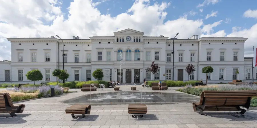
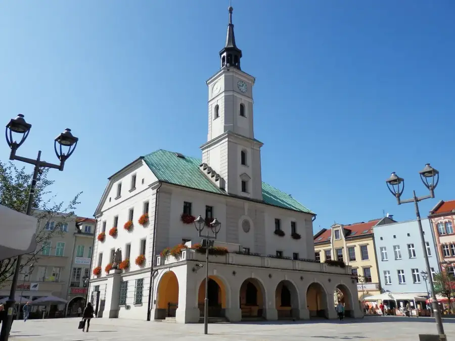
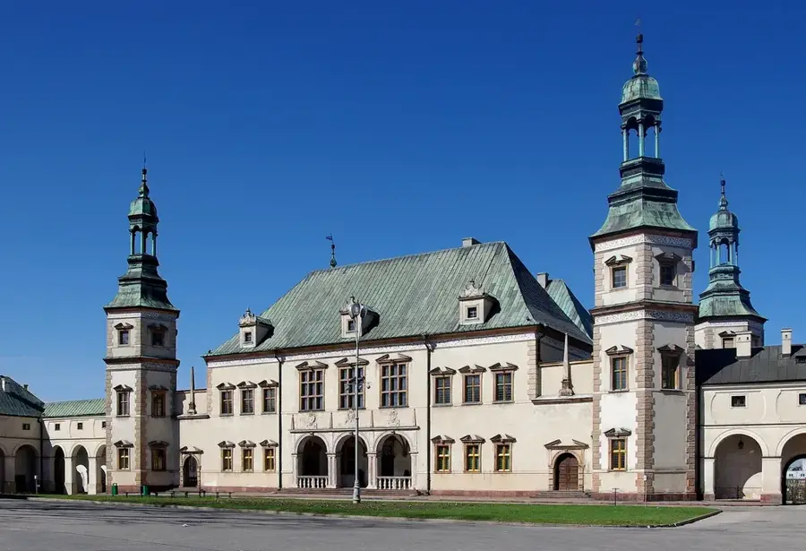
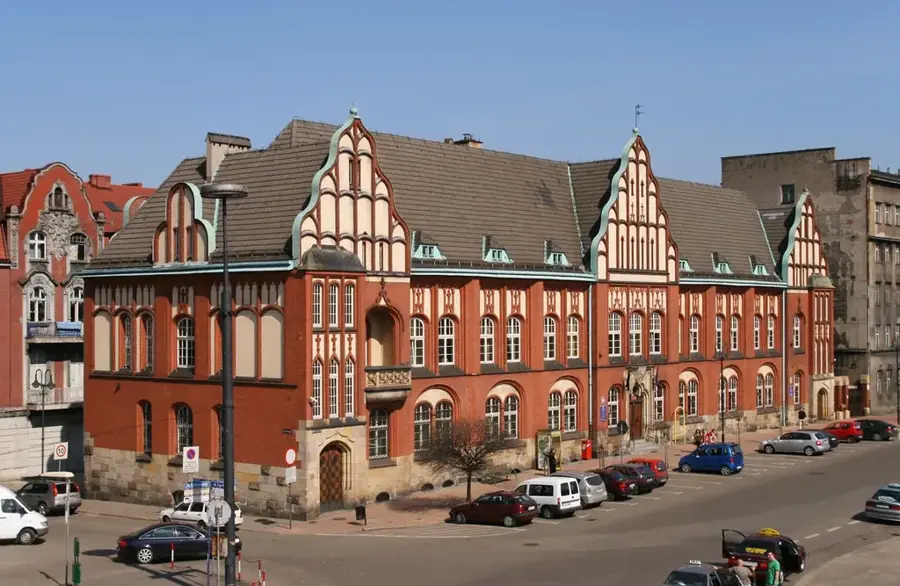
Sights in the town Skrzyczne (6)
Sights nearby
Frequently asked questions
How high is Skrzyczne?
Is there a lift to the summit?
What can you do at the summit?
Are there mountain biking trails there?
What is the view like from the summit?
Skrzyczne: where is it located?
Skrzyczne: what is there to see?
Skrzyczne: when is the best time to visit?
Skrzyczne: why is it worth visiting?

Nearby cities