Plizio Visual Lab
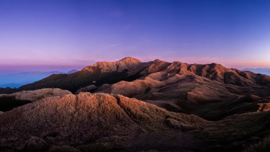
Mount Pulag
Weather…
Water temperature…
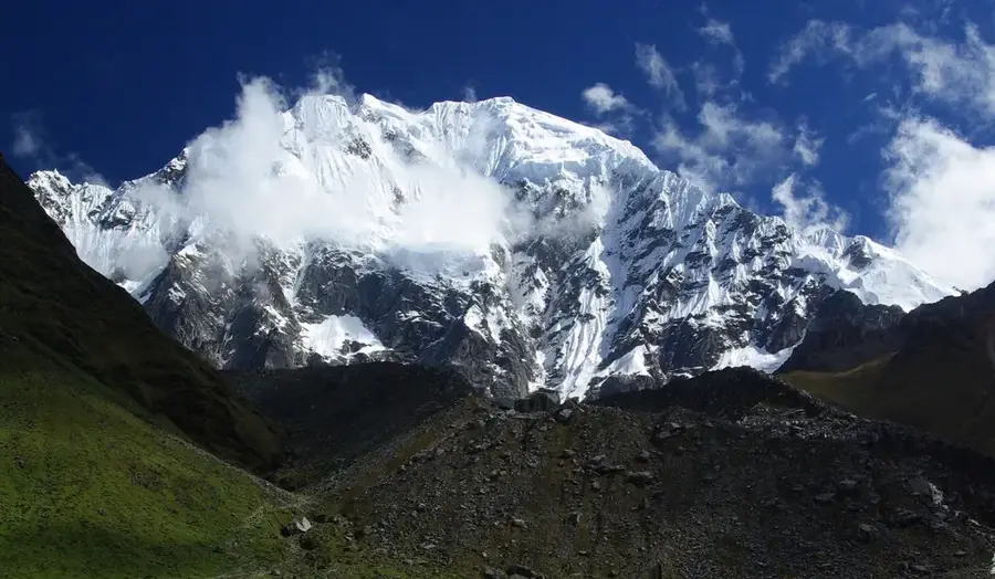
Mount Pulag, at 2,922 meters, is the highest peak on Luzon island, known for its unique relief that distinguishes it from other volcanic mountains. Its summit region is characterized by vast, rolling grasslands, in stark contrast to the steep, dense mossy forests of the middle elevations. The 'sea of clouds' phenomenon, which often surrounds the summit, is world-famous, giving visitors the feeling of standing above the clouds. Pulag's geology is defined by granite and sedimentary rocks, resulting in a gentler yet imposing mountain form. The cool highland climate and thin air create an alpine atmosphere rare for the Philippines. The mountain is a critical watershed for northern Luzon.
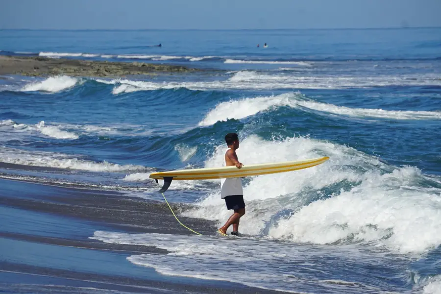
- Location: Philippines
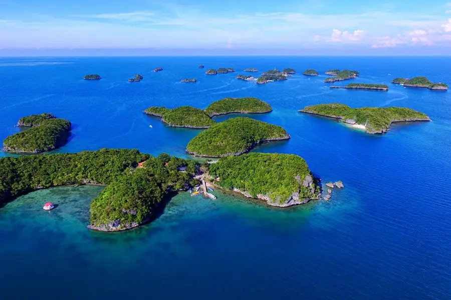
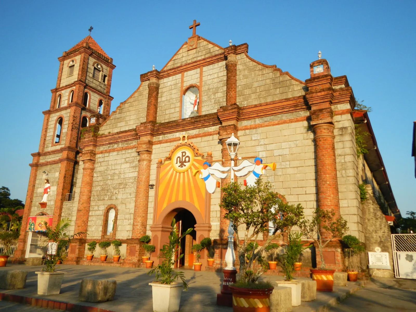
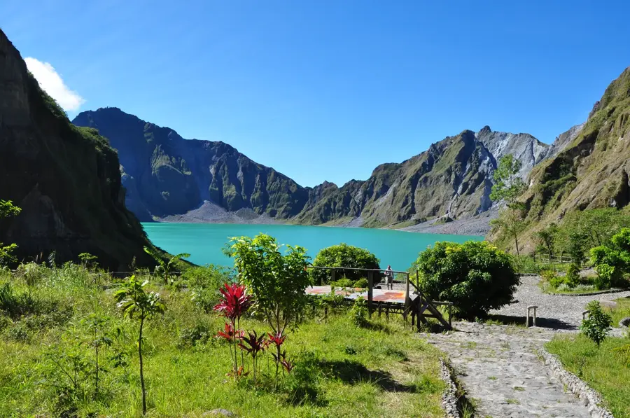
- Top sights: Mount Andok · Mount Palansa · Mount Libung
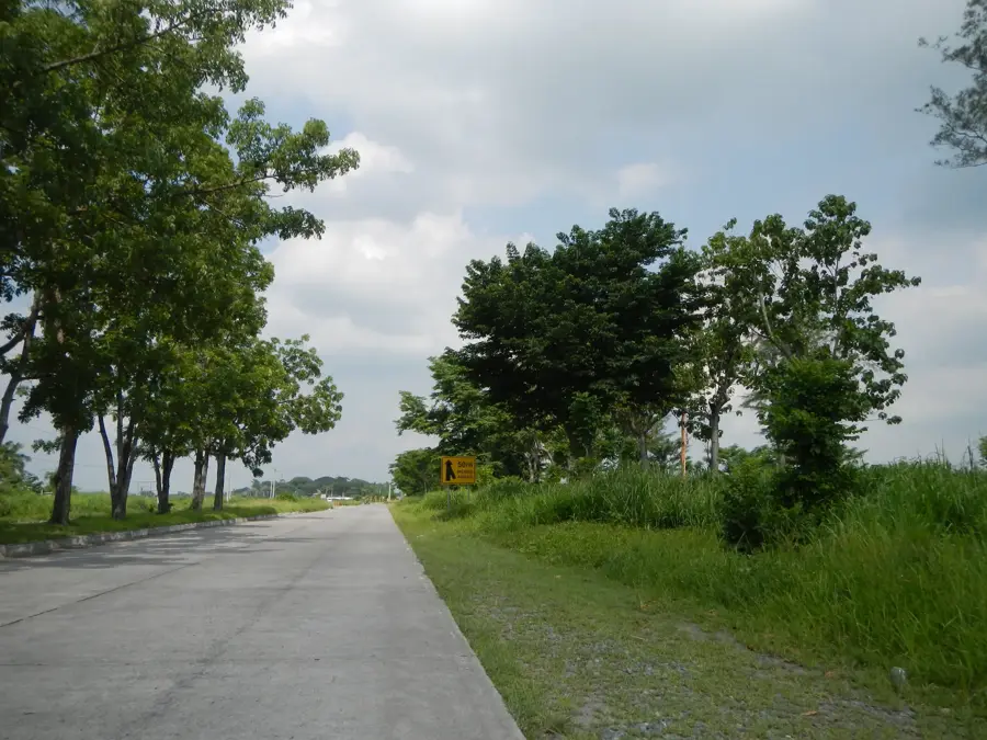
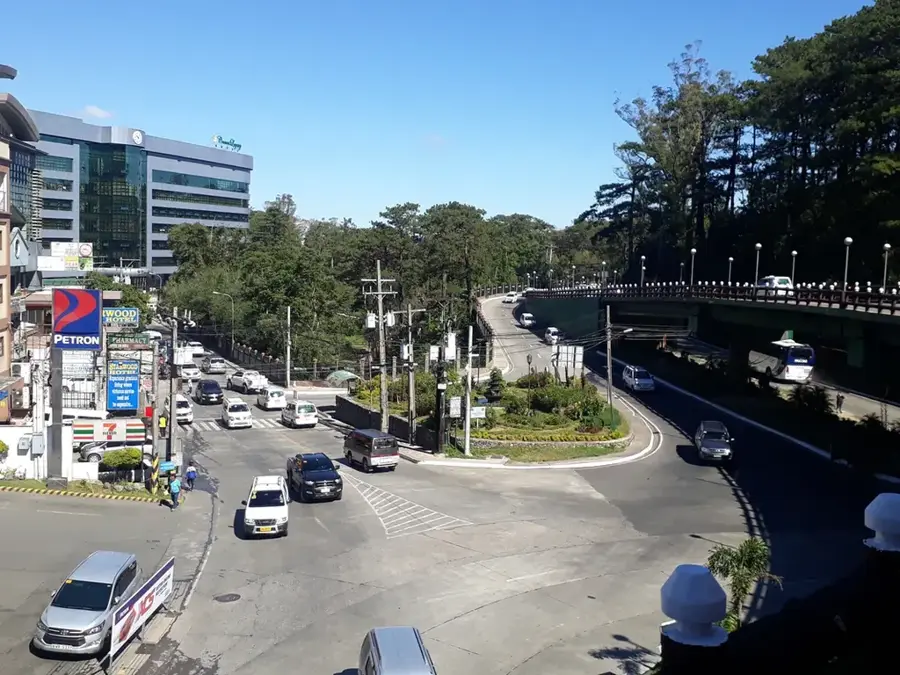
- Nearby: Baguio (34 km)
Best time to visit & climate
The most pleasant time to visit is Jan–Mar.
| Jan | Feb | Mar | Apr | May | Jun | Jul | Aug | Sep | Oct | Nov | Dec | |
|---|---|---|---|---|---|---|---|---|---|---|---|---|
| Avg °C | 19 | 20 | 22 | 24 | 25 | 24 | 24 | 23 | 23 | 22 | 22 | 20 |
| Rain mm | 115 | 103 | 117 | 102 | 238 | 263 | 383 | 390 | 320 | 342 | 335 | 313 |
📋 Practical info
Geography
Facts
- The summit region is often referred to as the 'Playground of the Gods'.
- Temperatures at the summit can drop below freezing at night.
- The grassland at the summit is composed of endemic dwarf bamboo.
- The mountain lies on the border of Benguet, Ifugao, and Nueva Vizcaya provinces.
- Four major trails lead to the summit, with the Ambangeg trail being the easiest.
- It is a key habitat for the endangered Luzon bushy-tailed cloud rat.
- The mountain was declared a National Park in 1987.
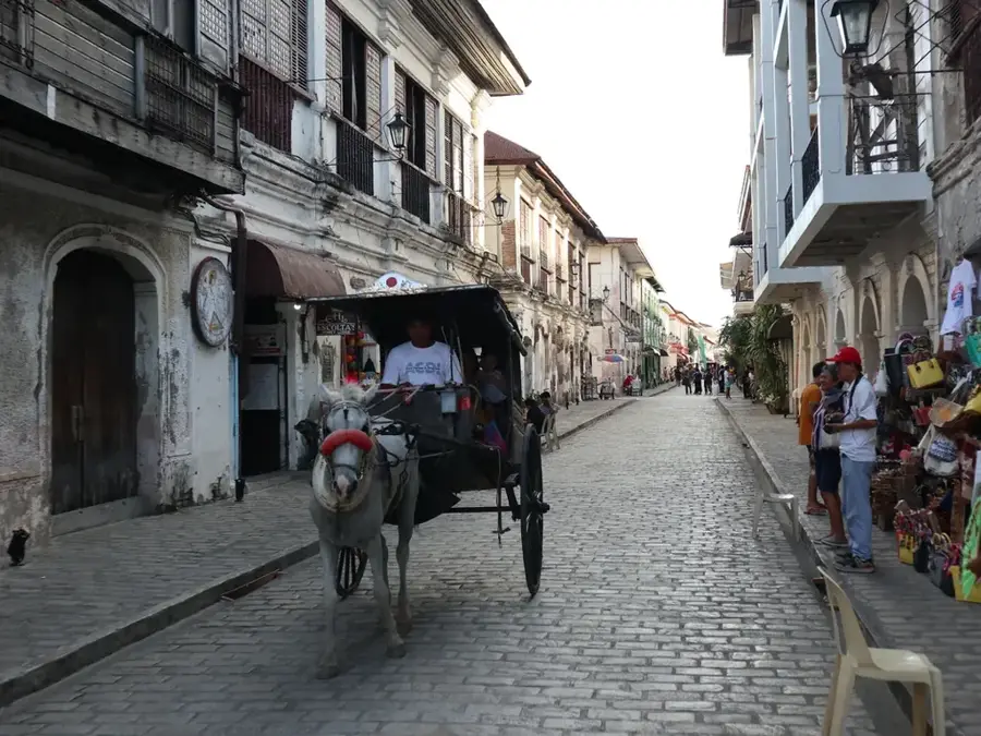
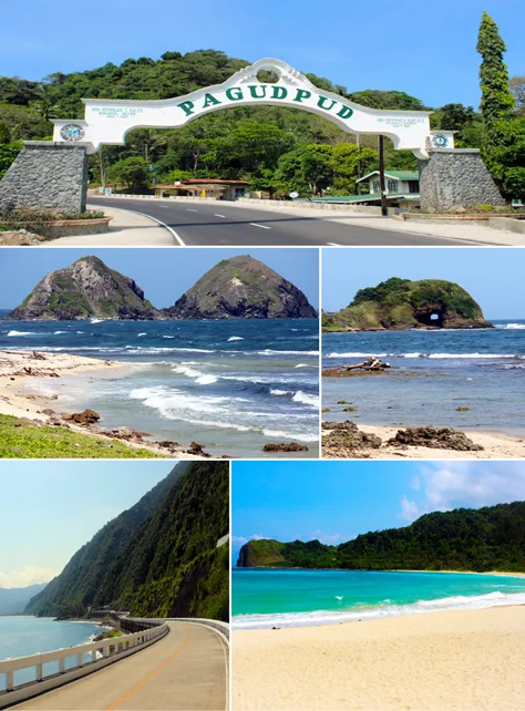
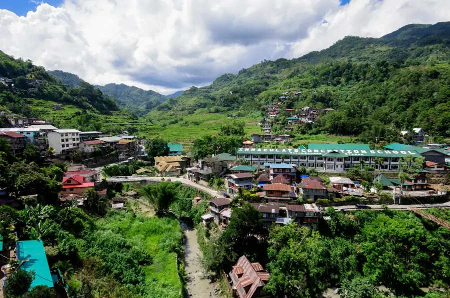
Explore nearby
Notable places around
Route planner — Car & Motorhome
Where do you start? We build the route here, with stops and country notes along the way.
© OpenStreetMap contributors · OpenRouteService
Sights in the town Mount Pulag (11)
Sights nearby
Frequently asked questions
What is Mount Pulag famous for?
How is the climate there?
Do you need to be fit?
Do I need a guide?
When should I book?
Mount Pulag: where is it located?
Mount Pulag: what is there to see?
Mount Pulag: when is the best time to visit?
Mount Pulag: why is it worth visiting?

Nearby cities

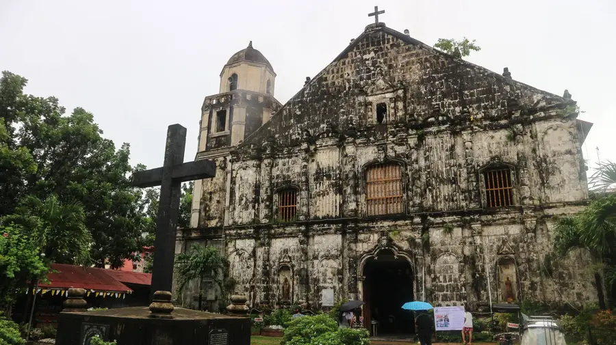

History & landmarks
More places