Plizio Visual Lab
Cordillera Central
Weather…
Water temperature…
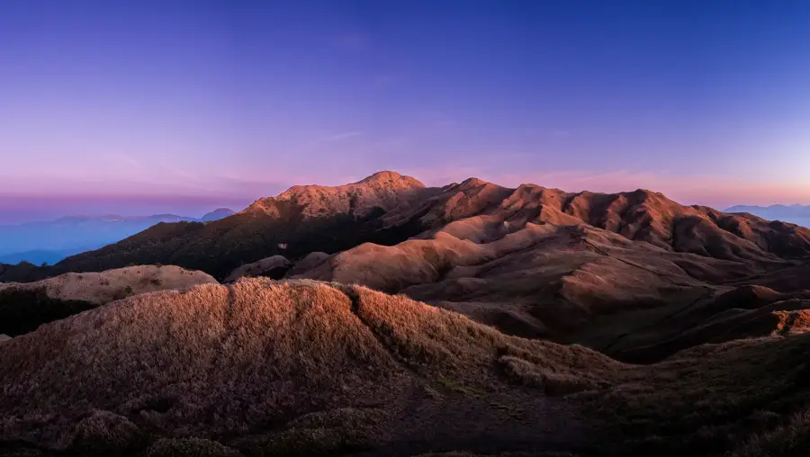
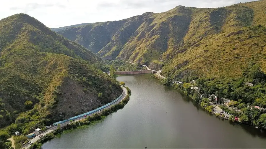
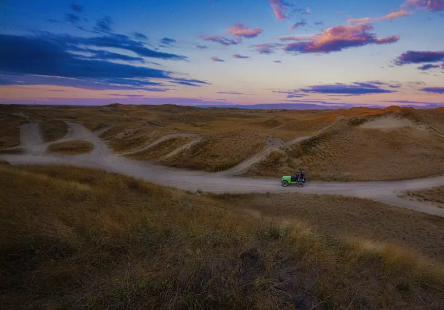
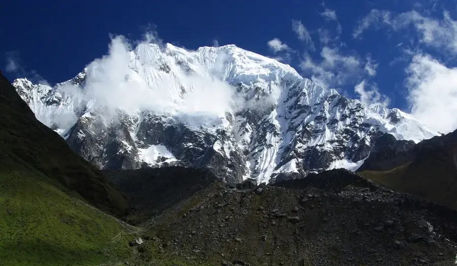
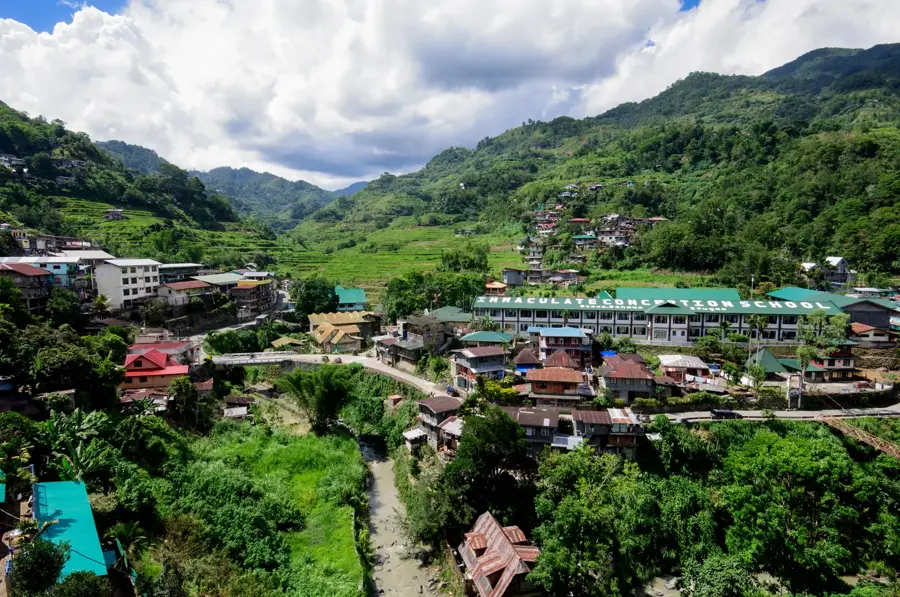
The Cordillera Central is the most massive and highest mountain relief in the Philippines, forming the backbone of Northern Luzon. This folded mountain range extends for 320 kilometers and hosts the country's highest peaks outside of Mindanao, such as Mount Pulag. The relief is characterized by extremely steep slopes, deep river valleys, and narrow ridges. The geomorphological dynamics are high, leading to frequent landslides during the typhoon season. Over millennia, the indigenous peoples of the region, such as the Ifugao, have transformed the relief by building rice terraces, creating a unique cultural landscape. The Cordillera serves as the most important water reservoir for Luzon, as the sources of numerous large rivers originate here. The cool highland climate clearly distinguishes the relief from the tropical lowlands.
- Location: Philippines
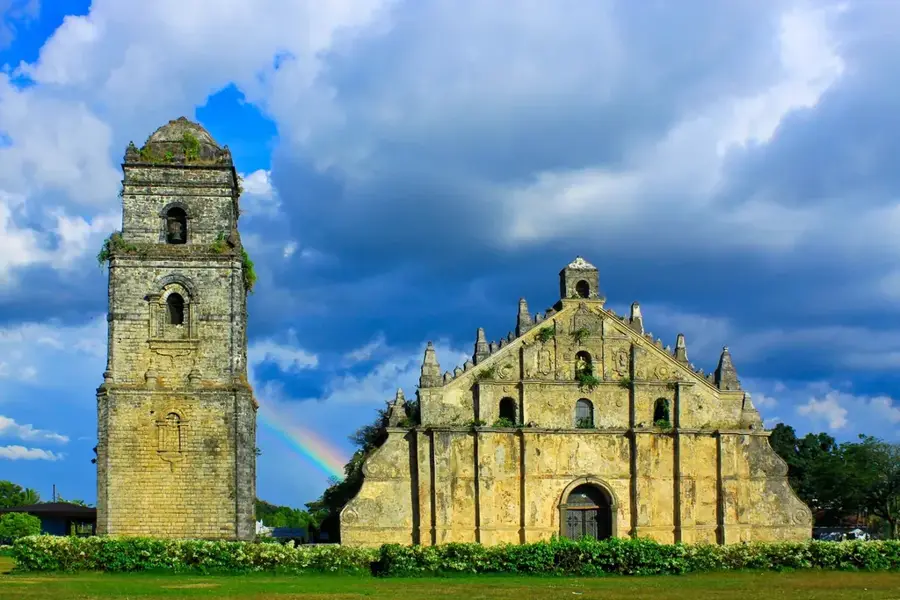
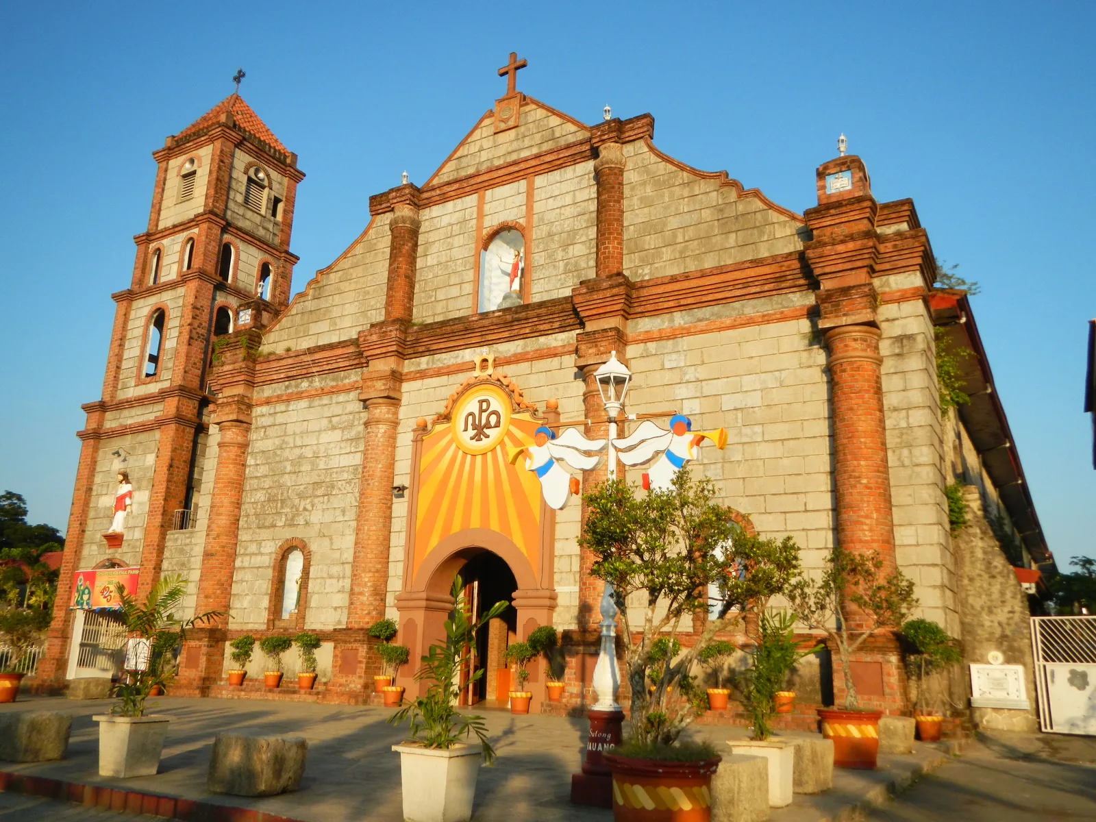
- Top sights: Church of Saint Mary the Virgin · Ganduyan Museum · Bontoc Museum
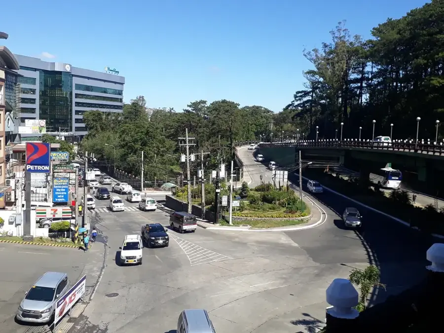
- Nearby: Baguio (52 km)
Best time to visit & climate
The most pleasant time to visit is Jan–Mar.
| Jan | Feb | Mar | Apr | May | Jun | Jul | Aug | Sep | Oct | Nov | Dec | |
|---|---|---|---|---|---|---|---|---|---|---|---|---|
| Avg °C | 19 | 20 | 22 | 25 | 25 | 25 | 24 | 24 | 24 | 23 | 22 | 20 |
| Rain mm | 76 | 68 | 77 | 79 | 228 | 284 | 385 | 425 | 322 | 317 | 286 | 264 |
📋 Practical info
Geography
Facts
- The rice terraces are over 2,000 years old.
- The region is rich in mineral deposits, particularly gold and copper.
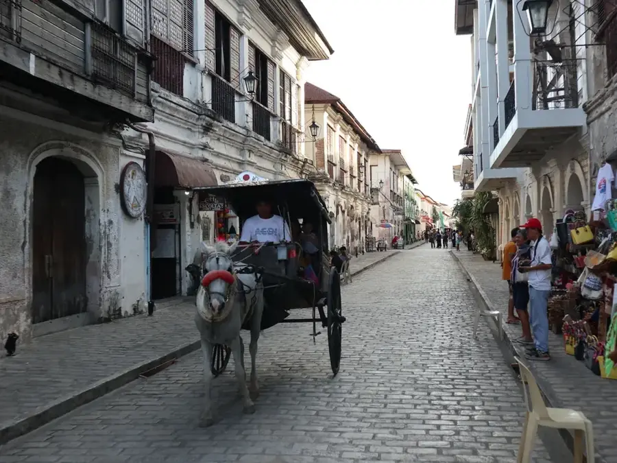
- Baguio, the 'Summer Capital of the Philippines', is located in this mountain range.
- The Cordillera is home to approximately 1.5 million indigenous people.
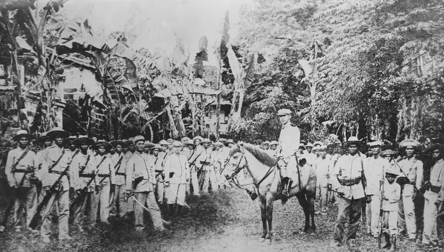
- The name 'Igorot' was a Spanish term for 'mountain people'.
- Halsema Highway is one of the highest altitude highways in the Philippines.
- The mountains are crucial to the watershed of Central Luzon.
Explore nearby
Notable places around
Route planner — Car & Motorhome
Where do you start? We build the route here, with stops and country notes along the way.
© OpenStreetMap contributors · OpenRouteService
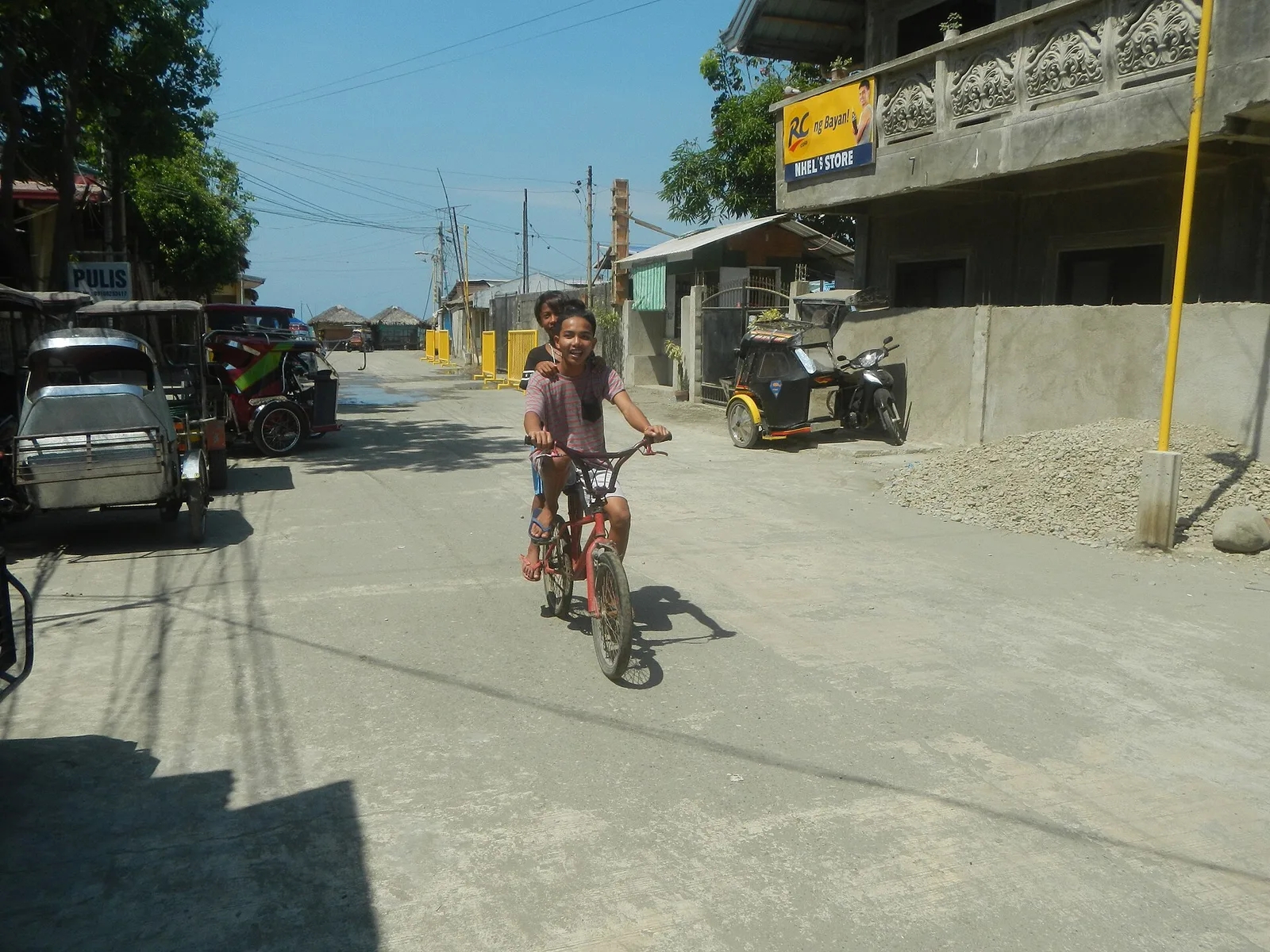
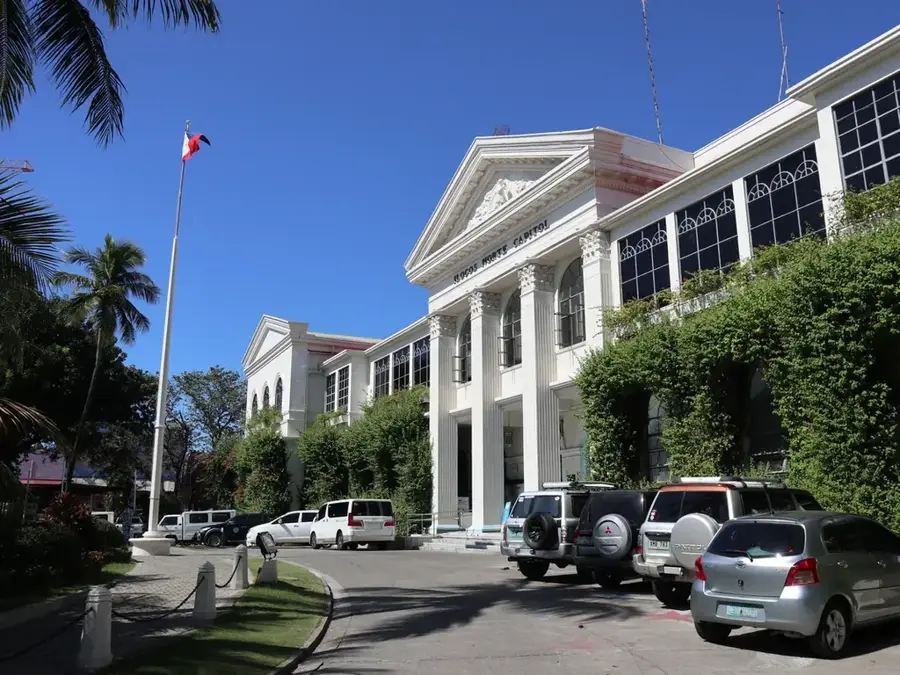
Sights in the town Cordillera Central (12)
Sights nearby
Frequently asked questions
What is Cordillera Central?
What is special there?
Is hiking safe there?
How is the weather?
Do I need special equipment?
Cordillera Central: where is it located?
Cordillera Central: what is there to see?
Cordillera Central: when is the best time to visit?
Cordillera Central: why is it worth visiting?

Nearby cities

History & landmarks
More places