Plizio Visual Lab
Mount Pinatubo (Capas)
ℹ️Practical info — Mount Pinatubo (Capas)
▾
🌤 Weather — 5 days
📍 Nearby
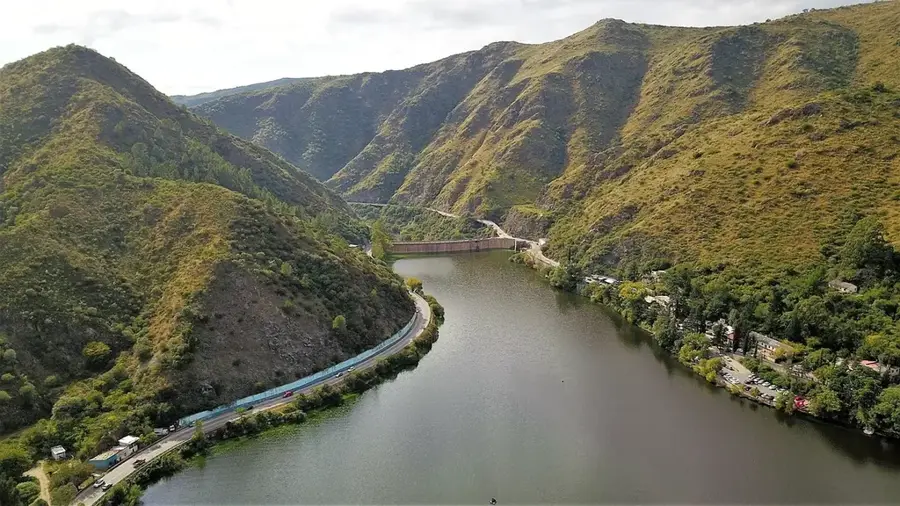
Sights nearby
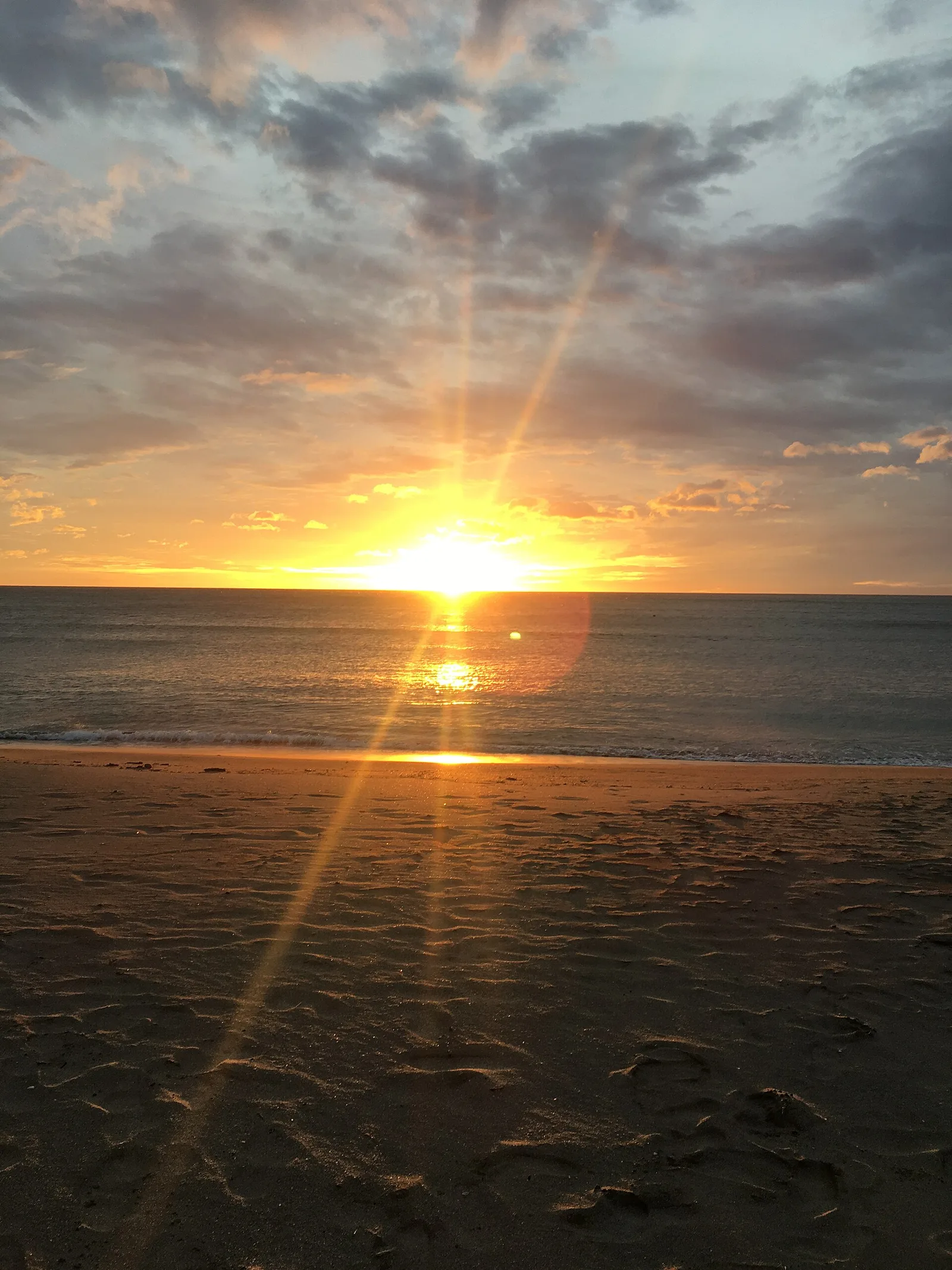
Water temperature…
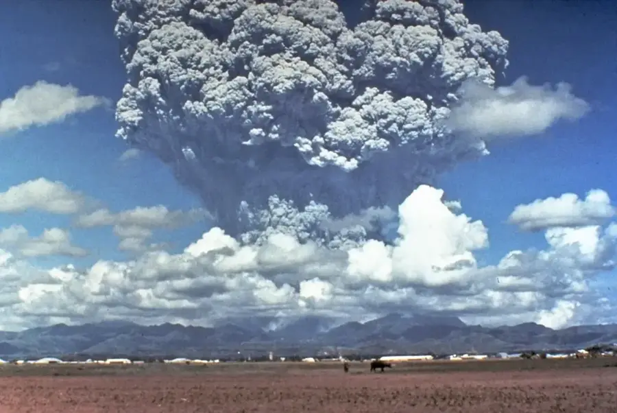
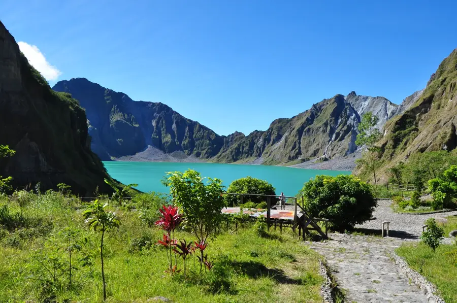
Mount Pinatubo, located on Luzon Island, gained worldwide notoriety following its 1991 eruption, the second-largest of the 20th century. Today, the volcano has been transformed into a premier destination for adventure seekers. The journey typically begins in Capas, Tarlac, involving a thrilling 4x4 jeep ride across vast lahar fields and through deep canyons, followed by a scenic trek to the crater’s edge. Trekkers are rewarded with the impressive sight of the Pinatubo crater lake, whose waters change from spirited turquoise to deep blue depending on the season. The surreal, moon-like landscape of ash and rock provides a powerful testament to nature’s raw power. The area is also home to the indigenous Aeta people, whose unique culture and history are deeply intertwined with the mountain. Dining during the trek is usually simple, with packed meals of rice and meat being common. However, back in the town of Capas, local eateries serve hearty Filipino fare to satisfy hungry adventurers. After the dusty and exhilarating journey, a warm local meal is the great way to conclude the trip. The best time for an expedition is during the dry season, from November to May, as heavy rains can make the 4x4 trails impassable. Tours start in the early hours of the morning to beat the heat. Good physical fitness and sturdy hiking shoes are highly recommended for this once-in-a-lifetime natural encounter.
- Location: Philippines
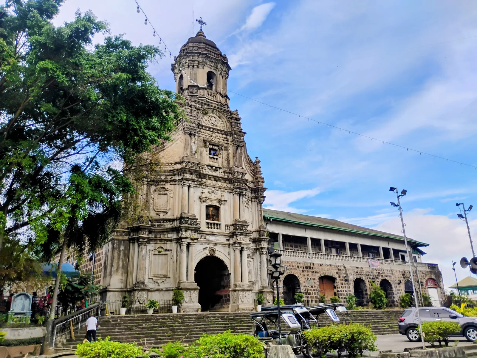
- Top sights: Kingdom Hall of Jehovah's Witnesses · Christ Centered Ministry Church · Capas First Baptist Church
- Nearby: Angeles City (11 km)
- Population: ~4.326 (2017)
Best time to visit & climate
The most pleasant time to visit is Jan, Feb, Dec.
| Jan | Feb | Mar | Apr | May | Jun | Jul | Aug | Sep | Oct | Nov | Dec | |
|---|---|---|---|---|---|---|---|---|---|---|---|---|
| Avg °C | 25 | 26 | 28 | 30 | 29 | 28 | 27 | 26 | 26 | 26 | 26 | 25 |
| Rain mm | 25 | 25 | 34 | 59 | 216 | 379 | 540 | 631 | 419 | 246 | 110 | 72 |
Geography
Facts
- Site of the second-largest volcanic eruption of the 20th century.
- The crater lake was formed only after the 1991 eruption.
- The 4x4 ride traverses spectacular lahar-filled canyons.
- Ancestral home of the indigenous Aeta people.
- The final hike to the crater takes about 30 to 60 minutes.
- The lake is approximately 600 meters deep at its lowest point.
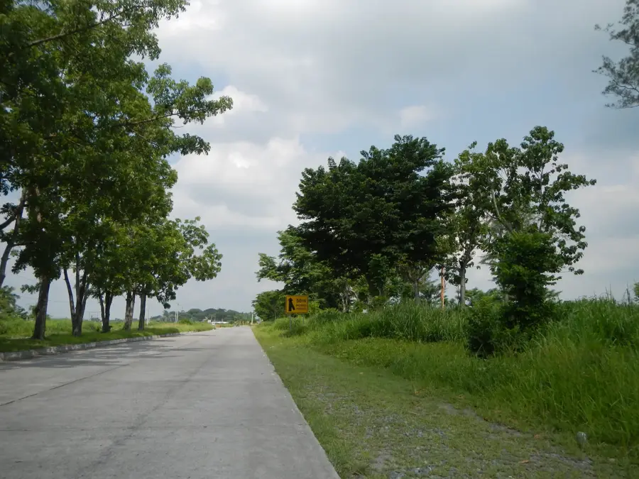
- Capas in Tarlac is the most popular jump-off point for tours.
- Swimming in the crater lake is often prohibited for safety.
Explore nearby
Notable places around
Route planner — Car & Motorhome
Where do you start? We build the route here, with stops and country notes along the way.
© OpenStreetMap contributors · OpenRouteService
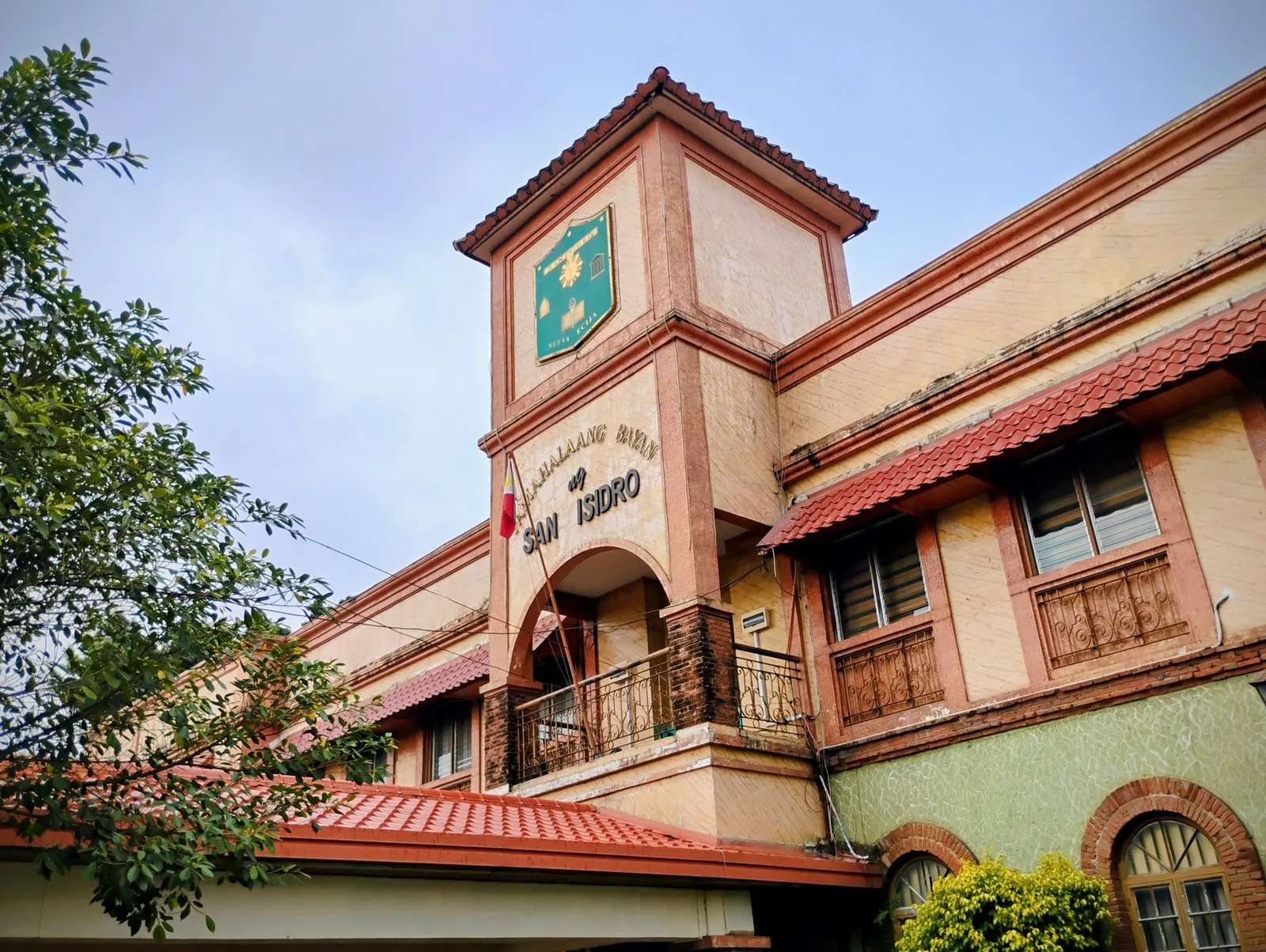
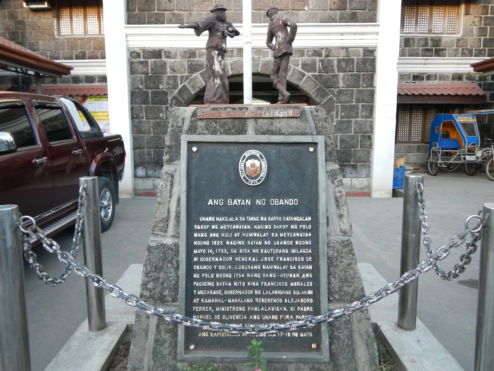
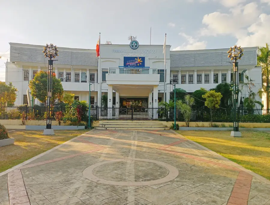
Sights in the town Mount Pinatubo (Capas) (6)
Frequently asked questions
Mount Pinatubo (Capas): where is it located?
Mount Pinatubo (Capas): what is there to see?
Mount Pinatubo (Capas): when is the best time to visit?
Mount Pinatubo (Capas): why is it worth visiting?

Nearby cities

History & landmarks
More places