Plizio Visual Lab
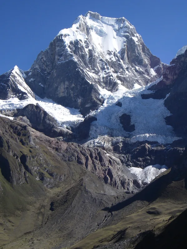
Yerupajá
Weather…
Water temperature…
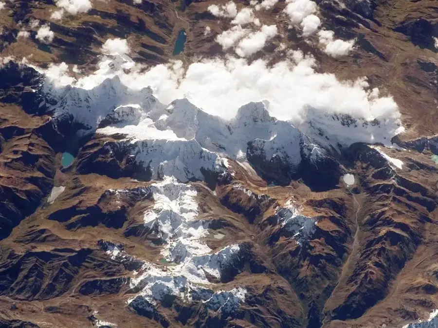
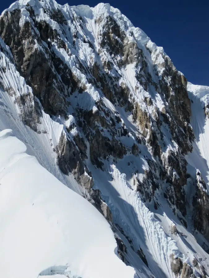
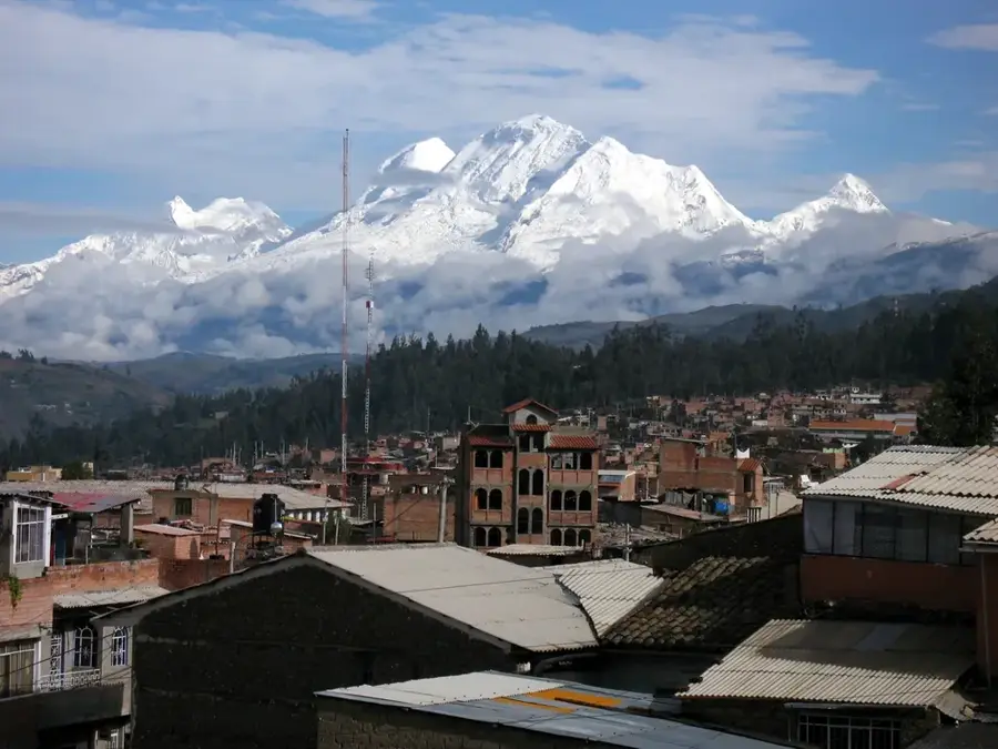
Yerupajá is a titan of the Andes, the highest peak in the Cordillera Huayhuash and the second tallest mountain in Peru at 6,634 meters. Its name in Quechua means 'White Sunrise,' a fitting tribute to its massive, jagged ice walls that glow brilliantly in the morning light. Yerupajá is considered one of the most difficult and dangerous peaks in the world to climb, earning it the nickname 'The Butcher.' Its extreme technical challenges, including vertical ice and unpredictable weather, mean that its summit is reached only by the most experienced mountaineers. The mountain dominates the Huayhuash range, a compact but incredibly dramatic cluster of peaks that offer some of the most spectacular trekking scenery on Earth. Yerupajá remains a powerful symbol of the untamed majesty of the high Andes.
- Location: Peru
- Top sights: Yerupajá Chico · Rasac · Yerupajá
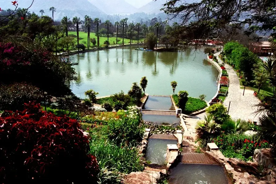
- Nearby: Lima (48 km)
Best time to visit & climate
The most pleasant time to visit is Aug–Oct.
| Jan | Feb | Mar | Apr | May | Jun | Jul | Aug | Sep | Oct | Nov | Dec | |
|---|---|---|---|---|---|---|---|---|---|---|---|---|
| Avg °C | 9 | 9 | 9 | 9 | 9 | 8 | 8 | 8 | 9 | 10 | 10 | 9 |
| Rain mm | 34 | 39 | 37 | 19 | 16 | 8 | 8 | 7 | 8 | 21 | 29 | 44 |
📋 Practical info
Geography
Facts
- The second-highest peak in Peru (6,634m) and the highest in the Amazon basin watershed.
- Known for its extreme climbing difficulty and its terrifying, vertical ice faces.
- The name comes from the Quechua 'yuraq' (white) and 'pajay' (to dawn).
- Its first successful ascent was in 1950 by Jim Maxwell and Dave Harrah.
- The mountain is the focal point of the world-famous Huayhuash Trek.
- Yerupajá Chico is its slightly smaller sister peak (6,121m) located nearby.
- The surrounding Cordillera Huayhuash was the setting for the famous survival story 'Touching the Void'.
- Essential for the water supply of the Marañón and Santa river systems.
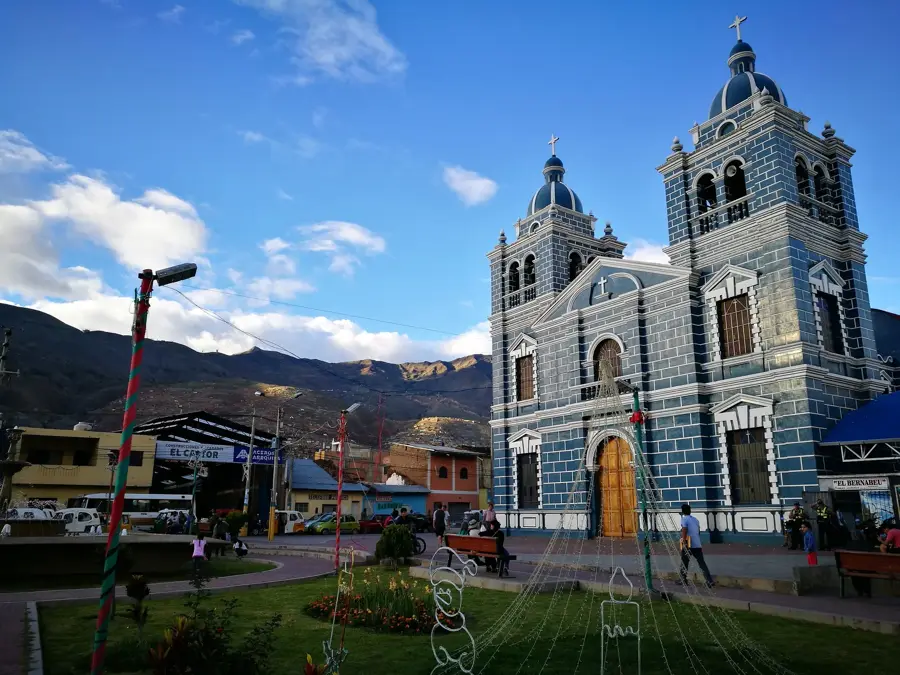
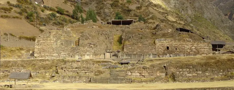
Explore nearby
Notable places around
Route planner — Car & Motorhome
Where do you start? We build the route here, with stops and country notes along the way.
© OpenStreetMap contributors · OpenRouteService
Sights in the town Yerupajá (3)
Sights nearby
Frequently asked questions
Is the Yerupajá easily accessible?
What is the challenge with this peak?
Are there trekking alternatives?
Do you need a tent for this region?
What is the weather like at this altitude?
Yerupajá: where is it located?
Yerupajá: what is there to see?
Yerupajá: when is the best time to visit?
Yerupajá: why is it worth visiting?

Nearby cities
History & landmarks

More places