Plizio Visual Lab
Apa River
Weather…
Water temperature…
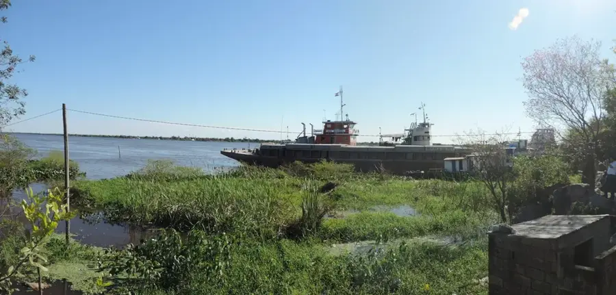
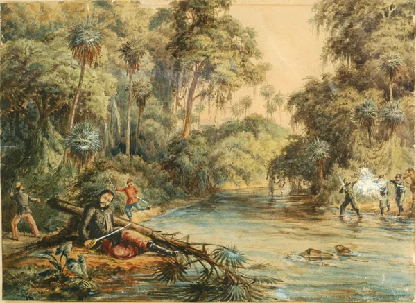
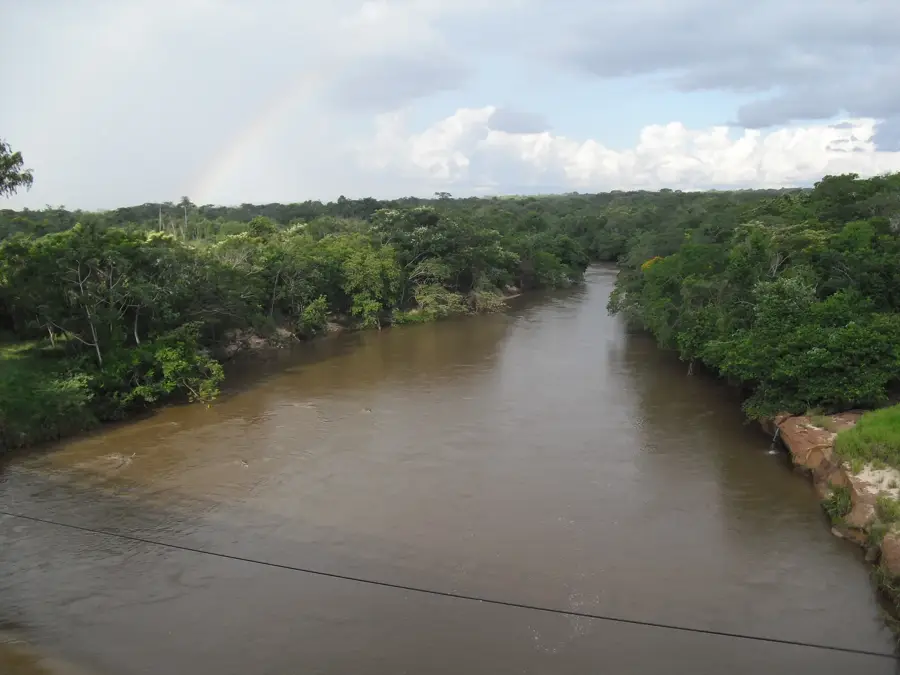
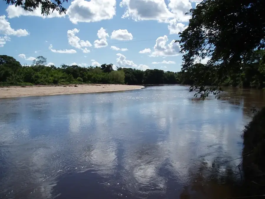
The Apa River is a significant waterway in northern Paraguay, functioning as a natural border with Brazil for approximately 480 kilometers. It originates in the Amambay mountain range and flows westward until it empties into the Paraguay River. Geographically, it separates the Paraguayan department of Concepción from the Brazilian state of Mato Grosso do Sul. The riverbanks are characterized by a mix of Cerrado savannas and dense gallery forests that support a high level of biodiversity. Historically, the river was a strategic boundary during the War of the Triple Alliance between 1864 and 1870. Today, the Apa remains vital for local fishing activities and serves as a primary water source for nearby agricultural settlements. Despite its importance, the region's remote location has helped preserve its natural environment from significant human encroachment and large-scale tourism.
- Location: Paraguay
- Nearby: Vallemí (50 km)
Best time to visit & climate
The most pleasant time to visit is Jun–Aug.
| Jan | Feb | Mar | Apr | May | Jun | Jul | Aug | Sep | Oct | Nov | Dec | |
|---|---|---|---|---|---|---|---|---|---|---|---|---|
| Avg °C | 29 | 29 | 28 | 26 | 22 | 20 | 20 | 23 | 26 | 28 | 28 | 29 |
| Rain mm | 149 | 148 | 105 | 106 | 102 | 58 | 38 | 25 | 59 | 124 | 180 | 151 |
📋 Practical info
Geography
Facts
- Total length of approximately 480 kilometers.
- Forms a natural border between Paraguay and Brazil.
- Confluence with the Paraguay River near San Lázaro.
- Source is located in the Amambay mountain range.
- Defines the northern limit of Concepción Department.
- Habitat for rare species like the giant river otter.
Explore nearby
Notable places around
Route planner — Car & Motorhome
Where do you start? We build the route here, with stops and country notes along the way.
© OpenStreetMap contributors · OpenRouteService
Sights nearby
Frequently asked questions
Is the Río Apa a border river?
Can you fish in the Río Apa?
How is the infrastructure at the river?
Are there hiking opportunities there?
What precautions apply?
Apa River: where is it located?
Apa River: when is the best time to visit?
Apa River: why is it worth visiting?

Nearby cities