Plizio Visual Lab
Wadi el-Far'a
Weather…
Water temperature…
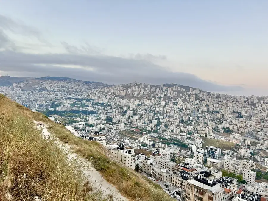
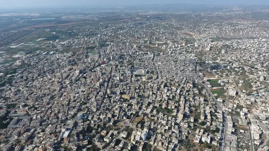
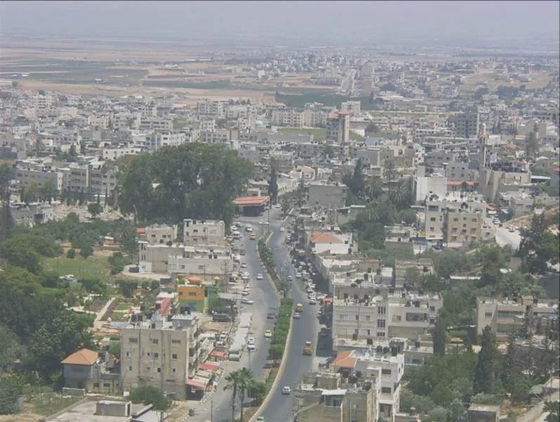
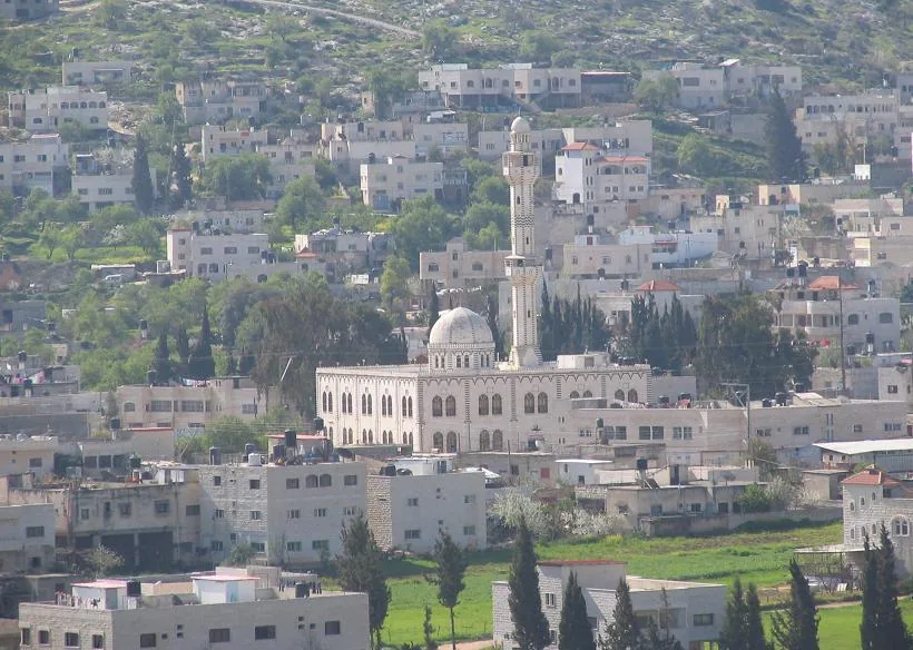
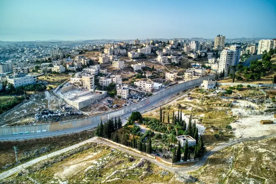
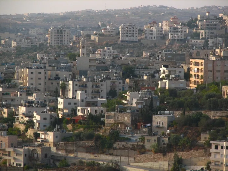
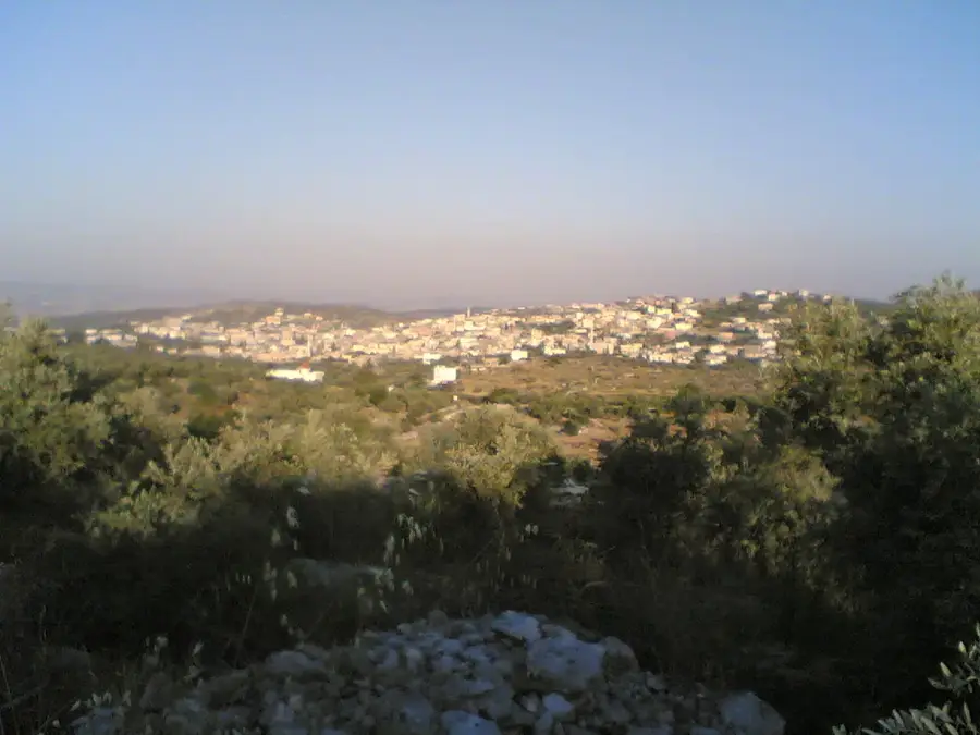
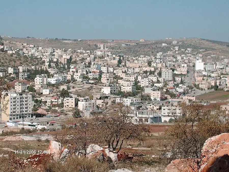
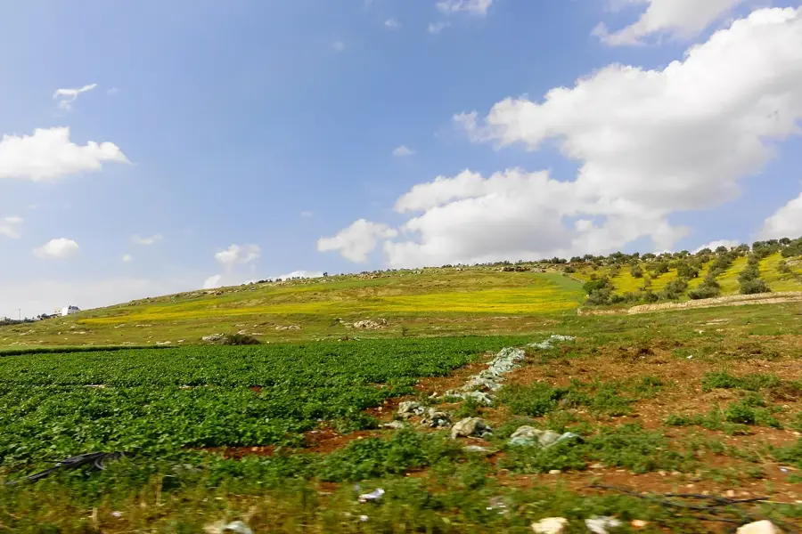
Wadi el-Far'a is one of the most water-rich and fertile valleys in the West Bank, stretching from the highlands near Nablus down to the Jordan Valley. Fed by several permanent springs, the wadi sustains an intensive agricultural belt that produces much of the region's citrus, bananas, and vegetables. Its historical importance is immense, as the valley contains archaeological sites like Tell el-Far'ah, widely identified with the ancient biblical city of Tirzah. Beyond its economic role, the valley acts as a crucial natural corridor for wildlife and migratory birds moving between the highlands and the rift valley. The lush greenery of the wadi floor provides a stark and beautiful contrast to the surrounding arid mountains, making it a popular destination for hikers and nature enthusiasts. Exploring Wadi el-Far'a features a unique perspective on traditional Palestinian farming techniques and the critical role of water management in this historically contested landscape.
- Location: Palestinian Territories
- Top sights: Yabous Youth Museum · Saladin Castle · Al-Rabat Mosque
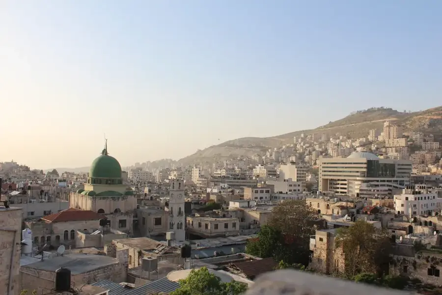
- Nearby: Nablus Old City (12 km)
Best time to visit & climate
The most pleasant time to visit is Apr, May, Oct.
| Jan | Feb | Mar | Apr | May | Jun | Jul | Aug | Sep | Oct | Nov | Dec | |
|---|---|---|---|---|---|---|---|---|---|---|---|---|
| Avg °C | 11 | 12 | 15 | 19 | 23 | 27 | 29 | 29 | 27 | 24 | 18 | 13 |
| Rain mm | 93 | 79 | 40 | 20 | 6 | 1 | 0 | 1 | 2 | 12 | 40 | 79 |
📋 Practical info
Geography
Facts
- It is the largest tributary of the lower Jordan River
- The wadi stretches for approximately 25 kilometers
- Over 10 springs emerge within the valley's limits
- Neolithic settlement remains have been discovered here
- The region produces 30% of the West Bank's vegetables
- Ancient mill ruins are found along the watercourse
Explore nearby
Notable places around
Route planner — Car & Motorhome
Where do you start? We build the route here, with stops and country notes along the way.
© OpenStreetMap contributors · OpenRouteService
Sights in the town Wadi el-Far'a (4)
Sights nearby
Frequently asked questions
What makes Wadi el-Far'a special?
Can one hike there?
When is the best time for a visit?
Is the valley family-friendly?
Are there places to eat there?
Wadi el-Far'a: where is it located?
Wadi el-Far'a: what is there to see?
Wadi el-Far'a: when is the best time to visit?
Wadi el-Far'a: why is it worth visiting?

Nearby cities